Froxen Copse

Wood, Forest in Dorset

England

Froxen Copse

Rockley Viaduct The railway runs from Poole to Wareham.
Rockley Viaduct Credit: Steve Daniels

Froxen Copse is a picturesque woodland located in the county of Dorset, England. Situated in the heart of the Dorset Area of Outstanding Natural Beauty, this enchanting forest covers an area of approximately 50 hectares.

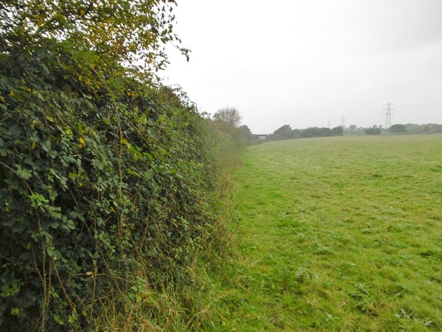
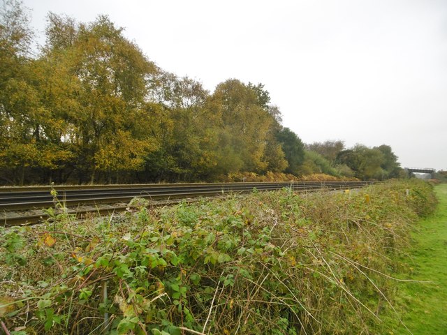
The copse is characterized by its dense canopy of trees, which consists mainly of native species such as oak, beech, and ash. These towering trees create a sense of tranquility and provide a rich habitat for a variety of wildlife. The forest floor is carpeted with a diverse range of flora, including bluebells, primroses, and wild garlic, adding to the copse's natural beauty.

Froxen Copse is a popular destination among nature enthusiasts and hikers, offering a network of well-maintained footpaths that wind through the trees. These pathways provide visitors with the opportunity to explore the copse at their own pace, while enjoying the sights and sounds of the surrounding wildlife.

The copse also boasts a small stream that meanders through its heart, providing a serene backdrop to the woodland experience. This stream offers a refreshing spot for visitors to rest and enjoy the peaceful ambiance of the copse.

Froxen Copse is not only a haven for nature lovers, but also a valuable ecological resource. It supports a diverse range of bird species, including woodpeckers, owls, and various songbirds. The copse also provides habitat for small mammals such as squirrels, rabbits, and badgers.

Overall, Froxen Copse is a remarkable woodland that showcases the beauty of Dorset's natural landscape. Its rich biodiversity, well-preserved trails, and idyllic setting make it a must-visit destination for anyone seeking to immerse themselves in the splendor of nature.

If you have any feedback on the listing, please let us know in the comments section below.
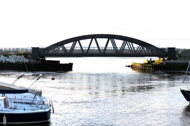
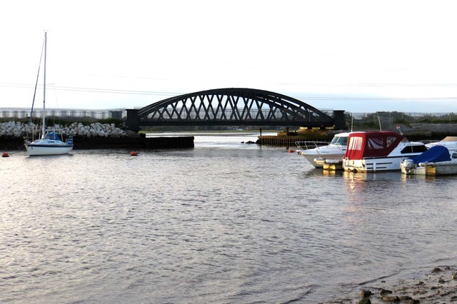
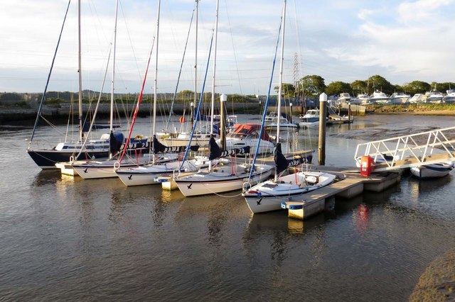
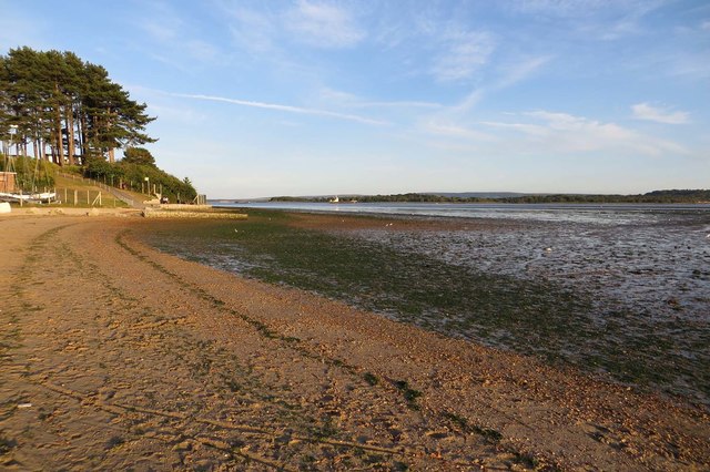
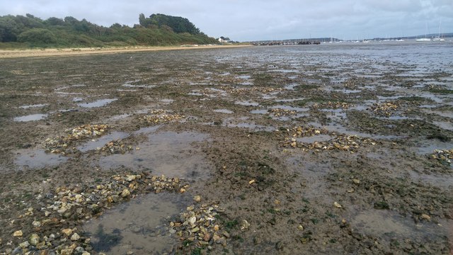
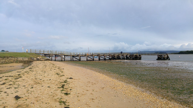
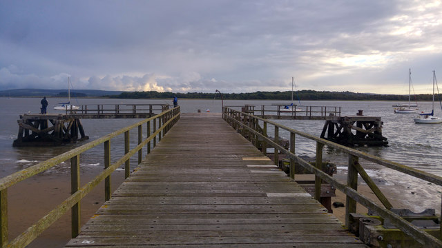
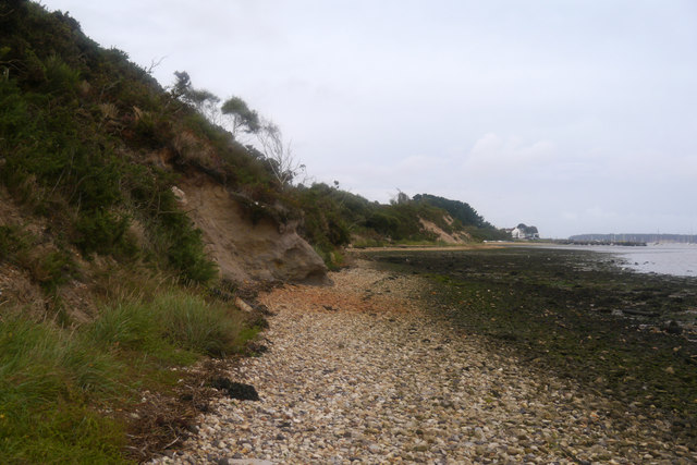
Froxen Copse Images

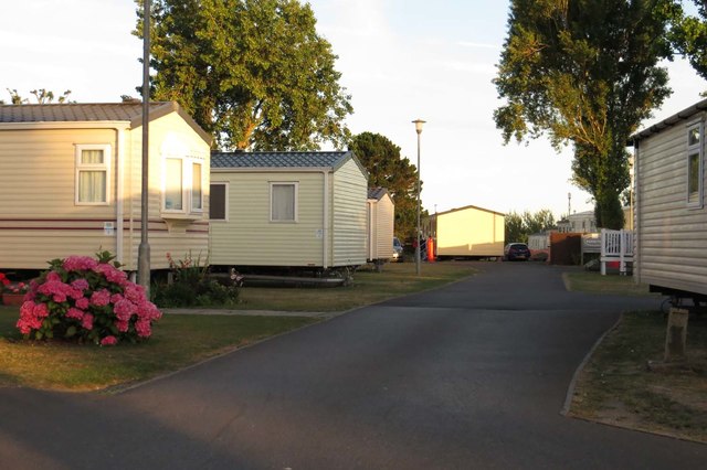
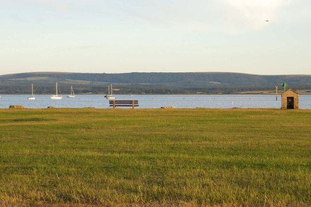
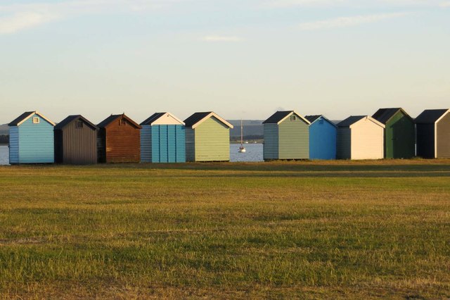
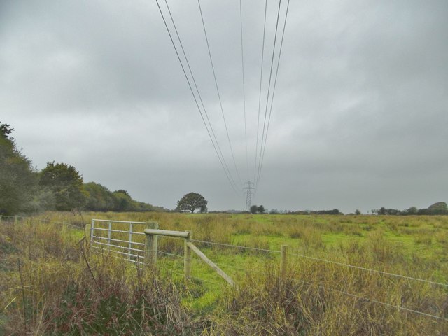
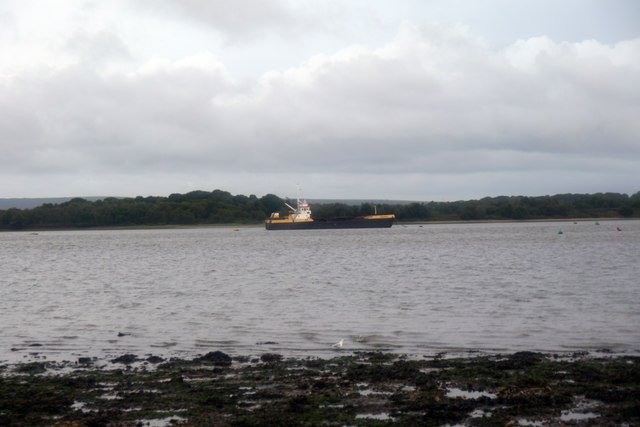
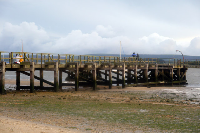
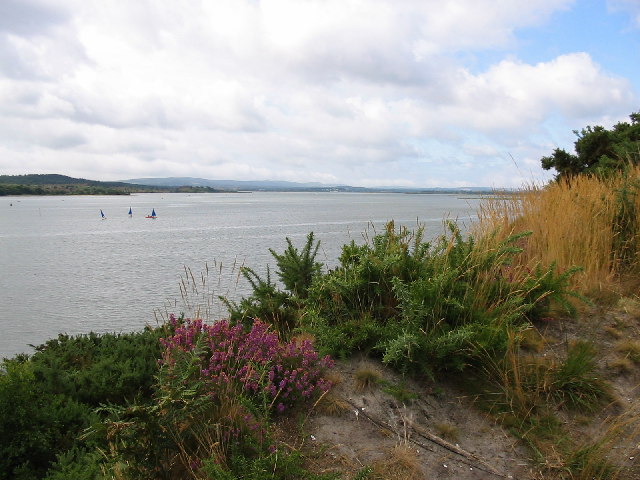
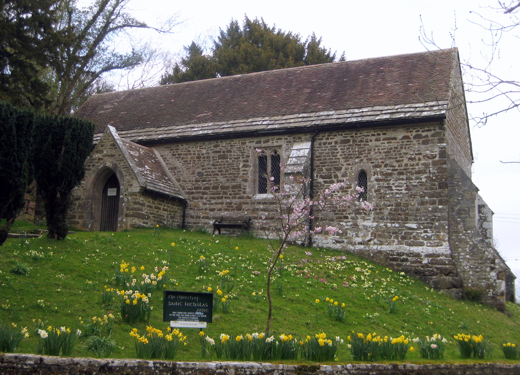
Images are sourced within 2km of 50.705754/-2.0317826 or Grid Reference SY9789. Thanks to Geograph Open Source API. All images are credited.

Rockley Viaduct The railway runs from Poole to Wareham.
Rockley Viaduct
The railway runs from Poole to Wareham.
Rockley Viaduct The railway runs from Poole to Wareham.
Rockley Viaduct
The railway runs from Poole to Wareham.
Moorings by Rockley Point
Beach by Rockley Point
Rockley Park
Rockley Park
Hamworthy Park
Hamworthy Park
Beach huts in Hamworthy Park
Holton Lee, power lines Striding across Clump Field: <span class="nowrap"><a title="http://www.holtonlee.org/" rel="nofollow ugc noopener" href="http://www.holtonlee.org/">Link</a><img style="margin-left:2px;" alt="External link" title="External link - shift click to open in new window" src="https://s1.geograph.org.uk/img/external.png" width="10" height="10"/></span>
Holton Lee, power lines
Striding across Clump Field: LinkExternal link
Holton Lee, hedge Forming the boundary between the Waterloo to Weymouth line and Holton Lee: <span class="nowrap"><a title="http://www.holtonlee.org/" rel="nofollow ugc noopener" href="http://www.holtonlee.org/">Link</a><img style="margin-left:2px;" alt="External link" title="External link - shift click to open in new window" src="https://s1.geograph.org.uk/img/external.png" width="10" height="10"/></span>
Holton Lee, hedge
Forming the boundary between the Waterloo to Weymouth line and Holton Lee: LinkExternal link
East Holton, railway lines On the Waterloo to Weymouth line.
East Holton, railway lines
On the Waterloo to Weymouth line.
Holton Point, southwest shore of Lytchett Bay, west of Poole Gabions, lower left, protect the railway embankment from this tidal extension of Poole Harbour.
Holton Point, southwest shore of Lytchett Bay, west of Poole
Gabions, lower left, protect the railway embankment from this tidal extension of Poole Harbour.
Beach below Ham Common, Poole Harbour
Foreshore near Ham Common and Hamworthy Beach, Poole Harbour
Hamworthy Beach and Lake Pier, Poole Harbour
Lake Pier, Poole Harbour
Beach below Ham Common, Poole Harbour, Dorset Adjoining Rock Lea River / Wareham Channel.
Beach below Ham Common, Poole Harbour, Dorset
Adjoining Rock Lea River / Wareham Channel.
View across Wareham Channel, Poole Harbour, towards Arne
Lake Pier, Wareham Channel, Poole Harbour
Show me another place!

Froxen Copse is located at Grid Ref: SY9789 (Lat: 50.705754, Lng: -2.0317826)

Unitary Authority: Dorset

Police Authority: Dorset

What 3 Words

///statue.broad.ready. Near Poole, Dorset

Related Wikis

Hamworthy Beach

Hamworthy Beach is situated between the Marine Camp and Rockley Sands in Poole Bay, Dorset, known to locals but more difficult to find for outsiders. The...

Ham Common, Dorset

Ham Common is a Local Nature Reserve at Hamworthy, near Poole, Dorset. Located on the north west shores of Poole Harbour, it is predominantly a heathland...

Arne, Dorset

Arne is a village and civil parish in Dorset, England, situated 4 miles (6.4 km) east of Wareham. The local travel links are located at Wareham railway...

RM Poole

Royal Marines Base Poole (RM Poole) is a British naval base located in Hamworthy a suburb of Poole, Dorset, England on the Poole Harbour and is the centre...

Nearby Amenities

Located within 500m of 50.705754,-2.0317826
Source: PGS
Lat/Long: 50.7013284/-2.0318693
Source: PGS
Lat/Long: 50.7017026/-2.0319092
Source: PGS
Lat/Long: 50.7019167/-2.0325346
Source: PGS
Lat/Long: 50.7019481/-2.0313051
Source: PGS
Lat/Long: 50.7023134/-2.0311594
Source: PGS
Lat/Long: 50.7025245/-2.0315014
Source: PGS
Lat/Long: 50.7031418/-2.0303486
Source: PGS
Lat/Long: 50.7033456/-2.0297334
Source: PGS
Lat/Long: 50.7034149/-2.0290846
Source: PGS
Lat/Long: 50.7063141/-2.0247979
Source: PGS
Lat/Long: 50.7067016/-2.0254563
Source: PGS
Lat/Long: 50.7071182/-2.0258092
Source: PGS
Lat/Long: 50.7074416/-2.0261806
Source: PGS
Lat/Long: 50.7072275/-2.027008
Source: PGS
Lat/Long: 50.7071622/-2.0274069
Source: PGS
Lat/Long: 50.7072178/-2.0279701
Source: PGS
Lat/Long: 50.7073951/-2.0313064
Source: PGS
Lat/Long: 50.7078505/-2.0319166
Source: PGS
Lat/Long: 50.7079918/-2.0327563
Material: wood
Power: pole
Source: bing
Lat/Long: 50.7025316/-2.0363118
Material: wood
Power: pole
Source: bing
Lat/Long: 50.7032056/-2.0355068
Material: wood
Power: pole
Source: bing
Lat/Long: 50.7038392/-2.0347495
The data included in this document is from www.openstreetmap.org. The data is made available under ODbL.

Have you been to Froxen Copse?

Leave your review of Froxen Copse below (or comments, questions and feedback).