Nannies Belt
Wood, Forest in Wiltshire
England
Nannies Belt
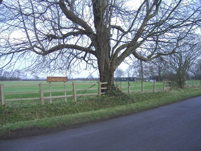
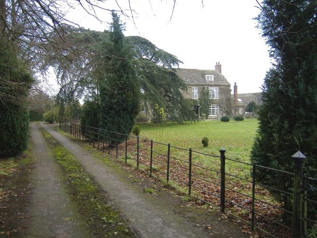
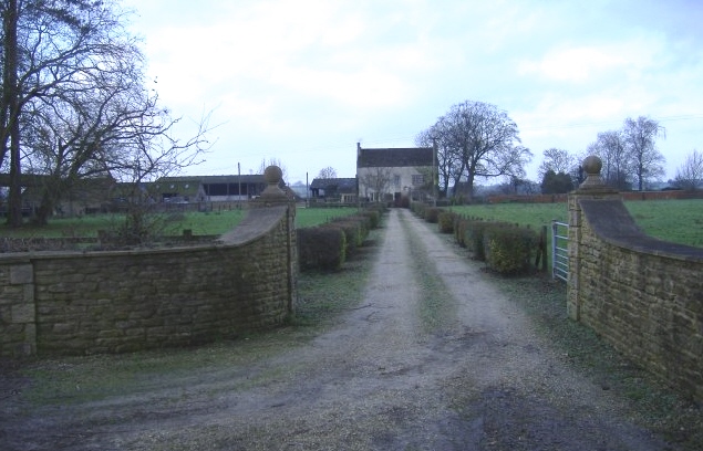
Nannies Belt is a picturesque woodland area located in Wiltshire, England. Situated near the village of Wood, it is a popular destination for nature enthusiasts and those seeking tranquility amidst beautiful surroundings.
Covering an area of approximately 100 acres, Nannies Belt is characterized by its dense forest and abundant wildlife. The woodland is primarily composed of a variety of deciduous trees, including oak, beech, and birch, which create a stunning display of colors during the autumn months.
The forest floor of Nannies Belt is carpeted with an array of wildflowers and ferns, adding to the area's natural beauty. Visitors can explore the woodland through a network of well-maintained trails that wind their way through the trees, providing opportunities for leisurely walks or more vigorous hikes.
As a protected area, Nannies Belt is home to a diverse range of wildlife. Birdwatchers can spot species such as woodpeckers, owls, and various songbirds, while mammals like deer, foxes, and badgers can also be observed. Nature lovers may also encounter smaller creatures like squirrels, rabbits, and hedgehogs during their explorations.
Nannies Belt offers a peaceful retreat away from the hustle and bustle of everyday life. Its tranquil atmosphere, combined with its natural beauty, makes it a popular spot for photography, picnicking, and simply enjoying the serenity of the outdoors.
Overall, Nannies Belt is a hidden gem in Wiltshire, providing a haven for nature enthusiasts and offering a unique opportunity to immerse oneself in the beauty of an enchanting woodland setting.
If you have any feedback on the listing, please let us know in the comments section below.
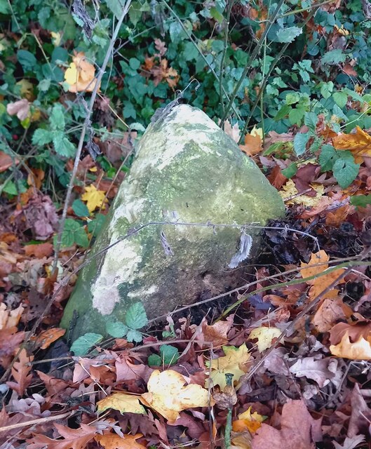
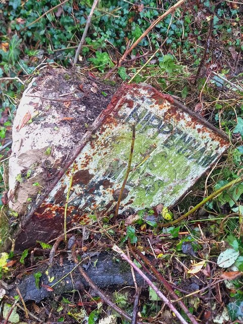
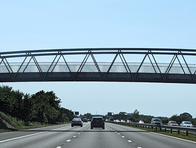
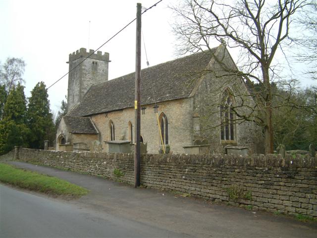
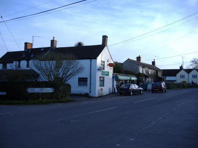
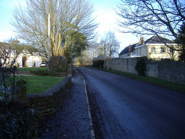
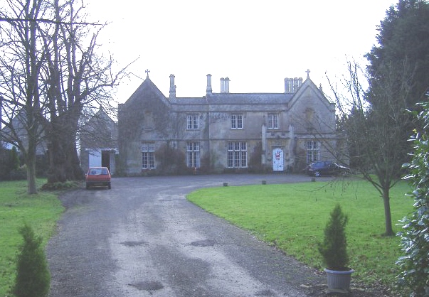
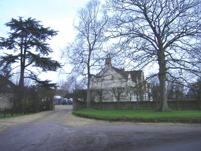
Nannies Belt Images
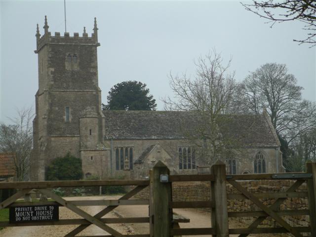
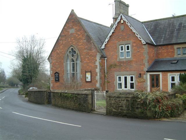
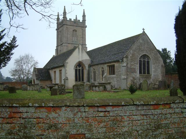
Images are sourced within 2km of 51.54642/-2.0323264 or Grid Reference ST9783. Thanks to Geograph Open Source API. All images are credited.
Nannies Belt is located at Grid Ref: ST9783 (Lat: 51.54642, Lng: -2.0323264)
Unitary Authority: Wiltshire
Police Authority: Wiltshire
What 3 Words
///training.dangerously.officials. Near Sutton Benger, Wiltshire
Nearby Locations
Related Wikis

Brinkworth Brook
The Brinkworth Brook is a tributary of the Bristol Avon. It rises near Broad Hinton in Wiltshire in the West Country of England, and flows in a north...

Great Somerford Halt railway station
Great Somerford Halt was a station on the Malmesbury Branch Line of the Great Western Railway in Wiltshire, England. It was open from 1877 to 1933 for...

Little Somerford railway station
Little Somerford railway station served the village of Little Somerford, Wiltshire, England from 1903 to 1963. It was on the South Wales Main Line and...

Great Somerford
Great Somerford is a village and civil parish within Dauntsey Vale, Wiltshire, England, near the south bank of the river Avon. It lies approximately 3...

Little Somerford
Little Somerford is a village and civil parish in Wiltshire, England, 3 miles (4.8 km) southeast of Malmesbury and 7.5 miles (12.1 km) northeast of Chippenham...

Dauntsey
Dauntsey is a small village and civil parish in the county of Wiltshire, England. It gives its name to the Dauntsey Vale in which it lies and takes its...

Royal Agricultural University
The Royal Agricultural University (RAU), formerly the Royal Agricultural College, is a public university in Cirencester, Gloucestershire, England. Established...
Dauntsey Vale
The Dauntsey Vale is a geographical feature in the north of the English county of Wiltshire. It is characterised by a wide, flat, clay floodplain of the...
Nearby Amenities
Located within 500m of 51.54642,-2.0323264Have you been to Nannies Belt?
Leave your review of Nannies Belt below (or comments, questions and feedback).