Ford Moss
Downs, Moorland in Northumberland
England
Ford Moss
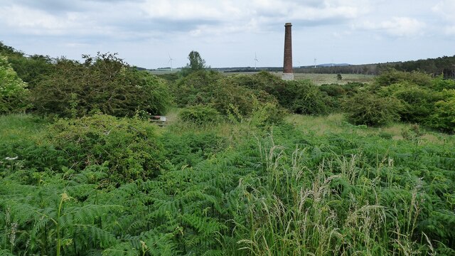
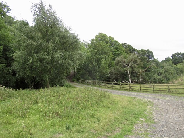
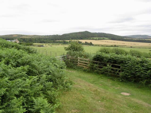
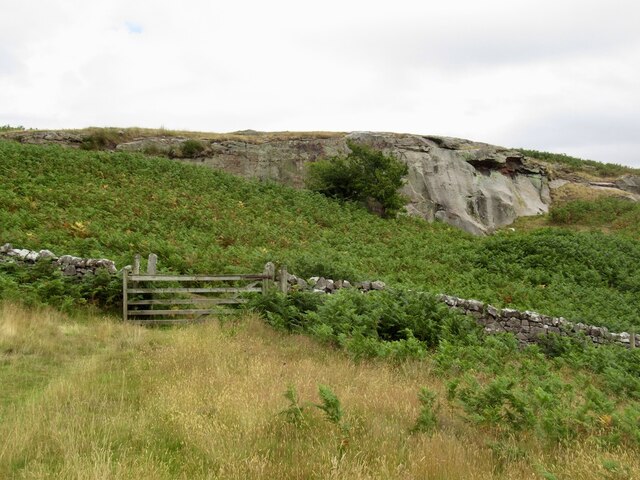
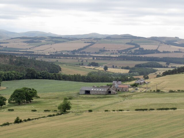
Ford Moss is a picturesque area located in the county of Northumberland, England. Situated in the northern part of the country, it is known for its diverse landscape, encompassing downs, moorland, and marshes. The region is a haven for nature enthusiasts and offers breathtaking views of the surrounding countryside.
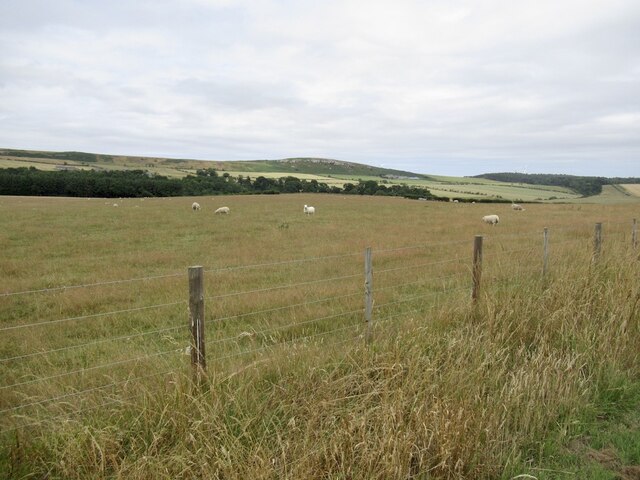
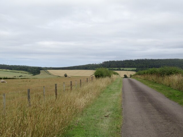
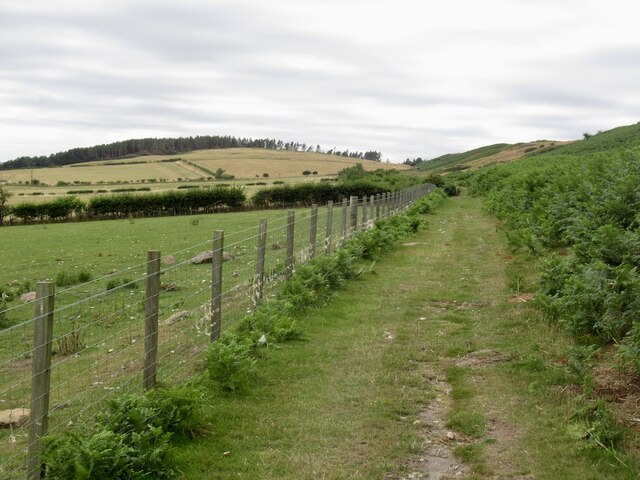
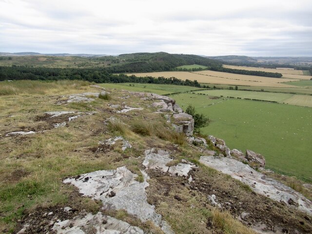
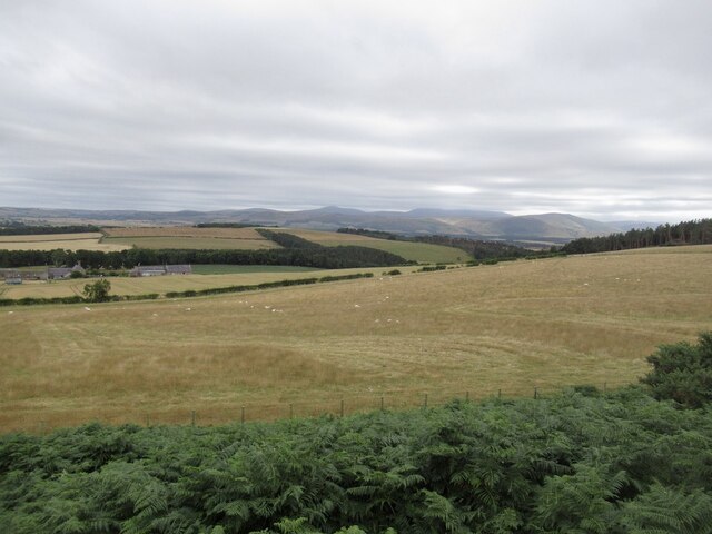
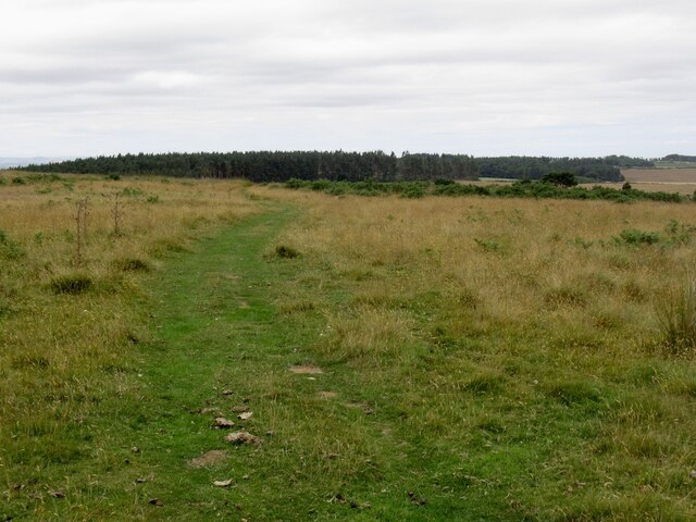
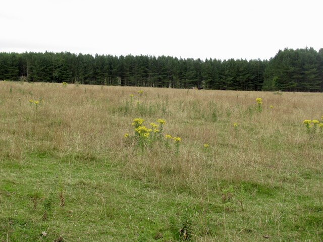
The downs in Ford Moss are characterized by their gentle slopes and grassy expanses. The area is abundant in wildflowers, which bloom in vibrant colors during the spring and summer months. Walking trails crisscross the downs, providing visitors with opportunities to explore the area and take in the panoramic vistas.
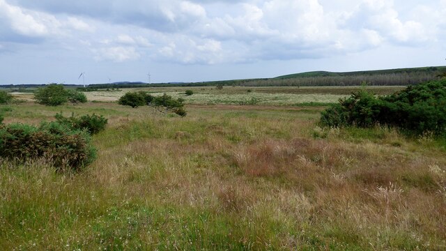
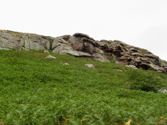
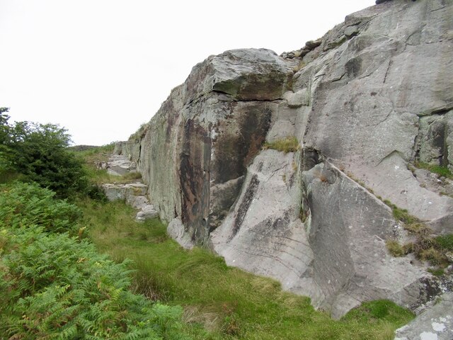
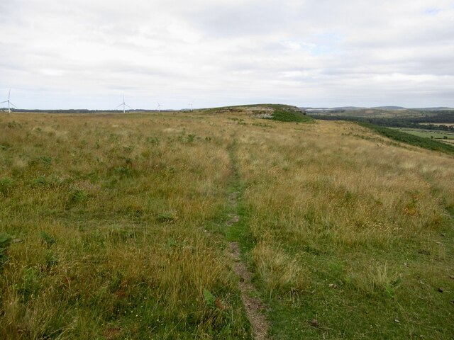
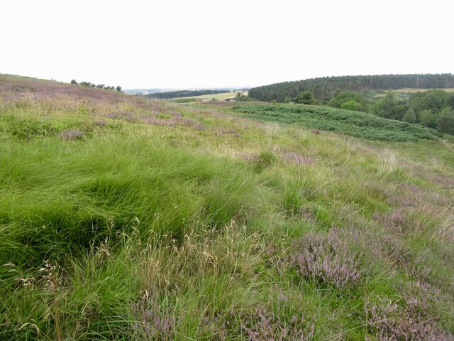
Moorland, on the other hand, dominates the higher elevations of Ford Moss. Here, heather covers vast stretches of land, creating a purple-hued landscape in late summer. The moors are home to a variety of bird species, including grouse, curlews, and skylarks, making it a popular spot for birdwatching.
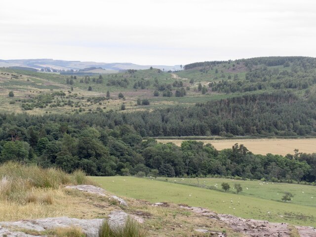
Ford Moss's marshes are located in the low-lying areas and are teeming with wildlife. These wetlands serve as important habitats for various bird species, such as ducks, geese, and herons. They are also home to a diverse range of plant life, including reeds and sedges.
Overall, Ford Moss offers a delightful blend of downs, moorland, and marshes, making it a must-visit destination for nature lovers. Its stunning landscapes, rich biodiversity, and tranquil atmosphere make it an ideal place to immerse oneself in the beauty of the Northumberland countryside.
If you have any feedback on the listing, please let us know in the comments section below.
Ford Moss Images
Images are sourced within 2km of 55.632678/-2.0426037 or Grid Reference NT9737. Thanks to Geograph Open Source API. All images are credited.
Ford Moss is located at Grid Ref: NT9737 (Lat: 55.632678, Lng: -2.0426037)
Unitary Authority: Northumberland
Police Authority: Northumbria
What 3 Words
///supply.securing.stalemate. Near Ford, Northumberland
Nearby Locations
Related Wikis

Ford, Northumberland
Ford is a small village and civil parish in Northumberland, England, about 13 miles (21 km) from Berwick-upon-Tweed. The parish also includes Etal. �...

Lady Waterford Hall
Lady Waterford Hall is the former village school of the estate village of Ford, Northumberland. It is now used as the village hall and is a Grade II* listed...

Ford Castle
Ford Castle is a Grade I listed building situated at a shallow crossing point on the River Till, Ford, Northumberland, England. The castle dates from about...
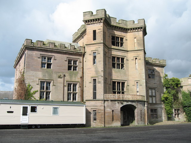
Barmoor Castle
Barmoor Castle ( grid reference NT99723988) is a privately owned 19th-century country house built on an ancient site in Northumberland. It is a Grade...
Have you been to Ford Moss?
Leave your review of Ford Moss below (or comments, questions and feedback).