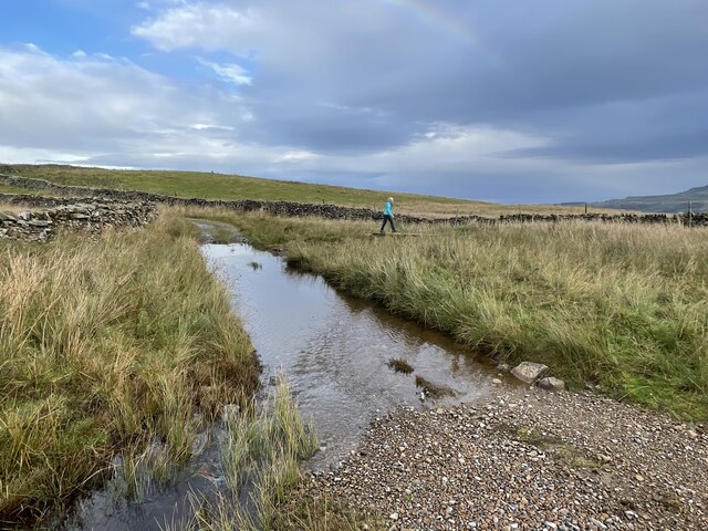
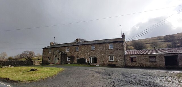
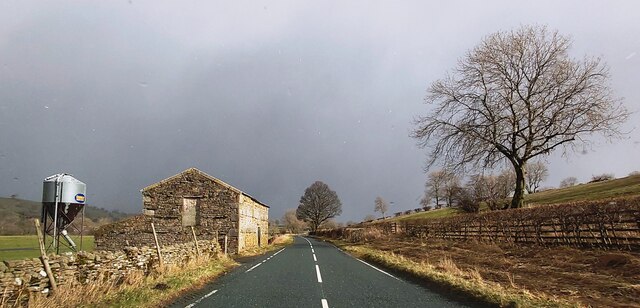
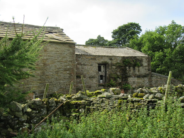
Barker Pasture

Downs, Moorland in Yorkshire Richmondshire

England

Barker Pasture

Flout Moor Lane Ford This ford on Haw Beck is found on Flout Moor Lane.
Flout Moor Lane Ford Credit: John Walton

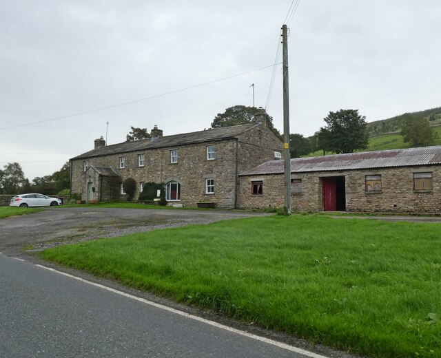
Barker Pasture is a picturesque and expansive area located in the heart of Yorkshire, encompassing the scenic landscapes of the Downs and Moorland. Spanning over several miles, it is a haven for nature enthusiasts, offering a diverse range of flora and fauna.

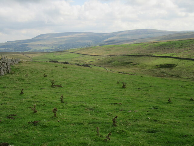
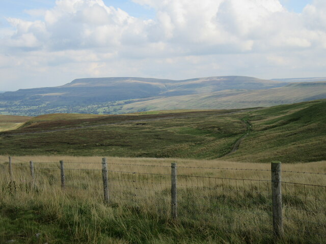
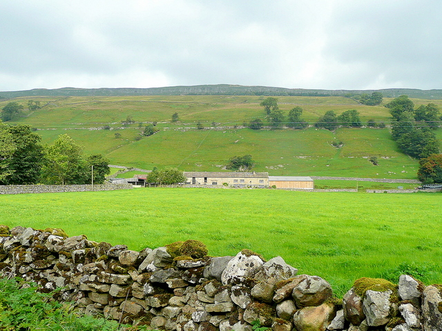
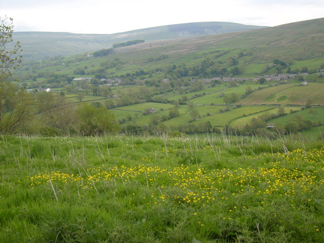
The Downs section of Barker Pasture is characterized by its rolling hills, lush green meadows, and panoramic views. It is an ideal location for hikers and cyclists, with numerous trails and paths meandering through the countryside. Visitors can marvel at the sight of grazing sheep and cattle, adding to the idyllic countryside charm.

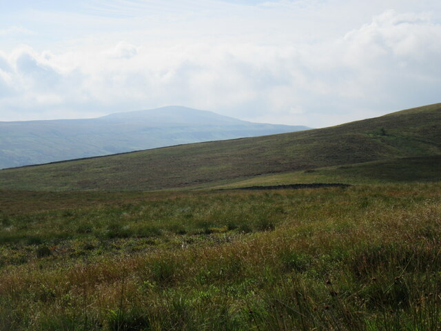
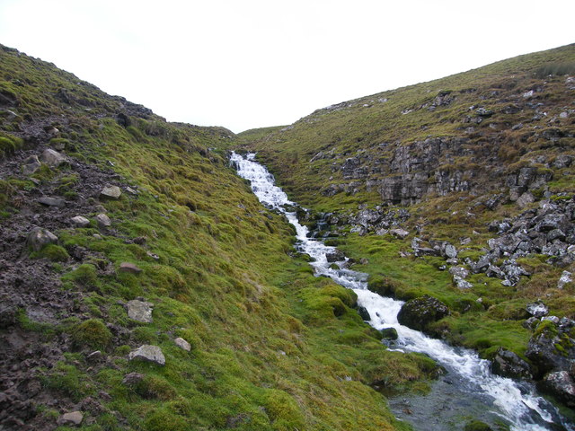
Transitioning into the Moorland, the landscape becomes more rugged and wild. Here, heather-covered hills dominate the scenery, their vibrant purple hues creating a stunning contrast against the greenery. The moorland is dotted with ancient stone structures, remnants of the area's rich history. It offers a unique opportunity for birdwatchers, as it is home to various species, including the iconic red grouse and merlin.

Barker Pasture is also known for its historical significance. The area boasts archaeological sites, such as ancient burial mounds and stone circles, providing a glimpse into Yorkshire's past. Visitors can explore these sites and learn about the region's cultural heritage.

Overall, Barker Pasture in Yorkshire is a captivating destination for nature lovers, history enthusiasts, and those seeking a peaceful escape. Its combination of Downs and Moorland landscapes offers a diverse and enchanting experience, making it a must-visit location in the region.

If you have any feedback on the listing, please let us know in the comments section below.

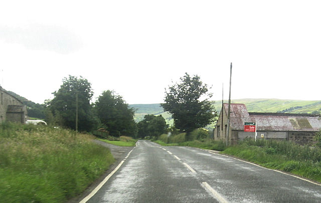
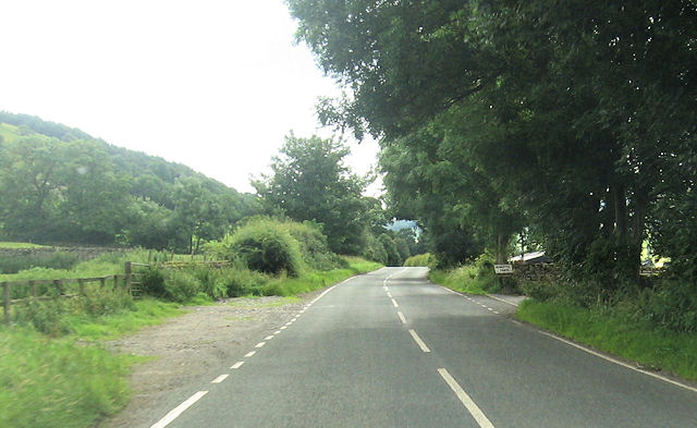
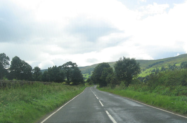
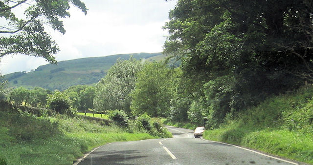
Barker Pasture Images

Images are sourced within 2km of 54.264624/-2.041203 or Grid Reference SD9785. Thanks to Geograph Open Source API. All images are credited.

Flout Moor Lane Ford This ford on Haw Beck is found on Flout Moor Lane.
Flout Moor Lane Ford
This ford on Haw Beck is found on Flout Moor Lane.
East Lane House
East Lane House
B6160 in Bishopdale
B6160 in Bishopdale
Looking towards Addlebrough Looking west from the footpath.
Looking towards Addlebrough
Looking west from the footpath.
Gayle Ing Unoccupied Farm on the moors above Thornton Rust.
Gayle Ing
Unoccupied Farm on the moors above Thornton Rust.
Gayle Ing Beck valley Looking east down into the Gayle Ing Beck valley.
Gayle Ing Beck valley
Looking east down into the Gayle Ing Beck valley.
Stake Road view Looking SE from Stake Road.
Stake Road view
Looking SE from Stake Road.
Looking towards Penhill Looking towards Penhill from Stake Road.
Looking towards Penhill
Looking towards Penhill from Stake Road.
East Lane House
East Lane House
Waterfall, Stake Fell This unnamed fall is more of a cascade really but still drops around 50ft in a short distance. Recent weather had brought the moorland springs to life. Under normal conditions I think there would hardly be a trickle.
Waterfall, Stake Fell
This unnamed fall is more of a cascade really but still drops around 50ft in a short distance. Recent weather had brought the moorland springs to life. Under normal conditions I think there would hardly be a trickle.
New House Farm High Scar is the rocky outcrop way above the Bishopdale valley floor.
New House Farm
High Scar is the rocky outcrop way above the Bishopdale valley floor.
View from Side Road The view across Bishopdale to Newbiggin, taken from Side Road.
View from Side Road
The view across Bishopdale to Newbiggin, taken from Side Road.
Benchmark on stone in wall of Haw Lane at Hacker Gill Ordnance Survey pivot benchmark described on the Bench Mark Database at <span class="nowrap"><a title="http://www.bench-marks.org.uk/bm44115" rel="nofollow ugc noopener" href="http://www.bench-marks.org.uk/bm44115">Link</a><img style="margin-left:2px;" alt="External link" title="External link - shift click to open in new window" src="https://s1.geograph.org.uk/img/external.png" width="10" height="10"/></span>
Benchmark on stone in wall of Haw Lane at Hacker Gill
Ordnance Survey pivot benchmark described on the Bench Mark Database at LinkExternal link
Haw Lane at Hacker Gill There is an OS benchmark <a href="https://www.geograph.org.uk/photo/3063655">SD9886 : Benchmark on stone in wall of Haw Lane at Hacker Gill</a> on a stone at the base of the wall at the left hand side of the image
Haw Lane at Hacker Gill
There is an OS benchmark SD9886 : Benchmark on stone in wall of Haw Lane at Hacker Gill on a stone at the base of the wall at the left hand side of the image
B6160 at East Lane House
Howesyke Farm entrance from B6160
B6160 just west of West Lane House
B6160 from New Gill entrance
Show me another place!

Barker Pasture is located at Grid Ref: SD9785 (Lat: 54.264624, Lng: -2.041203)

Division: North Riding

Administrative County: North Yorkshire

District: Richmondshire

Police Authority: North Yorkshire

What 3 Words

///learns.debut.oiled. Near Leyburn, North Yorkshire

Related Wikis

Castle Dykes Henge

Castle Dykes Henge is a Class I Neolithic henge earthwork in the Yorkshire Dales National Park in North Yorkshire, England, situated between the villages...

Newbiggin, south Wensleydale

Newbiggin is a village and civil parish in Bishopdale, a side dale on the south side of Wensleydale, in the Yorkshire Dales in North Yorkshire, England...

Yorkshire Dales

The Yorkshire Dales are an upland area of the Pennines in England. Most of the area is in the county of North Yorkshire, but it extends into Cumbria and...

Thoralby

Thoralby is a village and civil parish in the Richmondshire district of North Yorkshire, England. It lies south of Aysgarth, is within a mile of both Newbiggin...

Nearby Amenities

Located within 500m of 54.264624,-2.041203
Barker
Place: isolated_dwelling
Source: os_25k_firstseries
Lat/Long: 54.2639526/-2.0376044
Barker Pasture
Place: locality
Source: os_25k_firstseries
Lat/Long: 54.2645689/-2.0429111
Ford: yes
Lat/Long: 54.2654352/-2.0401851
The data included in this document is from www.openstreetmap.org. The data is made available under ODbL.

Have you been to Barker Pasture?

Leave your review of Barker Pasture below (or comments, questions and feedback).