Smelter Allotment
Downs, Moorland in Yorkshire Richmondshire
England
Smelter Allotment
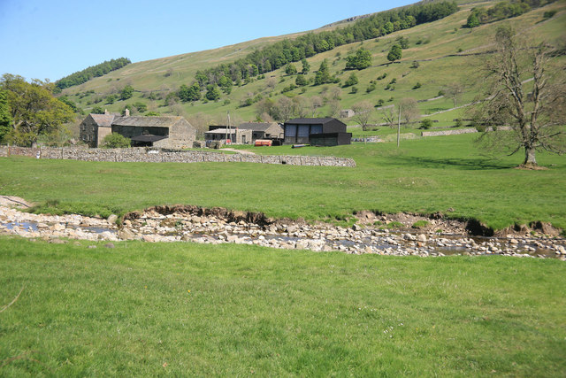
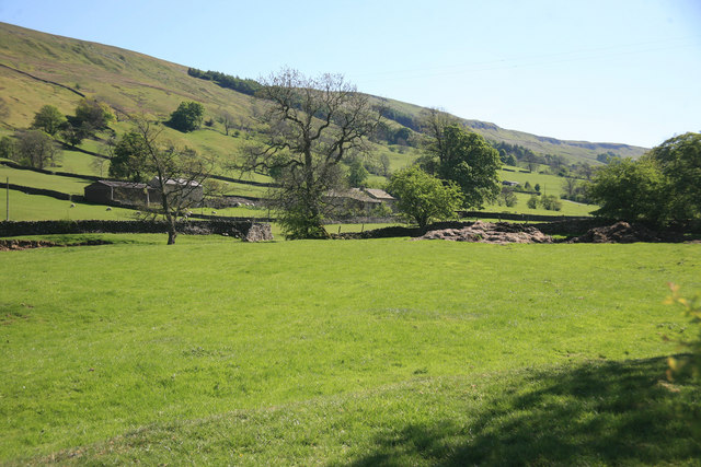
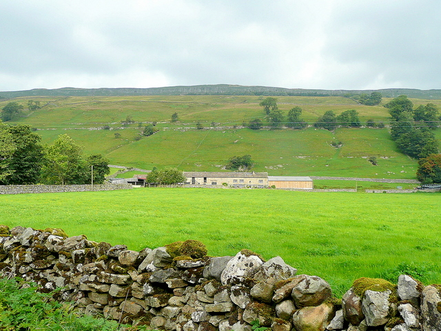
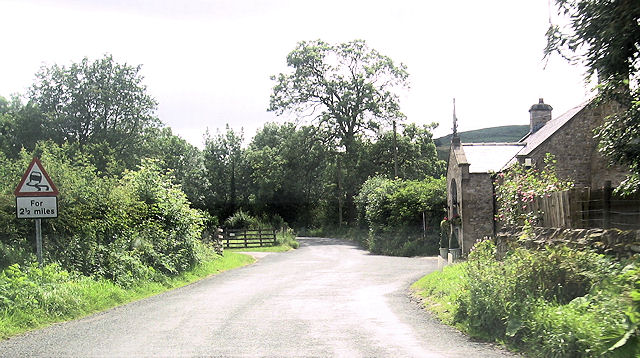
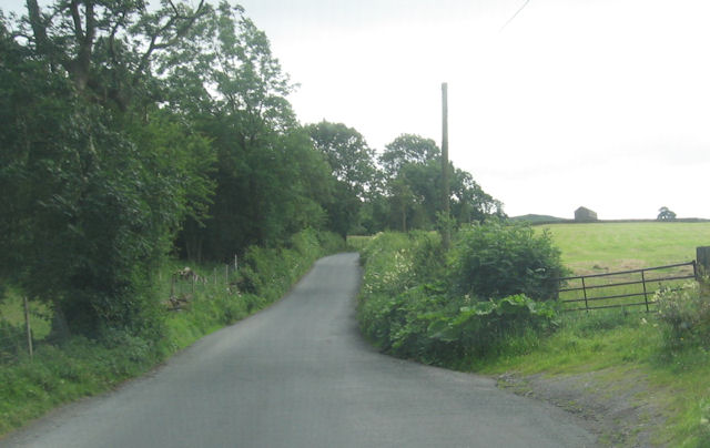
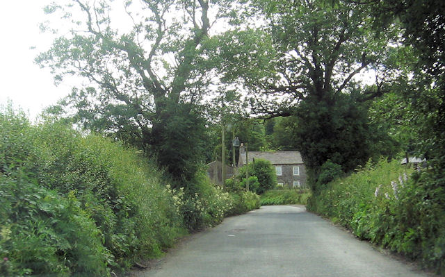
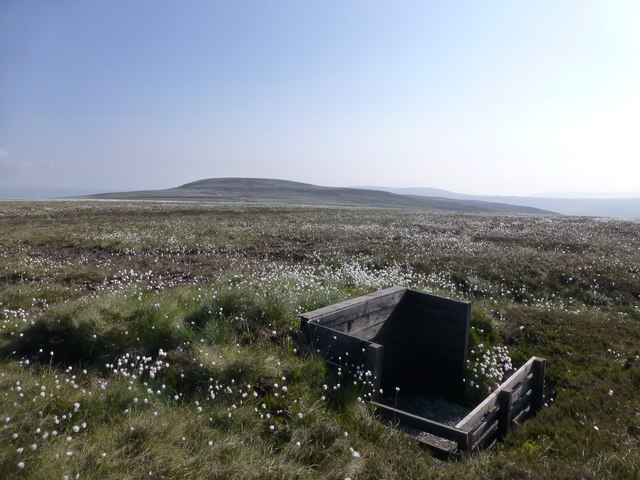
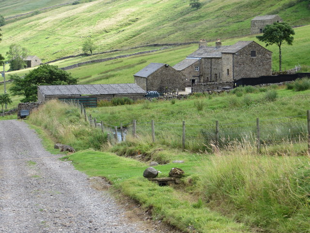
Smelter Allotment is a picturesque and idyllic region located in Yorkshire, England. Nestled within the stunning landscape of the Yorkshire Downs and Moorland, this allotment offers a serene and tranquil escape from the hustle and bustle of everyday life.
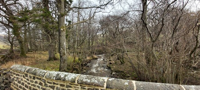
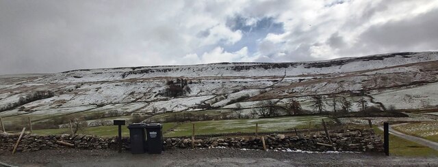
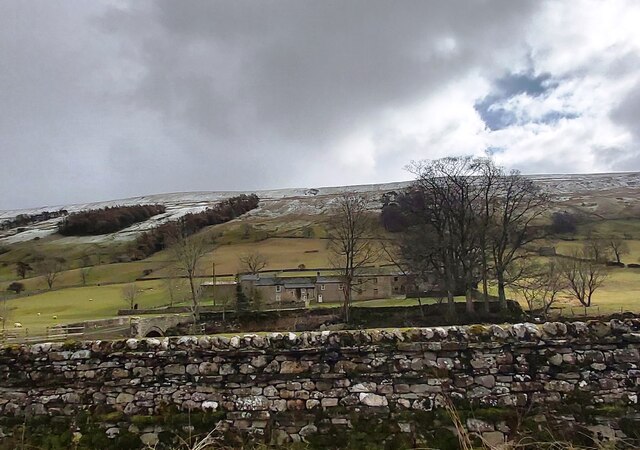
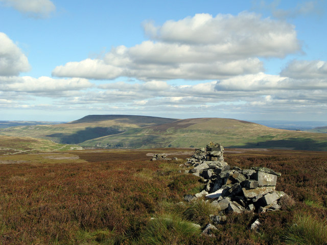
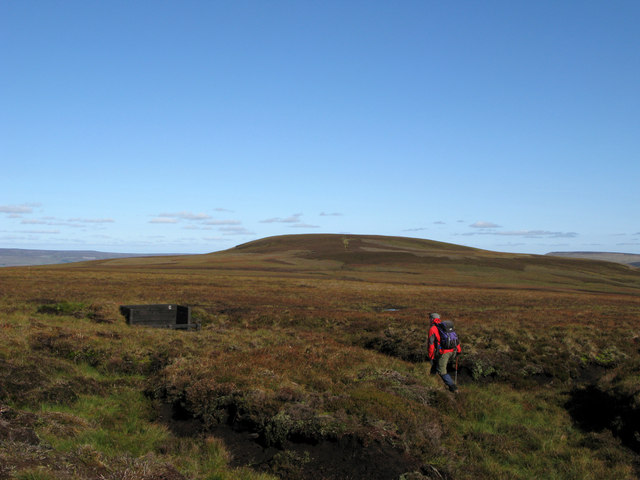
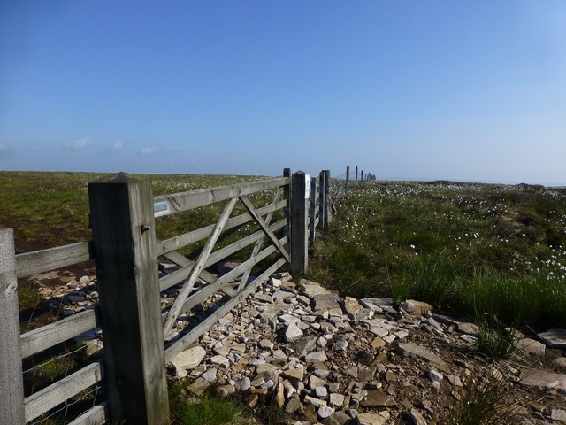
Covering a vast area, Smelter Allotment boasts an abundance of natural beauty, with rolling hills, lush green meadows, and meandering streams. The diverse flora and fauna found in this region make it a haven for nature enthusiasts and wildlife lovers.
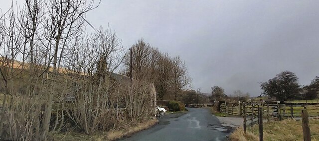
The allotment is known for its fertile soil, making it ideal for agriculture and horticulture. Local residents and farmers take advantage of this rich soil to cultivate a variety of crops, including vegetables, fruits, and flowers. The allotment also features well-maintained paths and walkways, providing easy access for visitors to explore the area at their leisure.
Within Smelter Allotment, visitors can enjoy a range of recreational activities. Hiking and walking trails offer breathtaking views of the surrounding countryside, while picnicking spots provide opportunities to relax and enjoy the peaceful atmosphere. The area is also home to a number of fishing spots, where anglers can try their luck in catching trout and other freshwater fish.
In summary, Smelter Allotment, located in Yorkshire's Downs and Moorland, offers a captivating and serene experience for nature enthusiasts and those seeking a peaceful retreat. With its lush green landscapes, fertile soil, and diverse wildlife, it is a truly enchanting destination for all to enjoy.
If you have any feedback on the listing, please let us know in the comments section below.
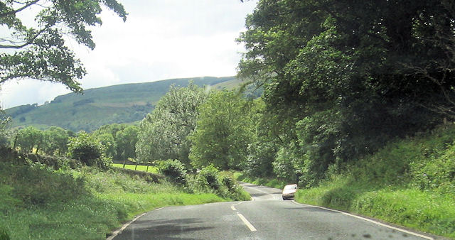
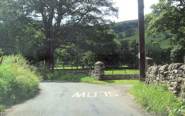
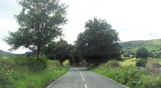
Smelter Allotment Images
Images are sourced within 2km of 54.23631/-2.0520829 or Grid Reference SD9682. Thanks to Geograph Open Source API. All images are credited.
Smelter Allotment is located at Grid Ref: SD9682 (Lat: 54.23631, Lng: -2.0520829)
Division: North Riding
Administrative County: North Yorkshire
District: Richmondshire
Police Authority: North Yorkshire
What 3 Words
///vowel.snored.fruitcake. Near Leyburn, North Yorkshire
Nearby Locations
Related Wikis

Bishopdale, North Yorkshire
Bishopdale is a dale in the Yorkshire Dales National Park in North Yorkshire, England. The dale is a side dale on the south side of Wensleydale, and extends...

Walden Head
Walden Head is a hamlet in the Yorkshire Dales, North Yorkshire. It lies 5 miles (8 km) of Aysgarth and to the north is a similar village Walden. The village...

Buckden Pike
Buckden Pike is a fell at the head of Wharfedale, a valley in the Yorkshire Dales, that stands above the village of Buckden, England. At 702 metres (2...

Yorkshire Dales
The Yorkshire Dales are an upland area of the Pennines in England. Most of the area is in the county of North Yorkshire, but it extends into Cumbria and...

Cray, North Yorkshire
Cray is a hamlet on the B6160 road on a steep hill above Wharfedale in the Yorkshire Dales, North Yorkshire, England. It is near Buckden and the River...

Walden, North Yorkshire
Walden is a dale and hamlet in the Yorkshire Dales, North Yorkshire, England. The dale is a side dale of Wensleydale, sometimes known as Waldendale or...

Burton-cum-Walden
Burton-cum-Walden is a civil parish in North Yorkshire, England, in the Yorkshire Dales National Park. It had a population of 303 according to the 2011...

Newbiggin, south Wensleydale
Newbiggin is a village and civil parish in Bishopdale, a side dale on the south side of Wensleydale, in the Yorkshire Dales in North Yorkshire, England...
Nearby Amenities
Located within 500m of 54.23631,-2.0520829Have you been to Smelter Allotment?
Leave your review of Smelter Allotment below (or comments, questions and feedback).