Smelter Plantation
Wood, Forest in Yorkshire Richmondshire
England
Smelter Plantation
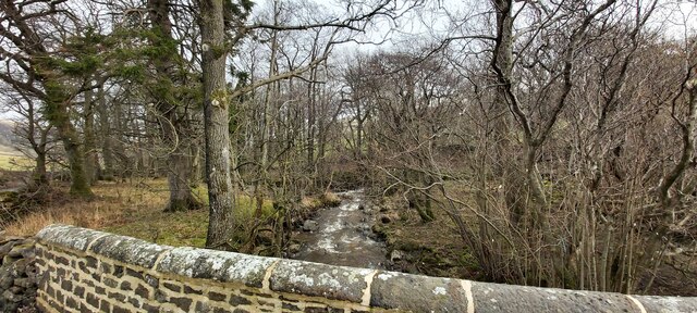
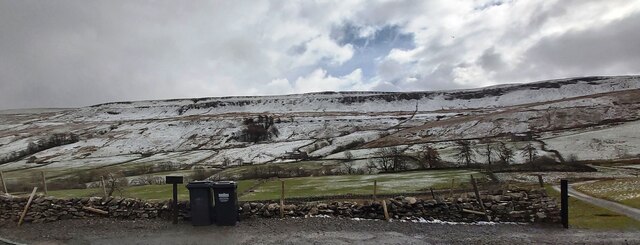
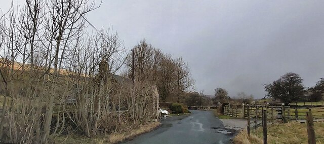
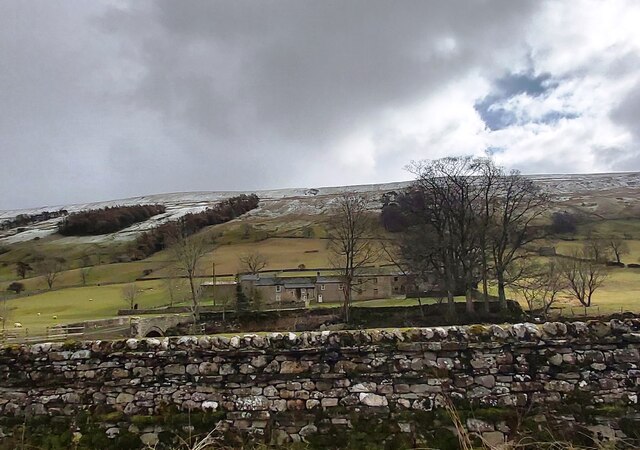
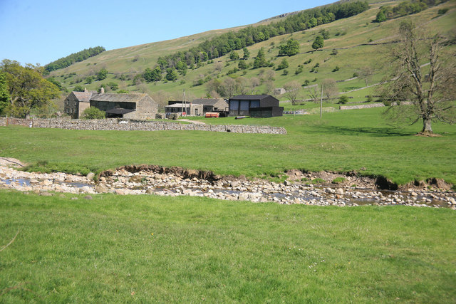
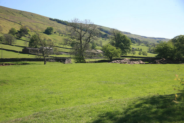
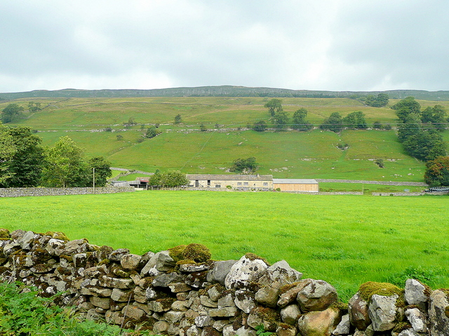
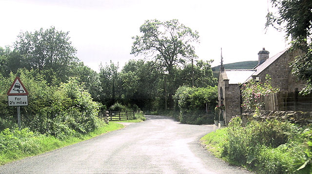
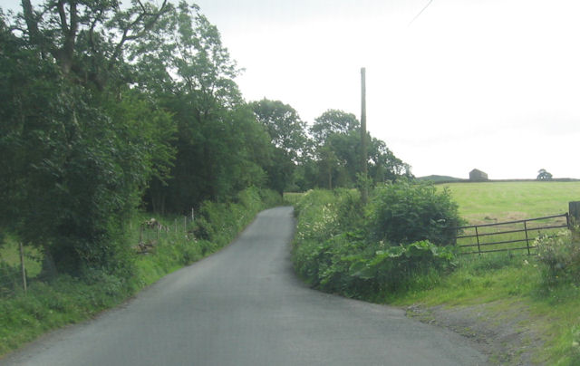
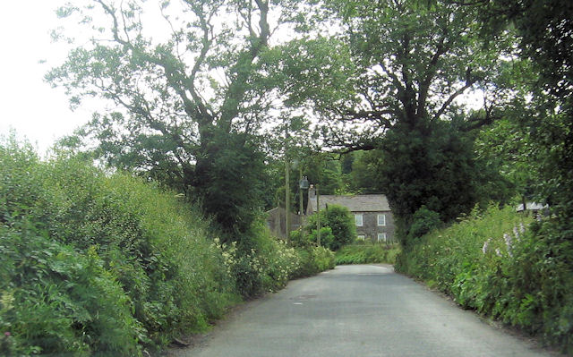
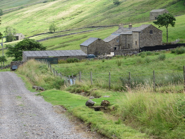
Smelter Plantation, located in Yorkshire, England, is a sprawling woodland area known for its dense forests and picturesque landscapes. Covering an approximate area of several hundred acres, this plantation is a haven for nature enthusiasts and outdoor adventurers.
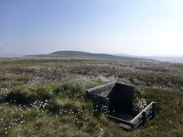
The woodland of Smelter Plantation consists mainly of deciduous trees such as oak, beech, and birch, creating a rich and diverse ecosystem. These trees provide a habitat for various wildlife species, including deer, foxes, and a wide variety of bird species, making it an ideal destination for birdwatchers and wildlife photographers.
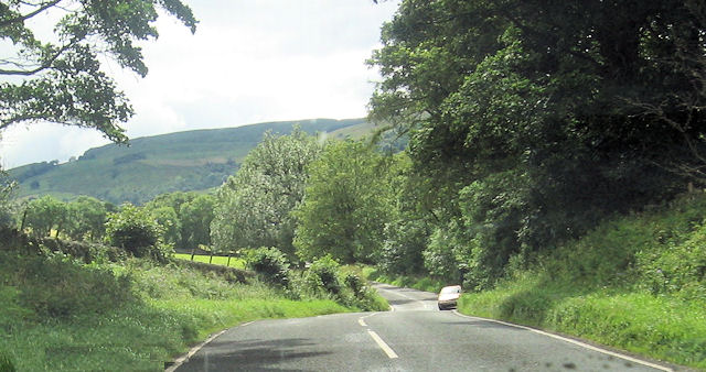
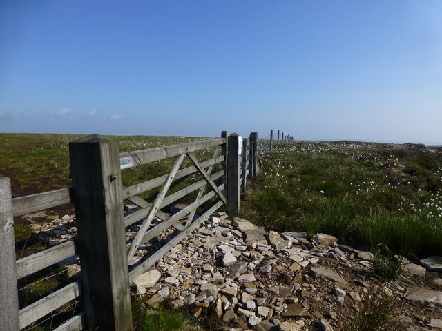
The plantation also features several well-maintained walking trails, allowing visitors to explore the natural beauty of the area. These trails wind through the woodland, meandering past serene streams and tranquil ponds. Along the way, visitors can spot wildflowers, ferns, and other flora that thrive in this lush environment.
Smelter Plantation is well-known for its vibrant autumn foliage, attracting visitors from far and wide to witness the stunning display of colors. During this time, the woodland is transformed into a kaleidoscope of red, orange, and gold, creating a breathtaking sight.
Aside from its natural beauty, the plantation also holds historical significance. In the past, it was home to a smelting plant that extracted metal from locally sourced ores. Although the plant is no longer in operation, remnants of its infrastructure can still be found, adding an intriguing touch of history to the area.
Overall, Smelter Plantation offers a captivating blend of natural wonders and historical charm, making it a cherished destination for those seeking a peaceful retreat in the heart of Yorkshire.
If you have any feedback on the listing, please let us know in the comments section below.
Smelter Plantation Images
Images are sourced within 2km of 54.23612/-2.0540618 or Grid Reference SD9682. Thanks to Geograph Open Source API. All images are credited.
Smelter Plantation is located at Grid Ref: SD9682 (Lat: 54.23612, Lng: -2.0540618)
Division: North Riding
Administrative County: North Yorkshire
District: Richmondshire
Police Authority: North Yorkshire
What 3 Words
///bibs.lateral.engrossed. Near Leyburn, North Yorkshire
Nearby Locations
Related Wikis

Bishopdale, North Yorkshire
Bishopdale is a dale in the Yorkshire Dales National Park in North Yorkshire, England. The dale is a side dale on the south side of Wensleydale, and extends...

Walden Head
Walden Head is a hamlet in the Yorkshire Dales, North Yorkshire. It lies 5 miles (8 km) of Aysgarth and to the north is a similar village Walden. The village...

Buckden Pike
Buckden Pike is a fell at the head of Wharfedale, a valley in the Yorkshire Dales, that stands above the village of Buckden, England. At 702 metres (2...

Cray, North Yorkshire
Cray is a hamlet on the B6160 road on a steep hill above Wharfedale in the Yorkshire Dales, North Yorkshire, England. It is near Buckden and the River...

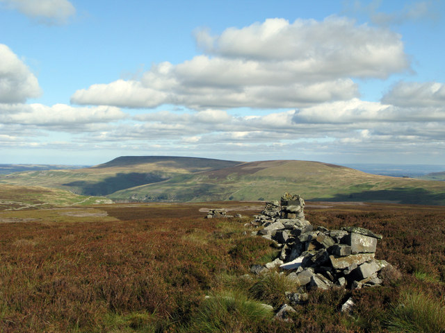
Yorkshire Dales
The Yorkshire Dales are an upland area of the Pennines in England. Most of the area is in the county of North Yorkshire, but it extends into Cumbria and...

Walden, North Yorkshire
Walden is a dale and hamlet in the Yorkshire Dales, North Yorkshire, England. The dale is a side dale of Wensleydale, sometimes known as Waldendale or...

Burton-cum-Walden
Burton-cum-Walden is a civil parish in North Yorkshire, England, in the Yorkshire Dales National Park. It had a population of 303 according to the 2011...

Newbiggin, south Wensleydale
Newbiggin is a village and civil parish in Bishopdale, a side dale on the south side of Wensleydale, in the Yorkshire Dales in North Yorkshire, England...
Nearby Amenities
Located within 500m of 54.23612,-2.0540618Have you been to Smelter Plantation?
Leave your review of Smelter Plantation below (or comments, questions and feedback).