Bar Gap Pasture
Downs, Moorland in Yorkshire
England
Bar Gap Pasture

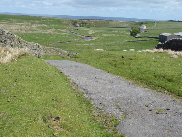
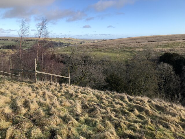
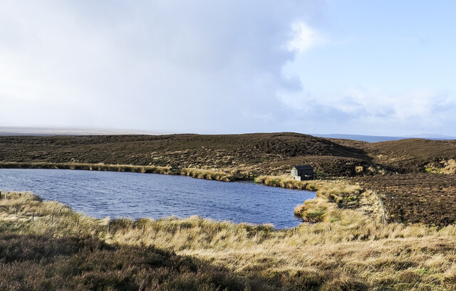
Bar Gap Pasture is a picturesque and expansive area located in the heart of Yorkshire, England. Nestled within the stunning landscape of the Yorkshire Downs and Moorland, it offers a unique and diverse natural environment for visitors to explore.
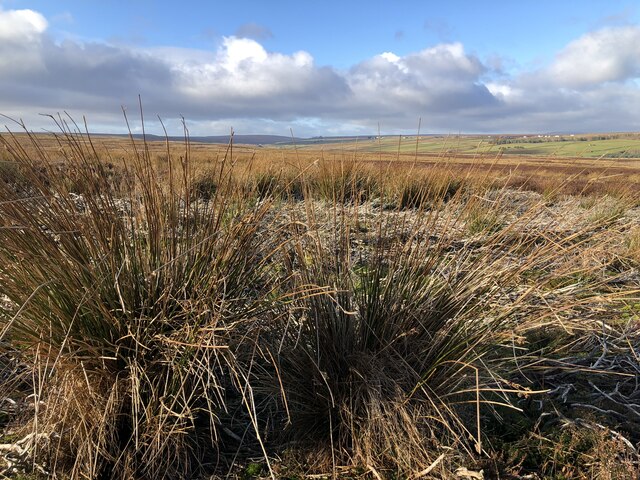
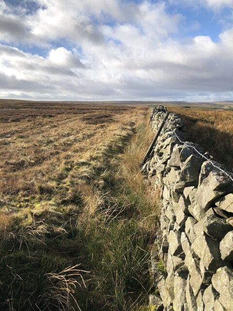
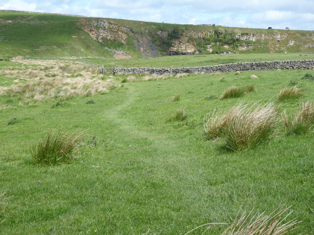
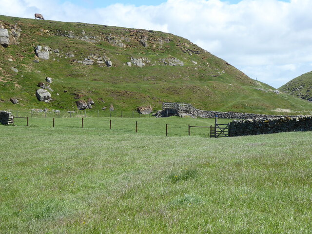
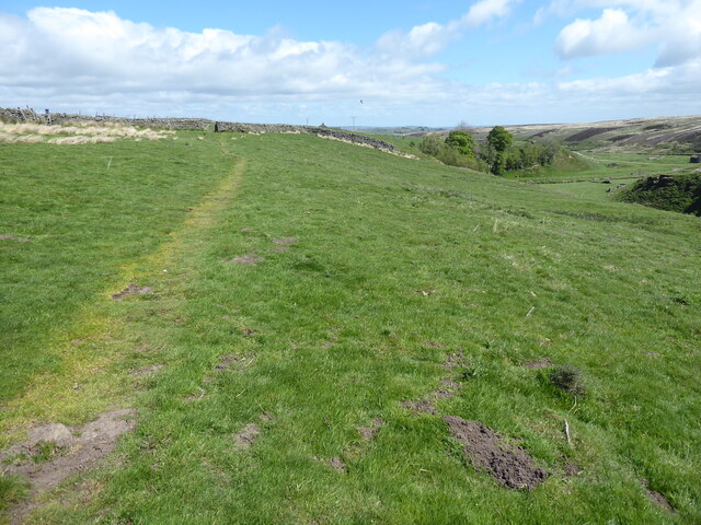
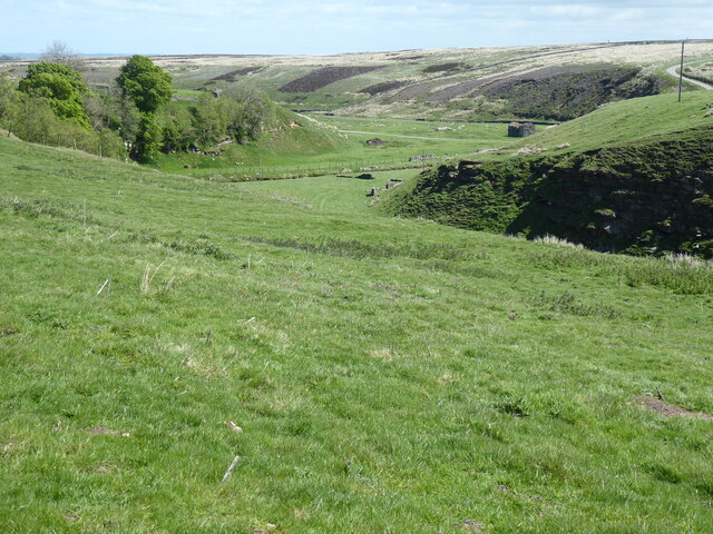
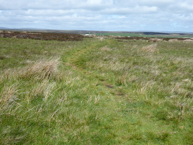
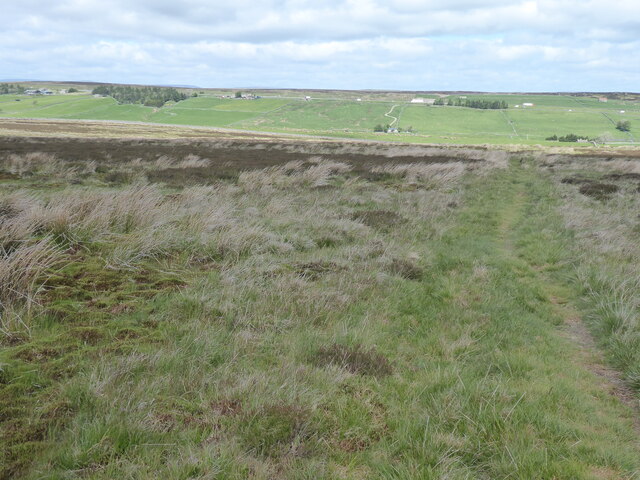
Covering a vast expanse of rolling hills and open fields, Bar Gap Pasture is renowned for its breathtaking beauty and tranquility. The area is characterized by its lush green meadows, dotted with vibrant wildflowers during the summer months, and its dramatic rocky outcrops that add a touch of ruggedness to the landscape.
The pasture is home to a rich variety of wildlife, including numerous bird species, such as skylarks and kestrels, which can often be seen soaring through the skies above. Visitors may also catch sight of rabbits, hares, and even the occasional deer, adding to the sense of natural abundance.
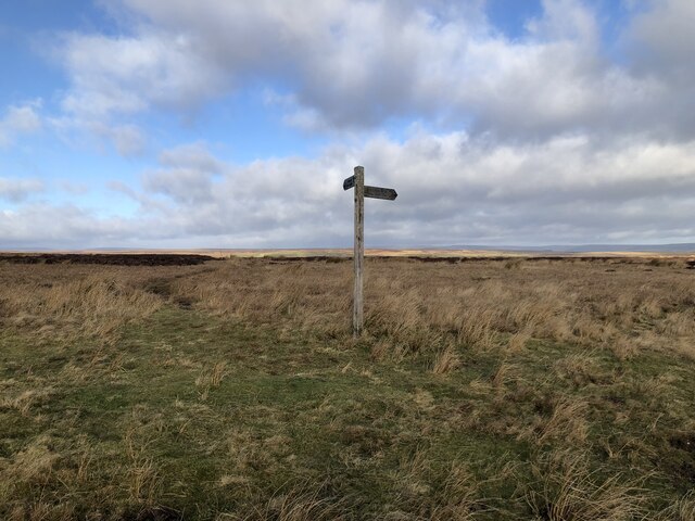
Hikers and nature enthusiasts are particularly drawn to Bar Gap Pasture due to its extensive network of walking trails, which wind their way through the stunning scenery. These trails provide an opportunity to not only witness the beauty of the landscape up close but also to discover the diverse flora and fauna that call this area home.
For those seeking a peaceful retreat, the area offers several secluded picnic spots, where visitors can relax and enjoy the breathtaking views in a tranquil setting. Additionally, Bar Gap Pasture is a popular spot for photography, as the ever-changing light and colors create a truly enchanting atmosphere.
Overall, Bar Gap Pasture in Yorkshire is a must-visit destination for nature lovers, offering a unique and captivating experience in the heart of the British countryside.
If you have any feedback on the listing, please let us know in the comments section below.
Bar Gap Pasture Images
Images are sourced within 2km of 54.492268/-2.0594182 or Grid Reference NY9610. Thanks to Geograph Open Source API. All images are credited.
Bar Gap Pasture is located at Grid Ref: NY9610 (Lat: 54.492268, Lng: -2.0594182)
Division: North Riding
Unitary Authority: County Durham
Police Authority: Durham
What 3 Words
///thrusters.exactly.using. Near Bowes, Co. Durham
Nearby Locations
Related Wikis

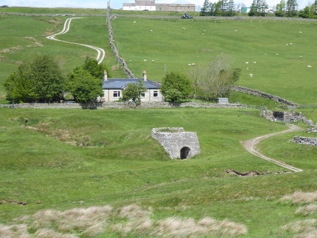
Sleightholme
Sleightholme is a secluded hamlet on a dead end road in County Durham, England. It lies beside Sleightholme Beck, a tributary of the River Greta. The...

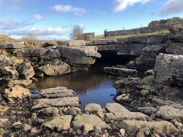
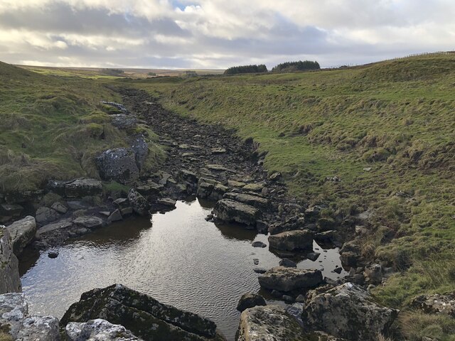
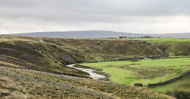
Sleightholme Beck Gorge – The Troughs
Sleightholme Beck Gorge – The Troughs is a Site of Special Scientific Interest in the County Durham district of south-west County Durham, England. The...
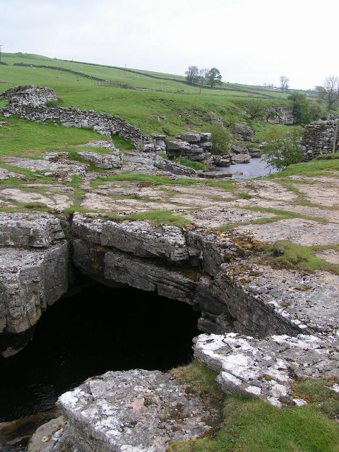
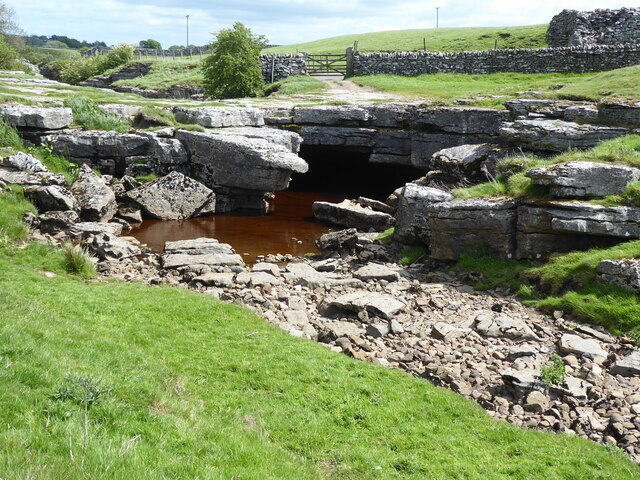
God's Bridge
God's Bridge is a Site of Special Scientific Interest in the County Durham district of south-west County Durham, England. It is a natural limestone bridge...

Bowes Moor
Bowes Moor is a Site of Special Scientific Interest in the County Durham district in south-west County Durham, England. It is an extensive area of moorland...
Nearby Amenities
Located within 500m of 54.492268,-2.0594182Have you been to Bar Gap Pasture?
Leave your review of Bar Gap Pasture below (or comments, questions and feedback).