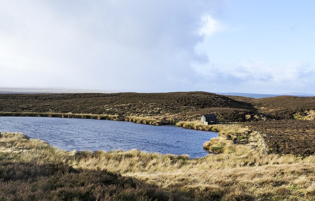
Seven Hills Tarn

Lake, Pool, Pond, Freshwater Marsh in Yorkshire

England

Seven Hills Tarn

North towards Citron Seat From the Gilmonby road, a bridleway heads south as a good track, and where it splits, the branch to Citron Seat (the small dark-topped hill right on centre in this view) continues very clear, though, like the southern branch, it ends very abruptly at no particularly obvious destination (just at a change of local authority administering the definitive rights of way map). The southern branch passes through this view just at the foot of the slope, though you'd hardly know it. Since it terminates abruptly at the boundary wall and fails to enter the Yorkshire Dales National park, its original destination is unclear, but somewhere in upper Arkengarthdale seems likely, perhaps joining the public footpath which also started life as a bridleway until it hit the National Park frontier. One suspects some severe laxity in recording the rights of way after the 1949 Countryside Act.
North towards Citron Seat Credit: Andy Waddington

The requested URL returned error: 429 Too Many Requests

If you have any feedback on the listing, please let us know in the comments section below.

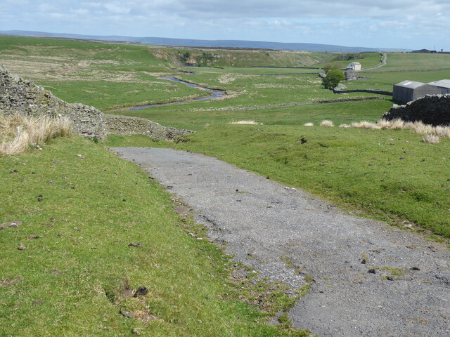
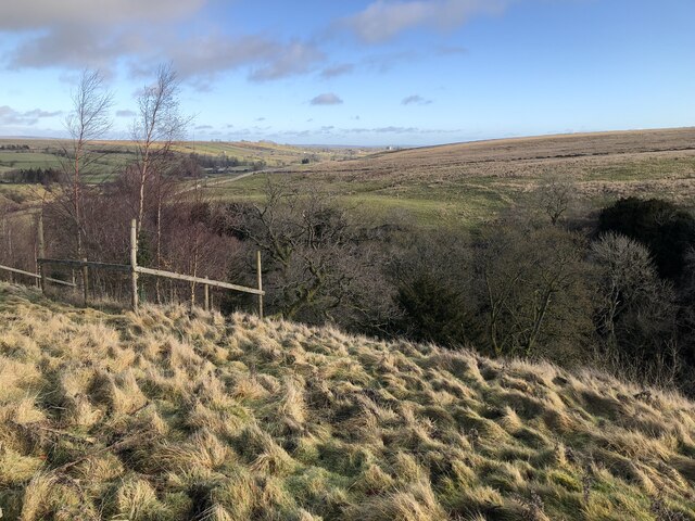
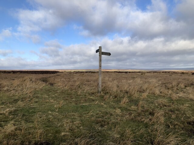
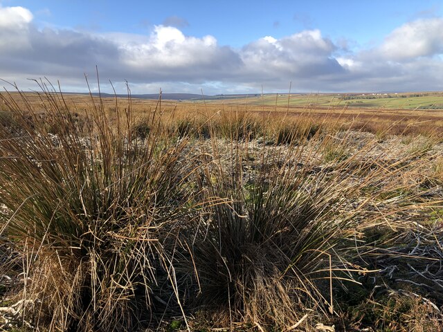
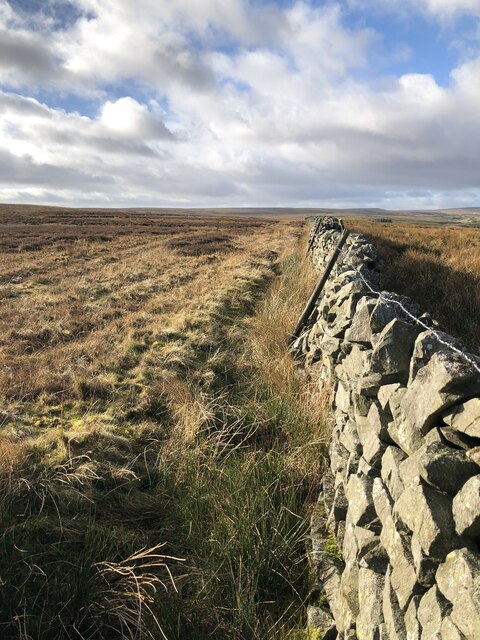
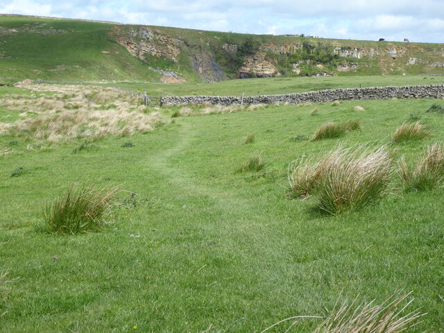
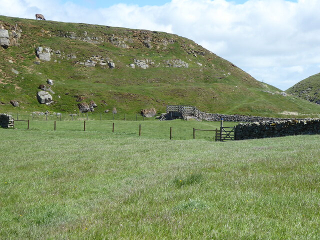
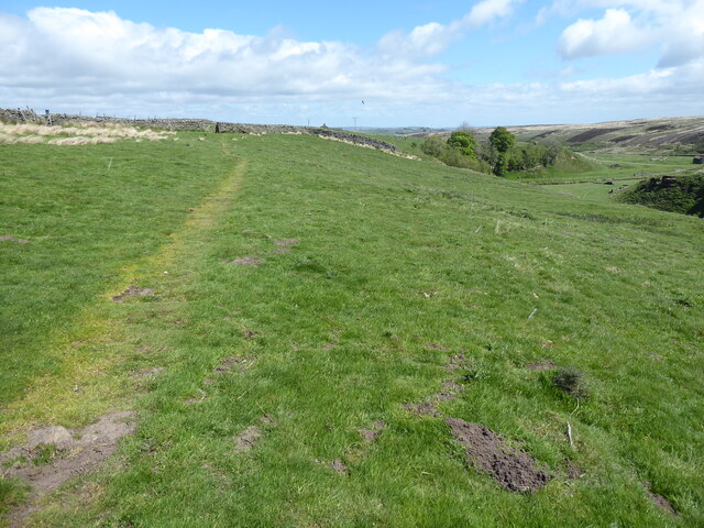
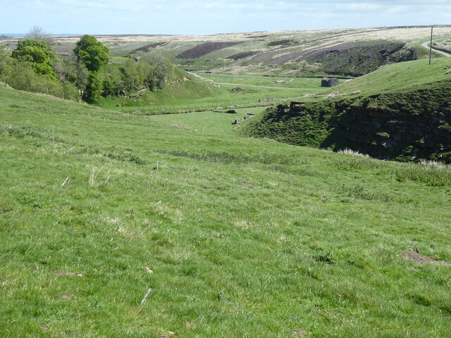
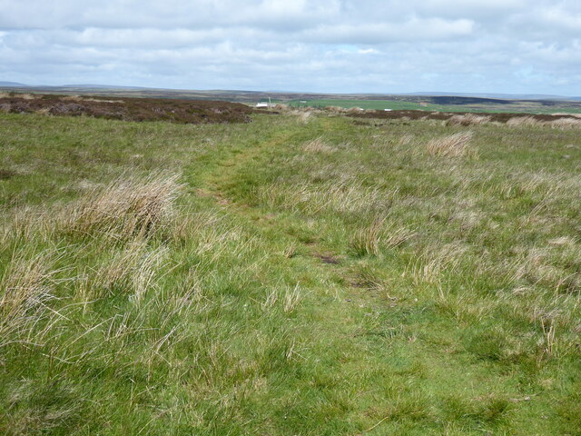
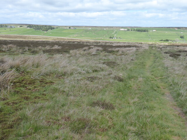
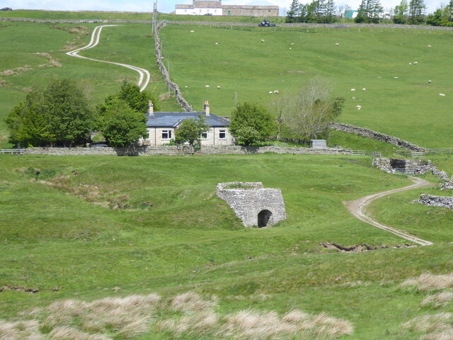
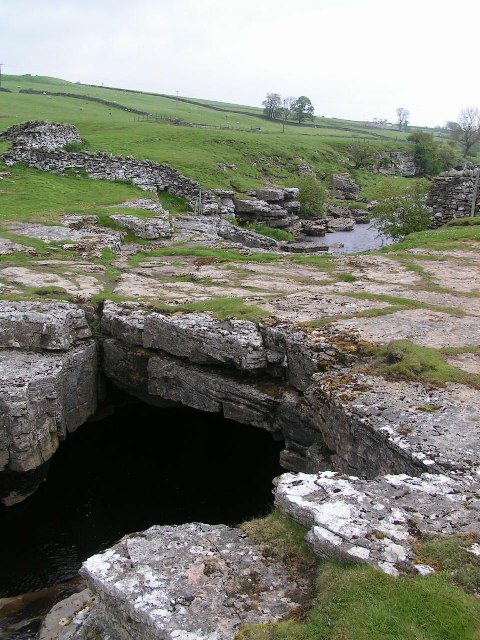
Seven Hills Tarn Images

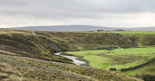
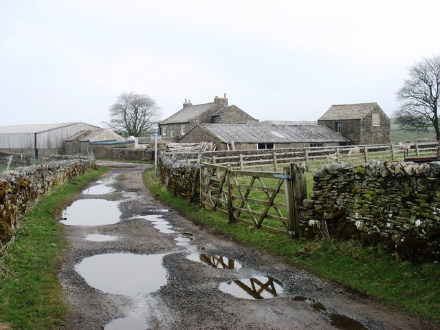
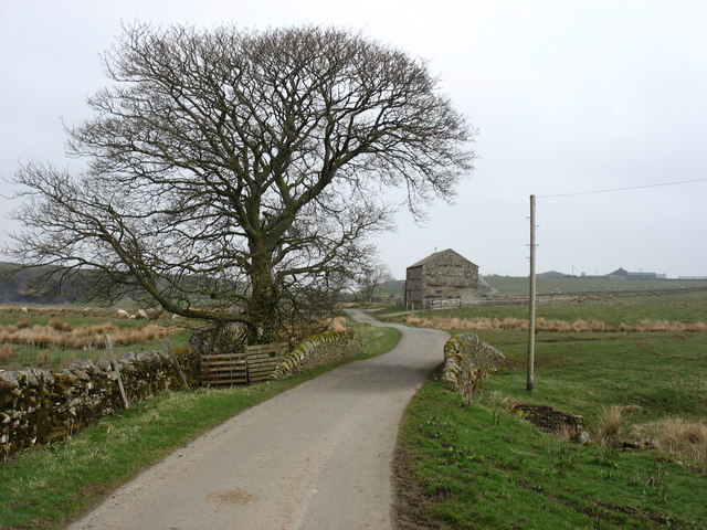
Images are sourced within 2km of 54.492523/-2.0511283 or Grid Reference NY9610. Thanks to Geograph Open Source API. All images are credited.

North towards Citron Seat From the Gilmonby road, a bridleway heads south as a good track, and where it splits, the branch to Citron Seat (the small dark-topped hill right on centre in this view) continues very clear, though, like the southern branch, it ends very abruptly at no particularly obvious destination (just at a change of local authority administering the definitive rights of way map). The southern branch passes through this view just at the foot of the slope, though you'd hardly know it. Since it terminates abruptly at the boundary wall and fails to enter the Yorkshire Dales National park, its original destination is unclear, but somewhere in upper Arkengarthdale seems likely, perhaps joining the public footpath which also started life as a bridleway until it hit the National Park frontier. One suspects some severe laxity in recording the rights of way after the 1949 Countryside Act.
North towards Citron Seat
From the Gilmonby road, a bridleway heads south as a good track, and where it splits, the branch to Citron Seat (the small dark-topped hill right on centre in this view) continues very clear, though, like the southern branch, it ends very abruptly at no particularly obvious destination (just at a change of local authority administering the definitive rights of way map). The southern branch passes through this view just at the foot of the slope, though you'd hardly know it. Since it terminates abruptly at the boundary wall and fails to enter the Yorkshire Dales National park, its original destination is unclear, but somewhere in upper Arkengarthdale seems likely, perhaps joining the public footpath which also started life as a bridleway until it hit the National Park frontier. One suspects some severe laxity in recording the rights of way after the 1949 Countryside Act.
The Pennine Way near Sleightholme Farm
View across The Trough Hidden in the bottom of the steep sided gorge is Sleightholme Beck.
View across The Trough
Hidden in the bottom of the steep sided gorge is Sleightholme Beck.
Footpath Signpost At Trough Heads The sign marks the junction of the direct Pennine Way route or the Bowes Loop alternate route.
Footpath Signpost At Trough Heads
The sign marks the junction of the direct Pennine Way route or the Bowes Loop alternate route.
Wytham Moor
Wytham Moor
Wytham Moor The dry stone wall marks the edge of the open access land on the moor.
Wytham Moor
The dry stone wall marks the edge of the open access land on the moor.
The Pennine Way near Jack Shields Bridge
The Pennine Way near Intake Bridge
The Pennine Way near Trough Heads
View from the Pennine Way near Trough Heads
The Pennine Way near Trough Heads
The Pennine Way near God's Bridge
Sleightholme Beck below Black Scar A bend of Sleightholme Beck which appears to be cutting into the rocks at Black Scar. The grassed area to the right is presumably the river's flood plain.
Bar Gap is the farm above the valley and the distant hill is Rogan's Seat.
Sleightholme Beck below Black Scar
A bend of Sleightholme Beck which appears to be cutting into the rocks at Black Scar. The grassed area to the right is presumably the river's flood plain. Bar Gap is the farm above the valley and the distant hill is Rogan's Seat.
Seven Hills Tarn Seven Hills Tarn sits among a group of heathery knolls known as Seven Hills which lie to the north-west of Citron Seat. A small shed is at the north side of the water; it's rather decrepit externally and worse inside. The shed has what must have been a landing stage for birds, probably doves or pigeons, a feature seen at similar buildings on a number of grouse moors.
Seven Hills Tarn
Seven Hills Tarn sits among a group of heathery knolls known as Seven Hills which lie to the north-west of Citron Seat. A small shed is at the north side of the water; it's rather decrepit externally and worse inside. The shed has what must have been a landing stage for birds, probably doves or pigeons, a feature seen at similar buildings on a number of grouse moors.
Citron Seat Citron Seat is a modest moorland hill with a distinctively pointed summit. The view is from the north-west, over a bog, across which runs a collapsing wooden fence.
Citron Seat
Citron Seat is a modest moorland hill with a distinctively pointed summit. The view is from the north-west, over a bog, across which runs a collapsing wooden fence.
Sleightholme Farm The Pennine Way passes along this track.
Sleightholme Farm
The Pennine Way passes along this track.
Kingdom Lodge, Sleightholme Bar Gap Farm is on the horizon to the right. The lane runs to Gilmonby and Bowes.
Kingdom Lodge, Sleightholme
Bar Gap Farm is on the horizon to the right. The lane runs to Gilmonby and Bowes.
Show me another place!

Seven Hills Tarn is located at Grid Ref: NY9610 (Lat: 54.492523, Lng: -2.0511283)

Division: North Riding

Unitary Authority: County Durham

Police Authority: Durham

What 3 Words

///notch.ditched.rummage. Near Bowes, Co. Durham

Related Wikis

Sleightholme Beck Gorge – The Troughs

Sleightholme Beck Gorge – The Troughs is a Site of Special Scientific Interest in the County Durham district of south-west County Durham, England. The...

Sleightholme

Sleightholme is a secluded hamlet on a dead end road in County Durham, England. It lies beside Sleightholme Beck, a tributary of the River Greta. The...

God's Bridge

God's Bridge is a Site of Special Scientific Interest in the County Durham district of south-west County Durham, England. It is a natural limestone bridge...

Bowes Castle

Bowes Castle is a medieval castle in the village of Bowes in County Durham, England. Built within the perimeter of the former Roman fort of Lavatrae, on...

Nearby Amenities

Located within 500m of 54.492523,-2.0511283
Seven Hills
Place: locality
Lat/Long: 54.4911125/-2.0539948
The data included in this document is from www.openstreetmap.org. The data is made available under ODbL.

Have you been to Seven Hills Tarn?

Leave your review of Seven Hills Tarn below (or comments, questions and feedback).