Miller's Moss
Downs, Moorland in Northumberland
England
Miller's Moss
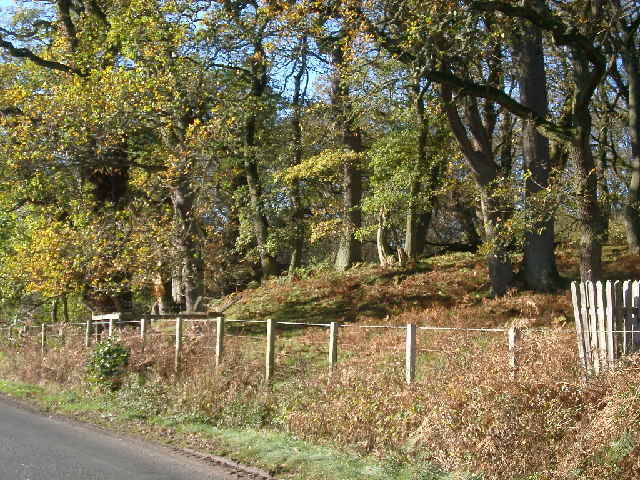
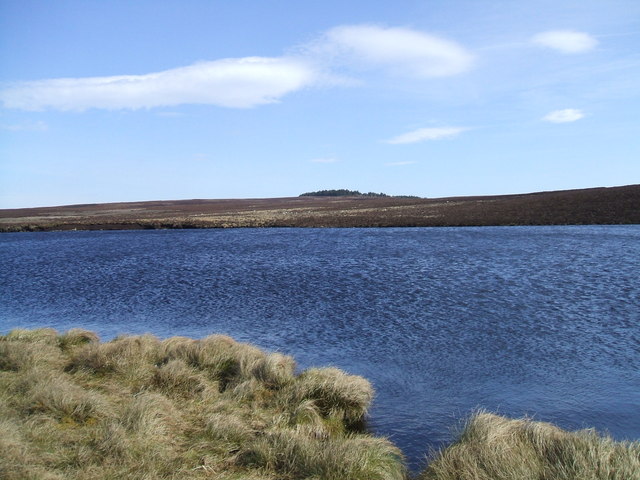
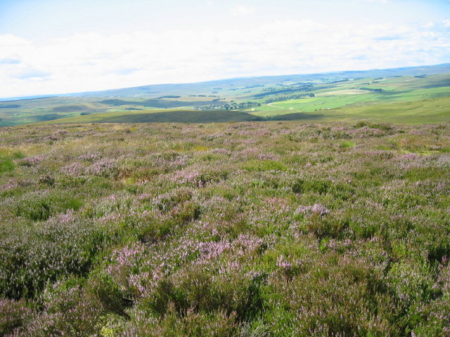
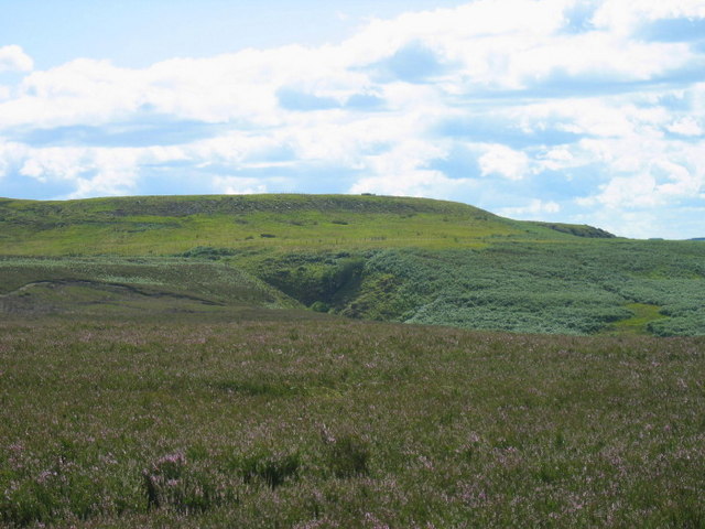
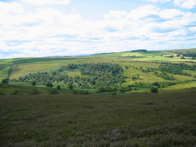
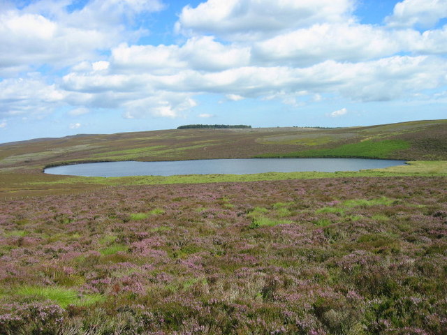
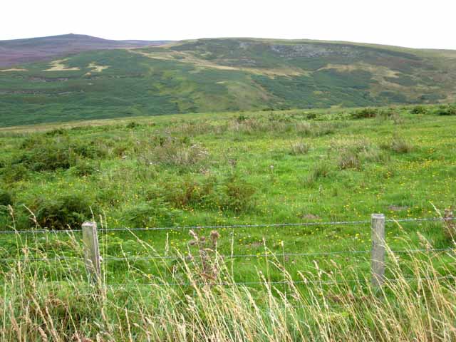
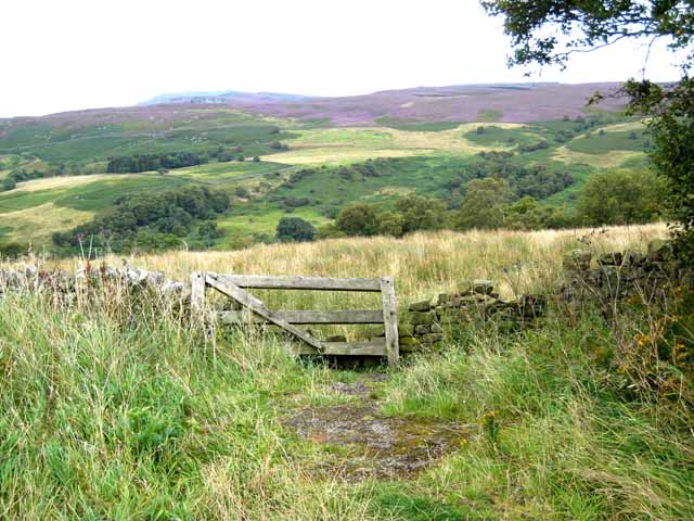
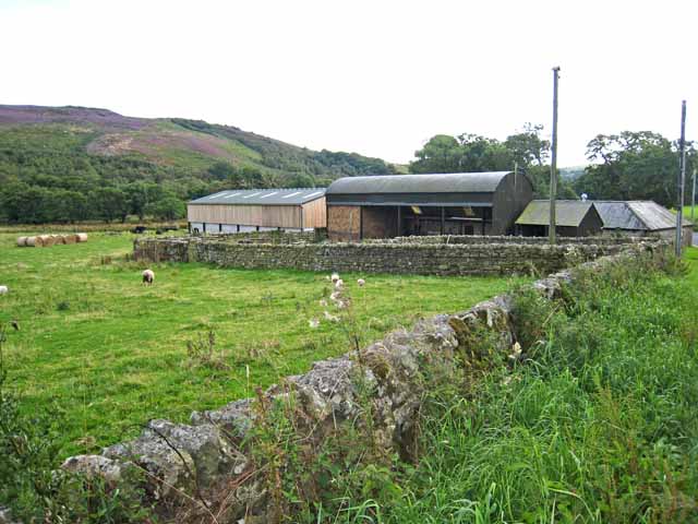
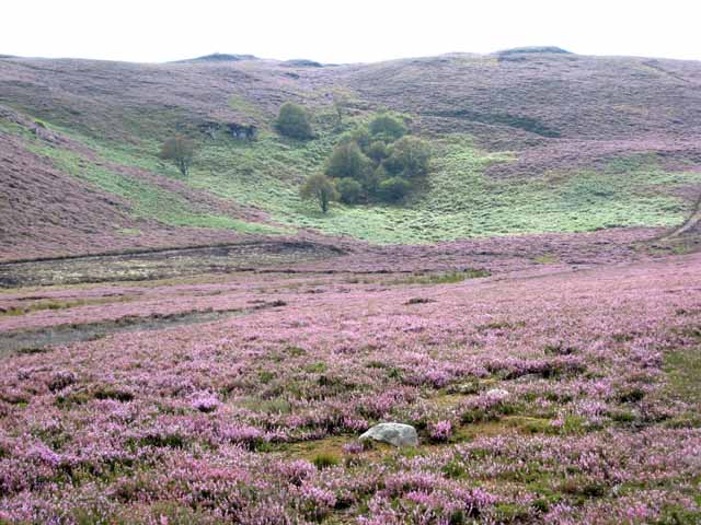
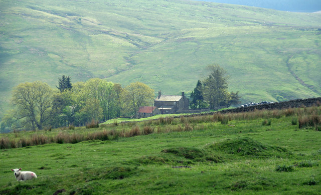
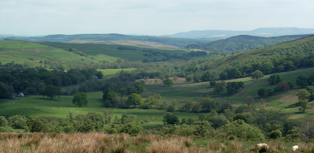
Miller's Moss is a vast expanse of moorland located in the county of Northumberland, England. Situated in the northern part of the county, it is part of the Northumberland National Park, renowned for its outstanding natural beauty and rich biodiversity. The moss is nestled amidst the breathtaking landscape of the Cheviot Hills, presenting a unique and serene environment for visitors to explore.
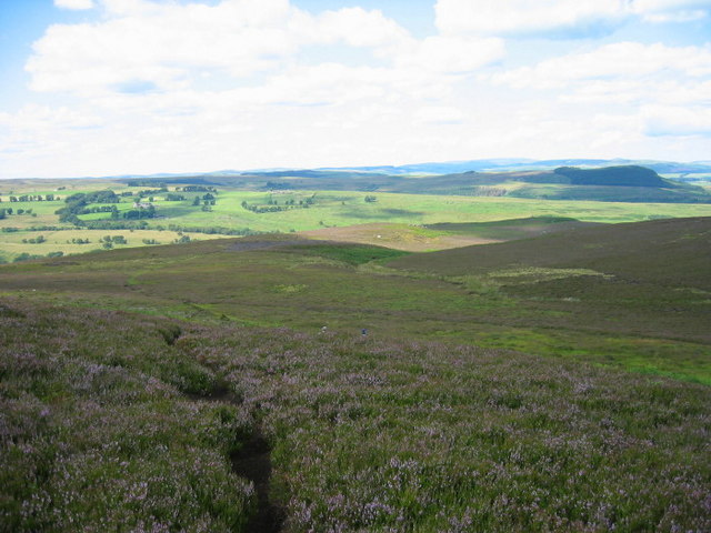
Covering an area of approximately 2,000 acres, Miller's Moss is characterized by its rolling hills, heather-covered slopes, and expansive open spaces. It is home to a diverse range of flora and fauna, making it a haven for nature enthusiasts and wildlife lovers. Visitors can expect to encounter a variety of bird species, including curlews, lapwings, and merlins, as well as numerous small mammals such as brown hares and red squirrels.
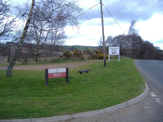
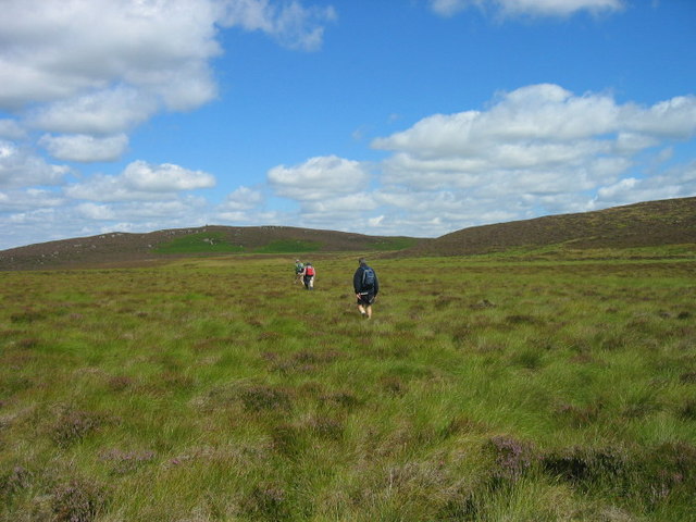
The moss is crisscrossed with a network of footpaths and trails, providing ample opportunities for hiking, walking, and cycling. The paths wind through the heather-clad terrain, offering panoramic views of the surrounding countryside and the chance to spot the occasional grazing sheep or wild pony.
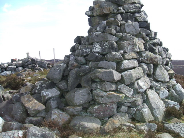
As a designated Area of Outstanding Natural Beauty, Miller's Moss is protected and preserved for future generations to enjoy. Its remote location and untouched landscapes make it an ideal destination for those seeking solitude and a connection with nature. Whether it's a leisurely stroll, an adventurous hike, or simply a moment of tranquility in the midst of stunning wilderness, Miller's Moss offers an unforgettable experience for all who venture into its unspoiled beauty.
If you have any feedback on the listing, please let us know in the comments section below.
Miller's Moss Images
Images are sourced within 2km of 55.259125/-2.0620253 or Grid Reference NY9696. Thanks to Geograph Open Source API. All images are credited.
Miller's Moss is located at Grid Ref: NY9696 (Lat: 55.259125, Lng: -2.0620253)
Unitary Authority: Northumberland
Police Authority: Northumbria
What 3 Words
///fulfilled.saucepan.marmalade. Near Otterburn, Northumberland
Nearby Locations
Related Wikis

Billsmoor Park and Grasslees Wood
Billsmoor Park and Grasslees Wood is the name given to a Site of Special Scientific Interest (SSSI) in Northumberland, North East England, designated in...
High Cove
High Cove is a major slip feature to the west of Grasslees Burn in the Simonside Hills, Northumberland, England. It contains several small rifts and caves...

Elsdon Castle
Elsdon Castle is a castle in the village of Elsdon about 10 miles (16 km) to the southwest of Rothbury, in Northumberland, England, and also known as Mote...

Elsdon Tower
Elsdon Tower is a Grade I listed medieval tower house converted for use as a Rectory situated at Elsdon, Northumberland. Originally part of the estate...
St Cuthbert's Church, Elsdon
St Cuthbert's Church is located in Elsdon, Alnwick, northeast England. The church was one of the resting places of St. Cuthbert's body in the wanderings...
Redesdale Studios
Redesdale Studios was a Northumberland recording studio founded in 1996. It was situated in Elsdon in North Northumberland. It began as a partnership between...

Elsdon, Northumberland
Elsdon is a village and civil parish in the English county of Northumberland about 10 miles (16 km) to the southwest of Rothbury. The name is derived from...

Harwood Forest
Harwood Forest is a 3,527 hectares (8,720 acres) conifer plantation located to the south of Rothbury in North Northumberland, England, and managed by Forestry...
Nearby Amenities
Located within 500m of 55.259125,-2.0620253Have you been to Miller's Moss?
Leave your review of Miller's Moss below (or comments, questions and feedback).