Tang Brink Flat
Downs, Moorland in Yorkshire
England
Tang Brink Flat

Tang Brink Flat, located in Yorkshire, is a picturesque area that encompasses both the Downs and Moorland landscapes. This region is renowned for its rich natural beauty, historical significance, and diverse flora and fauna.
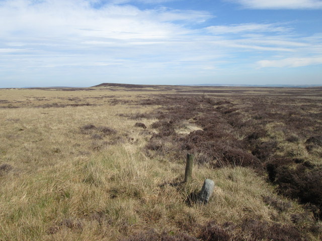
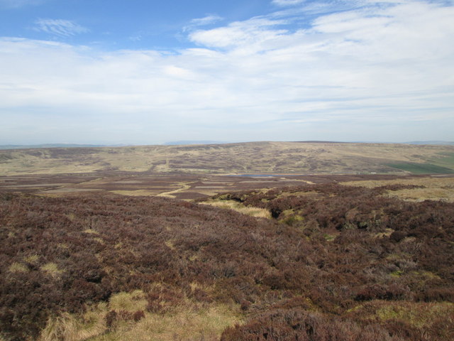
The Downs of Tang Brink Flat are characterized by their rolling hills and expansive grasslands. These open spaces provide spectacular views of the surrounding countryside, making it a popular destination for nature enthusiasts and hikers. The gentle slopes of the Downs also attract paragliders and kite flyers, taking advantage of the favorable wind conditions.
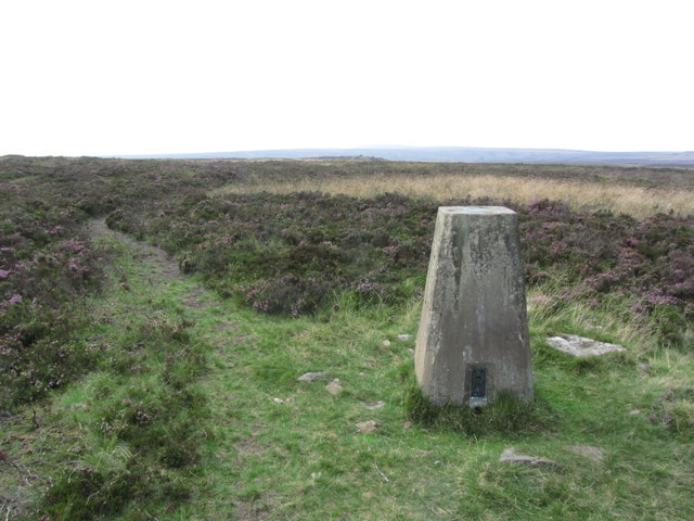
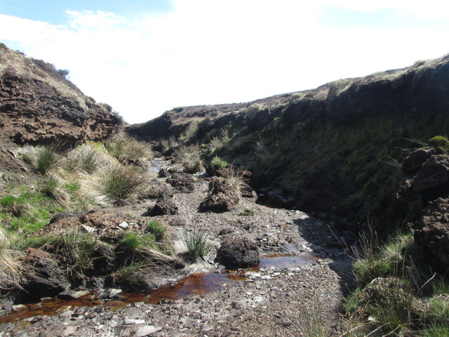
In contrast, the Moorland of Tang Brink Flat offers a distinct landscape with its heather-covered hills, vast expanses of open moors, and scattered rocky outcrops. This rugged terrain serves as a habitat for various wildlife species, including birds of prey, grouse, and other ground-nesting birds. Nature lovers can explore the moors through well-maintained footpaths, enjoying the tranquility and solitude that the area offers.
Tang Brink Flat is also rich in historical significance, with ancient archaeological sites scattered throughout the region. These include prehistoric burial mounds, standing stones, and remnants of Iron Age settlements. These remnants provide a glimpse into the area's past, captivating history enthusiasts and researchers alike.
Overall, Tang Brink Flat in Yorkshire offers a harmonious blend of natural beauty, cultural heritage, and outdoor recreational opportunities. Whether it's walking along the Downs, exploring the Moorland, or delving into its historical treasures, visitors are sure to find something captivating in this remarkable region.
If you have any feedback on the listing, please let us know in the comments section below.
Tang Brink Flat Images
Images are sourced within 2km of 53.817312/-2.0600954 or Grid Reference SD9635. Thanks to Geograph Open Source API. All images are credited.


Tang Brink Flat is located at Grid Ref: SD9635 (Lat: 53.817312, Lng: -2.0600954)
Division: West Riding
Unitary Authority: Calderdale
Police Authority: West Yorkshire
What 3 Words
///fond.outbursts.darling. Near Oxenhope, West Yorkshire
Nearby Locations
Related Wikis

Top Withens
Top Withens (SD981353) (also known as Top Withins) is a ruined farmhouse near Haworth, West Yorkshire, England, which is said to have been the inspiration...

Walshaw Dean Reservoirs
Walshaw Dean Reservoirs are three reservoirs situated above Hebden Bridge, West Yorkshire, England. They are between Hebden Bridge and Top Withins, a ruined...

Watersheddles Reservoir
Watersheddles Reservoir is an upland artificial lake in Lancashire, England. The reservoir was opened in 1877 by the Keighley Corporation Water Works,...

Boulsworth Hill
Boulsworth Hill is a large expanse of moorland, the highest point of the South Pennines of south-eastern Lancashire, England, separating the Borough of...

Ponden Hall
Ponden Hall is a farmhouse near Stanbury in West Yorkshire, England. It is famous for reputedly being the inspiration for Thrushcross Grange, the home...

Ponden Reservoir
Ponden Reservoir is an artificial upland lake in the Worth Valley, near Stanbury, West Yorkshire, England. Ponden was built as a compensation reservoir...

Scar Top
Scar Top is a farming hamlet near the tourist village of Haworth in the City of Bradford metropolitan borough, West Yorkshire in England. It is in the...

Blake Dean Railway
The Blake Dean Railway was an approximately 5.5 miles (9 km) long 3 ft (914 mm) gauge narrow gauge railway on the edge of Hardcastle Crags Valley in West...
Have you been to Tang Brink Flat?
Leave your review of Tang Brink Flat below (or comments, questions and feedback).