Hammerton Moss
Downs, Moorland in Cheshire
England
Hammerton Moss
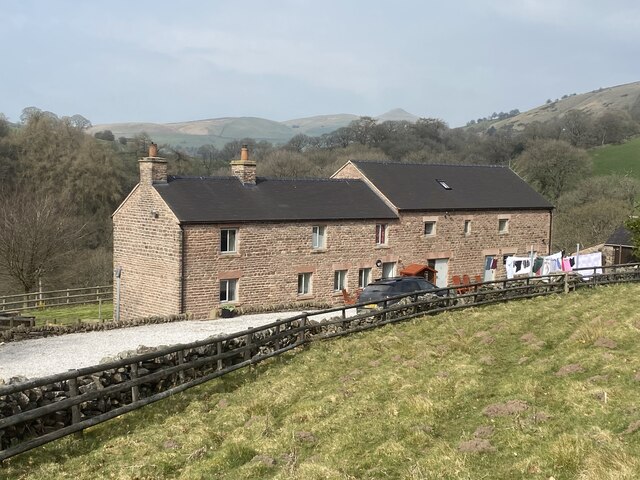
Hammerton Moss is a unique and picturesque area located in Cheshire, England. It is known for its diverse landscape, comprising of downs and moorland, creating a captivating blend of natural beauty and wildlife.
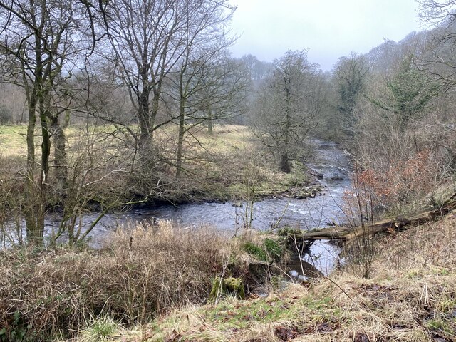
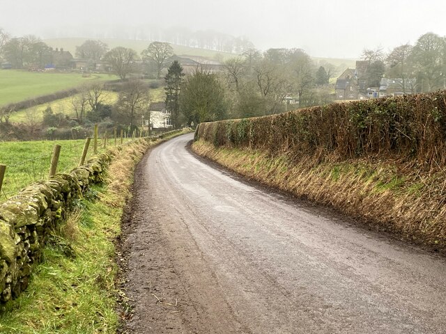
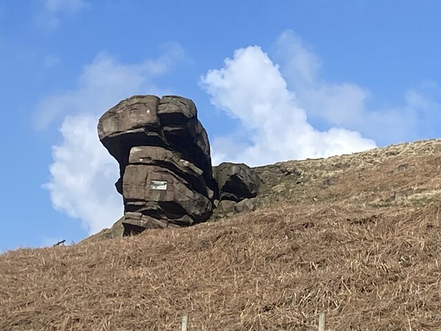
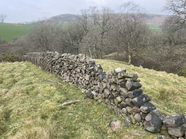
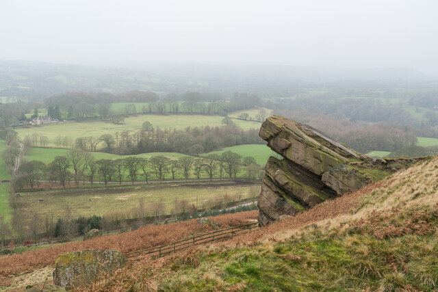
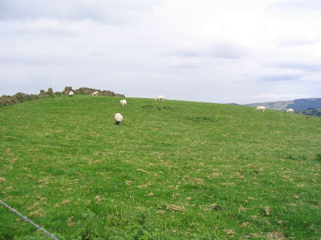
Situated in the heart of the Cheshire countryside, Hammerton Moss covers an extensive area of lush greenery and rolling hills. The downs, characterized by their gentle slopes and wide open spaces, provide a serene and peaceful ambiance, perfect for leisurely walks and picnics. The moorland, on the other hand, offers a more rugged terrain, with heather-covered hills and rocky outcrops, showcasing the area's wild and untamed side.
The moss boasts a rich and varied ecosystem, supporting a wide array of plant and animal species. Heather, bracken, and gorse are among the dominant plants found in the area, creating a colorful tapestry across the landscape. The moss is also home to numerous bird species, such as skylarks, meadow pipits, and curlews, making it a paradise for birdwatchers and nature enthusiasts.
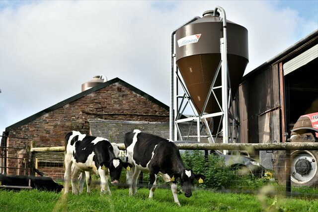
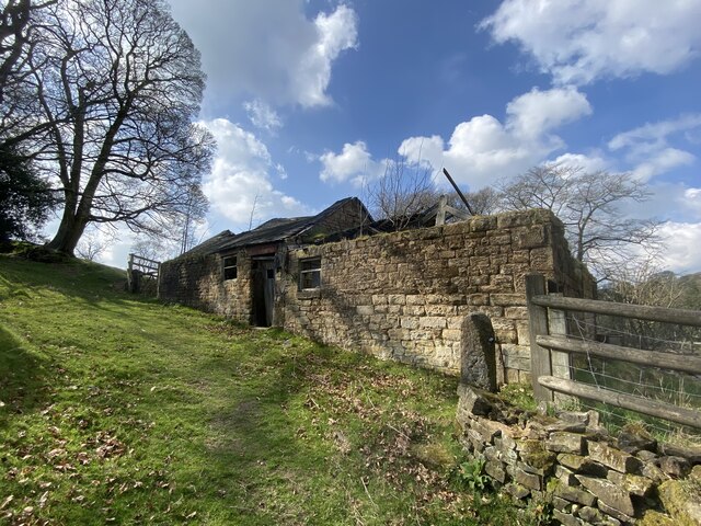
The historical significance of Hammerton Moss cannot be overlooked, as it has been used for centuries for various purposes. Its peat deposits were traditionally harvested for fuel, and remnants of old peat cutting can still be seen today. The moss also played a vital role in agriculture, providing grazing land for livestock.
Overall, Hammerton Moss is a captivating and diverse area, offering a tranquil escape from the hustle and bustle of urban life. Its unique blend of downs and moorland, coupled with its rich wildlife and historical importance, makes it a truly special place to explore and appreciate the wonders of nature.
If you have any feedback on the listing, please let us know in the comments section below.
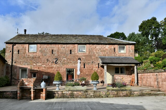
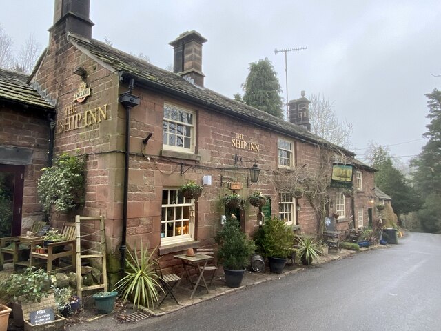
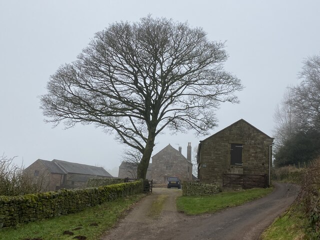
Hammerton Moss Images
Images are sourced within 2km of 53.198543/-2.0589533 or Grid Reference SJ9666. Thanks to Geograph Open Source API. All images are credited.


Hammerton Moss is located at Grid Ref: SJ9666 (Lat: 53.198543, Lng: -2.0589533)
Unitary Authority: Cheshire East
Police Authority: Cheshire
What 3 Words
///guitar.laminated.whisk. Near Macclesfield, Cheshire
Nearby Locations
Related Wikis

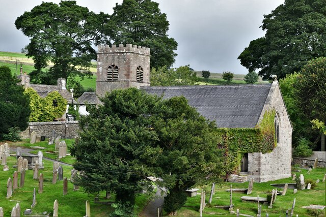
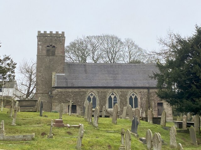
St Michael's Church, Wincle
St Michael's Church is in the village of Wincle, Cheshire, England. It is an active Anglican parish church in the diocese of Chester, the archdeaconry...
Wincle
Wincle is a village and civil parish in the Cheshire East district of Cheshire, England. It holds parish meetings, rather than parish council meetings...

Allgreave
Allgreave is a village in Cheshire, England. It lies on the A54 (Buxton to Congleton) road, near to the border with Staffordshire. Allgreave Methodist...

Bosley Minn
Bosley Minn is one of two names – the other being Wincle Minn – given to a prominent hill in southeast Cheshire and in the southwestern corner of the Peak...

Swythamley Hall
Swythamley Hall is a late 18th-century country house near Leek, Staffordshire which has been converted into four separate residences. It is a Grade II...

Lud's Church
Lud's Church (sometimes written as Ludchurch) is a deep chasm penetrating the Millstone Grit bedrock created by a massive landslip on the hillside above...

Silk 106.9
Cheshire's Silk Radio is an Independent Local Radio serving Macclesfield and parts of East Cheshire, owned and operated by neighbouring station Chester...

Croker Hill
Croker Hill stands just outside the western edge of the Peak District national park, overlooking Congleton in Cheshire. Near the summit stands the Sutton...
Nearby Amenities
Located within 500m of 53.198543,-2.0589533Have you been to Hammerton Moss?
Leave your review of Hammerton Moss below (or comments, questions and feedback).