Etal Moor

Downs, Moorland in Northumberland

England

Etal Moor

Rhodes Hill trig
Rhodes Hill trig Credit: Iain Macaulay

Etal Moor, located in the county of Northumberland, is a picturesque area characterized by its rolling downs and expansive moorland. Covering an approximate area of several square kilometers, this natural landscape offers visitors a unique opportunity to immerse themselves in the beauty of the Northumberland countryside.

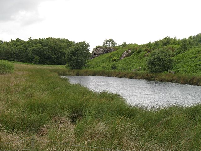
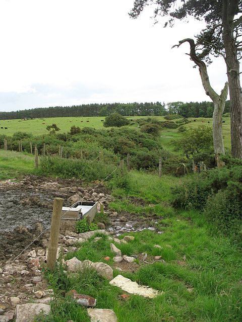
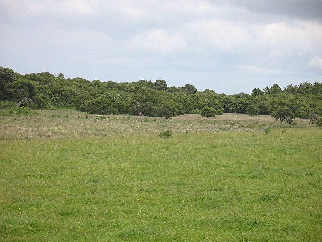
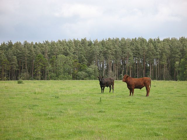
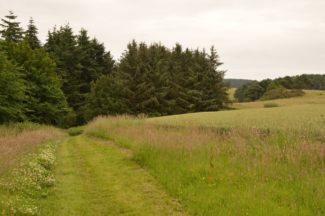
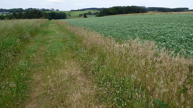
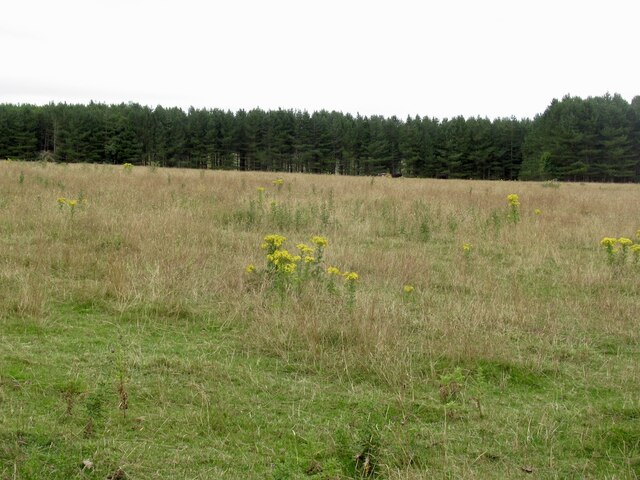
The moorland of Etal Moor is a vast expanse of open grassland, interspersed with heather and gorse bushes, creating a rich tapestry of colors throughout the year. This unique ecosystem supports a diverse range of plant and animal species, making it a haven for wildlife enthusiasts and nature lovers.

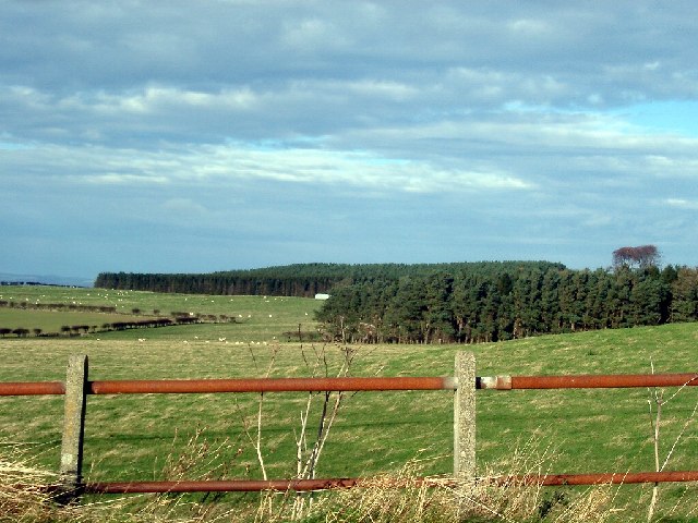
The downs of Etal Moor, on the other hand, are gently rolling hills that add to the charm of the landscape. These downs are covered in lush green grass, providing a perfect setting for leisurely walks and picnics while enjoying panoramic views of the surrounding countryside.

Etal Moor is also home to a number of historic landmarks and sites of interest. One such landmark is Etal Castle, a 14th-century fortress that stands as a testament to the region's medieval history. Visitors can explore the ruins of the castle, learning about its fascinating past and enjoying breathtaking views from its battlements.

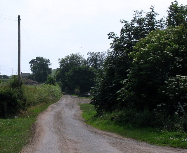
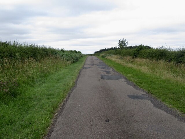
In addition to its natural and historical attractions, Etal Moor offers a range of outdoor activities. Walking and hiking trails crisscross the moorland, providing opportunities for adventurers to explore the area's hidden gems. The moor is also a popular spot for birdwatching, with several species of birds, including curlews and lapwings, making their home here.

Overall, Etal Moor in Northumberland is a captivating destination that combines natural beauty, historical significance, and outdoor activities, making it a must-visit location for those seeking a tranquil and enriching experience in the heart of the Northumberland countryside.

If you have any feedback on the listing, please let us know in the comments section below.
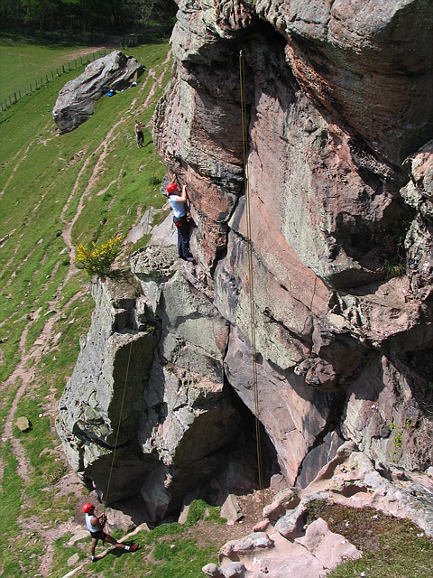
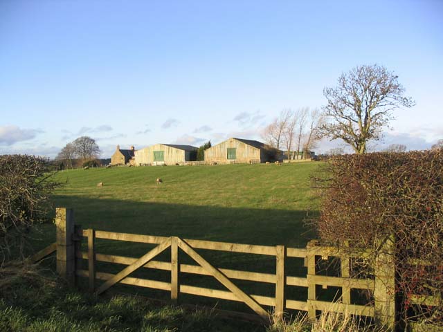
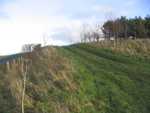
Etal Moor Images

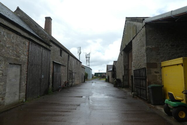
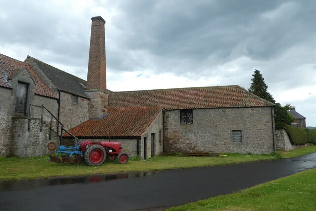
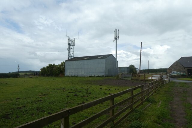
Images are sourced within 2km of 55.652412/-2.0750749 or Grid Reference NT9539. Thanks to Geograph Open Source API. All images are credited.

Rhodes Hill trig
Rhodes Hill trig
Climbing at Berry Hill Superb Northumberland sandstone provides great climbing in the area. The rock is weathered into strange flutings and arches - a friend said it's like climbing on a cathedral. The tracks below are from the sheep & cattle in the field
Climbing at Berry Hill
Superb Northumberland sandstone provides great climbing in the area. The rock is weathered into strange flutings and arches - a friend said it's like climbing on a cathedral. The tracks below are from the sheep & cattle in the field
Gatherick Farm
Gatherick Farm
Field track Connecting two fields at the end of a shelter belt.
Field track
Connecting two fields at the end of a shelter belt.
Berryhill Crag A south facing sandstone crag with some good climbing potential
Berryhill Crag
A south facing sandstone crag with some good climbing potential
Pond and crag, Etal Moor Fell sandstone outcrops.
Pond and crag, Etal Moor
Fell sandstone outcrops.
Fenced off path, Hazely Hill Fenced off area around a field, probably to enable cattle to be moved through a field without mixing. The field with the trough had cows and calves in it, and the background field contained approx. year old cattle.
Fenced off path, Hazely Hill
Fenced off area around a field, probably to enable cattle to be moved through a field without mixing. The field with the trough had cows and calves in it, and the background field contained approx. year old cattle.
Woodside Moor A mix of woodland and good grazing for cattle, not rough grazing as shown on the map.
Woodside Moor
A mix of woodland and good grazing for cattle, not rough grazing as shown on the map.
Cattle, Watchlaw Field between plantations. The cattle were very much on the nervous side of curiosity, and only when it was obvious that I was leaving along the bridleway did they do their usual cautious advancing trick that some folk find unnerving.
Cattle, Watchlaw
Field between plantations. The cattle were very much on the nervous side of curiosity, and only when it was obvious that I was leaving along the bridleway did they do their usual cautious advancing trick that some folk find unnerving.
Lane to Berryhill farm and crags
Public Footpath from Hay Farm to Etal Rhodes, Northumberland One of the well maintained public paths in the countryside on the Ford and Etal Estate, in north Northumberland, England.
Public Footpath from Hay Farm to Etal Rhodes, Northumberland
One of the well maintained public paths in the countryside on the Ford and Etal Estate, in north Northumberland, England.
Hay Farm Looking across the yard at Hay Farm which has a number of heavy horses.
Hay Farm
Looking across the yard at Hay Farm which has a number of heavy horses.
Tractor at Hay Farm Looking towards Hay Farm which is a Heavy Horse centre open to the public.
Tractor at Hay Farm
Looking towards Hay Farm which is a Heavy Horse centre open to the public.
Communications mast at Hay Farm Looking towards some mobile communications infrastructure above Ford.
Communications mast at Hay Farm
Looking towards some mobile communications infrastructure above Ford.
Footpath and a crop of peas
Ford Common Field during a very dry Summer.
Ford Common
Field during a very dry Summer.
Road on Ford Common
Road on Ford Common
Fields and Forests near Ford parts of Northcommon Plantation
Fields and Forests near Ford
parts of Northcommon Plantation
Show me another place!

Etal Moor is located at Grid Ref: NT9539 (Lat: 55.652412, Lng: -2.0750749)

Unitary Authority: Northumberland

Police Authority: Northumbria

What 3 Words

///landlady.shuttle.torched. Near Ford, Northumberland

Nearby Locations

Etal Moor Moornook Wood

Related Wikis

Nearby Amenities

Located within 500m of 55.652412,-2.0750749
Power: pole
Lat/Long: 55.6481537/-2.076808
Power: pole
Lat/Long: 55.648234/-2.0753513
Power: pole
Lat/Long: 55.6483119/-2.0740705
Power: pole
Lat/Long: 55.6483899/-2.0727939
Power: pole
Lat/Long: 55.6484584/-2.0715214
The data included in this document is from www.openstreetmap.org. The data is made available under ODbL.

Have you been to Etal Moor?

Leave your review of Etal Moor below (or comments, questions and feedback).