Moornook Wood

Wood, Forest in Northumberland

England

Moornook Wood

Rhodes Hill trig
Rhodes Hill trig Credit: Iain Macaulay

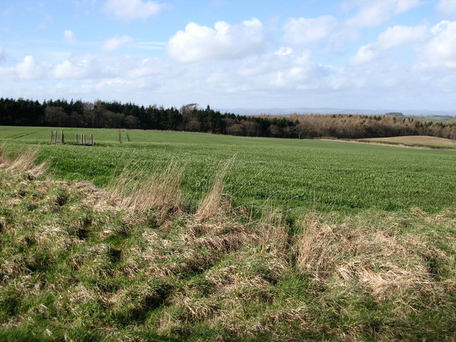
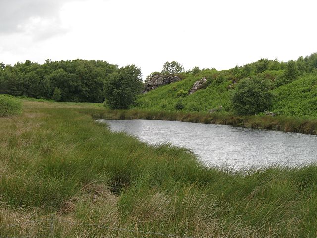
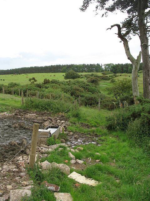
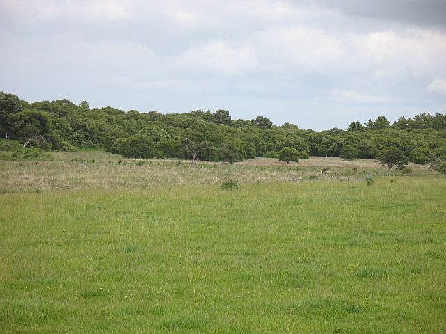
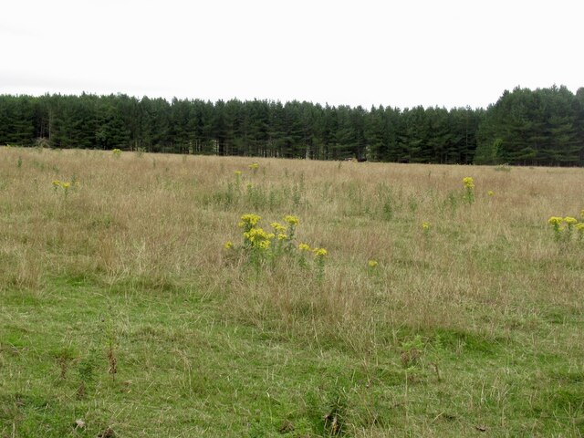
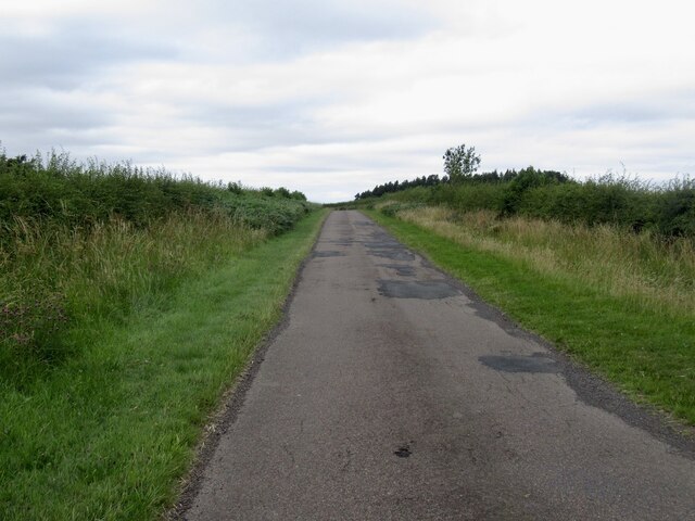
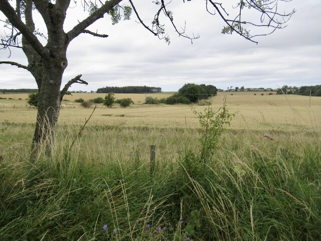
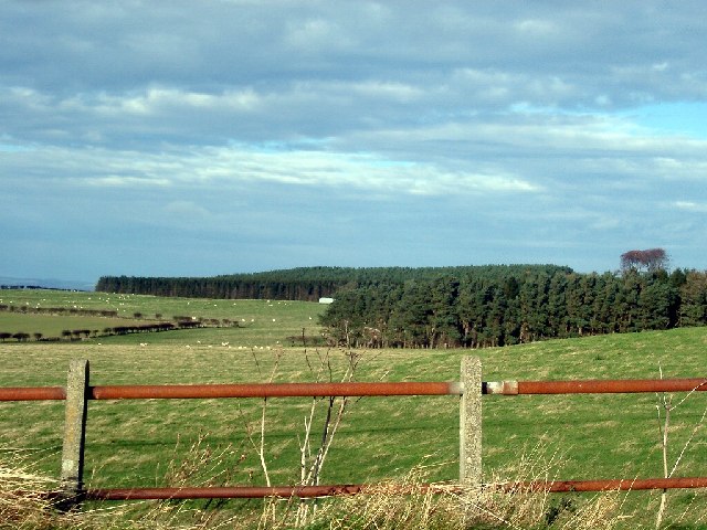
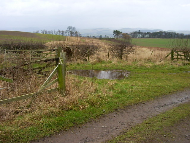
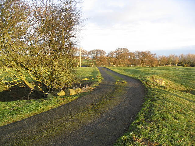
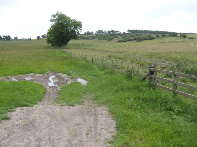
Moornook Wood is a picturesque forest located in Northumberland, England. Spanning over a vast area, this woodland is known for its diverse ecosystem, rich vegetation, and captivating wildlife. The wood is situated in a rural setting, surrounded by rolling hills and open moorland, creating a tranquil and serene atmosphere for visitors.

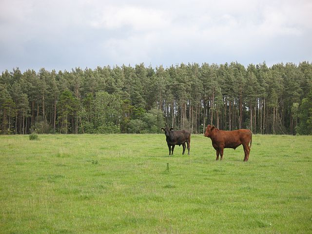
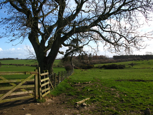
The wood is predominantly composed of native tree species, including oak, ash, and birch, which form a dense canopy overhead, providing shade and shelter for various animals and plants. The forest floor is covered with a thick layer of leaf litter, creating a natural habitat for a range of woodland creatures such as deer, squirrels, and badgers. Bird enthusiasts will be delighted by the abundance of species that call this woodland home, including woodpeckers, owls, and thrushes.

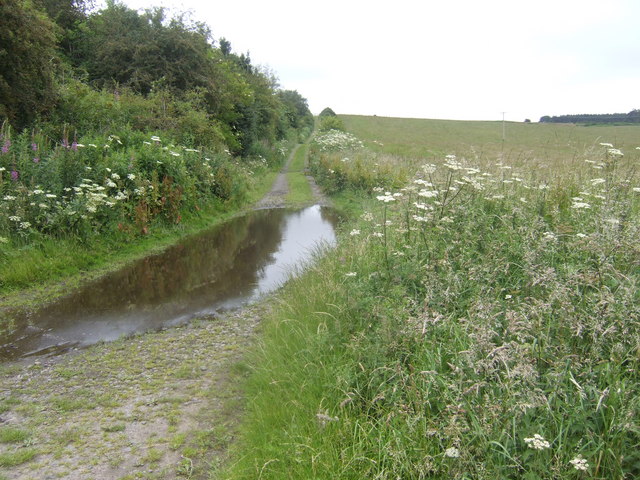
Moornook Wood offers several walking trails that allow visitors to explore the area and appreciate its natural beauty. These trails wind through the forest, passing by babbling brooks, ancient stone walls, and hidden clearings. The wood is particularly enchanting during the spring when the forest floor becomes carpeted with vibrant bluebells, creating a breathtaking sight.

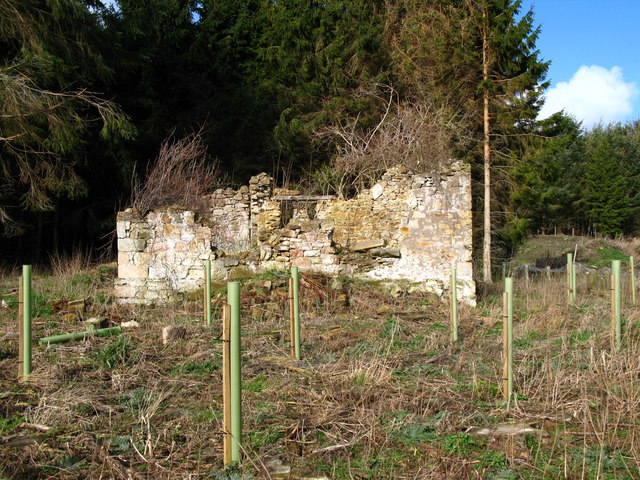
In addition to its natural wonders, Moornook Wood also boasts a rich historical significance. It is believed that the wood has been in existence for centuries and has witnessed the passage of time and the changes in the surrounding landscape.

Overall, Moornook Wood in Northumberland is a haven for nature lovers, offering a peaceful escape from the hustle and bustle of city life. Its stunning scenery, diverse flora and fauna, and historical charm make it a must-visit destination for anyone seeking solace in the beauty of nature.

If you have any feedback on the listing, please let us know in the comments section below.

Moornook Wood Images

Images are sourced within 2km of 55.651501/-2.0657453 or Grid Reference NT9539. Thanks to Geograph Open Source API. All images are credited.

Rhodes Hill trig
Rhodes Hill trig
Coal Harbour View over recently planted field towards Harbour Wood.
Coal Harbour
View over recently planted field towards Harbour Wood.
Bird Bath? In the field next to the garden of the one and only house at Coal Harbour.
Bird Bath?
In the field next to the garden of the one and only house at Coal Harbour.
Top up for the bird bath? On Brackenside Farm near Bowsden, Northumberland
Top up for the bird bath?
On Brackenside Farm near Bowsden, Northumberland
Pond and crag, Etal Moor Fell sandstone outcrops.
Pond and crag, Etal Moor
Fell sandstone outcrops.
Fenced off path, Hazely Hill Fenced off area around a field, probably to enable cattle to be moved through a field without mixing. The field with the trough had cows and calves in it, and the background field contained approx. year old cattle.
Fenced off path, Hazely Hill
Fenced off area around a field, probably to enable cattle to be moved through a field without mixing. The field with the trough had cows and calves in it, and the background field contained approx. year old cattle.
Woodside Moor A mix of woodland and good grazing for cattle, not rough grazing as shown on the map.
Woodside Moor
A mix of woodland and good grazing for cattle, not rough grazing as shown on the map.
Cattle, Watchlaw Field between plantations. The cattle were very much on the nervous side of curiosity, and only when it was obvious that I was leaving along the bridleway did they do their usual cautious advancing trick that some folk find unnerving.
Cattle, Watchlaw
Field between plantations. The cattle were very much on the nervous side of curiosity, and only when it was obvious that I was leaving along the bridleway did they do their usual cautious advancing trick that some folk find unnerving.
Ford Common Field during a very dry Summer.
Ford Common
Field during a very dry Summer.
Road on Ford Common
Road on Ford Common
Whitelee Moor
Whitelee Moor
Fields and Forests near Ford parts of Northcommon Plantation
Fields and Forests near Ford
parts of Northcommon Plantation
Farmland on Rhodes Hill Looking S from position
Farmland on Rhodes Hill
Looking S from position
Farm Road This road to Brackenside Farm is also a right of way route.
Farm Road
This road to Brackenside Farm is also a right of way route.
Ruin at Ford Common Ford Common Cottage, a more substantial cottage,was located nearby to this ruin. A Bronze Age burial mound was excavated on Ford Common in the 19th century and was found to contain three human cremations. Since then, Ford Common has been considerably quarried and no visible trace of the burial mound appears to have survived.
Ruin at Ford Common
Ford Common Cottage, a more substantial cottage,was located nearby to this ruin. A Bronze Age burial mound was excavated on Ford Common in the 19th century and was found to contain three human cremations. Since then, Ford Common has been considerably quarried and no visible trace of the burial mound appears to have survived.
Field boundary at Watchlaw Farm
Track to Etal Moor
Track to Etal Moor
View east of Slainsfield Looking towards Ford Common.
View east of Slainsfield
Looking towards Ford Common.
Show me another place!

Moornook Wood is located at Grid Ref: NT9539 (Lat: 55.651501, Lng: -2.0657453)

Unitary Authority: Northumberland

Police Authority: Northumbria

What 3 Words

///glimmers.pills.prettiest. Near Ford, Northumberland

Nearby Locations

Moornook Wood Etal Moor

Related Wikis

Lady Waterford Hall

Lady Waterford Hall is the former village school of the estate village of Ford, Northumberland. It is now used as the village hall and is a Grade II* listed...

Ford, Northumberland

Ford is a small village and civil parish in Northumberland, England, about 13 miles (21 km) from Berwick-upon-Tweed. The parish also includes Etal. �...

Ford Castle

Ford Castle is a Grade I listed building situated at a shallow crossing point on the River Till, Ford, Northumberland, England. The castle dates from about...

Heatherslaw Mill

Heatherslaw Mill is a water mill situated on the Ford and Etal Estate, 7 miles north of the town of Wooler in the English county of Northumberland. It...

Ford Forge

Ford Forge (Ford Mill), Northumberland, England is located on the River Till between the villages of Ford and Etal. Buildings housing a water-powered forge...

Etal, Northumberland

Etal ( EE-təl) is a small village in the far north of the county of Northumberland, England, in the civil parish of Ford. It lies on a bridging point of...

Etal Castle

Etal Castle is a ruined medieval fortification in the village of Etal, Northumberland, England. It was built around 1341 by Robert Manners, and comprised...

Duddo Tower

Duddo Tower is a Scheduled Ancient Monument and a Grade II listed building comprising the ruinous remains of an ancient pele tower and 16th century tower...

Nearby Amenities

Located within 500m of 55.651501,-2.0657453
Power: pole
Lat/Long: 55.6484584/-2.0715214
Power: pole
Lat/Long: 55.6485387/-2.0699434
Power: pole
Lat/Long: 55.6486355/-2.0683696
Power: pole
Lat/Long: 55.6487683/-2.0670418
Power: pole
Lat/Long: 55.6489123/-2.0656187
Power: pole
Lat/Long: 55.6490492/-2.0641742
Power: pole
Lat/Long: 55.6491685/-2.0628976
Power: pole
Lat/Long: 55.6491904/-2.0599546
Power: pole
Lat/Long: 55.6493073/-2.0615758
Power: pole
Lat/Long: 55.6493941/-2.0606139
Watchlaw
Place: hamlet
Lat/Long: 55.6497675/-2.0606491
The data included in this document is from www.openstreetmap.org. The data is made available under ODbL.

Have you been to Moornook Wood?

Leave your review of Moornook Wood below (or comments, questions and feedback).