College Plantation
Wood, Forest in Gloucestershire Cotswold
England
College Plantation
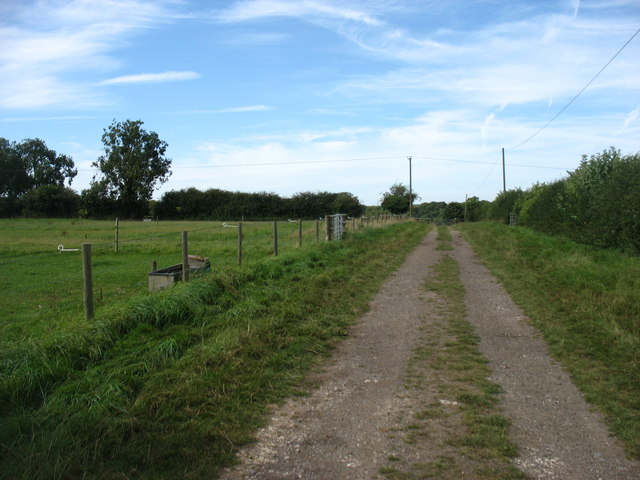
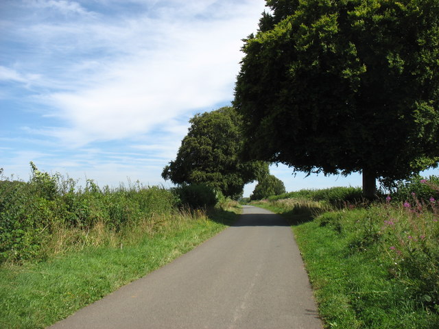
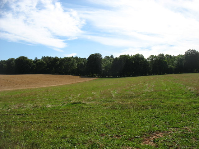
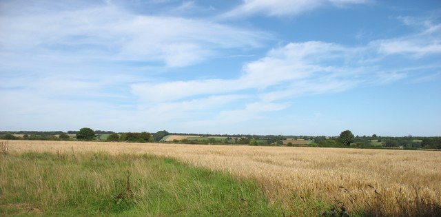
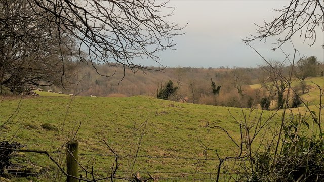
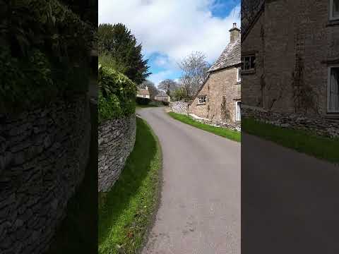
College Plantation is a scenic woodland located in Gloucestershire, England. Situated in the heart of the Forest of Dean, the plantation covers an area of approximately 200 acres and is known for its diverse flora and fauna.
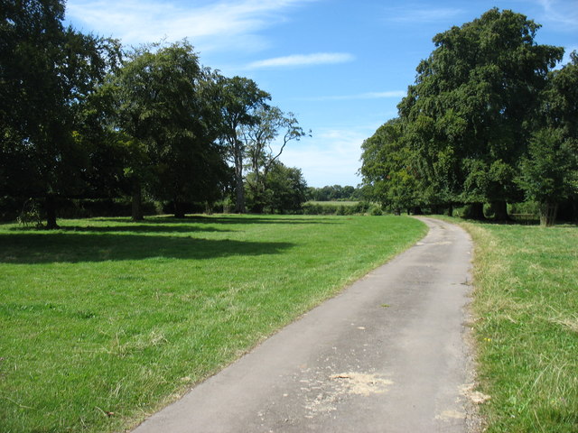
The woodland is predominantly composed of broadleaf trees such as oak, beech, and ash, which create a dense canopy and provide a habitat for a wide range of wildlife. The forest floor is covered with a lush carpet of ferns, bluebells, and wildflowers, creating a picturesque and serene environment.
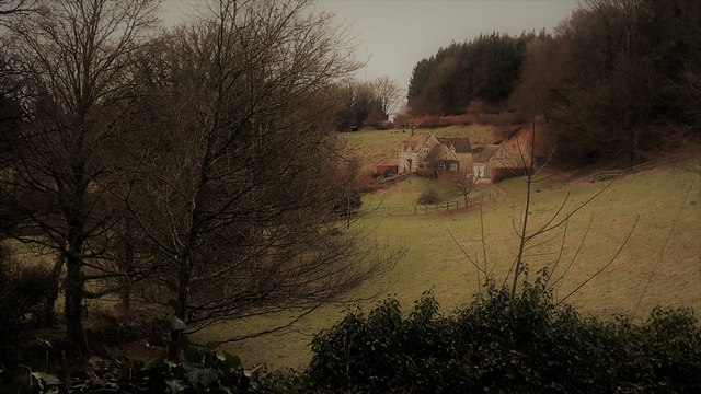
College Plantation is a popular destination for nature enthusiasts, hikers, and birdwatchers. The woodland is home to various bird species, including woodpeckers, nightingales, and tawny owls, making it a haven for bird lovers. The plantation also serves as a habitat for mammals such as deer, foxes, and badgers, adding to its ecological significance.
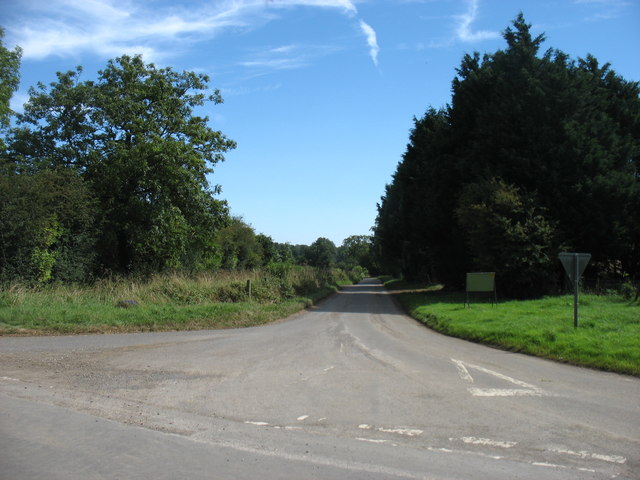
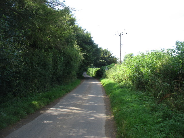
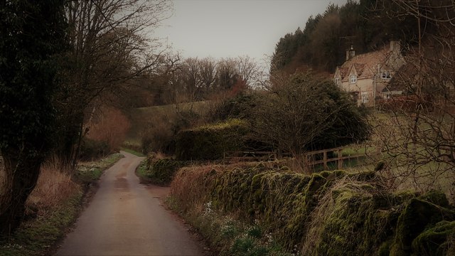
The woodland offers a network of well-maintained trails and footpaths, allowing visitors to explore its beauty on foot or by bicycle. There are also designated picnic areas and viewpoints where visitors can relax and enjoy the tranquil surroundings.
College Plantation holds historical significance as well. The name "College" is believed to originate from a nearby medieval hunting lodge that was used by the College of Westbury-on-Severn. The area has witnessed human activity for centuries, and remnants of ancient stone walls and boundary markers can still be found within the woodland.
Overall, College Plantation is a charming woodland that offers a retreat from the hustle and bustle of everyday life. Its natural beauty, diverse wildlife, and historical significance make it a beloved destination for both locals and tourists alike.
If you have any feedback on the listing, please let us know in the comments section below.
College Plantation Images
Images are sourced within 2km of 51.752434/-2.0598536 or Grid Reference SO9505. Thanks to Geograph Open Source API. All images are credited.

College Plantation is located at Grid Ref: SO9505 (Lat: 51.752434, Lng: -2.0598536)
Administrative County: Gloucestershire
District: Cotswold
Police Authority: Gloucestershire
What 3 Words
///reckon.resolved.generally. Near Coates, Gloucestershire
Nearby Locations
Related Wikis

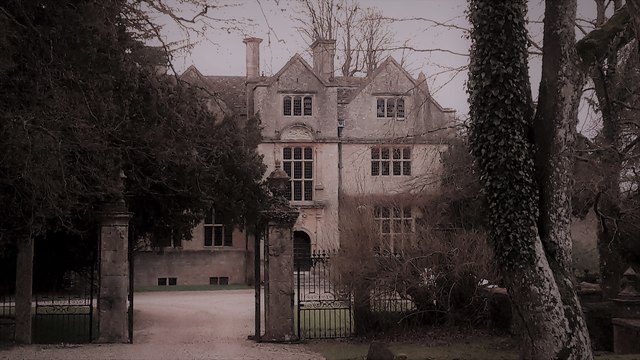
Edgeworth Manor
Edgeworth Manor is a Grade II* listed country house in Edgeworth, Gloucestershire, England. It was mentioned in the Domesday Book, when it was held by...

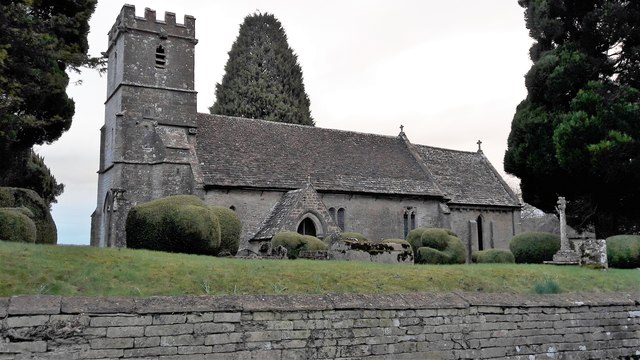
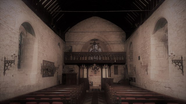
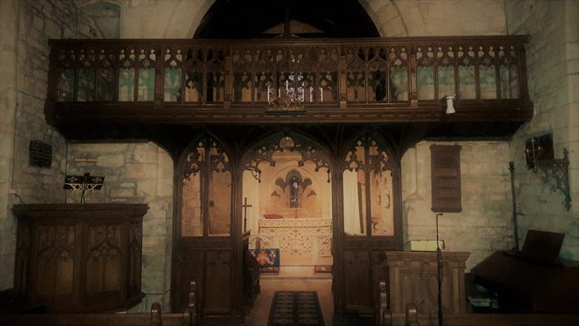
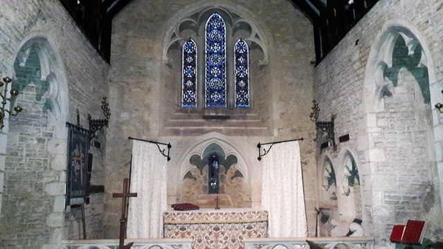
Church of St Mary, Edgeworth
The Anglican Church of St Mary at Edgeworth in the Cotswold District of Gloucestershire, England was built in 11th century. It is a grade I listed building...

Edgeworth, Gloucestershire
Edgeworth is a small village and civil parish in the English county of Gloucestershire. It is located east of Stroud, west of Cirencester and south of...
Duntisbourne Abbots
Duntisbourne Abbots is a village and civil parish located in the English county of Gloucestershire. Duntisbourne Abbots forms part of the Cotswold District...
Duntisbourne Leer
Duntisbourne Leer is a hamlet in the county of Gloucestershire, and lies within the Cotswolds, a range of hills designated an Area of Outstanding Natural...
Davenport House, Duntisbourne Abbots
Davenport House is an historic building in the English village of Duntisbourne Abbots, Gloucestershire. Located on the eastern side of the village, it...

Duntisbourne Rouse
Duntisbourne Rouse is a village and civil parish in Gloucestershire, England. It lies in the Cotswolds, an Area of Outstanding Natural Beauty. At the...

St Michael's Church, Duntisbourne Rouse
St Michael's Church is an Anglican church in the Cotswold village of Duntisbourne Rouse, Gloucestershire, England. It dates from no later than the 11th...
Related Videos
A Blissfully Slow & Relaxing Early Morning Walk in a Cotswold Village
So, today we are out and about in the Cotswold village of Duntisbourne Abbotts, which is located in the county of Gloucestershire ...

An Atmospheric & Moody Slow Walk at First Light in a Cotswold Hamlet
So, today we are out and about walking in the Cotswold hamlet of Duntisbourne Leer which is located in the county of ...

Duntisbourne Abbots - COTSWOLDS Village - Morning Walk - 4K
Join us on a peaceful morning walk through the stunning Cotswolds village of Duntisbourne Abbots, a traditional English village in ...
Duntisbourne Abbots - Traditional COTSWOLD Village #worldwidewalks #england #duntisbourneabbots
Duntisbourne Abbots is a traditional English village in the Cotswolds, an area known for its beautiful scenery and historic villages.
Nearby Amenities
Located within 500m of 51.752434,-2.0598536Have you been to College Plantation?
Leave your review of College Plantation below (or comments, questions and feedback).