Slainsfield Moor

Downs, Moorland in Northumberland

England

Slainsfield Moor

Rhodes Hill trig
Rhodes Hill trig Credit: Iain Macaulay

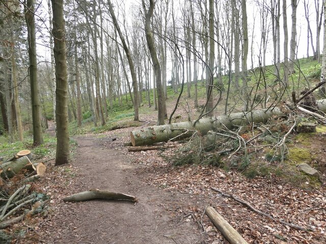
Slainsfield Moor is an expansive area of downs and moorland located in Northumberland, England. Situated in the northern part of the county, the moor covers an area of approximately 10 square miles. It is characterized by its rugged terrain, consisting of rolling hills, heathland, and numerous peat bogs.

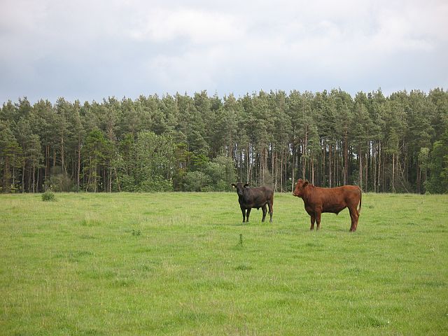
The moorland is known for its wild and untouched beauty, with vast stretches of open land offering stunning panoramic views of the surrounding countryside. The landscape is dominated by a mixture of heather, grasses, and gorse, creating a patchwork of vibrant colors throughout the seasons. The area is particularly breathtaking when the heather is in full bloom, transforming the moor into a sea of purple hues.

Slainsfield Moor is home to a diverse range of wildlife, including various species of birds, such as curlews, lapwings, and golden plovers. The moorland also provides a habitat for several rare and protected species, including the black grouse and the red squirrel. Visitors may encounter these creatures while exploring the area's network of footpaths and trails.

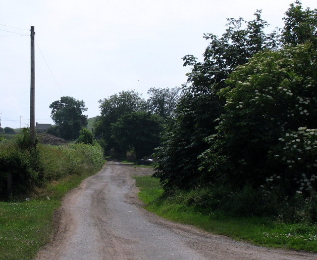
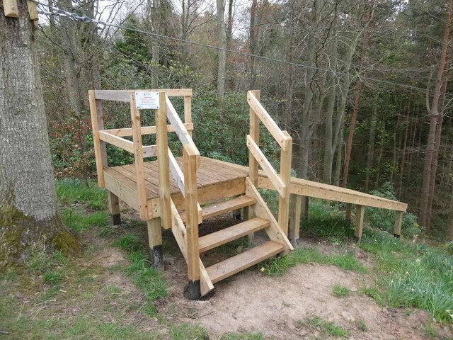
The moor is a popular destination for outdoor enthusiasts, offering opportunities for hiking, birdwatching, and photography. Its remote location provides a sense of tranquility and escape from the bustling towns and cities. Additionally, the moor is part of the Northumberland National Park, ensuring its preservation for future generations to enjoy.

Overall, Slainsfield Moor is a remarkable natural landscape, offering a unique glimpse into the untamed beauty of Northumberland's countryside. Its rugged terrain, diverse wildlife, and breathtaking views make it a must-visit destination for nature lovers and outdoor enthusiasts alike.

If you have any feedback on the listing, please let us know in the comments section below.

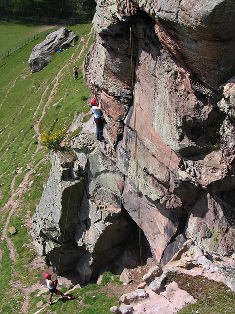
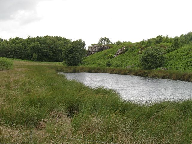
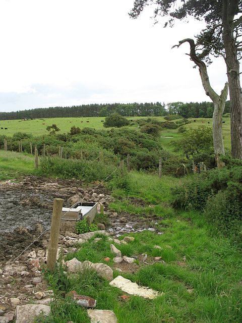
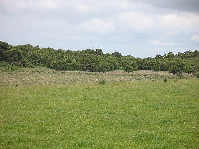
Slainsfield Moor Images

Images are sourced within 2km of 55.648274/-2.0831388 or Grid Reference NT9439. Thanks to Geograph Open Source API. All images are credited.

Rhodes Hill trig
Rhodes Hill trig
Climbing at Berry Hill Superb Northumberland sandstone provides great climbing in the area. The rock is weathered into strange flutings and arches - a friend said it's like climbing on a cathedral. The tracks below are from the sheep & cattle in the field
Climbing at Berry Hill
Superb Northumberland sandstone provides great climbing in the area. The rock is weathered into strange flutings and arches - a friend said it's like climbing on a cathedral. The tracks below are from the sheep & cattle in the field
Berryhill Crag A south facing sandstone crag with some good climbing potential
Berryhill Crag
A south facing sandstone crag with some good climbing potential
Pond and crag, Etal Moor Fell sandstone outcrops.
Pond and crag, Etal Moor
Fell sandstone outcrops.
Fenced off path, Hazely Hill Fenced off area around a field, probably to enable cattle to be moved through a field without mixing. The field with the trough had cows and calves in it, and the background field contained approx. year old cattle.
Fenced off path, Hazely Hill
Fenced off area around a field, probably to enable cattle to be moved through a field without mixing. The field with the trough had cows and calves in it, and the background field contained approx. year old cattle.
Woodside Moor A mix of woodland and good grazing for cattle, not rough grazing as shown on the map.
Woodside Moor
A mix of woodland and good grazing for cattle, not rough grazing as shown on the map.
Cattle, Watchlaw Field between plantations. The cattle were very much on the nervous side of curiosity, and only when it was obvious that I was leaving along the bridleway did they do their usual cautious advancing trick that some folk find unnerving.
Cattle, Watchlaw
Field between plantations. The cattle were very much on the nervous side of curiosity, and only when it was obvious that I was leaving along the bridleway did they do their usual cautious advancing trick that some folk find unnerving.
Lane to Berryhill farm and crags
For the intrepid visitor End station of a zip wire over the deep gorge of Grove Dene on the Ford and Etal estate.
For the intrepid visitor
End station of a zip wire over the deep gorge of Grove Dene on the Ford and Etal estate.
Ford Castle Although a castle has existed on this site since the 13th century, what is seen here almost all dates from the 18th and 19th centuries. Grade I listed.
Ford Castle
Although a castle has existed on this site since the 13th century, what is seen here almost all dates from the 18th and 19th centuries. Grade I listed.
Gatehouse and courtyard, Ford Castle Although a castle has existed on this site since the 13th century, what is seen here almost all dates from the 18th and 19th centuries. The portcullis looks less than authentic. Grade I listed.
Gatehouse and courtyard, Ford Castle
Although a castle has existed on this site since the 13th century, what is seen here almost all dates from the 18th and 19th centuries. The portcullis looks less than authentic. Grade I listed.
Footpath in Castle Dene On the Ford Village and Castle Dene signed walk.
Footpath in Castle Dene
On the Ford Village and Castle Dene signed walk.
Gatehouse, Ford Castle Although a castle has existed on this site since the 13th century, what is seen here almost all dates from the 18th and 19th centuries. The portcullis looks less than authentic. Grade I listed.
Gatehouse, Ford Castle
Although a castle has existed on this site since the 13th century, what is seen here almost all dates from the 18th and 19th centuries. The portcullis looks less than authentic. Grade I listed.
Walled Garden, Ford Castle Outside corner of the garden.
Walled Garden, Ford Castle
Outside corner of the garden.
Cypress tree, Ford Castle Multiple trunks of a cypress tree standing beside the walkway to Ford Castle. Many of the trees on this avenue seem to exhibit the same fate.
Cypress tree, Ford Castle
Multiple trunks of a cypress tree standing beside the walkway to Ford Castle. Many of the trees on this avenue seem to exhibit the same fate.
Mural in the Lady Waterford Hall Louisa, Lady Waterford, dowager of the Ford Castle estate established the village school in 1860 and painted biblical scenes on the walls in pre-Raphaelite style. The hall is now a museum dedicated to her work.
Mural in the Lady Waterford Hall
Louisa, Lady Waterford, dowager of the Ford Castle estate established the village school in 1860 and painted biblical scenes on the walls in pre-Raphaelite style. The hall is now a museum dedicated to her work.
Show me another place!

Slainsfield Moor is located at Grid Ref: NT9439 (Lat: 55.648274, Lng: -2.0831388)

Unitary Authority: Northumberland

Police Authority: Northumbria

What 3 Words

///parting.saturate.locker. Near Ford, Northumberland

Related Wikis

Lady Waterford Hall

Lady Waterford Hall is the former village school of the estate village of Ford, Northumberland. It is now used as the village hall and is a Grade II* listed...

Heatherslaw Mill

Heatherslaw Mill is a water mill situated on the Ford and Etal Estate, 7 miles north of the town of Wooler in the English county of Northumberland. It...

Ford, Northumberland

Ford is a small village and civil parish in Northumberland, England, about 13 miles (21 km) from Berwick-upon-Tweed. The parish also includes Etal. �...
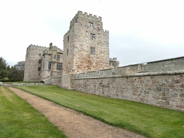
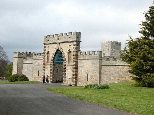
Ford Castle

Ford Castle is a Grade I listed building situated at a shallow crossing point on the River Till, Ford, Northumberland, England. The castle dates from about...

Nearby Amenities

Located within 500m of 55.648274,-2.0831388
Viewpoint - just west of Slainsfield
Source: local knowledge
Tourism: viewpoint
Lat/Long: 55.6474841/-2.089362
Power: pole
Lat/Long: 55.6479246/-2.0810062
Power: pole
Lat/Long: 55.6479836/-2.0796542
Power: pole
Lat/Long: 55.6480191/-2.0825298
Power: pole
Lat/Long: 55.648071/-2.0782688
Power: pole
Lat/Long: 55.6481066/-2.0840246
Power: pole
Lat/Long: 55.6481066/-2.0853459
Power: pole
Lat/Long: 55.648145/-2.0867267
Power: pole
Lat/Long: 55.6481537/-2.076808
Power: pole
Lat/Long: 55.6481962/-2.0881785
Power: pole
Lat/Long: 55.648234/-2.0753513
Power: pole
Lat/Long: 55.648241/-2.0895849
Power: pole
Lat/Long: 55.6482858/-2.0910338
The data included in this document is from www.openstreetmap.org. The data is made available under ODbL.

Have you been to Slainsfield Moor?

Leave your review of Slainsfield Moor below (or comments, questions and feedback).