Great Allotment

Downs, Moorland in Yorkshire

England

Great Allotment

Estate track north of Ravock From the end of the public road at West Stoney Keld, the estate track heads west at the base of the gentle northern slopes of Ravock, heading up to North Moor before taking a sharp left turn to head to the A66 opposite Old Spital. Here it is heading up Sled Dale (occupied by Deepdale Beck which will indeed soon flow into Deepdale, but here the valley is too shallow to use that name, apparently). In about a kilometre it will cross the main route of the Pennine Way (used by those who have not chosen the Bowes Loop alternative to get nearer some overnight accommodation, as I did when walking it in 1974). Although very near my home, this is the first time I've done this section of track without skis as it often makes an excellent loipe, following compressed snow in the Land Rover tracks before heading higher onto the moors.
Estate track north of Ravock Credit: Andy Waddington

Great Allotment is a picturesque village located in the heart of Yorkshire, England. Nestled amidst the stunning landscapes of the Yorkshire Downs and Moorland, this charming village offers a tranquil escape from the hustle and bustle of city life.

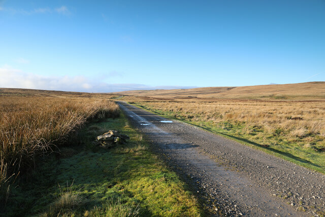
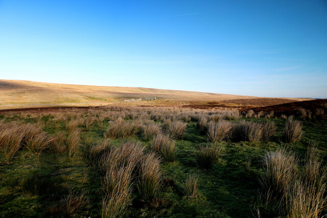
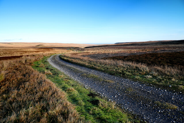
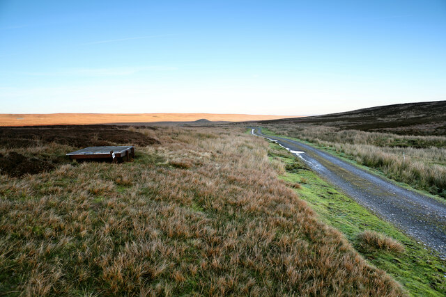
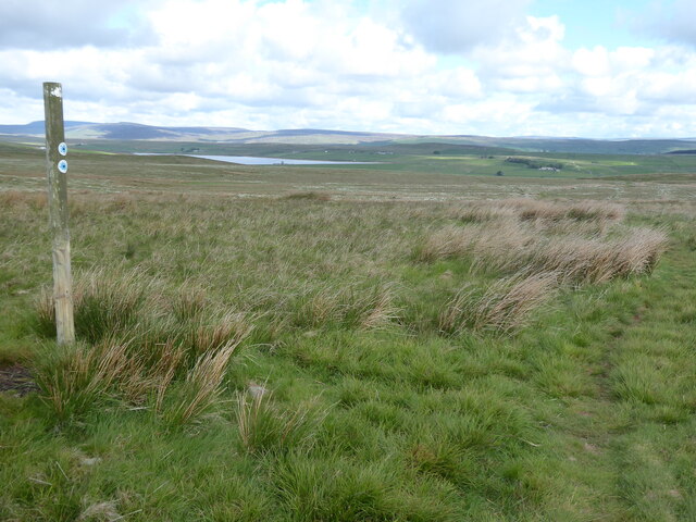
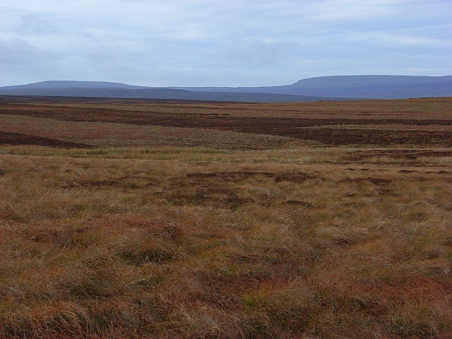
The village is known for its idyllic setting, with rolling green hills, enchanting forests, and meandering streams that create a serene atmosphere. The Yorkshire Downs, with their vast open spaces and breathtaking views, are a haven for hikers, nature enthusiasts, and photographers alike. The moorland, on the other hand, showcases a unique ecosystem with heather-covered hills, wildflowers, and an array of wildlife.

Great Allotment itself is a close-knit community, with friendly locals who take pride in their village. The village center is the heart of the community, featuring a picturesque square adorned with quaint cottages, a village hall, and a traditional pub where visitors can experience the warm hospitality and enjoy traditional Yorkshire cuisine.

In addition to its natural beauty, Great Allotment is also steeped in history. The village boasts a historic church, dating back several centuries, which serves as a reminder of the village's rich heritage. Exploring the village's narrow lanes and historic buildings is like stepping back in time, with each corner revealing a new piece of the past.

Overall, Great Allotment is a hidden gem in Yorkshire, offering visitors a chance to immerse themselves in the beauty of nature and experience the charm of a traditional English village. Whether it's exploring the Yorkshire Downs, delving into the village's history, or simply enjoying the peaceful ambiance, Great Allotment is a destination that should not be missed.

If you have any feedback on the listing, please let us know in the comments section below.

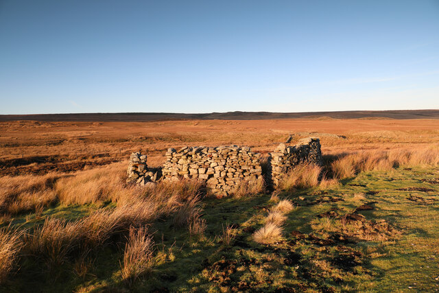
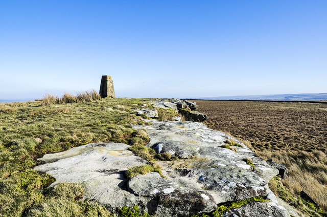
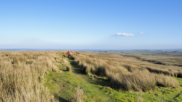
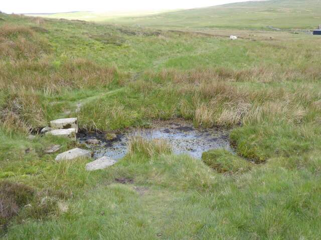
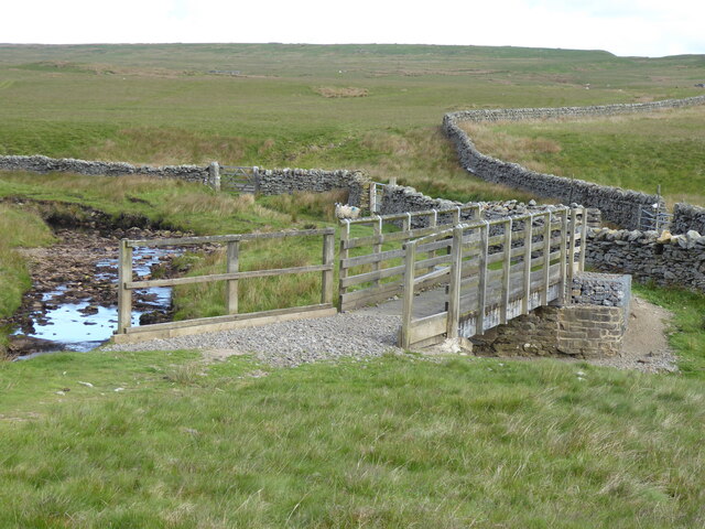
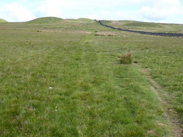
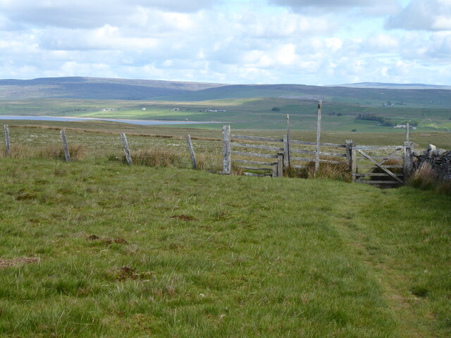
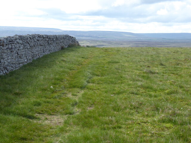
Great Allotment Images

Images are sourced within 2km of 54.530037/-2.0807354 or Grid Reference NY9414. Thanks to Geograph Open Source API. All images are credited.

Estate track north of Ravock From the end of the public road at West Stoney Keld, the estate track heads west at the base of the gentle northern slopes of Ravock, heading up to North Moor before taking a sharp left turn to head to the A66 opposite Old Spital. Here it is heading up Sled Dale (occupied by Deepdale Beck which will indeed soon flow into Deepdale, but here the valley is too shallow to use that name, apparently). In about a kilometre it will cross the main route of the Pennine Way (used by those who have not chosen the Bowes Loop alternative to get nearer some overnight accommodation, as I did when walking it in 1974). Although very near my home, this is the first time I've done this section of track without skis as it often makes an excellent loipe, following compressed snow in the Land Rover tracks before heading higher onto the moors.
Estate track north of Ravock
From the end of the public road at West Stoney Keld, the estate track heads west at the base of the gentle northern slopes of Ravock, heading up to North Moor before taking a sharp left turn to head to the A66 opposite Old Spital. Here it is heading up Sled Dale (occupied by Deepdale Beck which will indeed soon flow into Deepdale, but here the valley is too shallow to use that name, apparently). In about a kilometre it will cross the main route of the Pennine Way (used by those who have not chosen the Bowes Loop alternative to get nearer some overnight accommodation, as I did when walking it in 1974). Although very near my home, this is the first time I've done this section of track without skis as it often makes an excellent loipe, following compressed snow in the Land Rover tracks before heading higher onto the moors.
Sheepfold in Sled Dale The very large scale map calls this structure a livestock pen, whilst the 1:25000 map prefers Sheepfold (as do I). The moor is nowadays managed for grouse, and there are certainly no sheep up here in the winter months, but a few are to be found dotted around in the summer. The sunlit moorland beyond Deepdale Beck is the Great Allotment, but the shallow valley is not Deepdale - that lies lower down the course of the stream. Up here it is called Sled Dale - probably appropriate as most times I've been here before, I've been on skis rather than a sled, but certainly something to slide along the snow has been most useful !
Sheepfold in Sled Dale
The very large scale map calls this structure a livestock pen, whilst the 1:25000 map prefers Sheepfold (as do I). The moor is nowadays managed for grouse, and there are certainly no sheep up here in the winter months, but a few are to be found dotted around in the summer. The sunlit moorland beyond Deepdale Beck is the Great Allotment, but the shallow valley is not Deepdale - that lies lower down the course of the stream. Up here it is called Sled Dale - probably appropriate as most times I've been here before, I've been on skis rather than a sled, but certainly something to slide along the snow has been most useful !
Estate track on North Dodd The estate track leaves the A66 opposite Old Spital, heads north onto North Moor and then turns sharply east to head down Sled Dale to West Stoney Keld. At this point, on the northern side of North Dodd, it is following the left bank of Boldron Strand, a small stream which doesn't flow anywhere near Boldron (a small village some ten kilometres to the east). It is, in fact, a right bank tributary to Deepdale Beck, flowing, at the confluence, in Sled Dale, only forming Deepdale somewhat further to the east as it cuts down. The rather prominent knoll in this view is Green How, not living up to its name at this late season when all the sedges have yellowed.
Estate track on North Dodd
The estate track leaves the A66 opposite Old Spital, heads north onto North Moor and then turns sharply east to head down Sled Dale to West Stoney Keld. At this point, on the northern side of North Dodd, it is following the left bank of Boldron Strand, a small stream which doesn't flow anywhere near Boldron (a small village some ten kilometres to the east). It is, in fact, a right bank tributary to Deepdale Beck, flowing, at the confluence, in Sled Dale, only forming Deepdale somewhat further to the east as it cuts down. The rather prominent knoll in this view is Green How, not living up to its name at this late season when all the sedges have yellowed.
Shooting position on North Dodd I hesitate to call this a grouse butt - it offers nothing in the way of concealment and no more shelter than perhaps an opportunity to avoid sinking into the peat. This one is the last of a line of ten, a longer line than most - perhaps the clients are expected to periodically huddle together for warmth like so many penguins? I'd want a refund! The estate track, here at about 385m above sea level, runs from West Stoney Keld to a point on the A66 opposite Old Spital, the section most frequently blocked by snow (often for days at a time, as in the recent storm Arwen). Grouse shooting potentially goes on until December 10th, so this is not a place for those used to the more luxurious stone-built butts lower down.
Shooting position on North Dodd
I hesitate to call this a grouse butt - it offers nothing in the way of concealment and no more shelter than perhaps an opportunity to avoid sinking into the peat. This one is the last of a line of ten, a longer line than most - perhaps the clients are expected to periodically huddle together for warmth like so many penguins? I'd want a refund! The estate track, here at about 385m above sea level, runs from West Stoney Keld to a point on the A66 opposite Old Spital, the section most frequently blocked by snow (often for days at a time, as in the recent storm Arwen). Grouse shooting potentially goes on until December 10th, so this is not a place for those used to the more luxurious stone-built butts lower down.
Sheepfold in Sled Dale Sled Dale seems very well supplied with sheepfolds, many in better condition than this one next to the estate track, and low winter light picks them out in the rather gently rolling landscape, as they are often placed on firmer, and therefore slightly raised, ground above the mostly peaty, boggy terrain. Beyond Deepdale Beck (which retains its name well upstream of Deepdale from which it derives its name) the ground climbs again to a long ridge, Race Yate Rigg, which forms the watershed with Baldersdale to the north.
Sheepfold in Sled Dale
Sled Dale seems very well supplied with sheepfolds, many in better condition than this one next to the estate track, and low winter light picks them out in the rather gently rolling landscape, as they are often placed on firmer, and therefore slightly raised, ground above the mostly peaty, boggy terrain. Beyond Deepdale Beck (which retains its name well upstream of Deepdale from which it derives its name) the ground climbs again to a long ridge, Race Yate Rigg, which forms the watershed with Baldersdale to the north.
Rove Gill Draining Dryrigg
Roundshaw Rigg, Ravock Moor
Ravock Faint path across Ravock moorland.
Ravock
Faint path across Ravock moorland.
Rock edge at West Hare Crag West Hare Crag is one of a number of low rock outcrops in this vicinity. The trig point is known to the OS as Brown Rigg. Brown Rigg is the name of the moorland ridge which is followed by the distant wall.
Rock edge at West Hare Crag
West Hare Crag is one of a number of low rock outcrops in this vicinity. The trig point is known to the OS as Brown Rigg. Brown Rigg is the name of the moorland ridge which is followed by the distant wall.
Bridleway passing through rushes The walker ahead in the image is on the short grass of a bridleway heading along or towards Ladyfold Rigg. In this area the word Rigg appears a number of times on maps and applies to ridges separated by shallow valleys running more or less parallel to one another.
Bridleway passing through rushes
The walker ahead in the image is on the short grass of a bridleway heading along or towards Ladyfold Rigg. In this area the word Rigg appears a number of times on maps and applies to ridges separated by shallow valleys running more or less parallel to one another.
The Pennine Way near Dryrigg Moss
The Pennine Way near Ravock Castle
The Pennine Way crossing Duckett Sike
The Pennine Way crossing Deepdale Beck
The Pennine Way near Knotts Hill
The Pennine Way near Race Yate
The Pennine Way near Peatbrig Hill
Show me another place!

Great Allotment is located at Grid Ref: NY9414 (Lat: 54.530037, Lng: -2.0807354)

Division: North Riding

Unitary Authority: County Durham

Police Authority: Durham

What 3 Words

///suckle.fastening.behind. Near Bowes, Co. Durham

Nearby Locations

Great Allotment

Related Wikis

Cotherstone Moor

Cotherstone Moor is a Site of Special Scientific Interest in the Teesdale district in south-west County Durham, England. It is an extensive area of moorland...
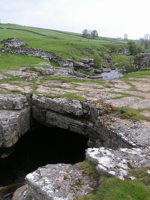
God's Bridge

God's Bridge is a Site of Special Scientific Interest in the County Durham district of south-west County Durham, England. It is a natural limestone bridge...

Hunder Beck Juniper

Hunder Beck Juniper is a Site of Special Scientific Interest in the Teesdale district of south-west County Durham, England. It lies between the Balderhead...

RAF Bowes Moor

RAF Bowes Moor was a chemical warfare agent (CWA) storage site run by the Royal Air Force during and after the Second World War. The site was to the north...

Nearby Amenities

Located within 500m of 54.530037,-2.0807354
Ford: stepping_stones
Image: https://www.geograph.org.uk/photo/5420638
Lat/Long: 54.5266753/-2.0789199
Ford: yes
Lat/Long: 54.5308661/-2.0775908
Ford: yes
Lat/Long: 54.5315525/-2.0761746
Shelter
Shelter Type: basic_hut
Lat/Long: 54.5280412/-2.0811729
Ford: yes
Lat/Long: 54.5283284/-2.0822233
The data included in this document is from www.openstreetmap.org. The data is made available under ODbL.

Have you been to Great Allotment?

Leave your review of Great Allotment below (or comments, questions and feedback).