Annochie Moss

Downs, Moorland in Aberdeenshire

Scotland

Annochie Moss

Looking up to Catcraig from the Formartine and Buchan Way The foreground is either the site of Auchnagatt Station or near it. The platforms were further south and 1950's mapping show buildings here.
Looking up to Catcraig from the Formartine and Buchan Way Credit: Richard Webb

Annochie Moss is a picturesque area located in Aberdeenshire, Scotland. Known for its stunning landscape, it is situated amidst rolling downs and vast moorlands. The region is characterized by its rich biodiversity and unique natural features.

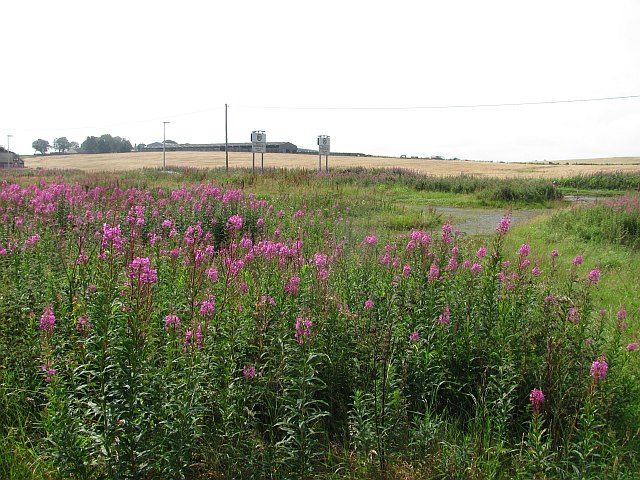
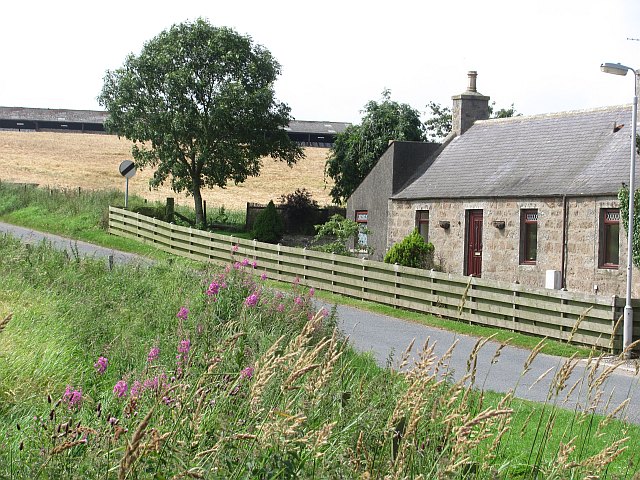
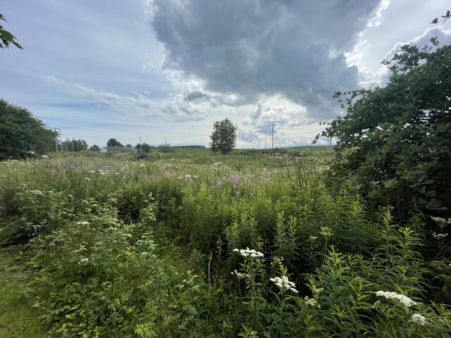
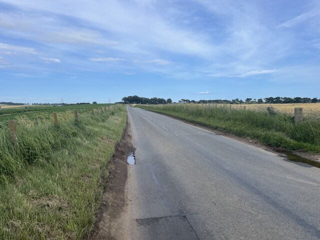
The downs of Annochie Moss offer panoramic views of the surrounding countryside. With their gentle slopes, these downs are a popular spot for hiking and nature enthusiasts. The lush green grass and scattered wildflowers create a serene atmosphere, perfect for relaxation and leisurely walks.

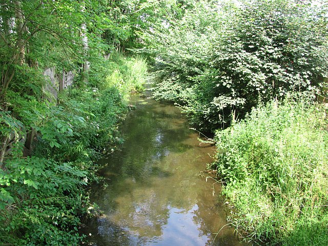
Adjacent to the downs, the moorlands of Annochie Moss provide a contrasting landscape. These expansive moorlands are covered in heather and gorse, adding vibrant colors to the surroundings. The moorlands are home to a variety of wildlife, including grouse, deer, and various species of birds. This makes Annochie Moss a favored destination for birdwatchers and animal lovers.

The area also boasts several walking trails and nature reserves, allowing visitors to explore the natural beauty of Annochie Moss. The trails meander through the downs and moorlands, providing breathtaking views at every turn. Visitors can also indulge in activities such as picnicking, photography, and wildlife spotting.

Annochie Moss is easily accessible, with nearby parking facilities and a visitor center providing information and guidance. Whether one seeks solitude in nature or an adventurous exploration, Annochie Moss offers a unique experience for all nature enthusiasts.

If you have any feedback on the listing, please let us know in the comments section below.

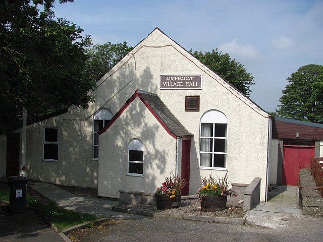
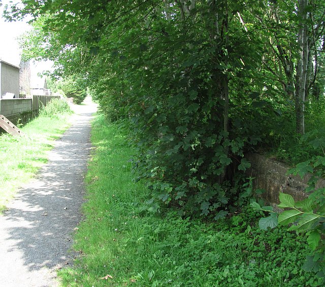
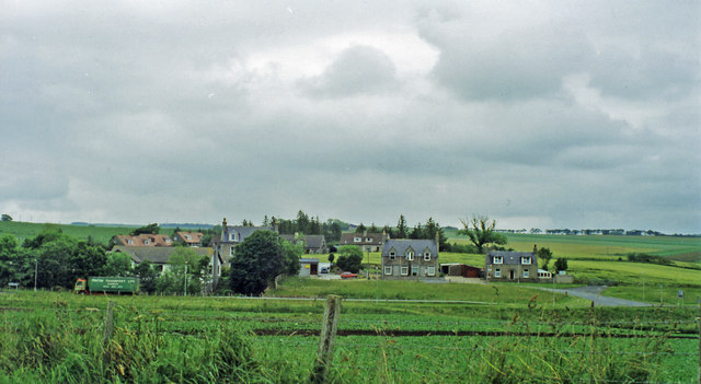
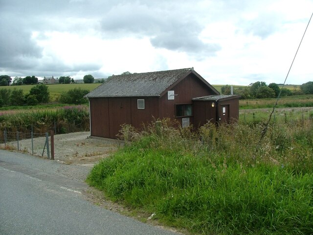
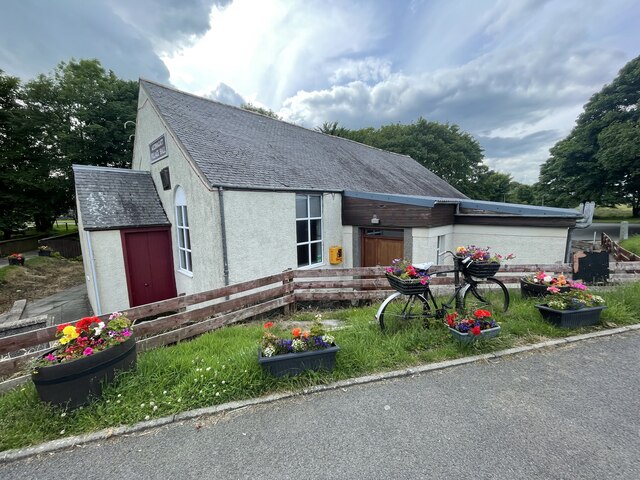
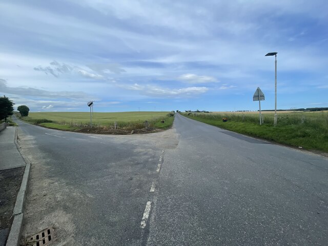
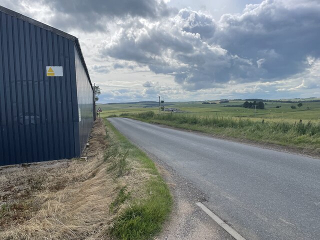
Annochie Moss Images

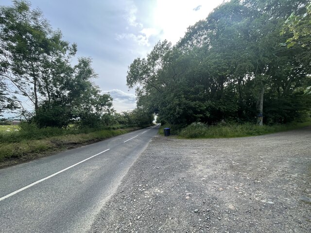
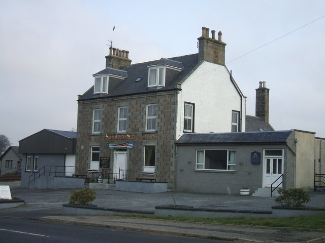
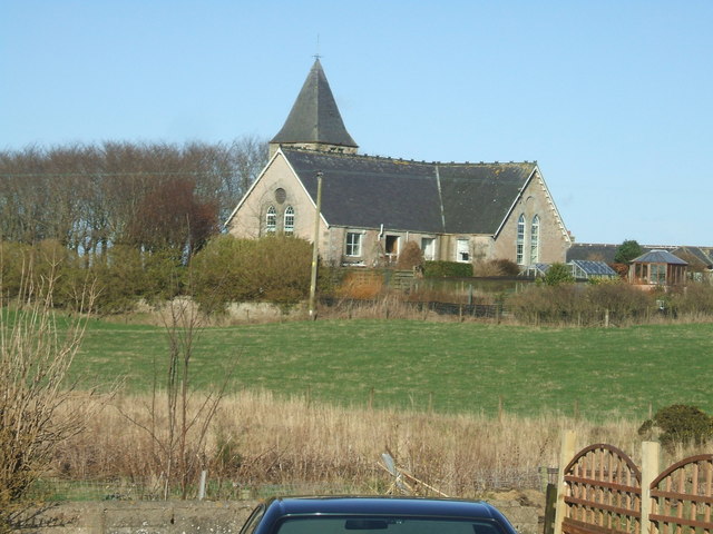
Images are sourced within 2km of 57.475489/-2.089509 or Grid Reference NJ9442. Thanks to Geograph Open Source API. All images are credited.

Looking up to Catcraig from the Formartine and Buchan Way The foreground is either the site of Auchnagatt Station or near it. The platforms were further south and 1950's mapping show buildings here.
Looking up to Catcraig from the Formartine and Buchan Way
The foreground is either the site of Auchnagatt Station or near it. The platforms were further south and 1950's mapping show buildings here.
Formartine and Buchan Way signs in Auchnagatt Some satisfying big numbers - all but 5 of the miles to Aberdeen are off road.
Formartine and Buchan Way signs in Auchnagatt
Some satisfying big numbers - all but 5 of the miles to Aberdeen are off road.
Auchnagatt
Auchnagatt
Ebrie Burn. Auchnagatt
Auchnagatt Village Hall
Auchnagatt Station An overgrown platform on the Formartine and Buchan Railway.
Auchnagatt Station
An overgrown platform on the Formartine and Buchan Railway.
Site of Auchnagatt station View eastward from A948 road: ex-GNSR (Aberdeen) - Dyce (to right) - Maud - Fraserburgh/Peterhead lines. The station - somewhere in the village here - was closed 4/10/65 when passenger services to Fraserburgh ceased, but handled goods here until 28/3/66 and the line was not closed until 4/10/79.
Site of Auchnagatt station
View eastward from A948 road: ex-GNSR (Aberdeen) - Dyce (to right) - Maud - Fraserburgh/Peterhead lines. The station - somewhere in the village here - was closed 4/10/65 when passenger services to Fraserburgh ceased, but handled goods here until 28/3/66 and the line was not closed until 4/10/79.
Auchnagatt telephone exchange Auchnagatt telephone exchange is unusual in being in a very prominent location - most are hidden away.
Auchnagatt telephone exchange
Auchnagatt telephone exchange is unusual in being in a very prominent location - most are hidden away.
Overgrown old station The Formartine and Buchan Way is a long-distance trail in Scotland, extending from Dyce north to Peterhead and Fraserburgh in the Buchan and Formartine districts of Aberdeenshire in Scotland. It follows the track of a former railway line, the Formartine and Buchan Railway, and is open to walkers, cyclists and horse riders.The railway closed in 1979 (Fraserburgh) and 1970 (Maud-Peterhead). The walkway opened in the early 1990s, and is managed by Aberdeenshire Council. It is listed as one of Scotland's Great Trails by NatureScot
64 km (40 mi) to Fraserburgh, plus 21 km (13 mi) spur to Peterhead.
Overgrown old station
The Formartine and Buchan Way is a long-distance trail in Scotland, extending from Dyce north to Peterhead and Fraserburgh in the Buchan and Formartine districts of Aberdeenshire in Scotland. It follows the track of a former railway line, the Formartine and Buchan Railway, and is open to walkers, cyclists and horse riders.The railway closed in 1979 (Fraserburgh) and 1970 (Maud-Peterhead). The walkway opened in the early 1990s, and is managed by Aberdeenshire Council. It is listed as one of Scotland's Great Trails by NatureScot 64 km (40 mi) to Fraserburgh, plus 21 km (13 mi) spur to Peterhead.
Auchnagatt Village hall
Junction on the B9030
Mains of Annochie
Mains of Annochie
The B9030
The B9030
War Memorial on the B9030
The B9030
The B9030
Lines of power
Lines of power
Junction on the B9030
Ebrie House Hotel, Auchnagatt formerly 'The Baron's Hotel'
Ebrie House Hotel, Auchnagatt
formerly 'The Baron's Hotel'
Show me another place!

Annochie Moss is located at Grid Ref: NJ9442 (Lat: 57.475489, Lng: -2.089509)

Unitary Authority: Aberdeenshire

Police Authority: North East

What 3 Words

///just.scream.rezoning. Near Mintlaw, Aberdeenshire

Nearby Locations

Annochie Moss

Related Wikis

Nearby Amenities

Located within 500m of 57.475489,-2.089509
Power: pole
Lat/Long: 57.471863/-2.0849925
Power: pole
Lat/Long: 57.4717418/-2.0862945
Power: pole
Lat/Long: 57.4716185/-2.0877261
Power: pole
Lat/Long: 57.4714588/-2.0889384
Power: pole
Lat/Long: 57.4713183/-2.0900889
Power: pole
Lat/Long: 57.4711864/-2.0910918
Power: pole
Lat/Long: 57.4763389/-2.092596
Power: pole
Lat/Long: 57.4765962/-2.0914545
Power: pole
Lat/Long: 57.4768604/-2.0903193
Power: pole
Lat/Long: 57.4771234/-2.089165
Power: pole
Lat/Long: 57.4773022/-2.0884047
Power: pole
Lat/Long: 57.4775367/-2.0874199
Power: pole
Lat/Long: 57.4725287/-2.0836924
Power: pole
Lat/Long: 57.4730434/-2.0843553
Power: pole
Lat/Long: 57.4735251/-2.0849547
Power: pole
Lat/Long: 57.4741366/-2.085482
Power: pole
Lat/Long: 57.4747606/-2.0860263
Power: pole
Lat/Long: 57.4753573/-2.086613
Power: pole
Lat/Long: 57.4760178/-2.0872166
Power: pole
Lat/Long: 57.4766304/-2.0877694
Power: pole
Lat/Long: 57.4779364/-2.0889787
Power: pole
Lat/Long: 57.4785558/-2.0895441
Power: pole
Lat/Long: 57.4791274/-2.0900736
Power: pole
Lat/Long: 57.4794656/-2.0903489
Power: pole
Lat/Long: 57.4798208/-2.0905777
Power: pole
Lat/Long: 57.4798789/-2.0906158
Power: pole
Lat/Long: 57.4794246/-2.0911008
Power: pole
Lat/Long: 57.479724/-2.0921555
Power: pole
Lat/Long: 57.47882/-2.089559
Power: pole
Lat/Long: 57.4785148/-2.0890443
Power: pole
Lat/Long: 57.4781926/-2.0885
Power: pole
Lat/Long: 57.4778658/-2.0879769
Power: pole
Lat/Long: 57.4774331/-2.0866321
Power: pole
Lat/Long: 57.4773181/-2.0858484
Power: pole
Lat/Long: 57.4772054/-2.0850203
The data included in this document is from www.openstreetmap.org. The data is made available under ODbL.

Have you been to Annochie Moss?

Leave your review of Annochie Moss below (or comments, questions and feedback).