Cross of the Plain
Downs, Moorland in Yorkshire
England
Cross of the Plain
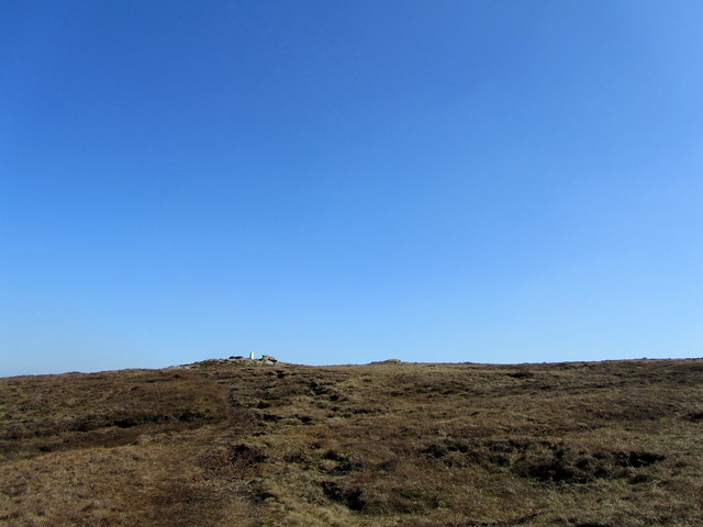
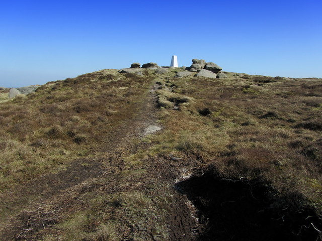
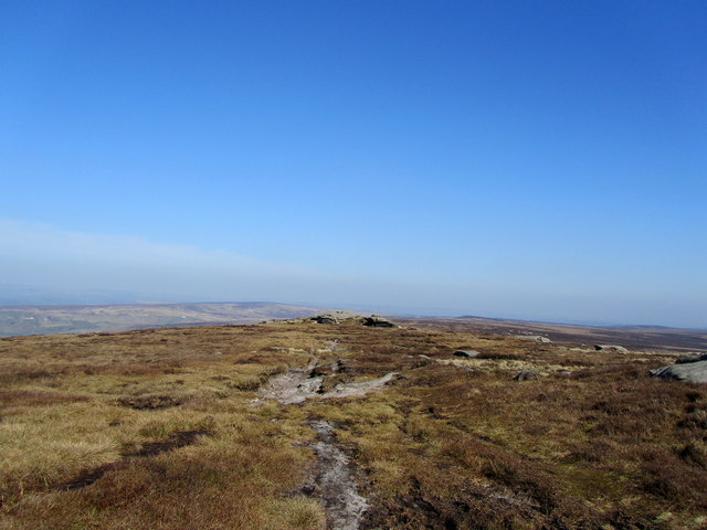
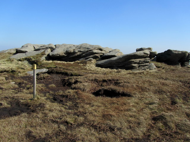
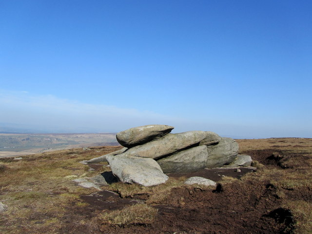
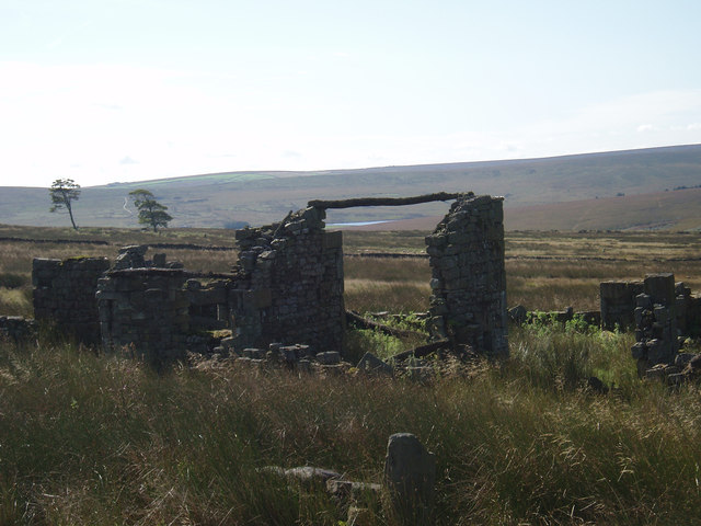
The Cross of the Plain is a notable landmark located in the region of Yorkshire, England. Situated amidst the vast expanse of the Yorkshire Downs and Moorland, this cross stands as a symbol of history and tradition. It is positioned at a point where the rolling hills and open plains meet, providing a picturesque view of the surrounding countryside.
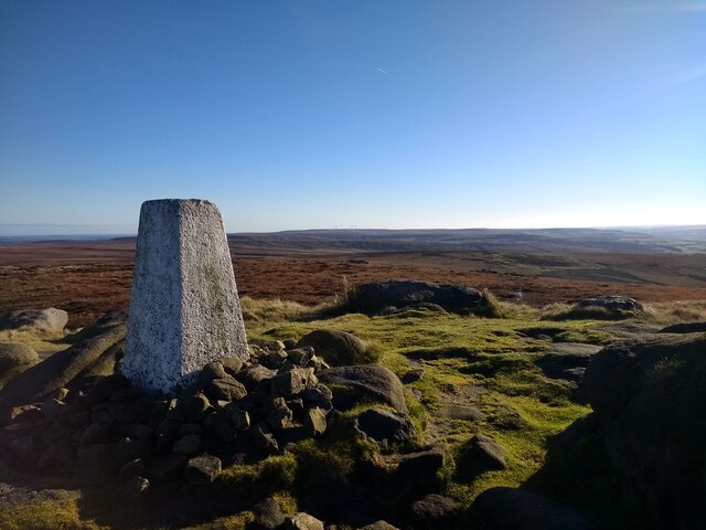
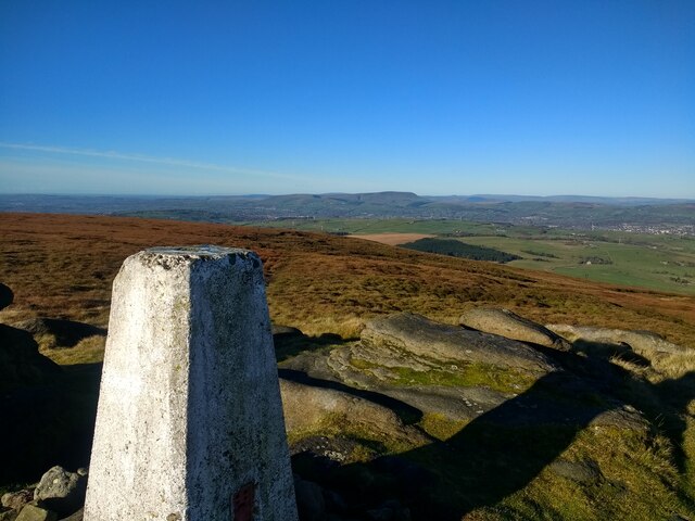
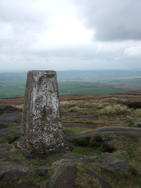
The Cross of the Plain is a stone structure, standing at a height of approximately 10 feet. It is constructed with locally sourced stone, giving it a rustic and authentic appearance. The cross has a simple design, featuring a vertical pillar intersected by a horizontal beam near the top. This traditional shape is reminiscent of the ancient Celtic crosses found in this region.
The location of the Cross of the Plain holds historical significance, as it is believed to mark an ancient pilgrimage route. Pilgrims would often stop at this cross to offer prayers and seek blessings before continuing their journey. Today, the cross serves as a reminder of this rich historical and cultural heritage.
Visitors to the Cross of the Plain can enjoy the breathtaking views of the Yorkshire Downs and Moorland, with its rolling green hills and expansive skies. The surrounding area offers opportunities for hiking, walking, and exploring the natural beauty of the region.
In conclusion, the Cross of the Plain is a historic landmark in Yorkshire, England, standing as a testament to the region's heritage and natural beauty. Its simple yet captivating design and its picturesque location make it a must-visit destination for both locals and tourists alike.
If you have any feedback on the listing, please let us know in the comments section below.
Cross of the Plain Images
Images are sourced within 2km of 53.813048/-2.0816096 or Grid Reference SD9435. Thanks to Geograph Open Source API. All images are credited.


Cross of the Plain is located at Grid Ref: SD9435 (Lat: 53.813048, Lng: -2.0816096)
Division: West Riding
Unitary Authority: Calderdale
Police Authority: West Yorkshire
What 3 Words
///decays.panning.apprehend. Near Colne, Lancashire
Nearby Locations
Related Wikis

Boulsworth Hill
Boulsworth Hill is a large expanse of moorland, the highest point of the South Pennines of south-eastern Lancashire, England, separating the Borough of...

Walshaw Dean Reservoirs
Walshaw Dean Reservoirs are three reservoirs situated above Hebden Bridge, West Yorkshire, England. They are between Hebden Bridge and Top Withins, a ruined...

Top Withens
Top Withens (SD981353) (also known as Top Withins) is a ruined farmhouse near Haworth, West Yorkshire, England, which is said to have been the inspiration...

Watersheddles Reservoir
Watersheddles Reservoir is an upland artificial lake in Lancashire, England. The reservoir was opened in 1877 by the Keighley Corporation Water Works,...
Have you been to Cross of the Plain?
Leave your review of Cross of the Plain below (or comments, questions and feedback).