Bullion Clough
Valley in Yorkshire
England
Bullion Clough
Bullion Clough is a picturesque valley located in the county of Yorkshire, England. Nestled in the heart of the Peak District National Park, it is renowned for its breathtaking beauty and tranquil atmosphere. The valley is situated near the village of Hayfield and is surrounded by rolling hills, lush green meadows, and dense woodlands.
The name Bullion Clough is derived from the Old English word "bullun" meaning a stream or brook, which perfectly describes the main feature of the area. A crystal-clear stream flows through the valley, cascading over moss-covered rocks and creating small waterfalls along its course. The sound of running water combined with the gentle rustling of leaves provides a soothing ambiance to visitors.
The valley is a haven for nature lovers and outdoor enthusiasts. It offers a variety of walking trails that cater to all levels of fitness, from leisurely strolls to challenging hikes. The picturesque landscape provides ample opportunities for photographers and artists to capture the beauty of the surroundings.
Wildlife is abundant in Bullion Clough, and it is not uncommon to spot various species of birds, such as redstarts and dippers, as well as small mammals like deer and rabbits. The valley is also home to a diverse range of plant life, including native wildflowers and ancient trees.
Whether you are seeking a peaceful retreat or an adventurous escapade, Bullion Clough in Yorkshire is a destination that offers both natural beauty and recreational opportunities, making it a must-visit location for anyone exploring the region.
If you have any feedback on the listing, please let us know in the comments section below.
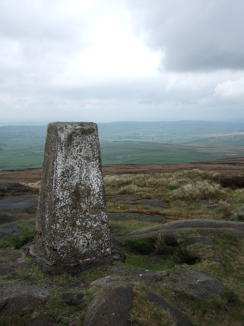
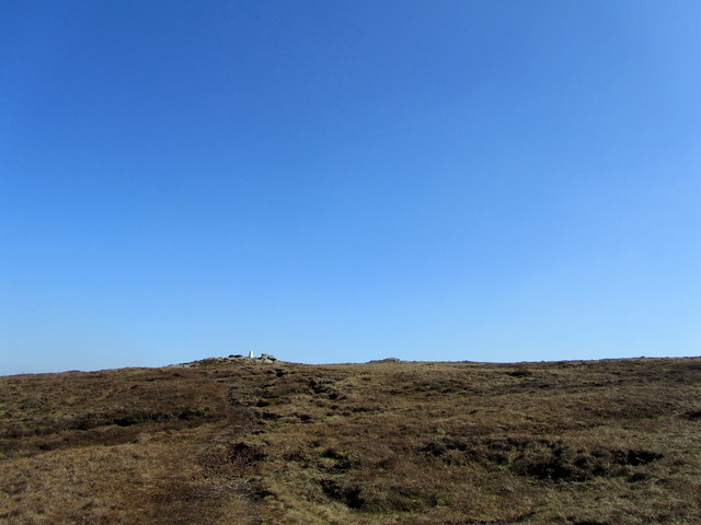
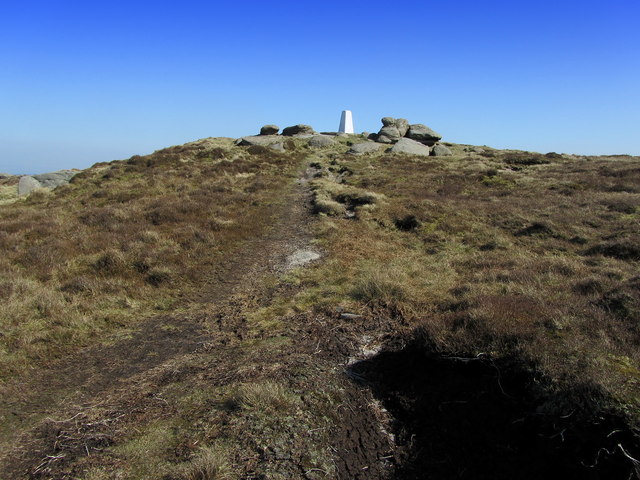
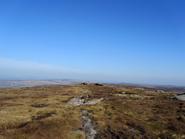
Bullion Clough Images
Images are sourced within 2km of 53.815484/-2.0814625 or Grid Reference SD9435. Thanks to Geograph Open Source API. All images are credited.


Bullion Clough is located at Grid Ref: SD9435 (Lat: 53.815484, Lng: -2.0814625)
Division: West Riding
Unitary Authority: Calderdale
Police Authority: West Yorkshire
What 3 Words
///processes.brisk.dazzling. Near Colne, Lancashire
Nearby Locations
Related Wikis

Boulsworth Hill
Boulsworth Hill is a large expanse of moorland, the highest point of the South Pennines of south-eastern Lancashire, England, separating the Borough of...

Walshaw Dean Reservoirs
Walshaw Dean Reservoirs are three reservoirs situated above Hebden Bridge, West Yorkshire, England. They are between Hebden Bridge and Top Withins, a ruined...

Watersheddles Reservoir
Watersheddles Reservoir is an upland artificial lake in Lancashire, England. The reservoir was opened in 1877 by the Keighley Corporation Water Works,...

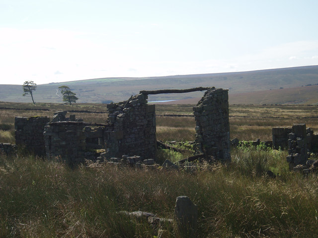
Top Withens
Top Withens (SD981353) (also known as Top Withins) is a ruined farmhouse near Haworth, West Yorkshire, England, which is said to have been the inspiration...
Have you been to Bullion Clough?
Leave your review of Bullion Clough below (or comments, questions and feedback).