Brough Pasture
Downs, Moorland in Yorkshire Richmondshire
England
Brough Pasture
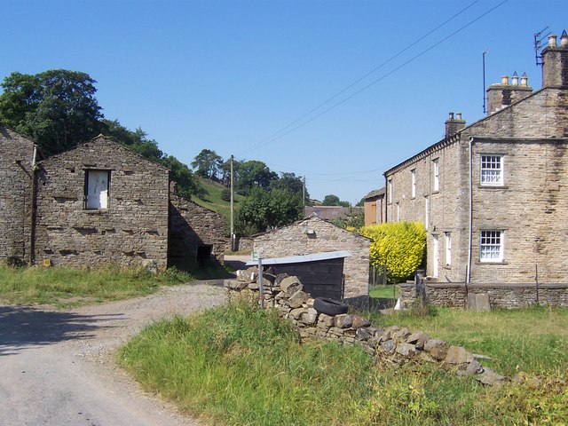
Brough Pasture is a picturesque area located in the county of Yorkshire, England. Nestled amidst the stunning landscapes of the Yorkshire Downs and Moorland, this vast expanse of lush greenery offers a haven for nature lovers and outdoor enthusiasts alike.
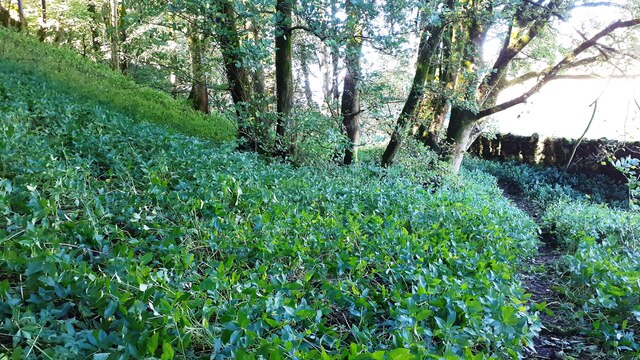
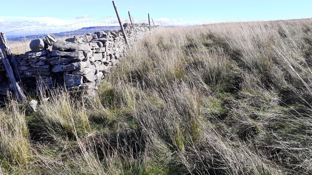
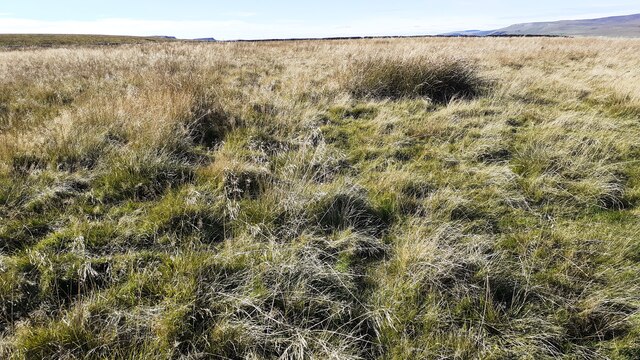
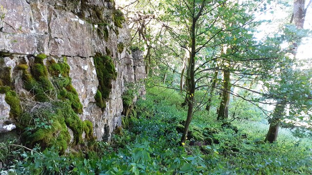
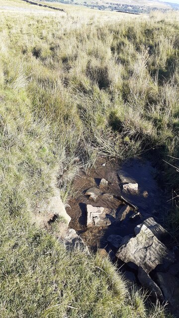
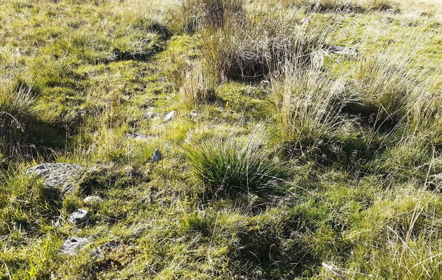
Stretching over several acres, Brough Pasture is characterized by its rolling hills, open fields, and meandering streams. The area is rich in diverse flora and fauna, making it a haven for wildlife. Visitors can spot a variety of bird species, including curlews, lapwings, and skylarks, soaring through the clear blue skies.
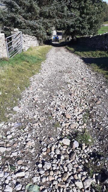
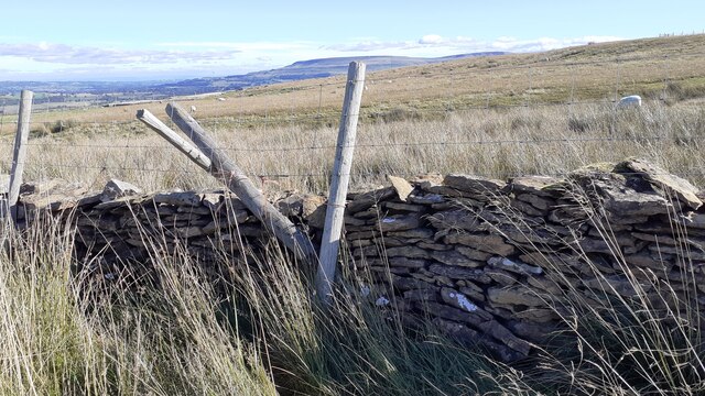
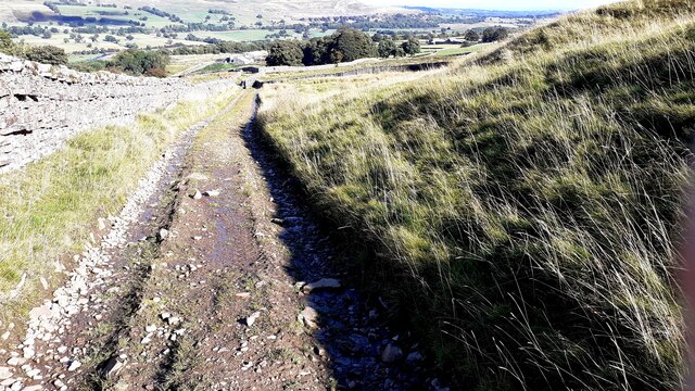
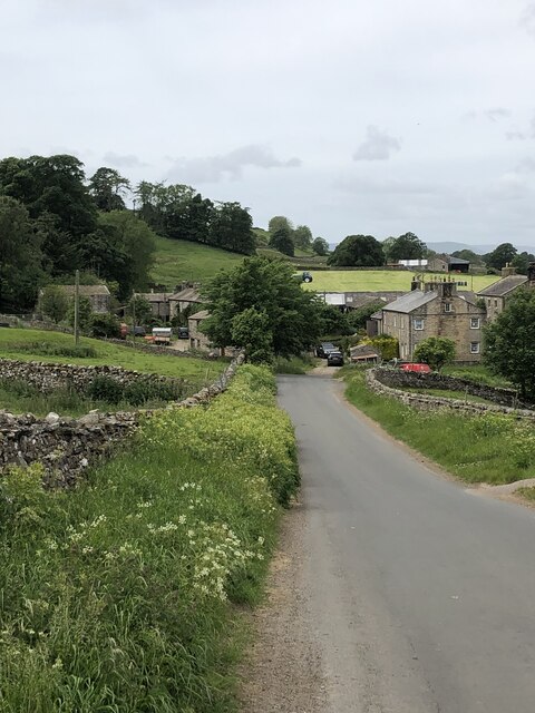
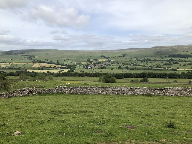
The peacefulness and tranquility of Brough Pasture attract hikers and walkers who can explore its many footpaths and trails. As they wander through the expansive meadows, visitors can enjoy stunning views of the surrounding countryside, with its patchwork of fields and distant moorland.
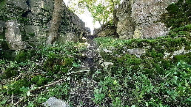
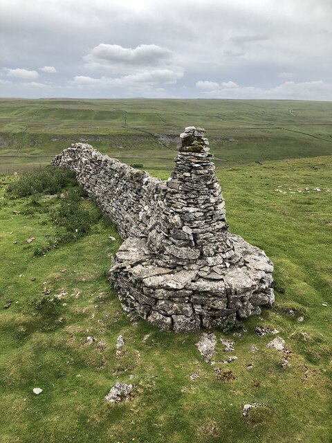
Brough Pasture is also home to a number of historical landmarks, such as ancient burial mounds and stone circles, providing a glimpse into the area's rich past. These remnants of prehistoric settlements add an air of mystery and intrigue to the already captivating landscape.
Nature lovers will be delighted by the presence of rare plant species, such as the Yorkshire Lady's Slipper orchid, which can be found in the area. The vibrant colors of wildflowers, including heather and bluebells, add a touch of beauty to the already picturesque scenery.
Overall, Brough Pasture is a truly enchanting destination, offering visitors a chance to immerse themselves in the natural beauty and rich history of Yorkshire's Downs and Moorland. Whether hiking, birdwatching, or simply enjoying the serenity of the surroundings, Brough Pasture is a must-visit for those seeking a tranquil escape in the heart of nature.
If you have any feedback on the listing, please let us know in the comments section below.
Brough Pasture Images
Images are sourced within 2km of 54.297611/-2.0963503 or Grid Reference SD9389. Thanks to Geograph Open Source API. All images are credited.


Brough Pasture is located at Grid Ref: SD9389 (Lat: 54.297611, Lng: -2.0963503)
Division: North Riding
Administrative County: North Yorkshire
District: Richmondshire
Police Authority: North Yorkshire
What 3 Words
///fiery.jumpy.mealtime. Near Leyburn, North Yorkshire
Nearby Locations
Related Wikis

Virosidum
Virosidum was a Roman fort and settlement situated near to the modern town of Bainbridge, North Yorkshire, England. The site is a Scheduled monument....

River Bain Hydro
The River Bain Hydro is a hydroelectric generator on the River Bain in the village of Bainbridge, North Yorkshire, England. Its screw turbine powers most...

Addlebrough
Addlebrough is a fell in Wensleydale, North Yorkshire, England. It is 481 m (1,578 ft) high. Bronze Age inhabitants built homes and enclosures on the fell...

Bainbridge, North Yorkshire
Bainbridge is a village and civil parish in North Yorkshire, England. The population of the civil parish at the 2011 census was 480. The village is situated...

River Bain, North Yorkshire
The River Bain is a river in North Yorkshire, England. As a tributary of the River Ure, it is one of the shortest, named rivers in England. The river...
Fors Abbey
Fors Abbey was an abbey in Low Abbotside, Askrigg, North Yorkshire, England.It was built in 1145 for the Savigniac order and converted to the Cistercian...
Cubeck
Cubeck is a hamlet in the Richmondshire district of North Yorkshire, England. It is near Thornton Rust and Worton. == External links == Media related...

Askrigg railway station
Askrigg railway station is a disused railway station in North Yorkshire, England and served the village of Askrigg. It was part of the Wensleydale Railway...
Nearby Amenities
Located within 500m of 54.297611,-2.0963503Have you been to Brough Pasture?
Leave your review of Brough Pasture below (or comments, questions and feedback).