Bracken Hill

Hill, Mountain in Yorkshire Richmondshire

England

Bracken Hill

Benchmark on barn off north side of A684 beside road to Abattoir Ordnance Survey cut mark benchmark levelled at  230.698m above Newlyn Datum in 1971. See <span class="nowrap"><a title="www.bench-marks.org.uk/bm27814" rel="nofollow ugc noopener" href="http://www.bench-marks.org.uk/bm27814">Link</a><img style="margin-left:2px;" alt="External link" title="External link - shift click to open in new window" src="https://s1.geograph.org.uk/img/external.png" width="10" height="10"/></span>
Benchmark on barn off north side of A684 beside road to Abattoir Credit: Roger Templeman

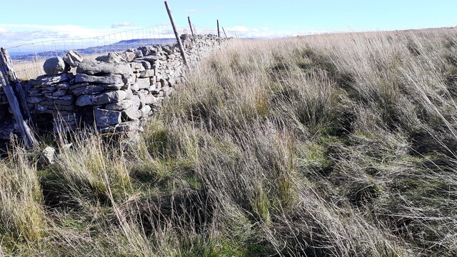
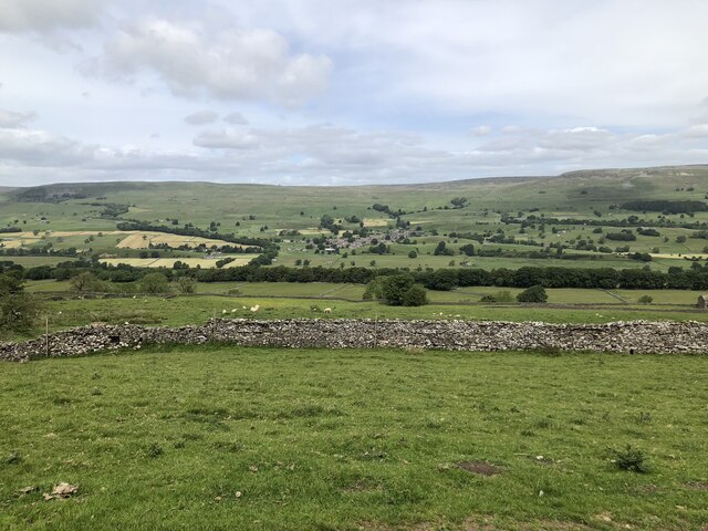
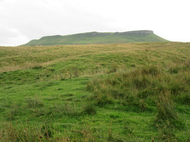
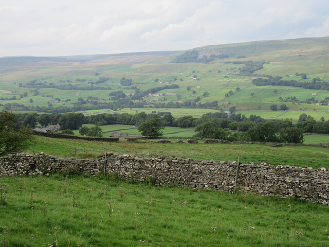
Bracken Hill is a picturesque hill located in the county of Yorkshire, England. Situated in the northern part of the region, it forms part of the stunning Pennine range and offers breathtaking views of the surrounding countryside. Rising to an elevation of approximately 400 meters (1,300 feet), it is considered a notable landmark in the area.

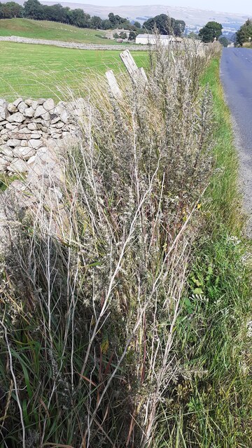
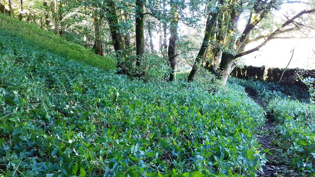
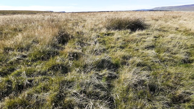
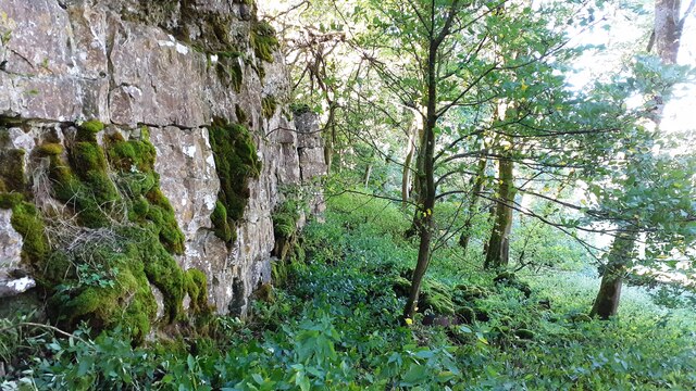
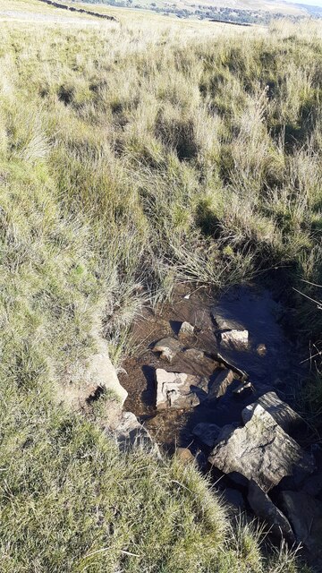
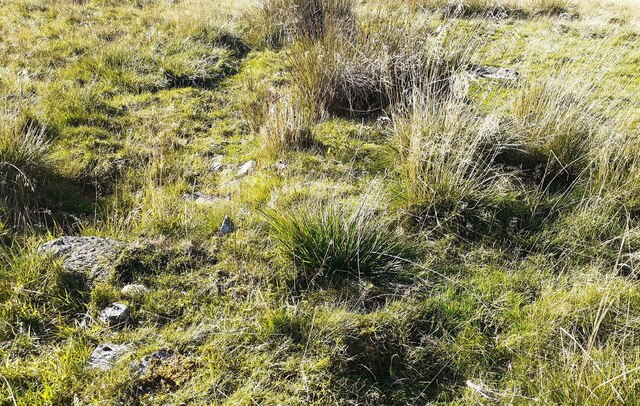
The hill is covered in a dense growth of bracken ferns, which gives it its name. These vibrant green plants create a unique and captivating landscape, particularly during the summer months when they are in full bloom. The hill is also adorned with a variety of other plant species, including heather, gorse, and an array of wildflowers, adding to its natural beauty.

Bracken Hill is a popular destination for outdoor enthusiasts and nature lovers. Its extensive network of walking trails allows visitors to explore its slopes and enjoy the stunning panoramic views of the Yorkshire Dales. The hill also offers opportunities for birdwatching, with various species of birds, including kestrels and buzzards, often spotted in the area.

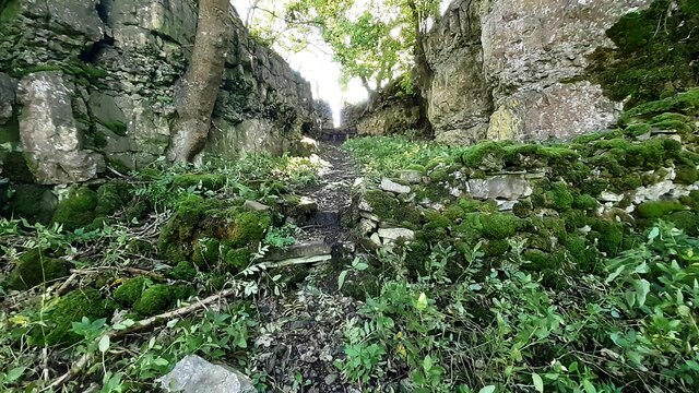
In addition to its natural splendor, Bracken Hill holds historical significance. It is rumored to have been a site of ancient settlements, with remnants of prehistoric burial mounds and stone circles discovered nearby. These archaeological findings add an element of intrigue and mystery to the hill, attracting history enthusiasts and researchers alike.

Overall, Bracken Hill in Yorkshire is a captivating natural landmark that offers visitors a chance to immerse themselves in the beauty of the English countryside, while also providing a glimpse into the region's rich history.

If you have any feedback on the listing, please let us know in the comments section below.
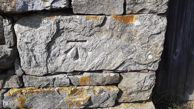
Bracken Hill Images

Images are sourced within 2km of 54.297055/-2.1056908 or Grid Reference SD9389. Thanks to Geograph Open Source API. All images are credited.

Benchmark on barn off north side of A684 beside road to Abattoir Ordnance Survey cut mark benchmark levelled at  230.698m above Newlyn Datum in 1971. See <span class="nowrap"><a title="www.bench-marks.org.uk/bm27814" rel="nofollow ugc noopener" href="http://www.bench-marks.org.uk/bm27814">Link</a><img style="margin-left:2px;" alt="External link" title="External link - shift click to open in new window" src="https://s1.geograph.org.uk/img/external.png" width="10" height="10"/></span>
Benchmark on barn off north side of A684 beside road to Abattoir
Ordnance Survey cut mark benchmark levelled at 230.698m above Newlyn Datum in 1971. See LinkExternal link
Stone barn off north side of A684 beside road to abattoir There is an Ordnance Survey benchmark <a href="https://www.geograph.org.uk/photo/6958852">SD9189 : Benchmark on barn off north side of A684 beside road to Abattoir</a> on a stone on the front of the barn on the left hand side of its door
Stone barn off north side of A684 beside road to abattoir
There is an Ordnance Survey benchmark SD9189 : Benchmark on barn off north side of A684 beside road to Abattoir on a stone on the front of the barn on the left hand side of its door
Junction of dry stone walls on NW side of A684 at Butter Hill Ordnance Survey records indicate that a benchmark was levelled at 228.910m above Newlyn Datum in 1971 on a bolt set in a concrete block buried at the wall junction
Junction of dry stone walls on NW side of A684 at Butter Hill
Ordnance Survey records indicate that a benchmark was levelled at 228.910m above Newlyn Datum in 1971 on a bolt set in a concrete block buried at the wall junction
Footpath through wood below Brough Scar
Corner of dry stone wall on Thornton Rust Moor
Open moorland on Worton Pasture
Footpath passing through gap in Brough Scar
Looking west along Brough Scar
A stream on Worton Pasture
Remains of a building on Worton Pasture?
Countersett, Holly House barn The barn is on the east side of the road. The benchmark is cut into a left hand cornerstone and remains as crisp as the day it was cut.
Countersett, Holly House barn
The barn is on the east side of the road. The benchmark is cut into a left hand cornerstone and remains as crisp as the day it was cut.
Countersett, Holly House barn The barn is on the east side of the road. There is a benchmark cut into a left hand cornerstone and remains as crisp as the day it was cut.
Countersett, Holly House barn
The barn is on the east side of the road. There is a benchmark cut into a left hand cornerstone and remains as crisp as the day it was cut.
Wensleydale View of Wensleydale from lower slopes of Addlebrough. The treeline in the middle distance is Worton Scar, and the small town of Askrigg can be seen in the centre of the image.
Wensleydale
View of Wensleydale from lower slopes of Addlebrough. The treeline in the middle distance is Worton Scar, and the small town of Askrigg can be seen in the centre of the image.
Addlebrough Prominent fell on the south side of Wensleydale with two areas of ancient settlement remains.
Addlebrough
Prominent fell on the south side of Wensleydale with two areas of ancient settlement remains.
Addlebrough Looking towards Addlebrough from Carpley Green Road.
Addlebrough
Looking towards Addlebrough from Carpley Green Road.
Semer Water Semer Water viewed from Carpley Green Road.
Semer Water
Semer Water viewed from Carpley Green Road.
The north side of Addlebrough Looking up at the north side of Addlebrough.
The north side of Addlebrough
Looking up at the north side of Addlebrough.
Near Cubeck Looking across Wensleydale near Cubeck.
Near Cubeck
Looking across Wensleydale near Cubeck.
Show me another place!

Bracken Hill is located at Grid Ref: SD9389 (Lat: 54.297055, Lng: -2.1056908)

Division: North Riding

Administrative County: North Yorkshire

District: Richmondshire

Police Authority: North Yorkshire

What 3 Words

///beginning.type.starlight. Near Leyburn, North Yorkshire

Related Wikis

River Bain Hydro

The River Bain Hydro is a hydroelectric generator on the River Bain in the village of Bainbridge, North Yorkshire, England. Its screw turbine powers most...

Virosidum

Virosidum was a Roman fort and settlement situated near to the modern town of Bainbridge, North Yorkshire, England. The site is a Scheduled monument....

Bainbridge, North Yorkshire

Bainbridge is a village and civil parish in North Yorkshire, England. The population of the civil parish at the 2011 census was 480. The village is situated...

Addlebrough

Addlebrough is a fell in Wensleydale, North Yorkshire, England. It is 481 m (1,578 ft) high. Bronze Age inhabitants built homes and enclosures on the fell...

River Bain, North Yorkshire

The River Bain is a river in North Yorkshire, England. As a tributary of the River Ure, it is one of the shortest, named rivers in England. The river...

Fors Abbey

Fors Abbey was an abbey in Low Abbotside, Askrigg, North Yorkshire, England.It was built in 1145 for the Savigniac order and converted to the Cistercian...

Countersett

Countersett is the largest of the three settlements in Raydale, around Semerwater in the Richmondshire district of North Yorkshire, England. It is in the...

Askrigg railway station

Askrigg railway station is a disused railway station in North Yorkshire, England and served the village of Askrigg. It was part of the Wensleydale Railway...

Nearby Amenities

Located within 500m of 54.297055,-2.1056908
Barrier: stile
Lat/Long: 54.2928867/-2.1085944
Gill Edge
Place: farm
Source: os_25k_firstseries
Lat/Long: 54.2984883/-2.1122637
Bracken Hill
Natural: peak
Source: NPE;os_25k_firstseries
Lat/Long: 54.2973863/-2.1047536
Out Brough
Place: locality
Source: os_25k_firstseries
Lat/Long: 54.3004205/-2.1042028
Communication Mobile Phone: yes
Communication Radio: yes
Man Made: mast
Source: survey
Tower Construction: freestanding
Tower Type: communication
Lat/Long: 54.2991343/-2.1011014
Barrier: cattle_grid
Source: survey
Lat/Long: 54.2988976/-2.1010872
Barrier: stile
Lat/Long: 54.2977466/-2.1051833
Barrier: stile
Lat/Long: 54.2944672/-2.1075834
Barrier: stile
Lat/Long: 54.2935631/-2.1080897
Power: pole
Lat/Long: 54.2983682/-2.1125247
Power: pole
Lat/Long: 54.2978469/-2.1129538
Power: pole
Lat/Long: 54.299074/-2.1054535
Power: pole
Lat/Long: 54.2986332/-2.1064421
Power: pole
Lat/Long: 54.2982085/-2.1074534
Power: pole
Lat/Long: 54.2978073/-2.1083919
Power: pole
Lat/Long: 54.2977941/-2.1103567
Power: pole
Lat/Long: 54.2977912/-2.111511
The data included in this document is from www.openstreetmap.org. The data is made available under ODbL.

Have you been to Bracken Hill?

Leave your review of Bracken Hill below (or comments, questions and feedback).