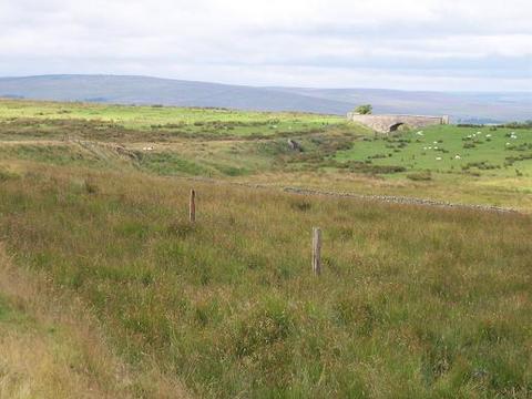
Ray Tongue

Downs, Moorland in Northumberland

England

Ray Tongue

Bridge over the Risey Burn Carrying the dismantled Wanney Line which ran from Morpeth into Scotland. Behind are the piers of a former footbridge over the line. The line is now used as a farm access.
Bridge over the Risey Burn Credit: Mick Garratt

The requested URL returned error: 429 Too Many Requests

If you have any feedback on the listing, please let us know in the comments section below.
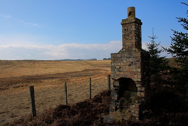
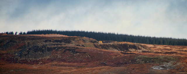
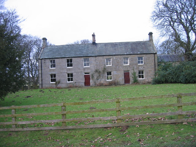
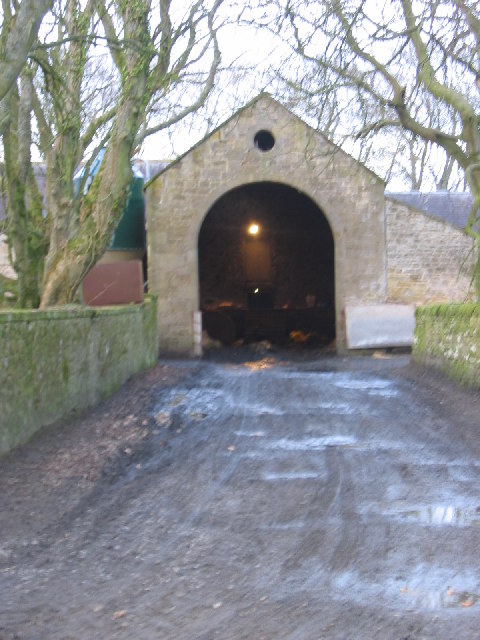
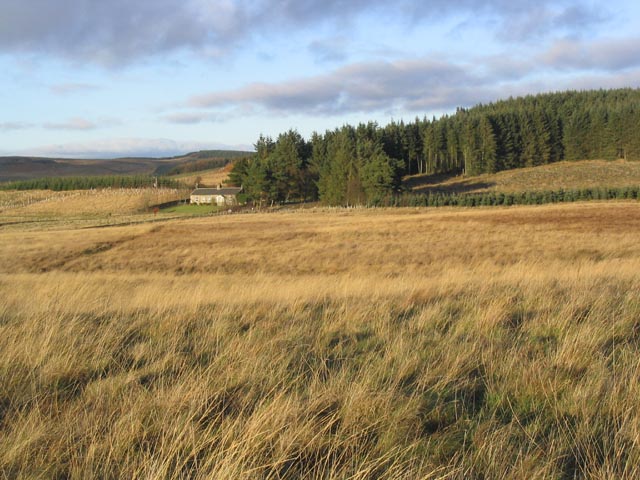
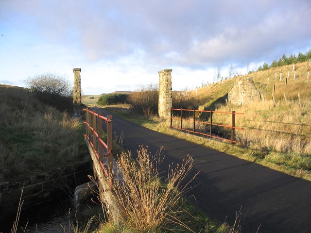
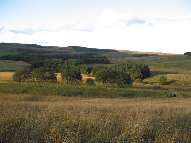
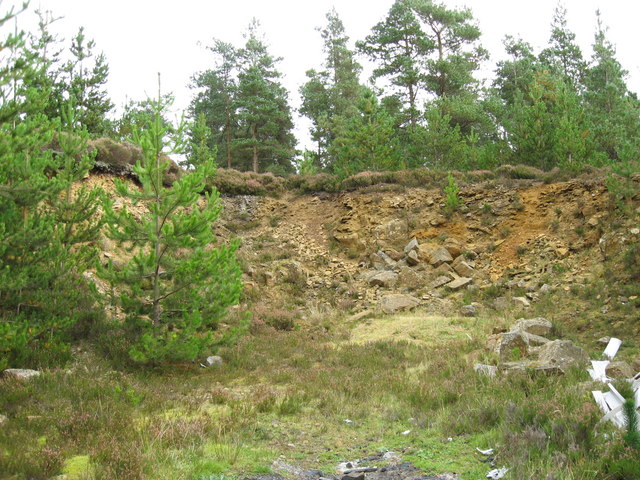
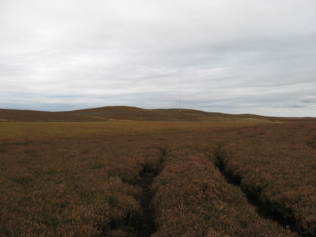
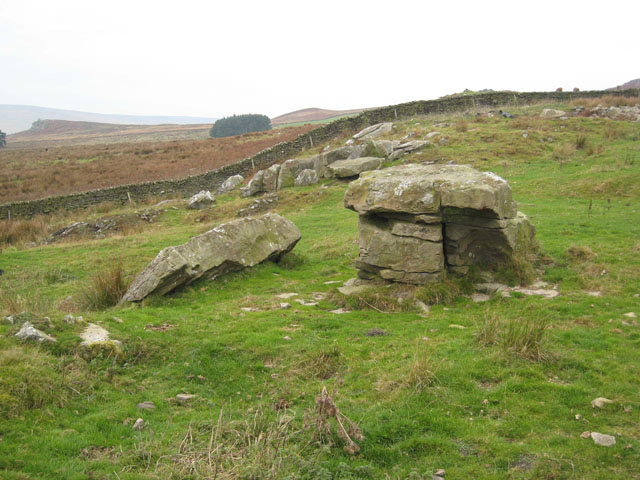
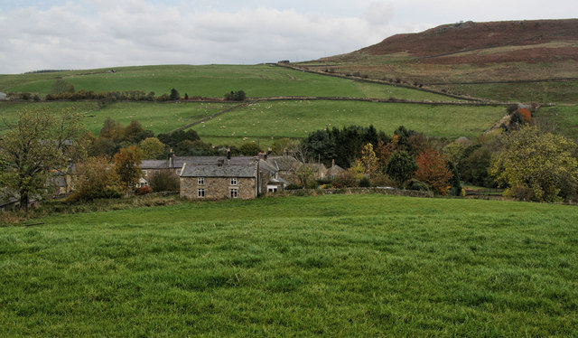
Ray Tongue Images

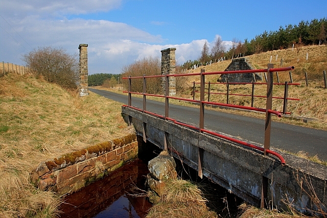
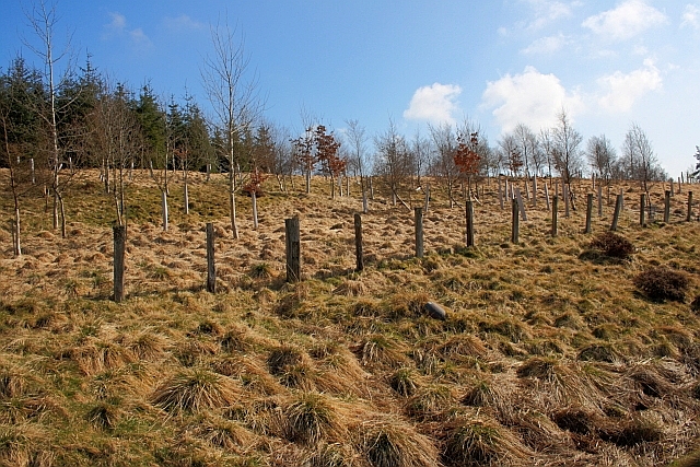
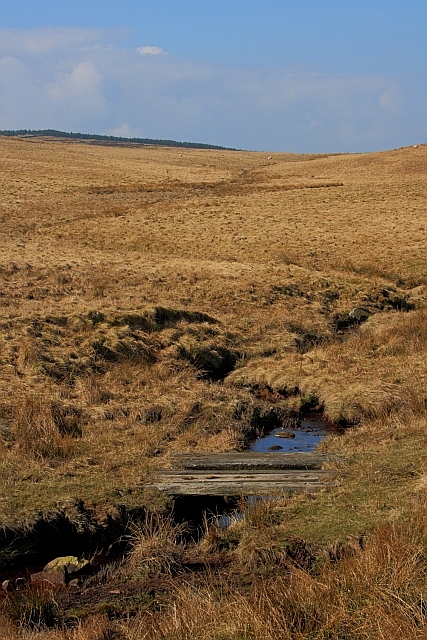
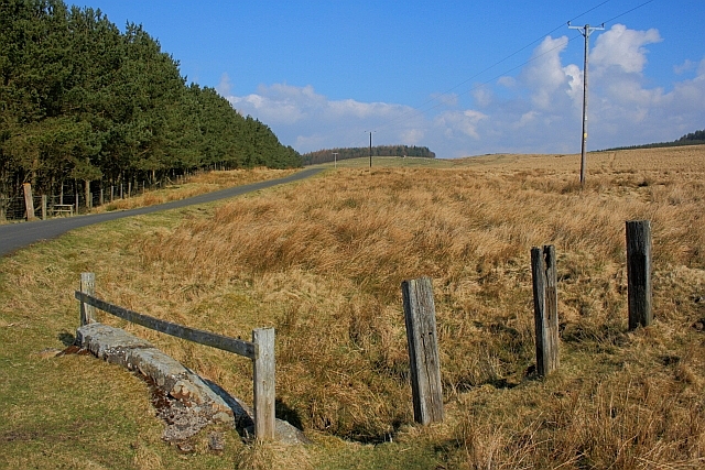
Images are sourced within 2km of 55.168119/-2.0985066 or Grid Reference NY9385. Thanks to Geograph Open Source API. All images are credited.

Bridge over the Risey Burn Carrying the dismantled Wanney Line which ran from Morpeth into Scotland. Behind are the piers of a former footbridge over the line. The line is now used as a farm access.
Bridge over the Risey Burn
Carrying the dismantled Wanney Line which ran from Morpeth into Scotland. Behind are the piers of a former footbridge over the line. The line is now used as a farm access.
Newly Planted Trees near Summit Cottage
Looking up Towards Cold Law
Old Fence near Midge Hole
Remains of Lineside Hut Relic of the former railway which ran from Morpeth into Scotland.
Remains of Lineside Hut
Relic of the former railway which ran from Morpeth into Scotland.
High Nick High Nick Quarry on East Woodburn Common.
High Nick
High Nick Quarry on East Woodburn Common.
Whetstone House Farm Unusual farmhouse or rather two there is also an impressive building that once houses a threshing machine.
Whetstone House Farm
Unusual farmhouse or rather two there is also an impressive building that once houses a threshing machine.
Whetstone Farm former barn for storing threshing machine
Bridge over disused railway on Stridehill Common, Northumberland This bridge carries a public footpath over the former Wansbeck Valley Railway that linked Redesmouth (local spelling) to Morpeth. It was opened between Reedsmouth (railway spelling) and Scotsgap by the North British Railway in 1865. About a mile further east at Summit Cottages the line reached a height of over 850ft asl.
Passenger trains were withdrawn in 1952 but the line east of Woodburn remained open for goods traffic until 1965.
Bridge over disused railway on Stridehill Common, Northumberland
This bridge carries a public footpath over the former Wansbeck Valley Railway that linked Redesmouth (local spelling) to Morpeth. It was opened between Reedsmouth (railway spelling) and Scotsgap by the North British Railway in 1865. About a mile further east at Summit Cottages the line reached a height of over 850ft asl. Passenger trains were withdrawn in 1952 but the line east of Woodburn remained open for goods traffic until 1965.
Summit Cottages Viewed from a minor road.
Summit Cottages
Viewed from a minor road.
Bridge over the Risey Burn This road runs on the line of a dismantled railway. The stone pillars and abutment beyond the bridge are the remains of a footbridge over the former line. A short distance from Summit Cottages.
Bridge over the Risey Burn
This road runs on the line of a dismantled railway. The stone pillars and abutment beyond the bridge are the remains of a footbridge over the former line. A short distance from Summit Cottages.
Hepple Heugh north-east View
Sonsy Nook Sonsy Nook means, in effect, cleavage and is found between the paps of Cold Law and Nether Pike.  The embankment of the former 'Wanney line' railway can be seen, with a 'creep' under the trackbed at the right of the photograph.
Sonsy Nook
Sonsy Nook means, in effect, cleavage and is found between the paps of Cold Law and Nether Pike. The embankment of the former 'Wanney line' railway can be seen, with a 'creep' under the trackbed at the right of the photograph.
Disused quarry OS Outdoor Leisure 42 shows a disused quarry near Ray Fell.  It appears that this was a borrow pit for local construction, but I have been unable to find any further information on this quarry.
Disused quarry
OS Outdoor Leisure 42 shows a disused quarry near Ray Fell. It appears that this was a borrow pit for local construction, but I have been unable to find any further information on this quarry.
Ray Fell It is currently proposed to construct a large-scale windfarm on Ray Fell.  The anemometry mast being used to assess the viability of such a project is in the centre of the photograph.
Ray Fell
It is currently proposed to construct a large-scale windfarm on Ray Fell. The anemometry mast being used to assess the viability of such a project is in the centre of the photograph.
Former railway hut The fire grate and chimney breast are all that remain of this railway hut on the former 'Wanney line' railway.  The trackbed is to the right of the remains.
Former railway hut
The fire grate and chimney breast are all that remain of this railway hut on the former 'Wanney line' railway. The trackbed is to the right of the remains.
Successive tree planting Tree planting to the north of disused railway line.  The latest planting uses tree shelters so is unlikely to be coniferous.
Successive tree planting
Tree planting to the north of disused railway line. The latest planting uses tree shelters so is unlikely to be coniferous.
Rocky outcrops on East Woodburn Common Alongside the bridleway running to Hartside; above Blakelaw.
Rocky outcrops on East Woodburn Common
Alongside the bridleway running to Hartside; above Blakelaw.
Show me another place!

Ray Tongue is located at Grid Ref: NY9385 (Lat: 55.168119, Lng: -2.0985066)

Unitary Authority: Northumberland

Police Authority: Northumbria

What 3 Words

///flattered.ballroom.decisive. Near Corsenside, Northumberland

Nearby Locations

Ray Tongue

Related Wikis

East Woodburn

East Woodburn is a village located in Northumberland, England. Located on the A68 road just south of Darney Crag, it was created in conjunction with the...

Sweethope Loughs

Sweethope Loughs are two freshwater lakes almost 1 mile (1.6 km) in length, the smaller one just east of the larger, in the southern part of Northumberland...

Woodburn railway station

Woodburn was a stone-built railway station with substantial goods sidings in Northumberland, on the Wansbeck Railway between Morpeth and Reedsmouth. It...

West Woodburn

West Woodburn is a village in north-western Northumberland, England. The 2001 census recorded a population of 492 in the parish of Corsenside, of which...

Nearby Amenities

Located within 500m of 55.168119,-2.0985066
Passing Place
Lat/Long: 55.1656938/-2.1033775
Barrier: cattle_grid
Lat/Long: 55.1708461/-2.102847
Barrier: cattle_grid
Lat/Long: 55.1665091/-2.1033893
The data included in this document is from www.openstreetmap.org. The data is made available under ODbL.

Have you been to Ray Tongue?

Leave your review of Ray Tongue below (or comments, questions and feedback).