Busk Moss
Downs, Moorland in Yorkshire Richmondshire
England
Busk Moss
Busk Moss is a region located in the county of Yorkshire, England. It is situated in the northern part of the county, specifically within the Yorkshire Downs and Moorland area. The region is known for its stunning natural beauty, characterized by vast stretches of open moorland and rolling hills.
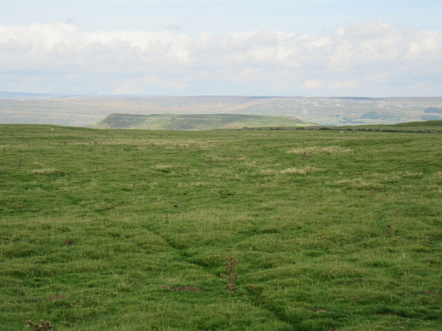
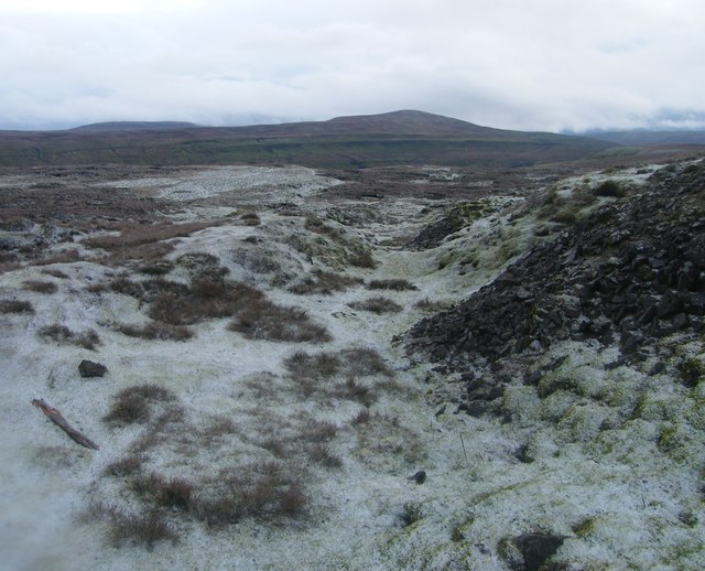
The landscape of Busk Moss is dominated by heather-covered moors, interspersed with patches of boggy marshes and small streams. The area is home to a diverse range of plant and animal species, including several rare and protected species. The moorland is particularly renowned for its vibrant display of purple heather during the summer months, attracting visitors and nature enthusiasts from far and wide.
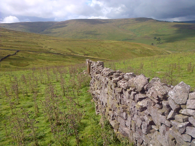
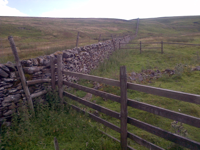
The Yorkshire Downs, of which Busk Moss is a part, also offer breathtaking views and picturesque scenery. The undulating hills provide ample opportunities for hiking, walking, and exploring the countryside. The region is crisscrossed by a network of footpaths and trails, allowing visitors to immerse themselves in the tranquil surroundings and discover hidden gems along the way.
In addition to its natural beauty, Busk Moss is also home to a number of charming villages and hamlets. These settlements offer a glimpse into the rich history and heritage of the area, with traditional stone houses, quaint churches, and local pubs dotting the landscape.
Overall, Busk Moss, Yorkshire Downs, and Moorland are a haven for nature lovers and those seeking a peaceful retreat. Its unspoiled landscapes, diverse wildlife, and picturesque villages make it a must-visit destination for anyone wanting to experience the true beauty of rural Yorkshire.
If you have any feedback on the listing, please let us know in the comments section below.
Busk Moss Images
Images are sourced within 2km of 54.255129/-2.0963585 or Grid Reference SD9384. Thanks to Geograph Open Source API. All images are credited.


Busk Moss is located at Grid Ref: SD9384 (Lat: 54.255129, Lng: -2.0963585)
Division: North Riding
Administrative County: North Yorkshire
District: Richmondshire
Police Authority: North Yorkshire
What 3 Words
///funds.skirting.wink. Near Leyburn, North Yorkshire
Nearby Locations
Related Wikis

Yorkshire Dales
The Yorkshire Dales are an upland area of the Pennines in England. Most of the area is in the county of North Yorkshire, but it extends into Cumbria and...

Stalling Busk
Stalling Busk is one of three settlements around Semer Water in the Richmondshire district of North Yorkshire in the small dale of Raydale just off...

St Matthew's Church, Stalling Busk
St Matthew's Church, Stalling Busk is a Grade II listed parish church in the Church of England in Stalling Busk, North Yorkshire. == History == The church...

Bishopdale, North Yorkshire
Bishopdale is a dale in the Yorkshire Dales National Park in North Yorkshire, England. The dale is a side dale on the south side of Wensleydale, and extends...

Semerwater
Semerwater () is the second largest natural lake in North Yorkshire, England, after Malham Tarn. It is half a mile (800 m) long, covers 100 acres (0.40...

Addlebrough
Addlebrough is a fell in Wensleydale, North Yorkshire, England. It is 481 m (1,578 ft) high. Bronze Age inhabitants built homes and enclosures on the fell...

Marsett
Marsett is one of three settlements in around Semer Water in Raydale, a small side dale off Wensleydale in North Yorkshire, England. Marsett is only a...

Countersett
Countersett is the largest of the three settlements in Raydale, around Semerwater in the Richmondshire district of North Yorkshire, England. It is in the...
Nearby Amenities
Located within 500m of 54.255129,-2.0963585Have you been to Busk Moss?
Leave your review of Busk Moss below (or comments, questions and feedback).