Kirkhill Moss
Downs, Moorland in Aberdeenshire
Scotland
Kirkhill Moss

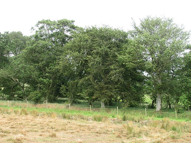
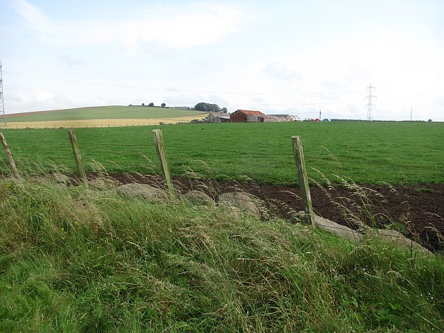
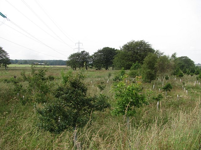
Kirkhill Moss is a picturesque area located in Aberdeenshire, Scotland. It is a downs and moorland region that stretches across approximately 200 acres of land. The moss is situated near the village of Kirkhill, which is known for its tranquil surroundings and stunning natural beauty.
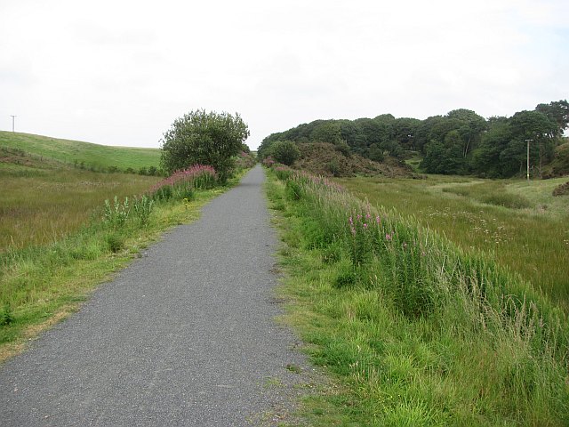
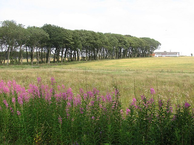
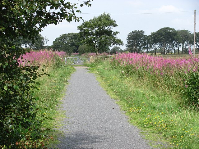
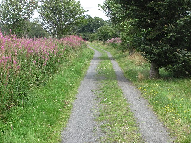
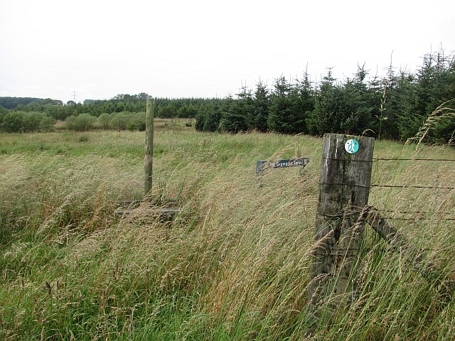
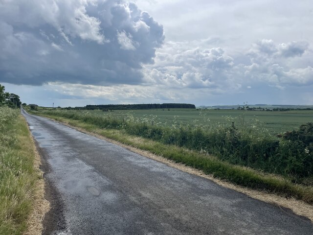
The landscape of Kirkhill Moss is characterized by rolling hills and expansive stretches of open moorland. The area is covered in a variety of vegetation, including heather, grasses, and scattered shrubs. The diverse plant life provides a vibrant display of colors, particularly during the summer months when the heather blooms in rich purples and pinks.
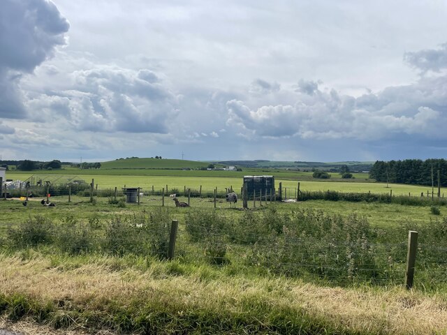
The moss is home to a wide range of wildlife, making it a popular spot for nature enthusiasts and bird watchers. Visitors can spot various bird species, such as curlews, lapwings, and skylarks, which nest and feed in the area. The moss also provides a habitat for small mammals, including voles and rabbits, as well as reptiles and amphibians like adders and frogs.
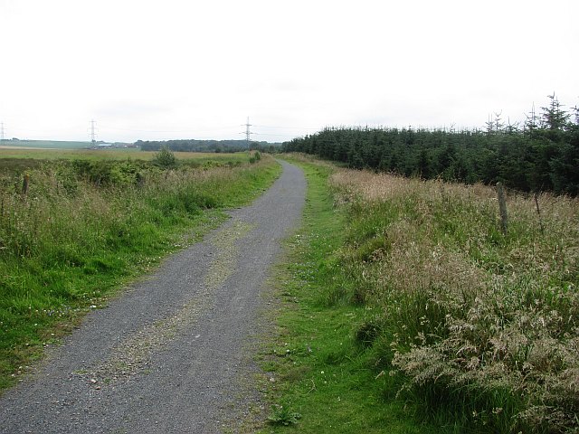
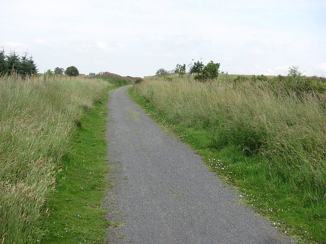
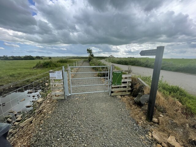
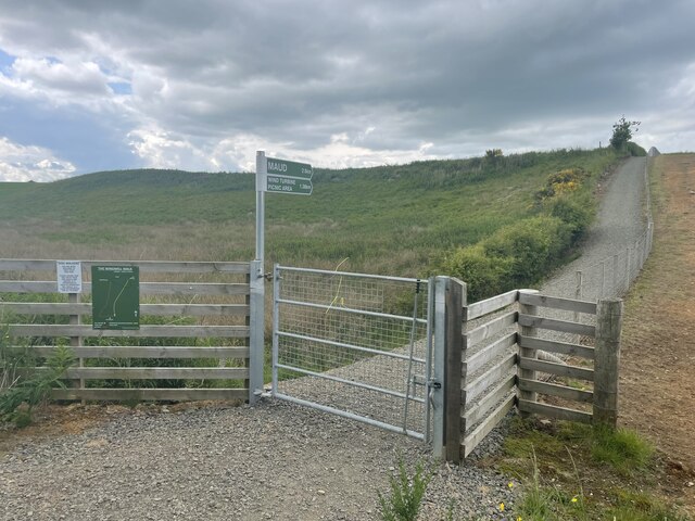
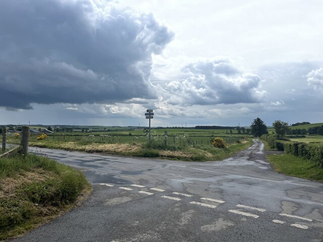
The area is crisscrossed by walking trails, allowing visitors to explore the moss and its surroundings at their own pace. These trails provide breathtaking views of the surrounding countryside and offer an opportunity to immerse oneself in nature. Additionally, the moss is a designated Site of Special Scientific Interest (SSSI), highlighting its ecological importance and significance.
In conclusion, Kirkhill Moss in Aberdeenshire is a captivating downs and moorland region, showcasing the natural beauty and biodiversity of the Scottish countryside. Its stunning landscape, diverse flora and fauna, and well-maintained trails make it a must-visit destination for those seeking a peaceful and immersive nature experience.
If you have any feedback on the listing, please let us know in the comments section below.
Kirkhill Moss Images
Images are sourced within 2km of 57.496008/-2.1184386 or Grid Reference NJ9345. Thanks to Geograph Open Source API. All images are credited.

Kirkhill Moss is located at Grid Ref: NJ9345 (Lat: 57.496008, Lng: -2.1184386)
Unitary Authority: Aberdeenshire
Police Authority: North East
What 3 Words
///cricket.taller.rumble. Near Mintlaw, Aberdeenshire
Nearby Locations
Related Wikis

Clackriach Castle
Clackriach Castle was a 16th-century tower house, about 11 miles (18 km) north of Ellon, Aberdeenshire, Scotland, and 1 mile (1.6 km) south-east of Maud...

Maud Hospital
Maud Hospital was a small hospital providing psychogeriatric services in Maud, Aberdeenshire. It was managed by NHS Grampian. == History == The hospital...
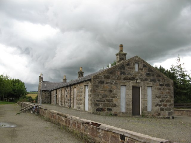
Maud Junction railway station
Maud Junction railway station was a railway station in Maud, Aberdeenshire, Scotland, now housing the Maud Railway Museum. It was a junction where the...

Maud, Aberdeenshire
Maud (Scottish Gaelic: Am Mòd) is a village in the Buchan area of the Scottish county of Aberdeenshire, with a population of 780 (2006 estimate). Located...
Nearby Amenities
Located within 500m of 57.496008,-2.1184386Have you been to Kirkhill Moss?
Leave your review of Kirkhill Moss below (or comments, questions and feedback).