Bulwark

Settlement in Aberdeenshire

Scotland

Bulwark

North Greenbrae and Little Elrick North Greenbrae and Little Elrick as seen from the Formartine and Buchan Way. The old railway fencing still seems to be in use.
North Greenbrae and Little Elrick Credit: Richard Webb

Bulwark is a small village located in Aberdeenshire, Scotland. Situated along the northeastern coast of the country, it is part of the picturesque region known for its stunning landscapes and rich history. The village is nestled between the larger towns of Peterhead and Fraserburgh, offering residents and visitors a peaceful and charming atmosphere.

Bulwark is renowned for its beautiful sandy beaches, which attract tourists during the summer months. The coastline provides breathtaking views of the North Sea, and beachgoers can enjoy activities such as swimming, sunbathing, and long walks along the shore. The village is also a popular spot for fishing enthusiasts, who can try their luck in the abundant waters.

In terms of amenities, Bulwark offers a range of services to its residents. The village has a local primary school, providing education for the younger population, and there are several shops and local businesses that cater to the needs of the community. Additionally, the village is well-connected to the nearby towns and cities by road, making it easily accessible for commuters.

Bulwark is a close-knit community, with a friendly and welcoming atmosphere. Residents often come together to organize events and activities, fostering a strong sense of community spirit. The surrounding area offers opportunities for outdoor pursuits, such as hiking and cycling, with various nature trails and parks nearby.

Overall, Bulwark is a charming village that offers a tranquil escape from the busy urban life. With its stunning coastline, friendly community, and natural beauty, it is a hidden gem within Aberdeenshire.

If you have any feedback on the listing, please let us know in the comments section below.
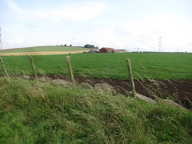
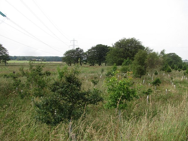
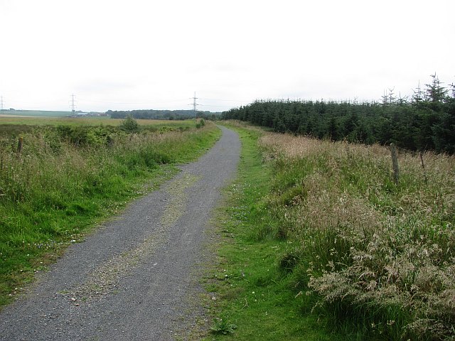
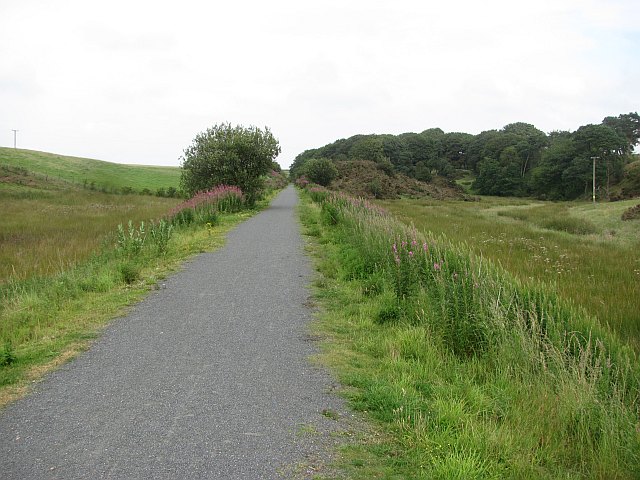
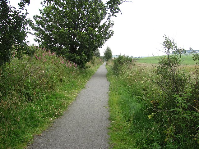
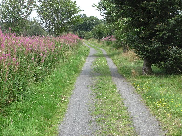
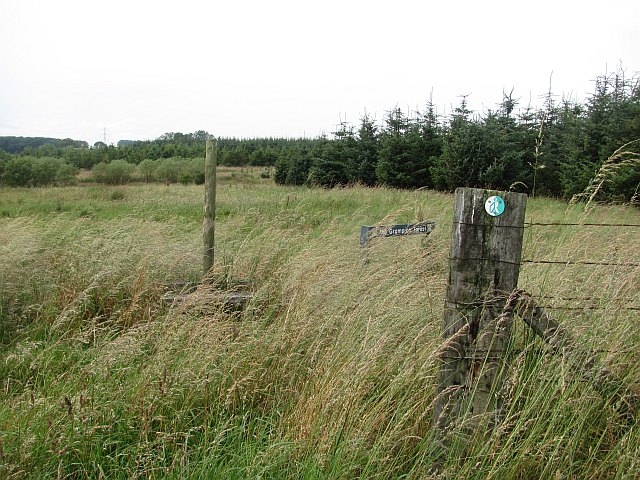
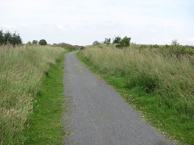
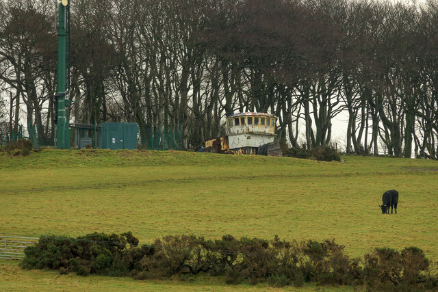
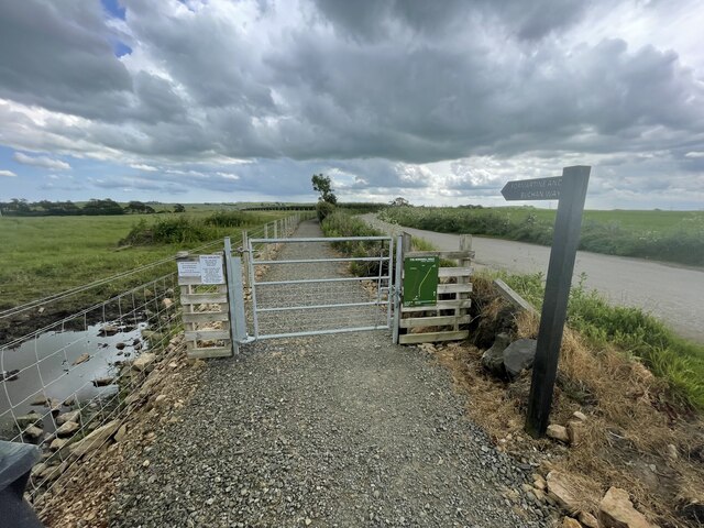
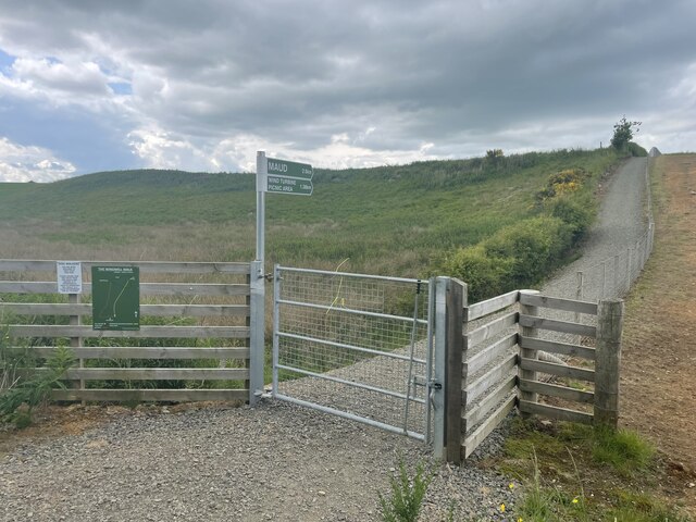
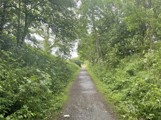
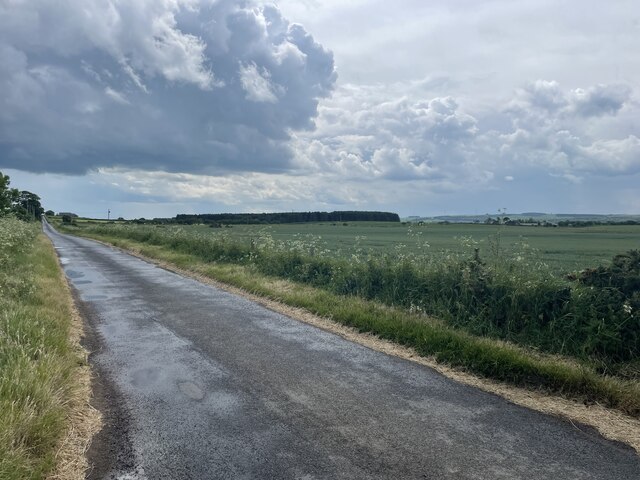
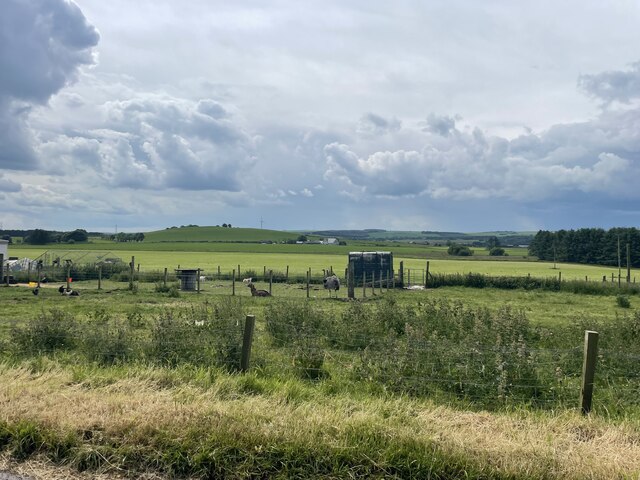
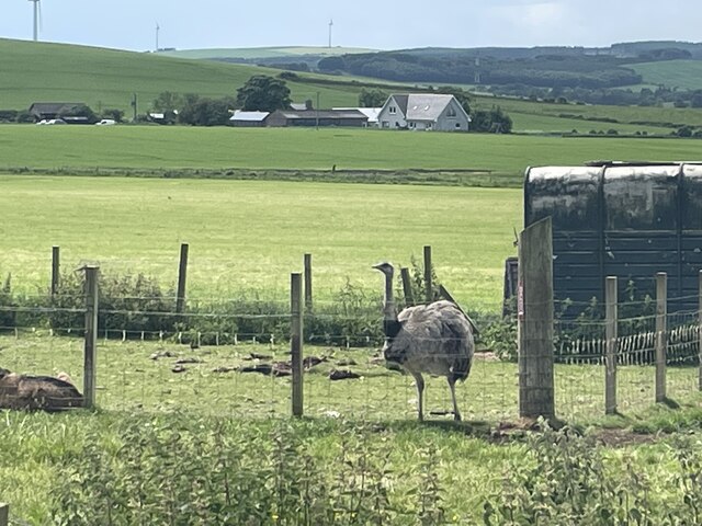
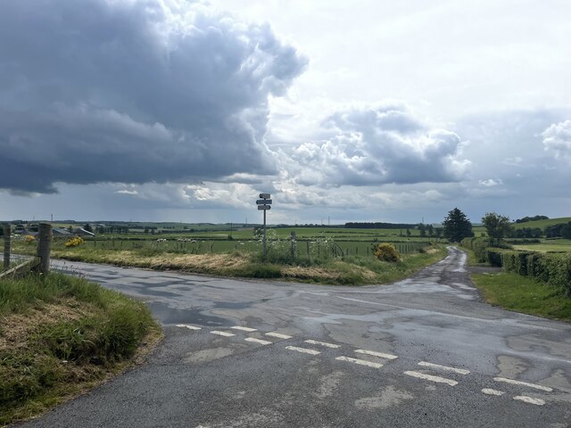
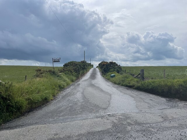
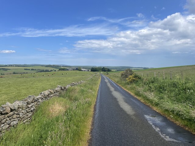
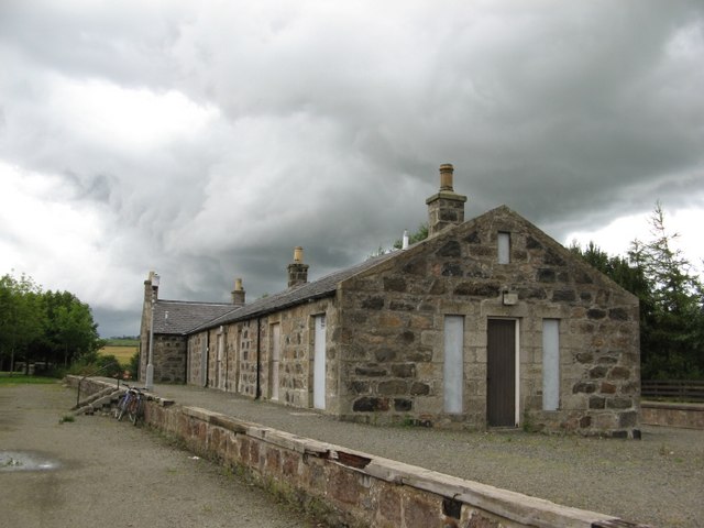
Bulwark Images

Images are sourced within 2km of 57.501372/-2.1160866 or Grid Reference NJ9345. Thanks to Geograph Open Source API. All images are credited.

North Greenbrae and Little Elrick North Greenbrae and Little Elrick as seen from the Formartine and Buchan Way. The old railway fencing still seems to be in use.
North Greenbrae and Little Elrick
North Greenbrae and Little Elrick as seen from the Formartine and Buchan Way. The old railway fencing still seems to be in use.
Young woodland Young woodland beside the Formartine and Buchan Way. The powerline runs from Peterhead power station.
Young woodland
Young woodland beside the Formartine and Buchan Way. The powerline runs from Peterhead power station.
Formartine and Buchan  Way The trackbed between Auchnagatt and Maud has been improved and is wider and easier to ride than much of the route south of Ellon. 
The young woodland is signed "The Grampian Forest".
Formartine and Buchan Way
The trackbed between Auchnagatt and Maud has been improved and is wider and easier to ride than much of the route south of Ellon. The young woodland is signed "The Grampian Forest".
Formartine and Buchan  Way, Den of Old Maud The railway trackbed, now a well surfaced path (well this bit is, I have heard tales that it is not so great past Maud), runs beside a damp valley bottom.
Formartine and Buchan Way, Den of Old Maud
The railway trackbed, now a well surfaced path (well this bit is, I have heard tales that it is not so great past Maud), runs beside a damp valley bottom.
Formartine and Buchan  Way The former railway approaches Maud where the path divides for Peterhead or Fraserburgh. The surface is good here.
Formartine and Buchan Way
The former railway approaches Maud where the path divides for Peterhead or Fraserburgh. The surface is good here.
Formartine and Buchan Way The former railway from Dyce to Maud and on to either Peterhead or Fraserburgh is now a footpath/cycle path. It has not been converted to a road and gives a more interesting but still easy alternative to the usual Sustrans conversions. It is also nearly 90km long. The railway closed in  1979 after a few years as a freight route serving early oilfield development.
Formartine and Buchan Way
The former railway from Dyce to Maud and on to either Peterhead or Fraserburgh is now a footpath/cycle path. It has not been converted to a road and gives a more interesting but still easy alternative to the usual Sustrans conversions. It is also nearly 90km long. The railway closed in 1979 after a few years as a freight route serving early oilfield development.
The Grampian Forest Newly planted woodland, south of Maud.  The Grampian Forest was a government initiative to encourage woodland planting in the Northeast - Buchan does not have a lot of woodland,
The Grampian Forest
Newly planted woodland, south of Maud. The Grampian Forest was a government initiative to encourage woodland planting in the Northeast - Buchan does not have a lot of woodland,
Formartine and Buchan Way A cutting on the old railway to / from Peterhead and Fraserburgh. 

The former railway from Dyce to Maud and on to either Peterhead or Fraserburgh is now a footpath/cycle path. It has not been converted to a road and gives a more interesting but still easy alternative to the usual Sustrans conversions. It is also nearly 90km long.
Formartine and Buchan Way
A cutting on the old railway to / from Peterhead and Fraserburgh. The former railway from Dyce to Maud and on to either Peterhead or Fraserburgh is now a footpath/cycle path. It has not been converted to a road and gives a more interesting but still easy alternative to the usual Sustrans conversions. It is also nearly 90km long.
Wheelhouse on a hill This is the bridge of a fishing boat that was saved from the scrapyard and is now a summerhouse on top of Bank Hill.
Wheelhouse on a hill
This is the bridge of a fishing boat that was saved from the scrapyard and is now a summerhouse on top of Bank Hill.
Roads and gates on a Windmill walk
Windmill walk meets the F&B Way The Formartine and Buchan Way is a long-distance trail in Scotland, extending from Dyce north to Peterhead and Fraserburgh in the Buchan and Formartine districts of Aberdeenshire in Scotland. It follows the track of a former railway line, the Formartine and Buchan Railway, and is open to walkers, cyclists and horse riders.The railway closed in 1979 (Fraserburgh) and 1970 (Maud-Peterhead). The walkway opened in the early 1990s, and is managed by Aberdeenshire Council. It is listed as one of Scotland's Great Trails by NatureScot
64 km (40 mi) to Fraserburgh, plus 21 km (13 mi) spur to Peterhead.
Windmill walk meets the F&B Way
The Formartine and Buchan Way is a long-distance trail in Scotland, extending from Dyce north to Peterhead and Fraserburgh in the Buchan and Formartine districts of Aberdeenshire in Scotland. It follows the track of a former railway line, the Formartine and Buchan Railway, and is open to walkers, cyclists and horse riders.The railway closed in 1979 (Fraserburgh) and 1970 (Maud-Peterhead). The walkway opened in the early 1990s, and is managed by Aberdeenshire Council. It is listed as one of Scotland's Great Trails by NatureScot 64 km (40 mi) to Fraserburgh, plus 21 km (13 mi) spur to Peterhead.
The F&B Way The Formartine and Buchan Way is a long-distance trail in Scotland, extending from Dyce north to Peterhead and Fraserburgh in the Buchan and Formartine districts of Aberdeenshire in Scotland. It follows the track of a former railway line, the Formartine and Buchan Railway, and is open to walkers, cyclists and horse riders.The railway closed in 1979 (Fraserburgh) and 1970 (Maud-Peterhead). The walkway opened in the early 1990s, and is managed by Aberdeenshire Council. It is listed as one of Scotland's Great Trails by NatureScot
64 km (40 mi) to Fraserburgh, plus 21 km (13 mi) spur to Peterhead.
The F&B Way
The Formartine and Buchan Way is a long-distance trail in Scotland, extending from Dyce north to Peterhead and Fraserburgh in the Buchan and Formartine districts of Aberdeenshire in Scotland. It follows the track of a former railway line, the Formartine and Buchan Railway, and is open to walkers, cyclists and horse riders.The railway closed in 1979 (Fraserburgh) and 1970 (Maud-Peterhead). The walkway opened in the early 1990s, and is managed by Aberdeenshire Council. It is listed as one of Scotland's Great Trails by NatureScot 64 km (40 mi) to Fraserburgh, plus 21 km (13 mi) spur to Peterhead.
Backhill of Clackriack Road
Fields of Buchan
Fields of Buchan
An Ostrich in a field
Bulwark crossroads
Bulwark crossroads
Road to a croft
Road to a croft
East Frosty Brae road
Show me another place!

Bulwark is located at Grid Ref: NJ9345 (Lat: 57.501372, Lng: -2.1160866)

Unitary Authority: Aberdeenshire

Police Authority: North East

What 3 Words

///triathlon.weeks.detect. Near Mintlaw, Aberdeenshire

Nearby Locations

Kirkhill Moss Bulwark

Related Wikis

Nearby Amenities

Located within 500m of 57.501372,-2.1160866
Power: pole
Lat/Long: 57.4996823/-2.1235236
Power: pole
Lat/Long: 57.4991827/-2.1228098
Power: pole
Lat/Long: 57.4986581/-2.1220474
Power: pole
Lat/Long: 57.4984271/-2.1217128
Power: pole
Lat/Long: 57.4981494/-2.1213209
Power: pole
Lat/Long: 57.4976783/-2.1206623
Power: pole
Lat/Long: 57.4980607/-2.1198638
Power: pole
Lat/Long: 57.4985808/-2.1187593
Power: pole
Lat/Long: 57.4988481/-2.1182485
Power: pole
Lat/Long: 57.4992692/-2.117424
Power: pole
Lat/Long: 57.4997073/-2.1165536
Power: pole
Lat/Long: 57.4999201/-2.1155497
Power: pole
Lat/Long: 57.5001318/-2.1145352
Power: pole
Lat/Long: 57.5002023/-2.1142239
Power: pole
Lat/Long: 57.5003946/-2.1133662
Power: pole
Lat/Long: 57.5006165/-2.112358
Power: pole
Lat/Long: 57.5008236/-2.1114262
Power: pole
Lat/Long: 57.5010194/-2.1105494
Power: pole
Lat/Long: 57.5013061/-2.109249
Power: pole
Lat/Long: 57.5015439/-2.1082091
Power: pole
Lat/Long: 57.4998666/-2.1138787
Power: pole
Lat/Long: 57.4995275/-2.1135165
Power: pole
Lat/Long: 57.4991622/-2.1130548
Power: pole
Lat/Long: 57.4988049/-2.1126101
Power: pole
Lat/Long: 57.4984203/-2.1121865
Power: pole
Lat/Long: 57.4980368/-2.1117947
Power: pole
Lat/Long: 57.4976874/-2.1113923
Power: pole
Lat/Long: 57.5011548/-2.1128473
Power: pole
Lat/Long: 57.50166/-2.1133217
Power: pole
Lat/Long: 57.5021186/-2.1137241
Power: pole
Lat/Long: 57.5050621/-2.119866
Power: pole
Lat/Long: 57.5043362/-2.1204272
Power: pole
Lat/Long: 57.5036194/-2.1199591
Power: pole
Lat/Long: 57.5029424/-2.1195207
Power: pole
Lat/Long: 57.5028559/-2.1196986
Power: pole
Lat/Long: 57.5023518/-2.1206941
Power: pole
Lat/Long: 57.5018864/-2.1216153
Power: pole
Lat/Long: 57.5013311/-2.1227272
Power: pole
Lat/Long: 57.5010137/-2.1238073
The data included in this document is from www.openstreetmap.org. The data is made available under ODbL.

Have you been to Bulwark?

Leave your review of Bulwark below (or comments, questions and feedback).