Whinberry Flat

Downs, Moorland in Yorkshire

England

Whinberry Flat

Raistrick Greave Farmhouse ruin dating back to the 17th century.
Raistrick Greave Credit: Stephen Shaw

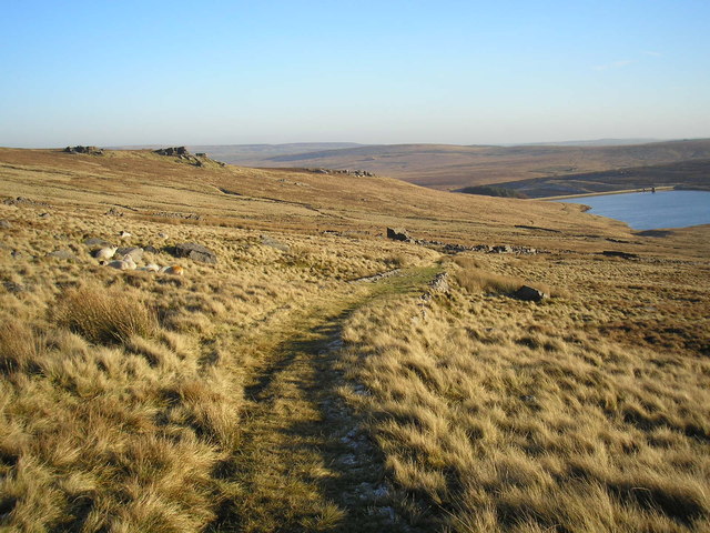
Whinberry Flat is a picturesque area located in Yorkshire, England. Situated amidst the stunning Yorkshire Downs and Moorland, this small region is known for its natural beauty and tranquil surroundings. It is a popular destination for outdoor enthusiasts, offering a plethora of activities and breathtaking views.

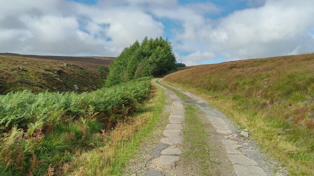
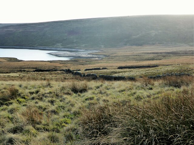
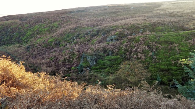
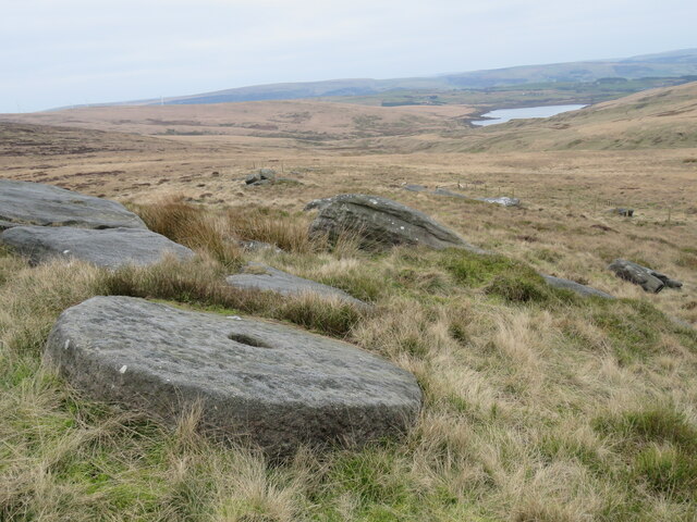
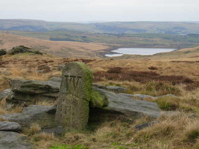
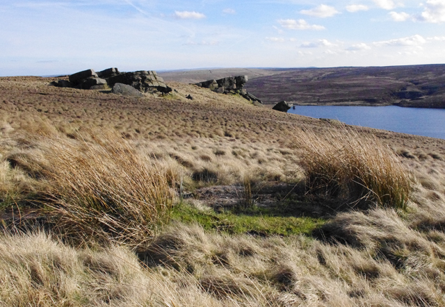
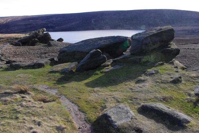
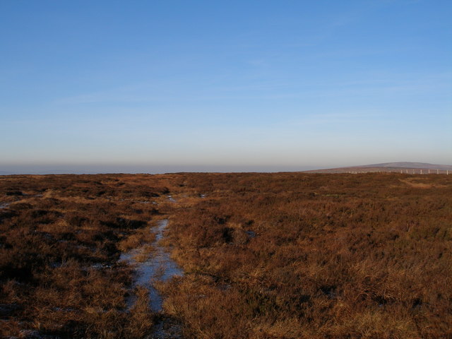
The landscape of Whinberry Flat is characterized by rolling hills covered in heather and bracken, interspersed with patches of dense woodland. The area is home to a diverse range of flora and fauna, making it a haven for nature lovers and wildlife enthusiasts. Visitors can spot various species of birds, including red grouse and golden plovers, as well as small mammals like rabbits and hares.

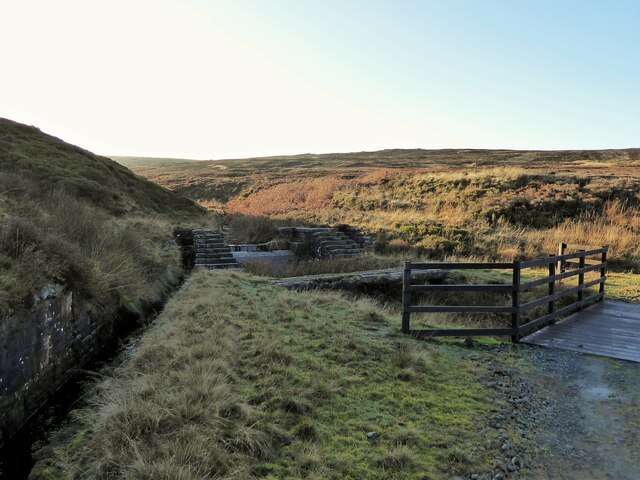
The flat itself is a vast expanse of open land, perfect for long walks, picnics, or simply enjoying the serenity of the surroundings. The peacefulness of the area is enhanced by the absence of major roads or bustling towns nearby, providing a truly immersive experience in nature.

For those seeking a bit more adventure, Whinberry Flat offers opportunities for hiking, mountain biking, and horseback riding. The undulating terrain and well-marked trails cater to all levels of fitness and expertise. Additionally, the nearby moorland provides a challenging landscape for those interested in orienteering or cross-country running.

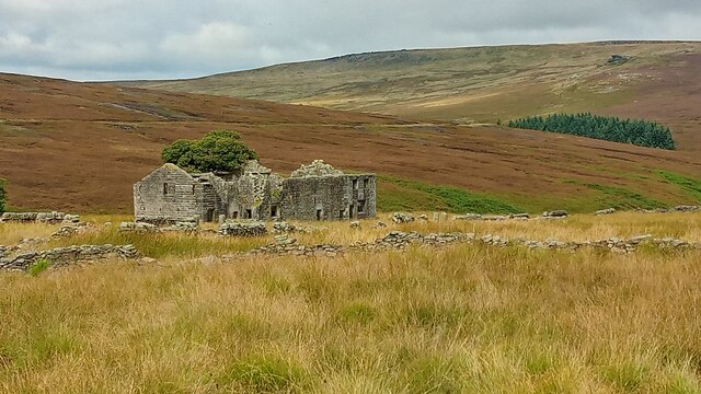
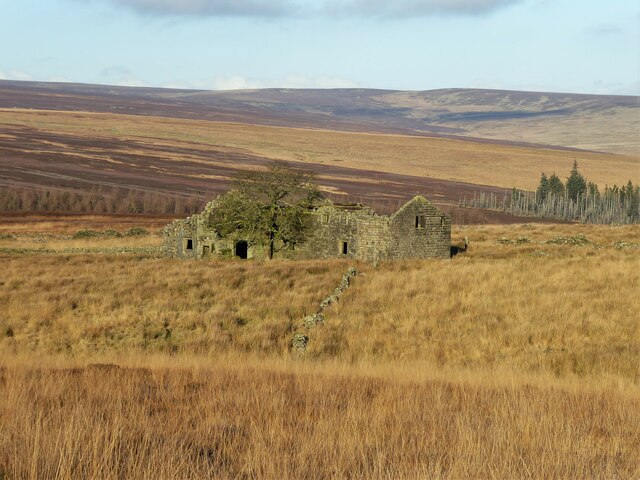
Whinberry Flat is also rich in history and heritage. The ruins of an old mining village can still be found in the area, providing a glimpse into its industrial past. Visitors can explore these remnants and learn about the region's significance during the mining era.

In summary, Whinberry Flat is a captivating destination in Yorkshire, offering a harmonious blend of natural beauty, outdoor activities, and cultural heritage. It is a place where visitors can escape the hustle and bustle of modern life and immerse themselves in the tranquility of the Yorkshire Downs and Moorland.

If you have any feedback on the listing, please let us know in the comments section below.

Whinberry Flat Images

Images are sourced within 2km of 53.772988/-2.1160042 or Grid Reference SD9230. Thanks to Geograph Open Source API. All images are credited.

Raistrick Greave Farmhouse ruin dating back to the 17th century.
Raistrick Greave
Farmhouse ruin dating back to the 17th century.
Reservoir Road. This road links Gorple Lower Res to Gorple Upper Res.
Reservoir Road.
This road links Gorple Lower Res to Gorple Upper Res.
Conifer Plantation at Gorple Between the two reservoirs this plantation has many dead trees on its edges
Conifer Plantation at Gorple
Between the two reservoirs this plantation has many dead trees on its edges
Valve Tower, Gorple Upper Reservoir The water level is recovering after the drought
Valve Tower, Gorple Upper Reservoir
The water level is recovering after the drought
Gorple Bottom View from near the remains of Gorple, the direct path to which from the reservoir had turned into a great bog in the remains of the once farmed fields
Gorple Bottom
View from near the remains of Gorple, the direct path to which from the reservoir had turned into a great bog in the remains of the once farmed fields
Dam on Red Carr Clough The dam and weir seem to create a settlement pond for water draining into the catchment drain for Gorple Upper Reservoir
Dam on Red Carr Clough
The dam and weir seem to create a settlement pond for water draining into the catchment drain for Gorple Upper Reservoir
Remains of Raistrick Greave View from the track besides the Gorple Upper Reservoir catchwater
Remains of Raistrick Greave
View from the track besides the Gorple Upper Reservoir catchwater
Remains of Masonry Pier In the clough of Reaps Water below Gorple Upper Reservoir are the remains of a trestle bridge which carried the reservoir contractor's railway. On the right of this view the cut into the clough side for the railway after the bridge can be seen
Remains of Masonry Pier
In the clough of Reaps Water below Gorple Upper Reservoir are the remains of a trestle bridge which carried the reservoir contractor's railway. On the right of this view the cut into the clough side for the railway after the bridge can be seen
Mill stone abandoned at Hare Stones Abandoned mill stone at Hare Stones. Cant Clough Reservoir in the distance.
Mill stone abandoned at Hare Stones
Abandoned mill stone at Hare Stones. Cant Clough Reservoir in the distance.
Boundary stone above Cant Clough Reservoir Broken boundary stone above Cant Clough Reservoir (and near Hare Stones and the Pennine Bridleway). The "W" on the BS  is probably for Worsthorne Estate.
Boundary stone above Cant Clough Reservoir
Broken boundary stone above Cant Clough Reservoir (and near Hare Stones and the Pennine Bridleway). The "W" on the BS is probably for Worsthorne Estate.
Shuttleworth Moor View towards Gorple Upper Reservoir from the Gorple Gate track.
Shuttleworth Moor
View towards Gorple Upper Reservoir from the Gorple Gate track.
Shuttleworth Moor Gritstone outcrops overlooking Gorple Upper Reservoir.
Shuttleworth Moor
Gritstone outcrops overlooking Gorple Upper Reservoir.
Bench mark, Shuttleworth Moor On a gritstone slab beside the Gorple Gate track.
See <span class="nowrap"><a title="http://www.bench-marks.org.uk/bm37296" rel="nofollow ugc noopener" href="http://www.bench-marks.org.uk/bm37296">Link</a><img style="margin-left:2px;" alt="External link" title="External link - shift click to open in new window" src="https://s1.geograph.org.uk/img/external.png" width="10" height="10"/></span>
Bench mark, Shuttleworth Moor
On a gritstone slab beside the Gorple Gate track. See LinkExternal link
Grouse grit on Shuttleworth Moor One concrete block probably contained medicated grit to treat parasites, the other block contains un-medicated grit. Grit is used to aid digestion of the heather. Game keepers were much in evidence on the moors in preparation for the start of the shooting season in August.
Grouse grit on Shuttleworth Moor
One concrete block probably contained medicated grit to treat parasites, the other block contains un-medicated grit. Grit is used to aid digestion of the heather. Game keepers were much in evidence on the moors in preparation for the start of the shooting season in August.
Spillway at Gorple Upper Reservoir
The track to Gorple The farm track from Gorple road down to the ruins of Gorple Farm. Gorple Reservoir is also visible.
The track to Gorple
The farm track from Gorple road down to the ruins of Gorple Farm. Gorple Reservoir is also visible.
Black Hameldon - northern summit!
Show me another place!

Whinberry Flat is located at Grid Ref: SD9230 (Lat: 53.772988, Lng: -2.1160042)

Division: West Riding

Unitary Authority: Calderdale

Police Authority: West Yorkshire

What 3 Words

///fidgeting.bloom.ballooned. Near Cornholme, West Yorkshire

Related Wikis

Coal Clough Wind Farm

Coal Clough Wind Farm is one of the oldest onshore wind farms in England. The wind farm, which was built for Scottish Power, produced electricity from...

Blake Dean Railway

The Blake Dean Railway was an approximately 5.5 miles (9 km) long 3 ft (914 mm) gauge narrow gauge railway on the edge of Hardcastle Crags Valley in West...

Blackshaw

Blackshaw is a civil parish in the Calderdale metropolitan borough of West Yorkshire, England. It contains the village of Blackshaw Head. According to...

Worsthorne-with-Hurstwood

Worsthorne-with-Hurstwood is a civil parish in the Borough of Burnley, in Lancashire, England. Situated on the eastern outskirts of Burnley, in 2011 it...

Nearby Amenities

Located within 500m of 53.772988,-2.1160042
Turning Circle
Lat/Long: 53.7774151/-2.1146716
The data included in this document is from www.openstreetmap.org. The data is made available under ODbL.

Have you been to Whinberry Flat?

Leave your review of Whinberry Flat below (or comments, questions and feedback).