Hope Fell
Downs, Moorland in Northumberland
England
Hope Fell
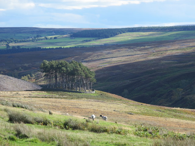
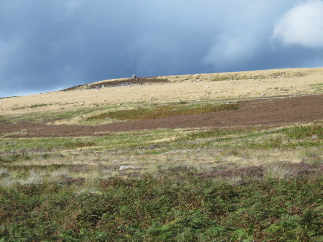
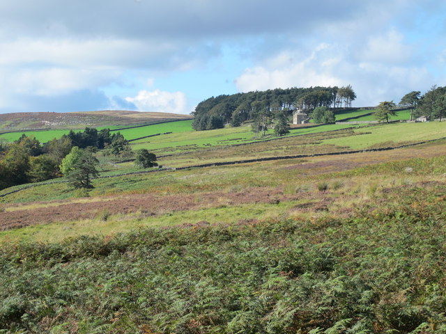
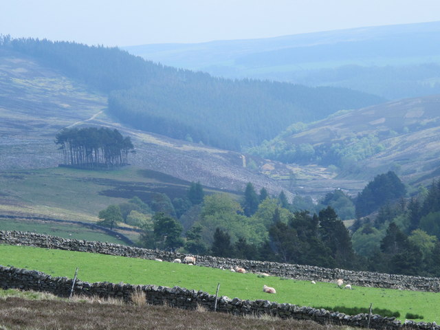
Hope Fell is a stunning area located in the county of Northumberland, England. Known for its diverse landscape, it encompasses both Downs and Moorland, offering visitors a mix of natural beauty and breathtaking views.
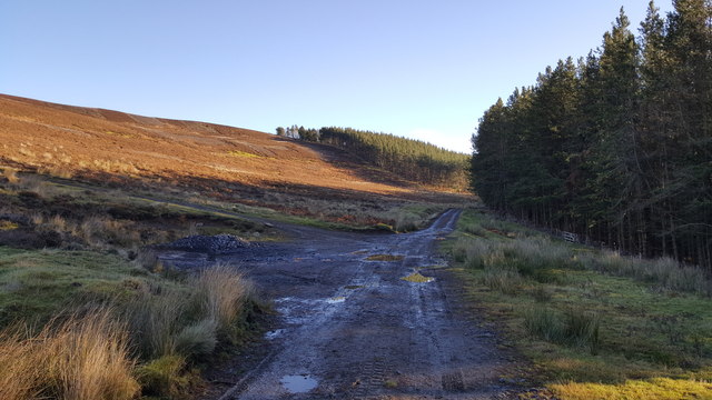
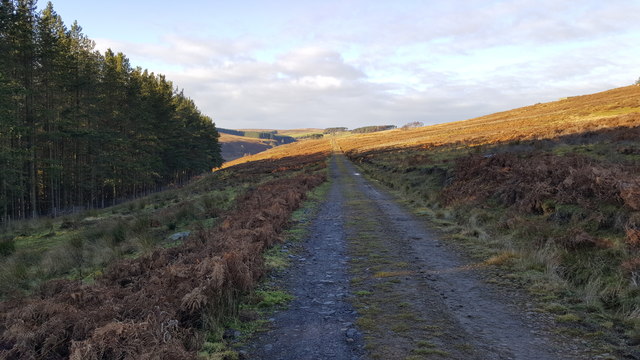
The Downs of Hope Fell are characterized by their rolling hills and vast open spaces. These grassy expanses provide a haven for various wildlife species, including rabbits, hares, and numerous bird species. The Downs offer visitors an opportunity to immerse themselves in the tranquility of the countryside, with plenty of walking paths and trails to explore.
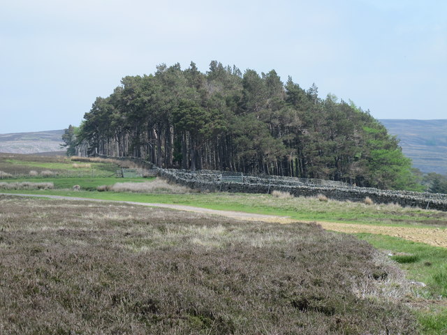
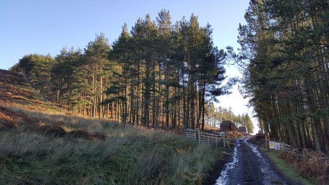
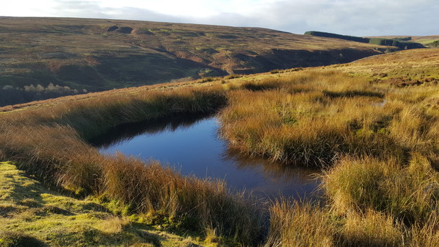
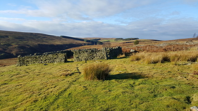
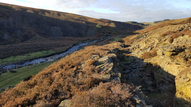
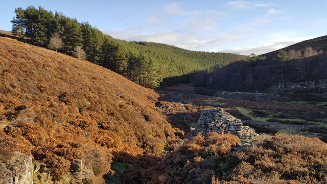
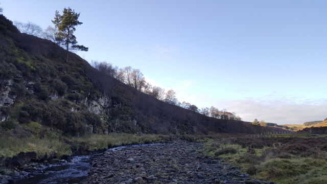
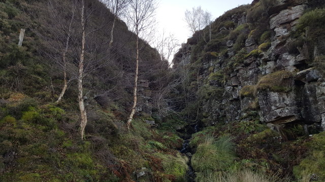
In contrast, the Moorland of Hope Fell presents a more rugged and untamed environment. Here, visitors can find themselves surrounded by heather-covered hills and rocky outcrops. The Moorland is home to a diverse range of flora and fauna, including heather, bilberry, and grouse. It is an ideal location for hikers and nature enthusiasts seeking a more challenging terrain.
The panoramic views from both the Downs and Moorland of Hope Fell are truly remarkable. On a clear day, visitors can enjoy sweeping vistas of the surrounding countryside, including the Northumberland National Park and the Cheviot Hills. The ever-changing colors of the landscape throughout the seasons make it a picturesque destination year-round.
Hope Fell, Northumberland is a hidden gem, offering visitors a chance to connect with nature and experience the beauty of the English countryside. Whether exploring the Downs or venturing into the Moorland, it is a place that will leave a lasting impression on all who visit.
If you have any feedback on the listing, please let us know in the comments section below.
Hope Fell Images
Images are sourced within 2km of 54.852937/-2.121285 or Grid Reference NY9250. Thanks to Geograph Open Source API. All images are credited.

Hope Fell is located at Grid Ref: NY9250 (Lat: 54.852937, Lng: -2.121285)
Unitary Authority: Northumberland
Police Authority: Northumbria
What 3 Words
///ticked.regal.spacing. Near Slaley, Northumberland
Nearby Locations
Related Wikis

Beldon Burn
Beldon Burn is a headwater stream of the River Derwent in Northumberland and County Durham, England.It rises at Quickcleugh Moss as the Quickcleugh Burn...

Baybridge, Northumberland
Baybridge is a small village in Northumberland, England, just to the west of Blanchland and on the border with County Durham. It is situated to the west...
Townfield
Townfield is a village in County Durham, in England. It is situated just to the south of Hunstanworth and part of that parish, about 10 miles (16 km) west...

Hunstanworth
Hunstanworth is a village in County Durham, England. It is situated approximately 10 miles to the west of Consett, south-west of the village of Blanchland...

Blanchland Abbey
Blanchland Abbey at Blanchland, in the English county of Northumberland, was founded as a premonstratensian priory in 1165 by Walter de Bolbec II, and...

Blanchland
Blanchland is a village in Northumberland, England, on the County Durham boundary. The population of the civil parish at the 2011 census was 135.Set beside...
Ramshaw, Consett
Ramshaw is a small village in County Durham, in England. It is situated to the south of Hunstanworth, a few miles west of Consett. Lead mining was an important...

Hexhamshire Moors
Hexhamshire Moors is a Site of Special Scientific Interest covering an extensive area of moorland in the Wear Valley district of north-west County Durham...
Nearby Amenities
Located within 500m of 54.852937,-2.121285Have you been to Hope Fell?
Leave your review of Hope Fell below (or comments, questions and feedback).