Beldon End Plantation
Wood, Forest in Northumberland
England
Beldon End Plantation
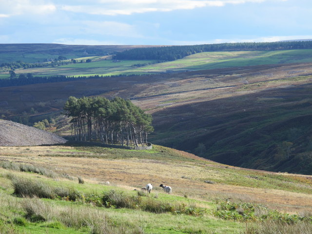
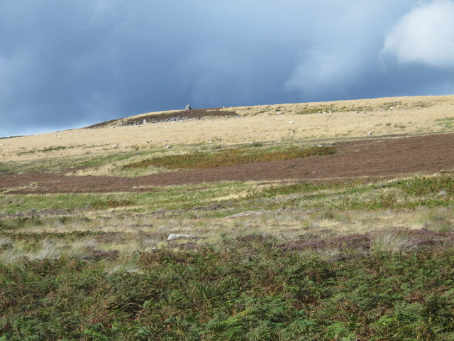
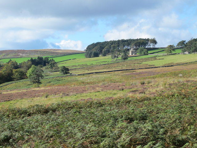
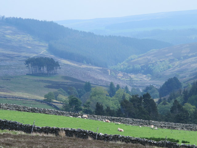
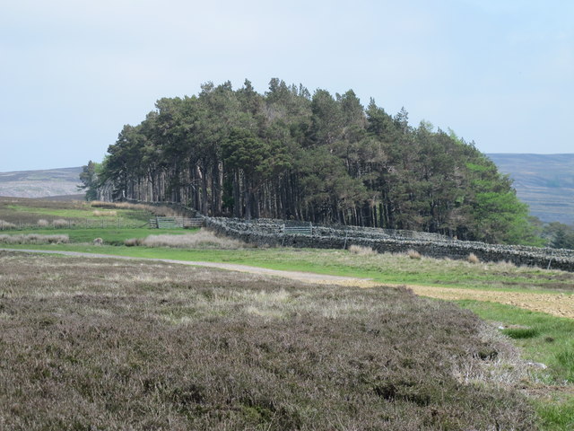
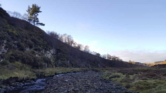
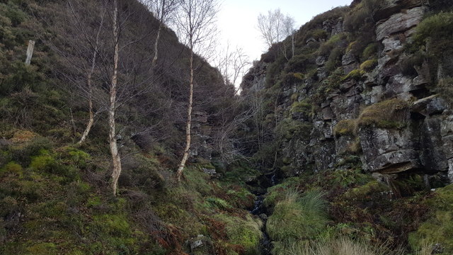
Beldon End Plantation is a picturesque woodland located in the county of Northumberland, England. The plantation is situated on the outskirts of the village of Beldon, surrounded by rolling countryside and breathtaking natural beauty. Covering an expansive area of approximately 200 hectares, it is a significant feature of the local landscape.
The plantation consists primarily of a diverse mix of trees, including oak, beech, birch, and pine. These trees create a dense and enchanting forest, providing a habitat for a wide range of wildlife. The woodland floor is adorned with a rich carpet of ferns, wildflowers, and mosses, adding to the area's natural charm.
Beldon End Plantation is a popular destination for nature enthusiasts, hikers, and bird watchers. The woodland offers a network of well-maintained trails that wind through the trees, allowing visitors to explore its hidden gems. The tranquil ambiance and peaceful atmosphere make it an ideal location for a leisurely stroll or a picnic amidst the serene surroundings.
The plantation also plays a crucial role in the local ecosystem, acting as a carbon sink and contributing to the area's natural balance. It serves as a vital habitat for many bird species, including woodpeckers, owls, and various songbirds. The diverse range of flora and fauna found within the woodland provides a haven for wildlife and offers a unique opportunity for nature enthusiasts to observe and appreciate the natural world.
Overall, Beldon End Plantation is a captivating woodland retreat, offering a sanctuary of tranquility and natural beauty in the heart of Northumberland.
If you have any feedback on the listing, please let us know in the comments section below.
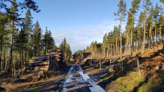
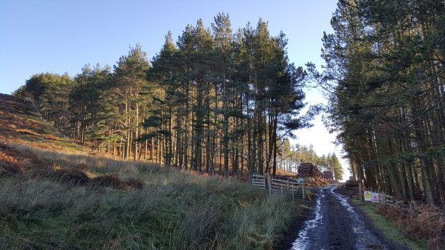
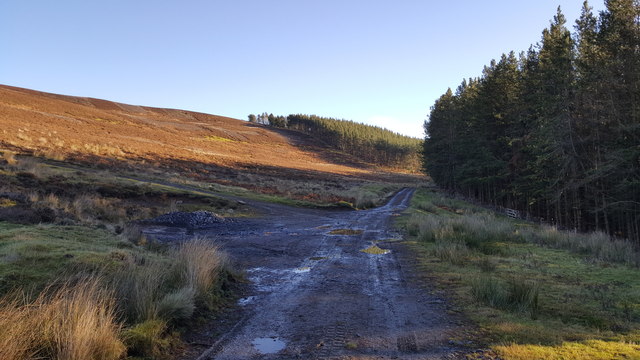
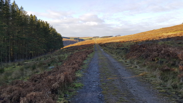
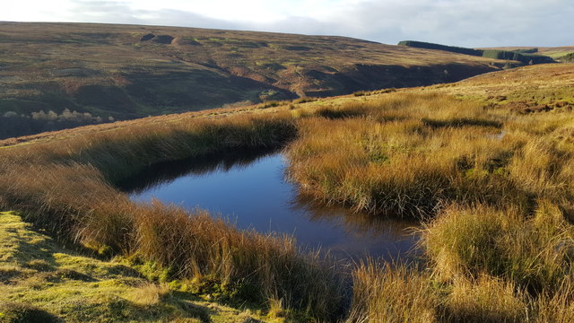
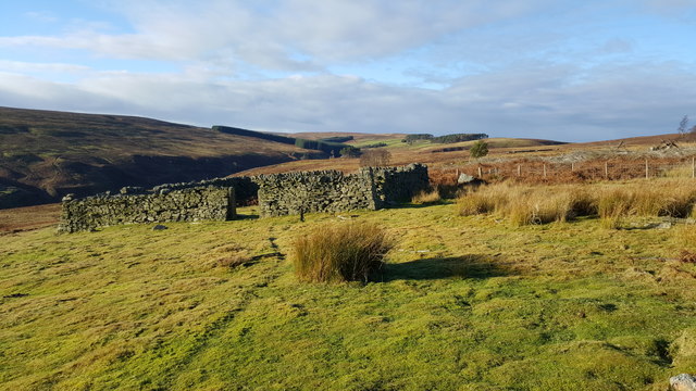
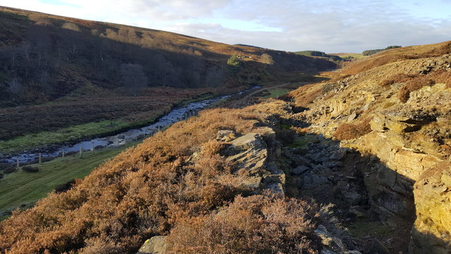
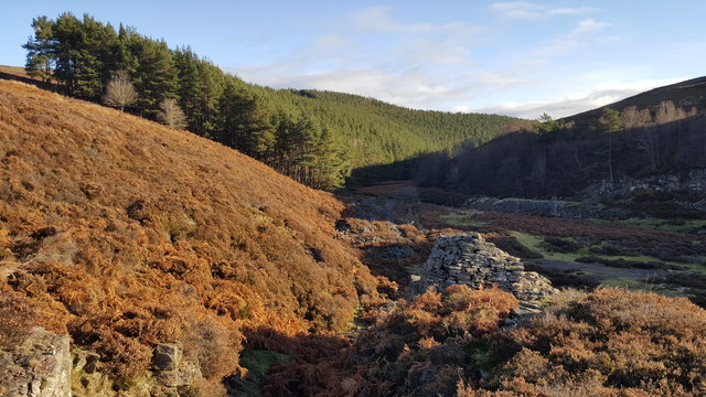
Beldon End Plantation Images
Images are sourced within 2km of 54.847109/-2.1259082 or Grid Reference NY9250. Thanks to Geograph Open Source API. All images are credited.
Beldon End Plantation is located at Grid Ref: NY9250 (Lat: 54.847109, Lng: -2.1259082)
Unitary Authority: Northumberland
Police Authority: Northumbria
What 3 Words
///dwarves.dragonfly.generally. Near Slaley, Northumberland
Nearby Locations
Related Wikis

Beldon Burn
Beldon Burn is a headwater stream of the River Derwent in Northumberland and County Durham, England.It rises at Quickcleugh Moss as the Quickcleugh Burn...

Baybridge, Northumberland
Baybridge is a small village in Northumberland, England, just to the west of Blanchland and on the border with County Durham. It is situated to the west...
Townfield
Townfield is a village in County Durham, in England. It is situated just to the south of Hunstanworth and part of that parish, about 10 miles (16 km) west...

Hunstanworth
Hunstanworth is a village in County Durham, England. It is situated approximately 10 miles to the west of Consett, south-west of the village of Blanchland...
Nearby Amenities
Located within 500m of 54.847109,-2.1259082Have you been to Beldon End Plantation?
Leave your review of Beldon End Plantation below (or comments, questions and feedback).