Bales Allotment

Downs, Moorland in Durham

England

Bales Allotment

Small covered reservoir above Watson's Bridge On the mountain road between Newbiggin (Teesdale) and Westgate (Weardale). A small wind turbine provides power for control and telemetry.
Small covered reservoir above Watson's Bridge Credit: Oliver Dixon

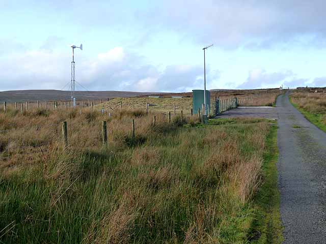
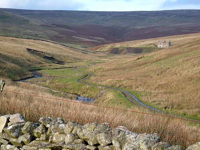
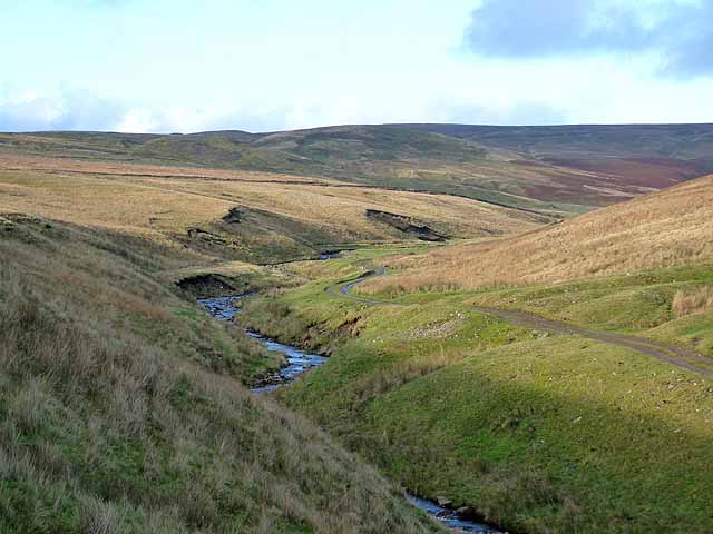
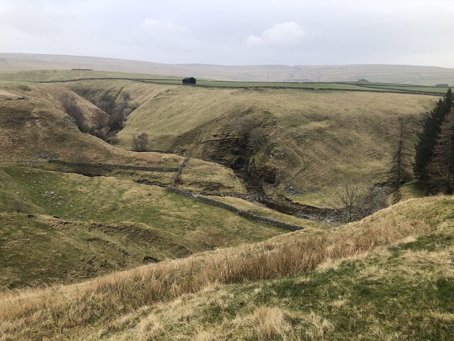
Bales Allotment, located in Durham, England, is a picturesque and serene piece of land that offers a unique experience to nature enthusiasts. Spanning over an area of downs and moorland, this allotment is a haven for those seeking tranquility, scenic beauty, and a chance to connect with the surrounding environment.

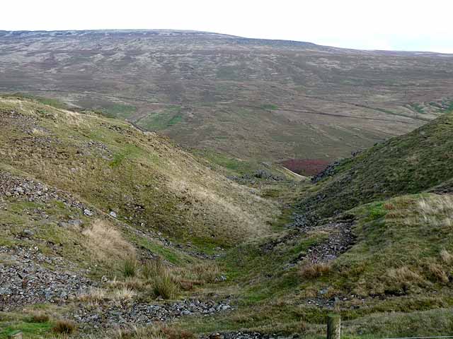
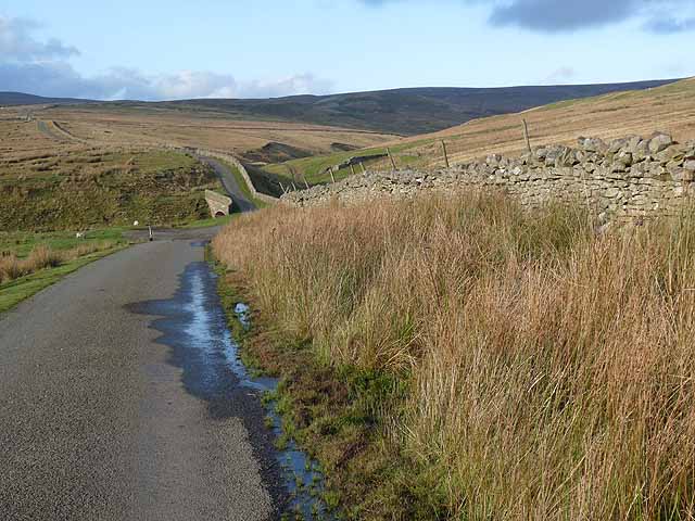
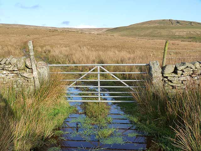
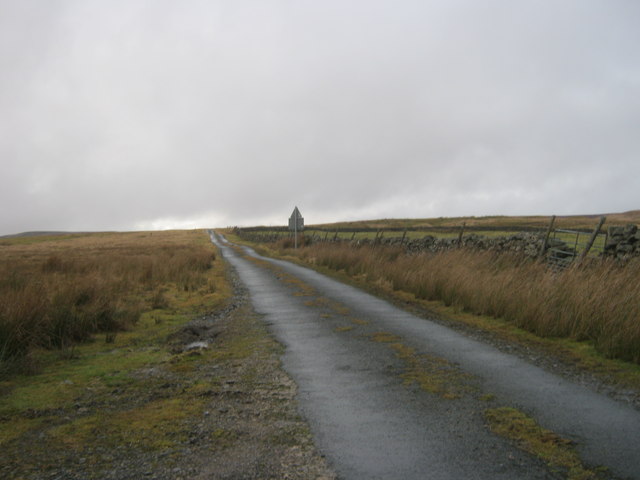
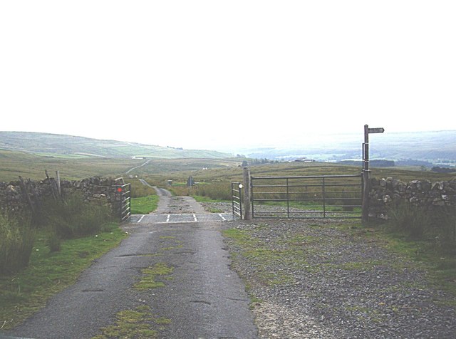
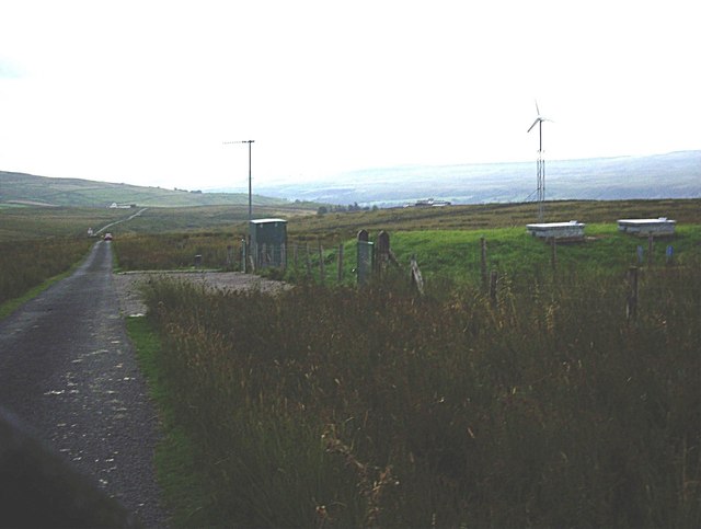
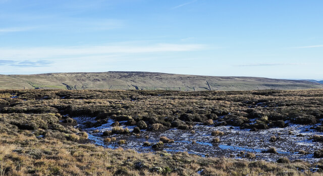
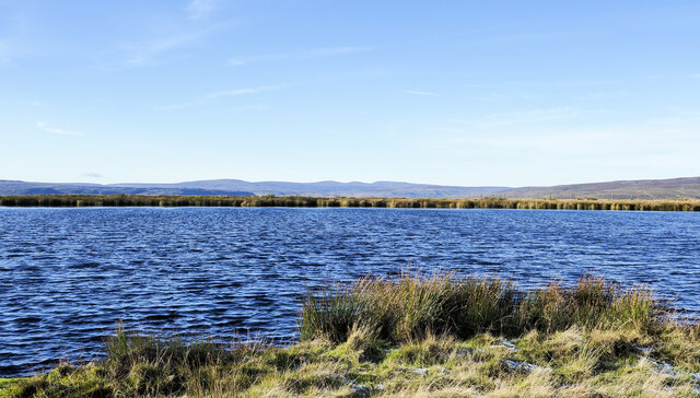
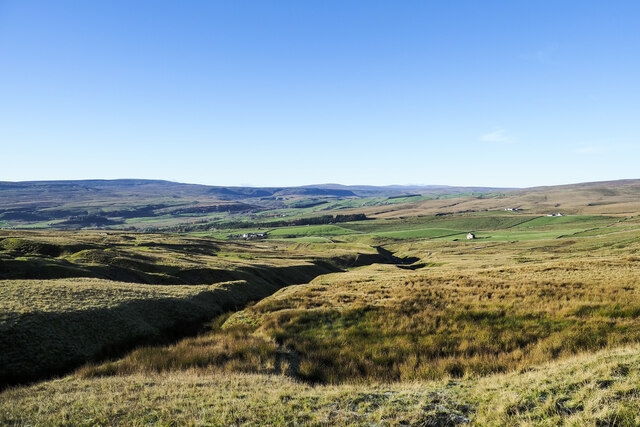
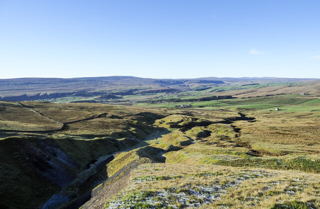
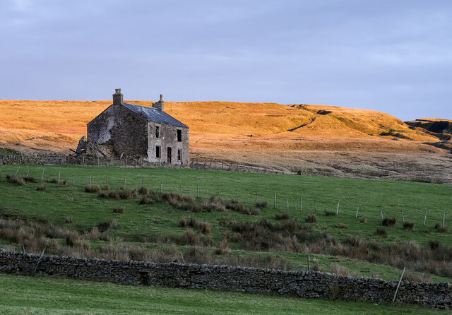
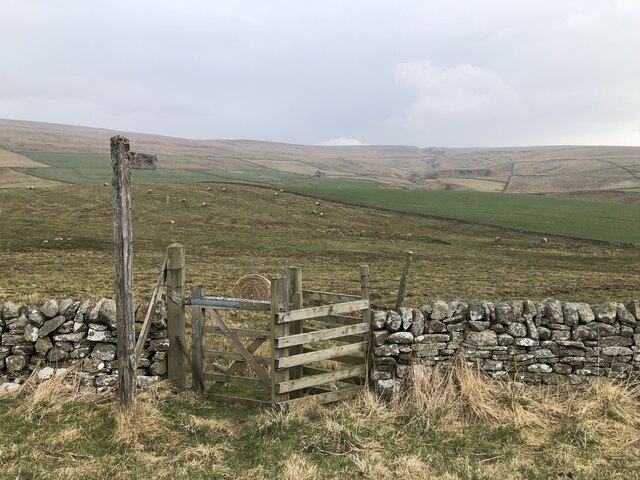
The downs of Bales Allotment are characterized by rolling hills covered in lush green grasses and scattered wildflowers. The undulating landscape provides breathtaking views of the surrounding countryside and the nearby moorland. The moorland, on the other hand, offers a stark contrast to the downs with its heather-clad terrain and rocky outcrops. This diverse ecosystem supports an array of flora and fauna, making it a haven for wildlife enthusiasts and birdwatchers.

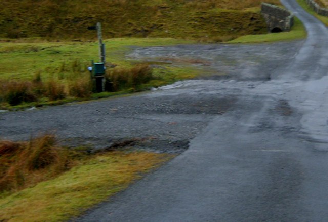
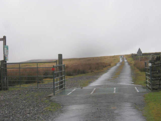
Visitors to Bales Allotment can explore the area through various walking trails that meander through the landscape, allowing them to immerse themselves in the natural beauty of the surroundings. The trails are well-maintained and offer both easy and challenging routes, catering to different levels of fitness and hiking experience.

In addition to its natural beauty, Bales Allotment is also home to a rich historical heritage. The area has several archaeological sites and ancient structures, including burial mounds and stone circles, which provide valuable insights into the region's past.

Overall, Bales Allotment in Durham is a must-visit destination for nature lovers, history enthusiasts, and anyone seeking a peaceful retreat in the midst of stunning natural landscapes.

If you have any feedback on the listing, please let us know in the comments section below.

Bales Allotment Images

Images are sourced within 2km of 54.669387/-2.1297447 or Grid Reference NY9130. Thanks to Geograph Open Source API. All images are credited.

Small covered reservoir above Watson's Bridge On the mountain road between Newbiggin (Teesdale) and Westgate (Weardale). A small wind turbine provides power for control and telemetry.
Small covered reservoir above Watson's Bridge
On the mountain road between Newbiggin (Teesdale) and Westgate (Weardale). A small wind turbine provides power for control and telemetry.
Flushiemere Beck A remote valley high on the northern flank of Teesdale. The track leads to the ruined Flushiemere House <a href="https://www.geograph.org.uk/gridref/NY9031">NY9031</a>.
Flushiemere Beck
A remote valley high on the northern flank of Teesdale. The track leads to the ruined Flushiemere House NY9031.
Flushiemere Beck A remote valley high on the northern flank of Teesdale. The track leads to the ruined Flushiemere House <a href="https://www.geograph.org.uk/gridref/NY9031">NY9031</a>. Westernhope Moor <a href="https://www.geograph.org.uk/gridref/NY9033">NY9033</a> on the skyline.
Flushiemere Beck
A remote valley high on the northern flank of Teesdale. The track leads to the ruined Flushiemere House NY9031. Westernhope Moor NY9033 on the skyline.
Tributary valley above Flushiemere Beck Displaying signs of old mineral workings (probably for lead) which dot this hillside.
Tributary valley above Flushiemere Beck
Displaying signs of old mineral workings (probably for lead) which dot this hillside.
Swinhope Lane On the mountain road between Newbiggin (Teesdale) and Westgate (Weardale). Watson's Bridge <a href="https://www.geograph.org.uk/gridref/NY9030">NY9030</a> on Flushiemere Beck at the foot of the hill.
Swinhope Lane
On the mountain road between Newbiggin (Teesdale) and Westgate (Weardale). Watson's Bridge NY9030 on Flushiemere Beck at the foot of the hill.
Gate and hillside above Teesdale
Small parking area south of Watson's Bridge The drive to Broadley's Gate Farm is to the left
Small parking area south of Watson's Bridge
The drive to Broadley's Gate Farm is to the left
Cattle grid in Newbiggin to Westgate road
Minor road to cross Green Fell
Cattle grid on Newbiggin Common On the minor road downhill from Swinehopehead, to Newbiggin and Teesdale.
Cattle grid on Newbiggin Common
On the minor road downhill from Swinehopehead, to Newbiggin and Teesdale.
Covered reservoir by road from Swinhope Head to Newbiggin With wind turbine close by.
Covered reservoir by road from Swinhope Head to Newbiggin
With wind turbine close by.
Moorland with exposed peat The moorland lies to the east of an old reservoir north of Coldberry Gutter. There's a little snow on the exposed peat, the first of 'winter' 2021 / 2022.
Monk's Moor is the distant moorland hill.
Moorland with exposed peat
The moorland lies to the east of an old reservoir north of Coldberry Gutter. There's a little snow on the exposed peat, the first of 'winter' 2021 / 2022. Monk's Moor is the distant moorland hill.
Unnamed reservoir north of Coldberry Gutter Coldberry Gutter is a significant feature of the lead mining history of this area of Teesdale, it lies out of view to the left of the reservoir which itself is another of the local mining relics.
Distantly, across the water at the centre of the image are three of the highest of the northern Pennine hills including the highest, Cross Fell. The Great and Little Dun Fells are also there.
Unnamed reservoir north of Coldberry Gutter
Coldberry Gutter is a significant feature of the lead mining history of this area of Teesdale, it lies out of view to the left of the reservoir which itself is another of the local mining relics. Distantly, across the water at the centre of the image are three of the highest of the northern Pennine hills including the highest, Cross Fell. The Great and Little Dun Fells are also there.
Moorland with hush The main groove to the left of the moorland slope is part of Coldberry Gutter which cuts through the south ridge of Westernhope Moor just north of Hardberry Hill. The ground over the whole area has been greatly disturbed by historic lead mining. The workings and remains are even more extensive on the other side of the ridge, behind the camera position and over the hill.
Moorland with hush
The main groove to the left of the moorland slope is part of Coldberry Gutter which cuts through the south ridge of Westernhope Moor just north of Hardberry Hill. The ground over the whole area has been greatly disturbed by historic lead mining. The workings and remains are even more extensive on the other side of the ridge, behind the camera position and over the hill.
Coldberry Gutter Coldberry Gutter is a gash which cuts through the south ridge of Westernhope Moor just north of Hardberry Hill; it's a significant feature and is visible from significant distances. The deepest part of it is just behind the camera position beyond which the slot continues, descending into Hudes Hope. It and the other disturbed-ground features are all the result of historic lead mining activity.
Coldberry Gutter
Coldberry Gutter is a gash which cuts through the south ridge of Westernhope Moor just north of Hardberry Hill; it's a significant feature and is visible from significant distances. The deepest part of it is just behind the camera position beyond which the slot continues, descending into Hudes Hope. It and the other disturbed-ground features are all the result of historic lead mining activity.
Red Grooves House The deteriorating Red Grooves House photographed at 15:45 on a mid-November day, the sun having set as far as the building is concerned, but still illuminating the hill slopes above.
The disturbed and grooved ground to the right is the result of extensive mining.
Red Grooves House
The deteriorating Red Grooves House photographed at 15:45 on a mid-November day, the sun having set as far as the building is concerned, but still illuminating the hill slopes above. The disturbed and grooved ground to the right is the result of extensive mining.
Confluence of Teesdale becks Wester Beck and Flushiemere Beck emerge from their ravines to form Bow Lee Beck for the short remaining distance to the Tees.
Confluence of Teesdale becks
Wester Beck and Flushiemere Beck emerge from their ravines to form Bow Lee Beck for the short remaining distance to the Tees.
Footpath to Laddie Gill
Show me another place!

Bales Allotment is located at Grid Ref: NY9130 (Lat: 54.669387, Lng: -2.1297447)

Unitary Authority: County Durham

Police Authority: Durham

What 3 Words

///enrolling.wheels.crashing. Near Newbiggin, Co. Durham

Nearby Locations

Blea Gill Bales Allotment

Related Wikis

Teesdale Allotments

Teesdale Allotments is a Site of Special Scientific Interest in the Teesdale district of County Durham, England. It consists of two large upland areas...

Bowlees

Bowlees is a small village in County Durham, England. It is situated near Newbiggin, on the other side of Teesdale from Holwick. The visitor centre in...

Bowlees and Friar House Meadows

Bowlees and Friar House Meadows is a Site of Special Scientific Interest in the Teesdale district of west County Durham, England. It consists of three...

Low Force

Low Force is an 18-foot (5.5m) high set of falls on the River Tees, England, UK. Further upstream is the High Force waterfall. Low Force is also the site...

Nearby Amenities

Located within 500m of 54.669387,-2.1297447
Historic: mine_shaft
Note: not confirmed
Source: Bing
Lat/Long: 54.669823/-2.1327857
Historic: mine_shaft
Source: Bing
Lat/Long: 54.665887/-2.1301026
The data included in this document is from www.openstreetmap.org. The data is made available under ODbL.

Have you been to Bales Allotment?

Leave your review of Bales Allotment below (or comments, questions and feedback).