Hinton Bushes

Downs, Moorland in Dorset

England

Hinton Bushes

South Tarrant Hinton Down
South Tarrant Hinton Down Credit: Paul Barnett

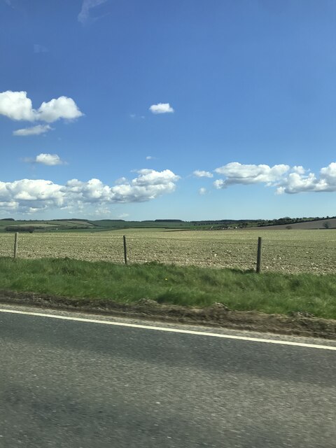
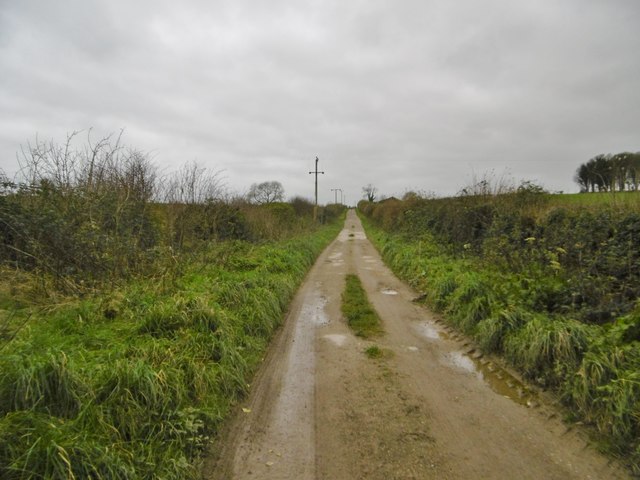
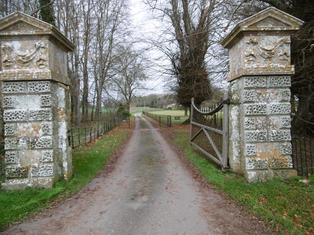
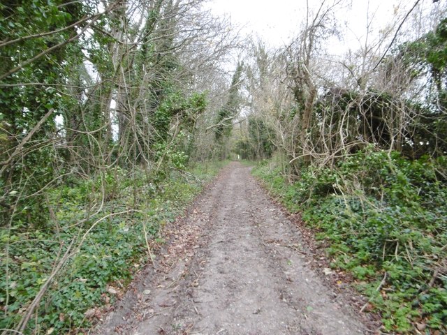
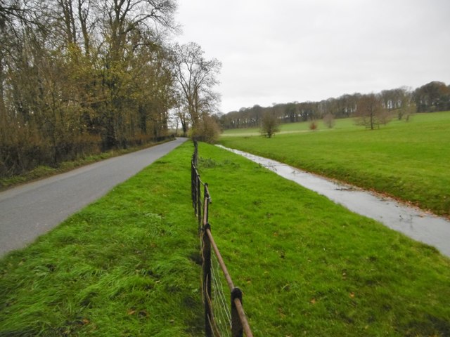
Hinton Bushes is a picturesque nature reserve located in Dorset, England. Situated on the outskirts of the town of Ferndown, it covers an area of approximately 88 hectares and is known for its diverse and beautiful landscape.

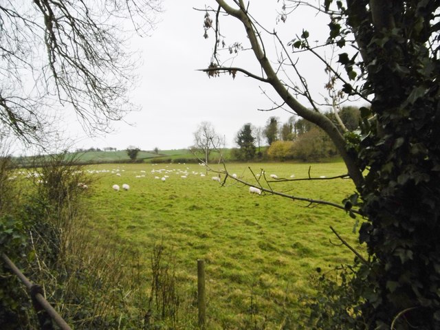
The reserve is primarily made up of a mix of downland and heathland habitats, which provide a home for a wide range of flora and fauna. Visitors can expect to see an array of wildflowers, including orchids, as well as a variety of grasses and ferns. The heathland areas are characterized by gorse and heather, which create a vibrant display of color during the summer months.

Hinton Bushes is also home to an assortment of wildlife. Birdwatchers will be delighted by the presence of species such as woodlarks, nightjars, and Dartford warblers. The reserve is also a haven for small mammals, including rabbits and voles, while reptiles such as adders and common lizards can be spotted basking in the sun.

For nature enthusiasts, Hinton Bushes offers several walking trails that wind through the reserve, allowing visitors to explore the different habitats and enjoy the tranquility of the countryside. The paths are well-maintained and suitable for all abilities, with informative signposts providing details about the flora and fauna found in the area.

Overall, Hinton Bushes is a charming nature reserve that showcases the natural beauty of Dorset's downs and moorland. With its diverse habitats and abundance of wildlife, it is a must-visit destination for anyone seeking a peaceful and immersive experience in nature.

If you have any feedback on the listing, please let us know in the comments section below.

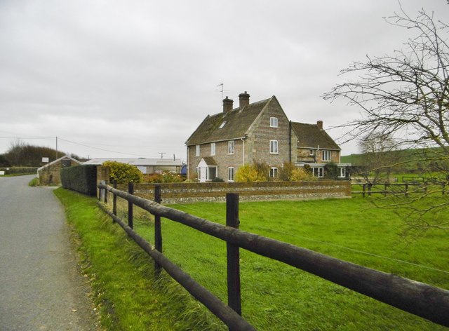
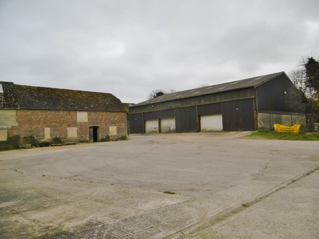
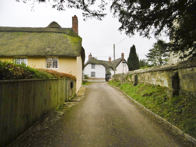
Hinton Bushes Images

Images are sourced within 2km of 50.903093/-2.1190652 or Grid Reference ST9111. Thanks to Geograph Open Source API. All images are credited.

South Tarrant Hinton Down
Tarrant Hinton, Meadow House Formerly North Farmhouse, now a B&B.
Tarrant Hinton, Meadow House
Formerly North Farmhouse, now a B&B.
Tarrant Hinton, North Farm
Tarrant Hinton, Cobb Cottage Thatched cottage at the top of the lane from the village street, opposite the parish church. Listed by Historic England (Grade II): <span class="nowrap"><a title="http://www.imagesofengland.org.uk/Details/Default.aspx?id=103694&mode=adv" rel="nofollow ugc noopener" href="http://www.imagesofengland.org.uk/Details/Default.aspx?id=103694&mode=adv">Link</a><img style="margin-left:2px;" alt="External link" title="External link - shift click to open in new window" src="https://s1.geograph.org.uk/img/external.png" width="10" height="10"/></span>
Tarrant Hinton, Cobb Cottage
Thatched cottage at the top of the lane from the village street, opposite the parish church. Listed by Historic England (Grade II): LinkExternal link
Tarrant Hinton, St. Mary's Parish church dating from C14; listed by Historic England (Grade I); <span class="nowrap"><a title="http://www.imagesofengland.org.uk/Details/Default.aspx?id=103691&mode=adv" rel="nofollow ugc noopener" href="http://www.imagesofengland.org.uk/Details/Default.aspx?id=103691&mode=adv">Link</a><img style="margin-left:2px;" alt="External link" title="External link - shift click to open in new window" src="https://s1.geograph.org.uk/img/external.png" width="10" height="10"/></span>
Tarrant Hinton, St. Mary's
Parish church dating from C14; listed by Historic England (Grade I); LinkExternal link
Tarrant Hinton, footpath From St. Mary's to Tarrant Gunville; turn left at the field boundary, and follow the Tarrant valley.
Tarrant Hinton, footpath
From St. Mary's to Tarrant Gunville; turn left at the field boundary, and follow the Tarrant valley.
Tarrant Hinton, brassicas Oil-seed rape (?) cultivated on the slopes of High Lea Hill.
Tarrant Hinton, brassicas
Oil-seed rape (?) cultivated on the slopes of High Lea Hill.
Tarrant Hinton, gate On the path along farmland from Tarrant Gunville to Tarrant Hinton.
Tarrant Hinton, gate
On the path along farmland from Tarrant Gunville to Tarrant Hinton.
Tarrant Hinton, byway The farm road from Tarrant Gunville to North Tarrant Hinton Down.
Tarrant Hinton, byway
The farm road from Tarrant Gunville to North Tarrant Hinton Down.
Tarrant Gunville, gateway C18 gateway, at the southern boundary of Eastbury Park, to Kennels Farmhouse and White Kennels. Listed by Historic England: <span class="nowrap"><a title="http://www.imagesofengland.org.uk/Details/Default.aspx?id=103670&mode=adv" rel="nofollow ugc noopener" href="http://www.imagesofengland.org.uk/Details/Default.aspx?id=103670&mode=adv">Link</a><img style="margin-left:2px;" alt="External link" title="External link - shift click to open in new window" src="https://s1.geograph.org.uk/img/external.png" width="10" height="10"/></span>
Tarrant Gunville, gateway
C18 gateway, at the southern boundary of Eastbury Park, to Kennels Farmhouse and White Kennels. Listed by Historic England: LinkExternal link
Tarrant Hinton, byway Byway and farm road, from Eastbury Farmhouse to Little Wood.
Tarrant Hinton, byway
Byway and farm road, from Eastbury Farmhouse to Little Wood.
Tarrant Gunville, footpath Skirting Eastbury Park (left), on the way to the village; part of the Jubilee Trail: <span class="nowrap"><a title="https://www.ldwa.org.uk/ldp/members/show_path.php?path_name=Jubilee+Trail+(Dorset)" rel="nofollow ugc noopener" href="https://www.ldwa.org.uk/ldp/members/show_path.php?path_name=Jubilee+Trail+(Dorset)">Link</a><img style="margin-left:2px;" alt="External link" title="External link - shift click to open in new window" src="https://s1.geograph.org.uk/img/external.png" width="10" height="10"/></span>
Tarrant Gunville, footpath
Skirting Eastbury Park (left), on the way to the village; part of the Jubilee Trail: LinkExternal link
Tarrant Gunville, gate Entering woodland at Eastbury Park; on the Jubilee Trail: <span class="nowrap"><a title="https://www.ldwa.org.uk/ldp/members/show_path.php?path_name=Jubilee+Trail+(Dorset)" rel="nofollow ugc noopener" href="https://www.ldwa.org.uk/ldp/members/show_path.php?path_name=Jubilee+Trail+(Dorset)">Link</a><img style="margin-left:2px;" alt="External link" title="External link - shift click to open in new window" src="https://s1.geograph.org.uk/img/external.png" width="10" height="10"/></span>
Tarrant Gunville, gate
Entering woodland at Eastbury Park; on the Jubilee Trail: LinkExternal link
Tarrant Gunville, The Forge Thatched cottage on the village street. C18, listed by Historic England: <span class="nowrap"><a title="http://www.imagesofengland.org.uk/Details/Default.aspx?id=103678&mode=adv" rel="nofollow ugc noopener" href="http://www.imagesofengland.org.uk/Details/Default.aspx?id=103678&mode=adv">Link</a><img style="margin-left:2px;" alt="External link" title="External link - shift click to open in new window" src="https://s1.geograph.org.uk/img/external.png" width="10" height="10"/></span>
Tarrant Gunville, The Forge
Thatched cottage on the village street. C18, listed by Historic England: LinkExternal link
Tarrant Gunville, gateway C18 gateway to Eastbury House; listed by Historic England: <span class="nowrap"><a title="http://www.imagesofengland.org.uk/Details/Default.aspx?id=103672&mode=adv" rel="nofollow ugc noopener" href="http://www.imagesofengland.org.uk/Details/Default.aspx?id=103672&mode=adv">Link</a><img style="margin-left:2px;" alt="External link" title="External link - shift click to open in new window" src="https://s1.geograph.org.uk/img/external.png" width="10" height="10"/></span>
Tarrant Gunville, gateway
C18 gateway to Eastbury House; listed by Historic England: LinkExternal link
Tarrant Gunville, the Tarrant A chalk stream rising to the North of the village, and flowing into the Stour at Tarrant Crawford.
Tarrant Gunville, the Tarrant
A chalk stream rising to the North of the village, and flowing into the Stour at Tarrant Crawford.
Tarrant Gunville, sheep grazing
Tarrant Gunville, St. Mary's Parish church and churchyard. The church dates from C14, and has been rebuilt and restored in later centuries. Listed by Historic England (Grade II*): <span class="nowrap"><a title="http://www.imagesofengland.org.uk/Details/Default.aspx?id=103663&mode=adv" rel="nofollow ugc noopener" href="http://www.imagesofengland.org.uk/Details/Default.aspx?id=103663&mode=adv">Link</a><img style="margin-left:2px;" alt="External link" title="External link - shift click to open in new window" src="https://s1.geograph.org.uk/img/external.png" width="10" height="10"/></span>
Tarrant Gunville, St. Mary's
Parish church and churchyard. The church dates from C14, and has been rebuilt and restored in later centuries. Listed by Historic England (Grade II*): LinkExternal link
Show me another place!

Hinton Bushes is located at Grid Ref: ST9111 (Lat: 50.903093, Lng: -2.1190652)

Unitary Authority: Dorset

Police Authority: Dorset

What 3 Words

///soils.mentioned.mushroom. Near Pimperne, Dorset

Related Wikis

Tarrant Gunville

Tarrant Gunville is a village and civil parish in north Dorset, England, situated at the head of the Tarrant Valley on Cranborne Chase five miles (eight...

Eastbury Park

Eastbury Park was a country estate near Tarrant Gunville in Dorset, England. It contained a large mansion designed by Sir John Vanbrugh. The mansion has...

Great Dorset Steam Fair

The Great Dorset Steam Fair (abbreviated GDSF, and since 2010 also known as The National Heritage Show) is an annual show featuring steam-powered vehicles...

Tarrant Hinton

Tarrant Hinton is a village and civil parish in the county of Dorset in southern England. It is situated in the Tarrant Valley, approximately five miles...

Pimperne

Pimperne ( PIM-pərn) is a village and civil parish in north Dorset, England, situated on Cranborne Chase two miles (three kilometres) northeast of the...

Pimperne Hundred

Pimperne Hundred was a hundred in the county of Dorset, England, containing the following parishes: Bryanston Durweston Fifehead Neville Hammoon Hazelbury...

Tarrant Launceston

Tarrant Launceston is a small village and civil parish in north Dorset, England, situated in the Tarrant Valley 5 miles (8 kilometres) northeast of Blandford...

Defence School of Communications and Information Systems

The Defence School of Communications and Information Systems (DSCIS) is a Defence Training Establishment of the British Ministry of Defence. It was formed...

Nearby Amenities

Located within 500m of 50.903093,-2.1190652
The data included in this document is from www.openstreetmap.org. The data is made available under ODbL.

Have you been to Hinton Bushes?

Leave your review of Hinton Bushes below (or comments, questions and feedback).