Harston Green
Downs, Moorland in Yorkshire
England
Harston Green

Harston Green is a quaint village situated in the stunning countryside of Yorkshire, England. Located on the edge of the Yorkshire Downs and surrounded by vast stretches of moorland, it offers residents and visitors alike a picturesque setting with breathtaking natural beauty.
The village itself is small but charming, with a population of around 500 people. It boasts a close-knit community that takes pride in preserving its rural heritage and maintaining a peaceful way of life. The streets are lined with traditional stone cottages, giving the village a timeless feel.
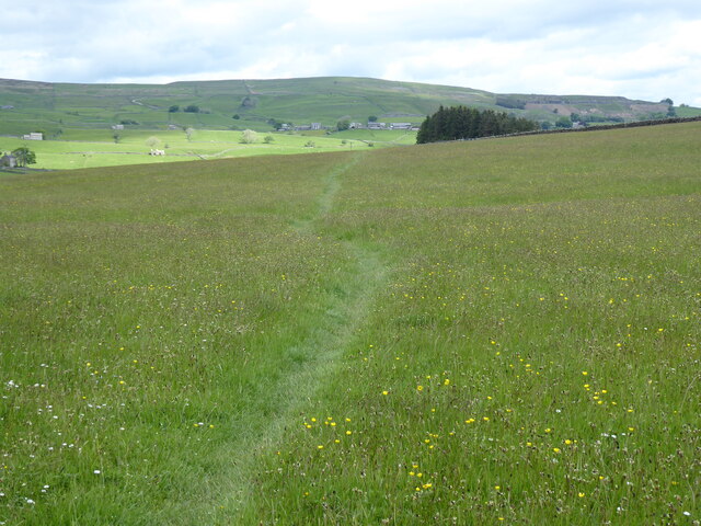
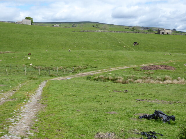
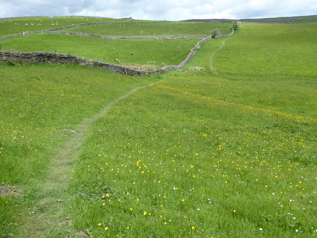
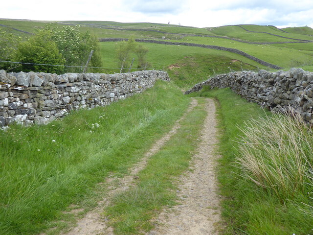
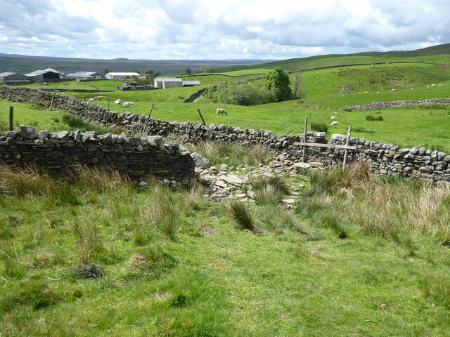
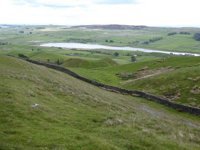
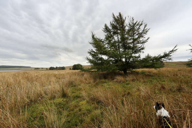
Harston Green is well-known for its stunning views of the Yorkshire Downs, which provide a stunning backdrop to daily life. The rolling hills, covered in vibrant green grass, offer endless opportunities for outdoor activities such as hiking, cycling, and horseback riding. The Downs are also home to a wide variety of wildlife, making it a paradise for nature enthusiasts.
In addition to the Downs, Harston Green is surrounded by vast moorland, which is a unique and distinctive feature of the area. The moors are characterized by their wide-open spaces, heather-covered hills, and peat bogs. They provide a rugged and wild landscape that is a haven for birdwatchers, as well as a popular destination for those seeking solitude and tranquility.
Despite its rural setting, Harston Green is conveniently located near larger towns and cities. The bustling market town of Harrogate is just a short drive away, offering a range of amenities including shops, restaurants, and cultural attractions.
In summary, Harston Green is a picturesque village nestled in the stunning countryside of Yorkshire. With its breathtaking views of the Yorkshire Downs and its proximity to vast moorland, it offers residents and visitors a tranquil and idyllic setting to enjoy the beauty of nature.
If you have any feedback on the listing, please let us know in the comments section below.
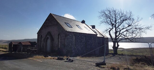
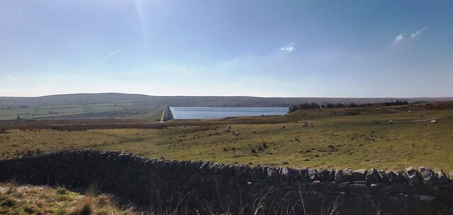
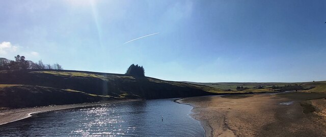
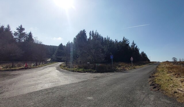
Harston Green Images
Images are sourced within 2km of 54.592408/-2.129453 or Grid Reference NY9121. Thanks to Geograph Open Source API. All images are credited.


Harston Green is located at Grid Ref: NY9121 (Lat: 54.592408, Lng: -2.129453)
Division: North Riding
Unitary Authority: County Durham
Police Authority: Durham
What 3 Words
///senses.frostbite.closed. Near Holwick, Co. Durham
Nearby Locations
Related Wikis

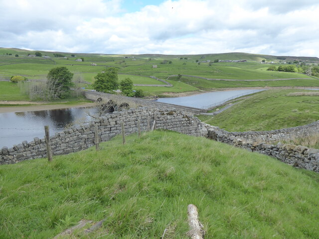
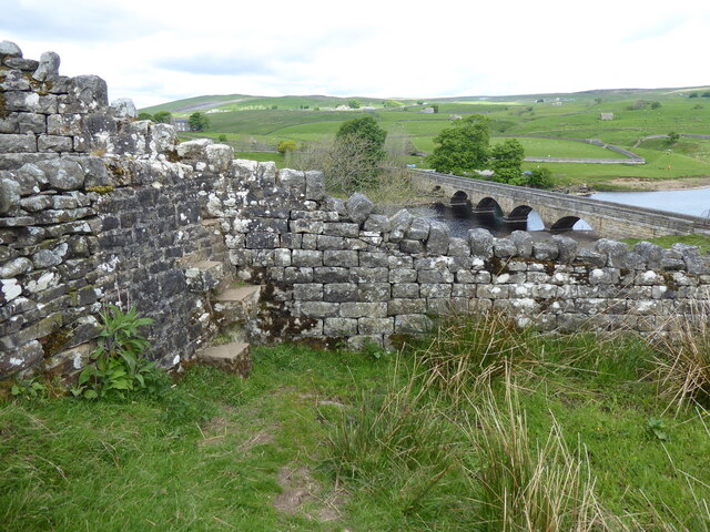
Selset Reservoir
Selset Reservoir is a reservoir in County Durham, England. It is situated in Lunedale which is a side valley of the River Tees, about 5 miles (8 km) west...

Grassholme
Grassholme is a village in County Durham, England.For centuries it lay within the historic county boundaries of the North Riding of Yorkshire, but, along...
Thringarth
Thringarth is a hamlet in Lunedale, in the Pennines of England. It is traditionally located in the North Riding of Yorkshire but along with the rest of...
Rigg Farm and Stake Hill Meadows
Rigg Farm and Stake Hill Meadows is a Site of Special Scientific Interest in the Teesdale district of County Durham, England. It is situated in Lunedale...
Harter Fell, Lunedale
Harter Fell is an area of upland heath in west County Durham, England. It lies on the watershed between the River Tees to the north-east and the River...

Grassholme Reservoir
Grassholme Reservoir is a large reservoir in County Durham, England. It is situated in Lunedale, which is a side valley of the River Tees, about 2 miles...
West Park Meadows
West Park Meadows is a Site of Special Scientific Interest in the Teesdale district of County Durham, England. It is situated in Lunedale, just north of...
Hury
Hury is a village in Baldersdale, in the Pennines of England. It is located in the historic North Riding of Yorkshire. Along with the rest of the former...
Nearby Amenities
Located within 500m of 54.592408,-2.129453Have you been to Harston Green?
Leave your review of Harston Green below (or comments, questions and feedback).