Tetbury Common

Downs, Moorland in Gloucestershire Cotswold

England

Tetbury Common

Stone Stile, Culkerton From the Northern side of the A433 on Gloucestershire footpath NCH9 looking to the road. The view from the road is <a href="https://www.geograph.org.uk/photo/7228263">ST9296 : Stone Stile, Culkerton</a>.
Stone Stile, Culkerton Credit: Lenneke Jansens

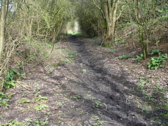
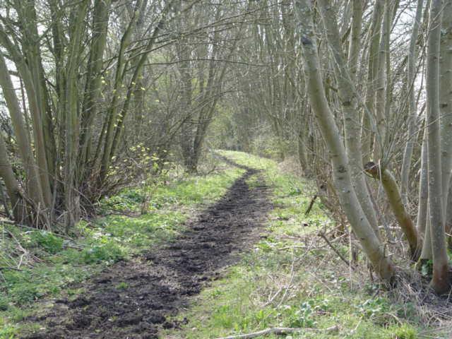
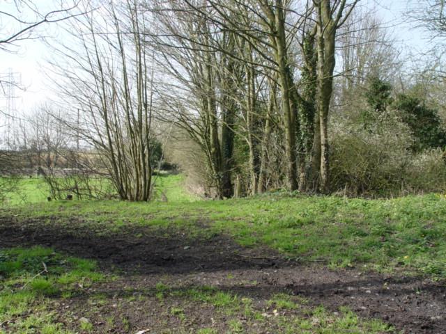
Tetbury Common is a picturesque area located in Gloucestershire, England. Situated on the outskirts of the charming market town of Tetbury, this expansive common covers a considerable expanse of land and is known for its enchanting Downs and Moorland landscapes.

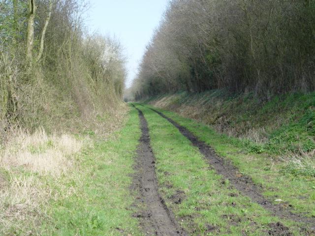
The common is characterized by rolling hills and open grasslands, making it a haven for nature enthusiasts and outdoor adventurers. It offers breathtaking views of the surrounding countryside, with its vast expanse providing a tranquil escape from the bustling town nearby. The area is rich in biodiversity, boasting a variety of flora and fauna, including wildflowers, heather, and gorse.

Tetbury Common is a popular destination for walking, hiking, and cycling, with numerous trails crisscrossing the area. These trails cater to all levels of fitness and provide an opportunity to explore the stunning natural beauty of the common. Visitors can also spot a range of wildlife, such as rabbits, deer, and a variety of bird species.

The common has a long history, dating back centuries. It has been used for grazing livestock, particularly sheep, and still retains its pastoral charm. Local farmers continue to graze their animals on the common, contributing to its unique character and maintaining traditional farming practices.

Tetbury Common is a much-loved spot for locals and tourists alike, offering a peaceful retreat in the heart of Gloucestershire. Its idyllic landscapes, combined with its historical significance and recreational opportunities, make it a must-visit destination for nature enthusiasts and those seeking a taste of the English countryside.

If you have any feedback on the listing, please let us know in the comments section below.

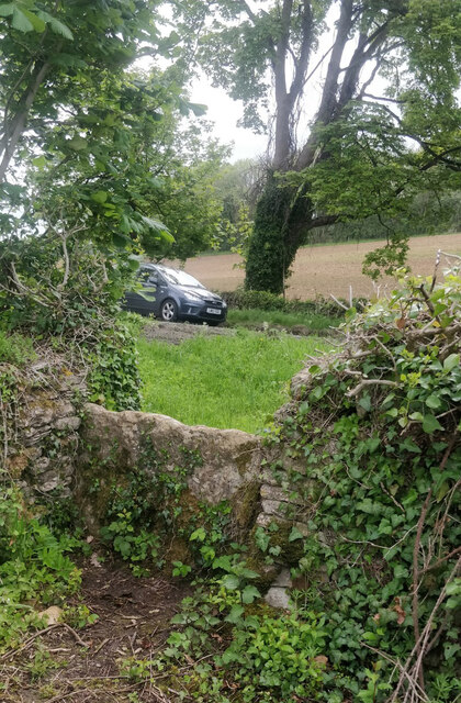
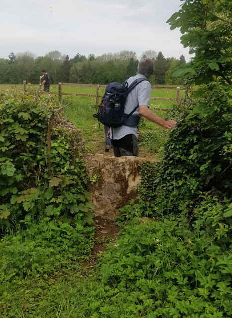
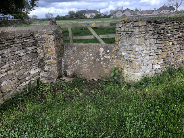
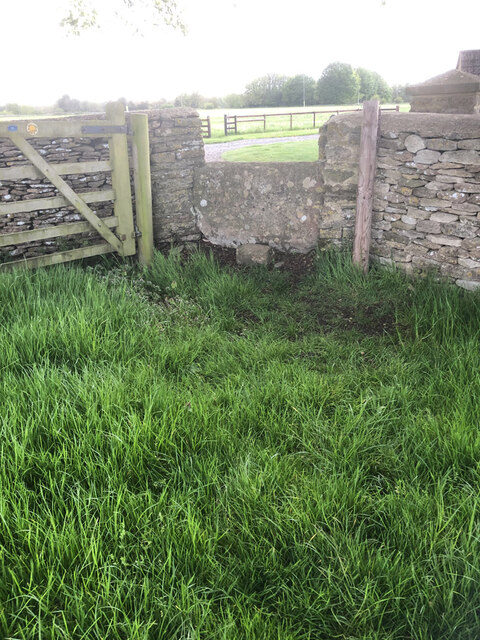
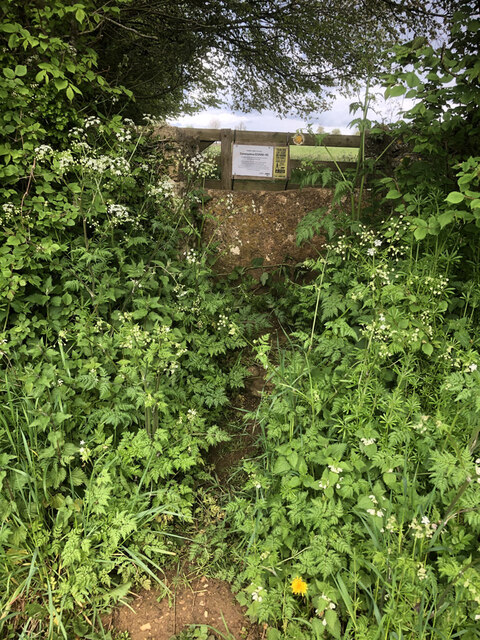
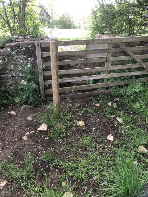
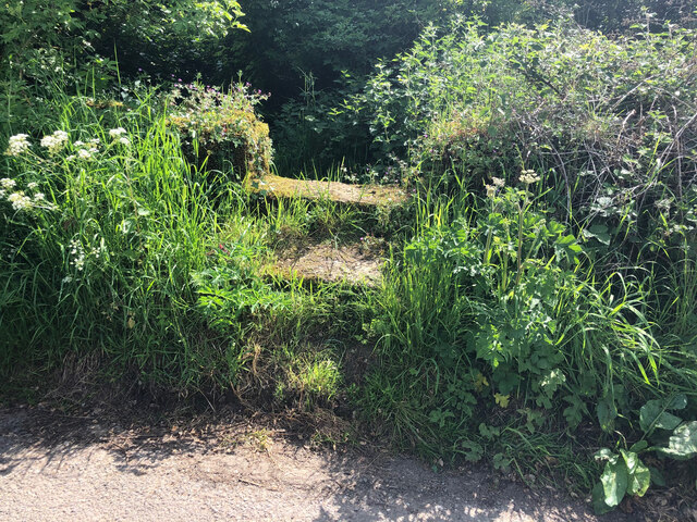
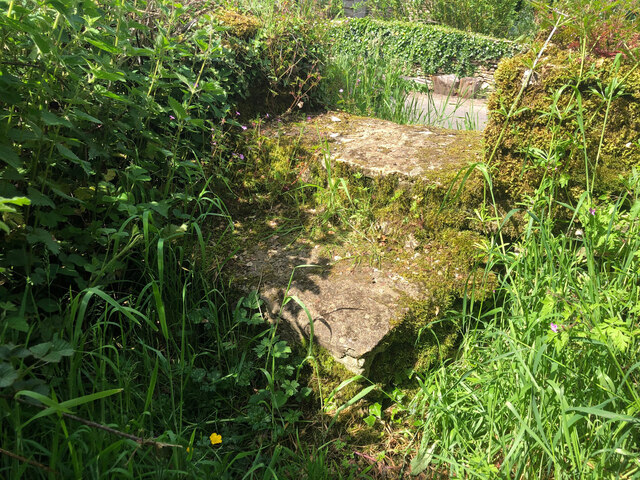
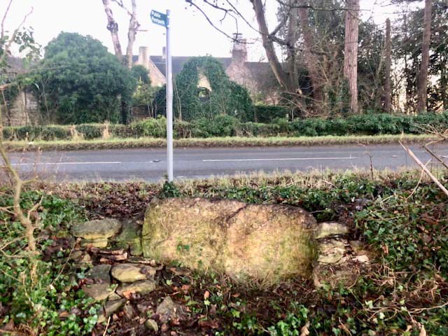
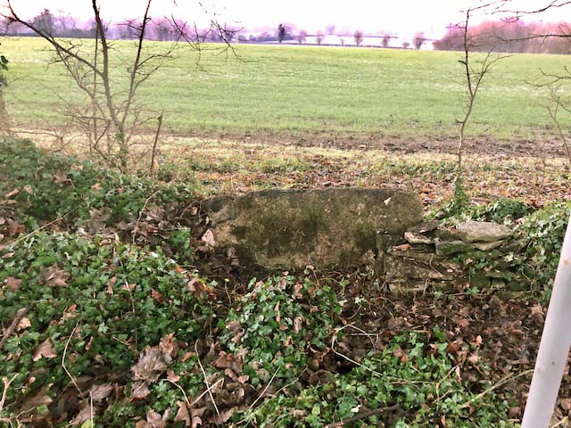
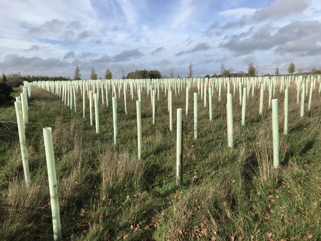
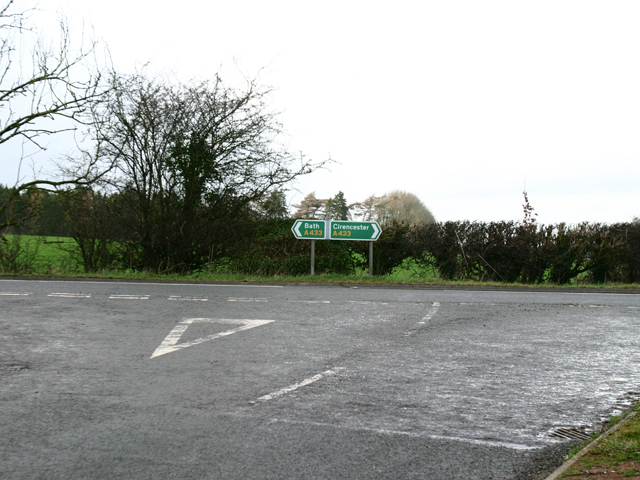
Tetbury Common Images

Images are sourced within 2km of 51.657215/-2.1305906 or Grid Reference ST9195. Thanks to Geograph Open Source API. All images are credited.

Stone Stile, Culkerton From the Northern side of the A433 on Gloucestershire footpath NCH9 looking to the road. The view from the road is <a href="https://www.geograph.org.uk/photo/7228263">ST9296 : Stone Stile, Culkerton</a>.
Stone Stile, Culkerton
From the Northern side of the A433 on Gloucestershire footpath NCH9 looking to the road. The view from the road is ST9296 : Stone Stile, Culkerton.
Stone Stile, Culkerton From the Northern side of the A433 on Gloucestershire footpath NCH9 looking to the road. The view from the road is <a href="https://www.geograph.org.uk/photo/7228261">ST9296 : Stone Stile, Culkerton</a>.
Stone Stile, Culkerton
From the Northern side of the A433 on Gloucestershire footpath NCH9 looking to the road. The view from the road is ST9296 : Stone Stile, Culkerton.
Stone Stile, Culkerton On Gloucestershire footpath NAS1 across Holt Farm looking South to the village. The view North is <a href="https://www.geograph.org.uk/photo/7233049">ST9295 : Stone Stile, Culkerton</a>.
Stone Stile, Culkerton
On Gloucestershire footpath NAS1 across Holt Farm looking South to the village. The view North is ST9295 : Stone Stile, Culkerton.
Stone Stile, Culkerton On Gloucestershire footpath NAS1 across Holt Farm looking North away from the village. The view South is <a href="https://www.geograph.org.uk/photo/7233045">ST9295 : Stone Stile, Culkerton</a>.
Stone Stile, Culkerton
On Gloucestershire footpath NAS1 across Holt Farm looking North away from the village. The view South is ST9295 : Stone Stile, Culkerton.
Stone Stile, Culkerton On Gloucestershire footpath NAS1 leading from the A433 to Culkerton Village. This view looks SE towards the village. The view looking NW to the disused Kemble to Tetbury branch line is <a href="https://www.geograph.org.uk/photo/7233146">ST9296 : Stone Stile, Culkerton</a>.
Stone Stile, Culkerton
On Gloucestershire footpath NAS1 leading from the A433 to Culkerton Village. This view looks SE towards the village. The view looking NW to the disused Kemble to Tetbury branch line is ST9296 : Stone Stile, Culkerton.
Stone Stile, Culkerton On Gloucestershire footpath NAS1 leading from the A433 to Culkerton Village. This view looks NW to the disused Kemble to Tetbury branch line. The view looking towards the village is <a href="https://www.geograph.org.uk/photo/7233144">ST9296 : Stone Stile, Culkerton</a>.
Stone Stile, Culkerton
On Gloucestershire footpath NAS1 leading from the A433 to Culkerton Village. This view looks NW to the disused Kemble to Tetbury branch line. The view looking towards the village is ST9296 : Stone Stile, Culkerton.
Stone Stile, Culkerton On Gloucestershire footpath NCH9 that heads SE to the A433 at Trull. This view looks NE from the road, the view looking back is <a href="https://www.geograph.org.uk/photo/7295826">ST9196 : Stone Stile, Culkerton</a>.
Stone Stile, Culkerton
On Gloucestershire footpath NCH9 that heads SE to the A433 at Trull. This view looks NE from the road, the view looking back is ST9196 : Stone Stile, Culkerton.
Stone Stile, Culkerton On Gloucestershire footpath NCH9 that heads SE to the A433 at Trull. This view looks SW to the road, the view looking in is <a href="https://www.geograph.org.uk/photo/7295825">ST9196 : Stone Stile, Culkerton</a>.
Stone Stile, Culkerton
On Gloucestershire footpath NCH9 that heads SE to the A433 at Trull. This view looks SW to the road, the view looking in is ST9196 : Stone Stile, Culkerton.
Stone Stile, Tetbury Upton On Gloucestershire footpath NTU9, off the A433 opposite Ilsom Care Home. This view looks south to the care home, the view North across fields is <a href="https://www.geograph.org.uk/photo/7327725">ST9094 : Stone Stile, Tetbury Upton</a>.
Stone Stile, Tetbury Upton
On Gloucestershire footpath NTU9, off the A433 opposite Ilsom Care Home. This view looks south to the care home, the view North across fields is ST9094 : Stone Stile, Tetbury Upton.
Stone Stile, Tetbury Upton On Gloucestershire footpath NTU9, off the A433 opposite Ilsom Care Home. This view looks North across fields, the view South to the care home is <a href="https://www.geograph.org.uk/photo/7327723">ST9094 : Stone Stile, Tetbury Upton</a>.
Stone Stile, Tetbury Upton
On Gloucestershire footpath NTU9, off the A433 opposite Ilsom Care Home. This view looks North across fields, the view South to the care home is ST9094 : Stone Stile, Tetbury Upton.
Plastic trees!
Plastic trees!
A433 Junction near Ilsom Looking North from Newnton Hill road at the A433 Junction to Cirencester and Bath. The junction is approx 1.8 miles North East of Tetbury.
A433 Junction near Ilsom
Looking North from Newnton Hill road at the A433 Junction to Cirencester and Bath. The junction is approx 1.8 miles North East of Tetbury.
Trouble House Inn Trouble House Inn on the A433 near Tetbury Gloucestershire this photo was taken from the Tetbury to Kemble G.W.R branch line
Trouble House Inn
Trouble House Inn on the A433 near Tetbury Gloucestershire this photo was taken from the Tetbury to Kemble G.W.R branch line
Tetbury Branch Line Track Bed Former G.W.R railway line taken from the site of the former Newnton road bridge looking towards Trouble House Halt
Tetbury Branch Line Track Bed
Former G.W.R railway line taken from the site of the former Newnton road bridge looking towards Trouble House Halt
Trouble House Halt Trouble House Halt on the former G.W.R Kemble to Tetbury branch looking from the halt towards Tetbury
Trouble House Halt
Trouble House Halt on the former G.W.R Kemble to Tetbury branch looking from the halt towards Tetbury
Trouble House Halt Trouble House Halt on the former G.W.R Kemble to Tetbury branch looking from the halt towards the A433 Tetbury the Inn is obscured by the trees.
Trouble House Halt
Trouble House Halt on the former G.W.R Kemble to Tetbury branch looking from the halt towards the A433 Tetbury the Inn is obscured by the trees.
Tetbury Branch Line Near Culkerton Former Tetbury to Kemble G.W.R track bed looking towards Culkerton Station.
Tetbury Branch Line Near Culkerton
Former Tetbury to Kemble G.W.R track bed looking towards Culkerton Station.
Pill Box near Long Newnton
Show me another place!

Tetbury Common is located at Grid Ref: ST9195 (Lat: 51.657215, Lng: -2.1305906)

Administrative County: Gloucestershire

District: Cotswold

Police Authority: Gloucestershire

What 3 Words

///inspects.drifting.calendars. Near Tetbury, Gloucestershire

Related Wikis

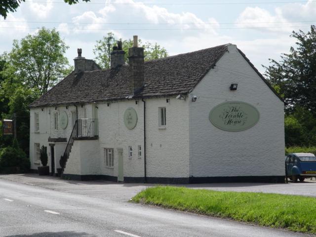
Trouble House Halt railway station

Trouble House Halt was a small station on the Tetbury branch line between Kemble and Tetbury between 1959 and 1964, when the line closed as part of the...

Duchy Home Farm

The Duchy Home Farm is an organic farm operated by the Duchy of Cornwall. The farm is part of the gardens of Highgrove House, the country home of King...

Culkerton Halt railway station

Culkerton Halt railway station served the hamlet of Culkerton, Gloucestershire, England, from 1889 to 1964 on the Tetbury Branch Line. == History == The...

Trull House

Trull House is a Grade II listed country house near the hamlet of Trull, to the north of the village of Ashley and about 3.4 miles (5.5 km) northeast of...

Nearby Amenities

Located within 500m of 51.657215,-2.1305906
Pub
Trouble House Cafe Bar
Addr Postcode: GL8 8SG
Addr Street: London Road
Fhrs Id: 637190
Phone: +44 1666 502206
Source: Local knowledge
Source Name: survey
Website: https://www.thetroublehouse.co.uk/
Lat/Long: 51.6573117/-2.1261
Power: pole
Lat/Long: 51.6593646/-2.1340053
Power: pole
Lat/Long: 51.6589862/-2.1326589
Power: pole
Lat/Long: 51.6583115/-2.1301201
Power: pole
Lat/Long: 51.6576789/-2.1276984
The data included in this document is from www.openstreetmap.org. The data is made available under ODbL.

Have you been to Tetbury Common?

Leave your review of Tetbury Common below (or comments, questions and feedback).