Snow's Down

Downs, Moorland in Dorset

England

Snow's Down

Hill Top Roundabout A350/A354
Hill Top Roundabout A350/A354 Credit: Paul Barnett

Snow's Down is a picturesque area located in the county of Dorset, England. Known for its stunning natural beauty, this region encompasses a combination of downs and moorland, offering visitors a diverse and captivating landscape to explore.

The downs of Snow's Down are characterized by rolling hills and expansive grasslands. These open spaces provide breathtaking panoramic views of the surrounding countryside, making it a popular destination for hikers and nature enthusiasts. The moorland, on the other hand, consists of heathland and peat bogs, creating a unique and diverse habitat for a variety of plant and animal species.

The area is renowned for its rich biodiversity, with numerous rare and protected species calling Snow's Down home. Visitors may encounter wild ponies, red deer, and a plethora of bird species, such as the iconic skylark and peregrine falcon. Additionally, the downs are adorned with vibrant displays of wildflowers during the spring and summer months, adding a touch of color to the landscape.

Snow's Down also boasts a network of well-maintained footpaths and trails, allowing visitors to explore the area at their leisure. Whether it's a leisurely stroll, a challenging hike, or a peaceful picnic, there is something for everyone to enjoy in this tranquil setting.

In addition to its natural beauty, Snow's Down offers a range of recreational activities. The area is a popular spot for paragliding and kite flying, thanks to its open and windy spaces. Furthermore, the downs are home to several ancient archaeological sites, including burial mounds and hill forts, providing a glimpse into the region's rich history.

Overall, Snow's Down in Dorset is a haven for nature lovers, adventure seekers, and history enthusiasts alike. Its stunning downs and moorland, diverse wildlife, and recreational opportunities make it an ideal destination for those seeking tranquility and natural beauty.

If you have any feedback on the listing, please let us know in the comments section below.
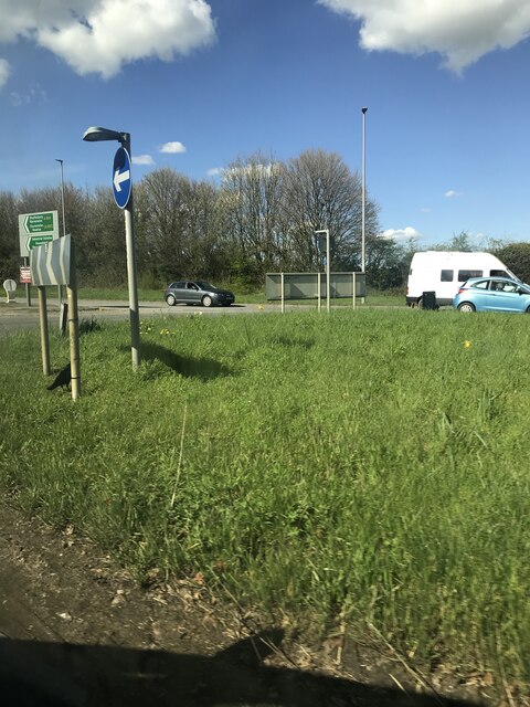
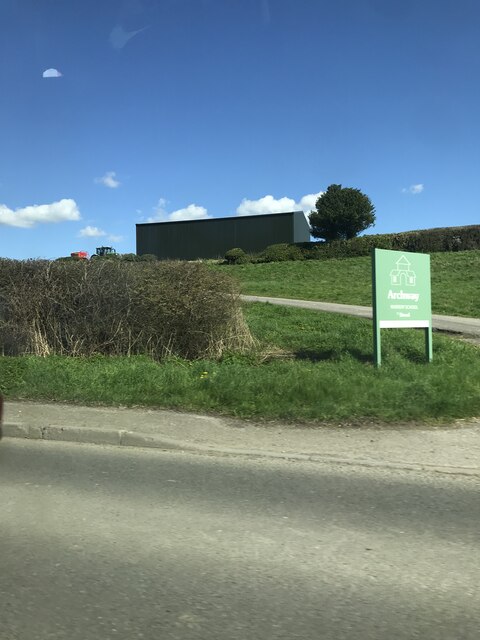
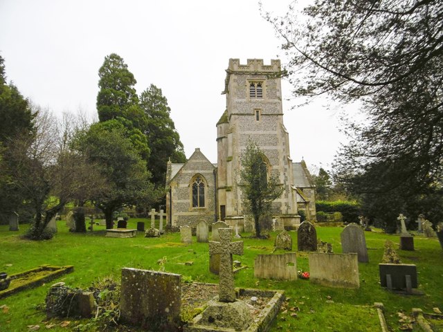
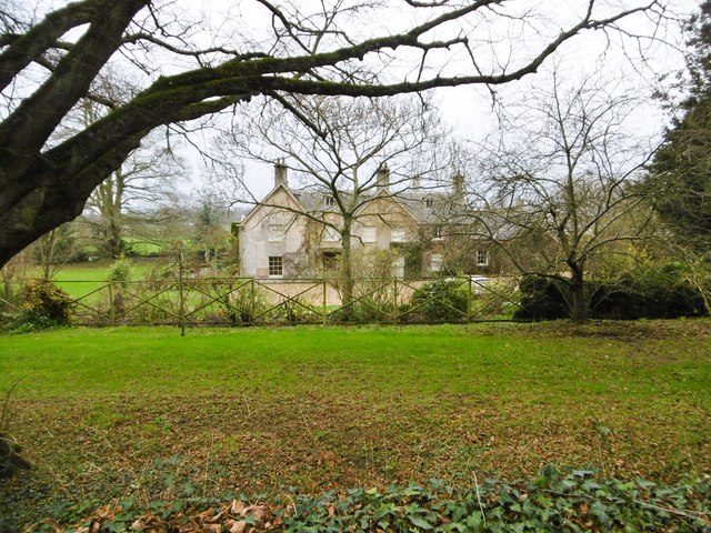
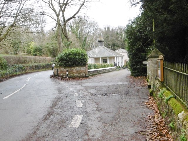
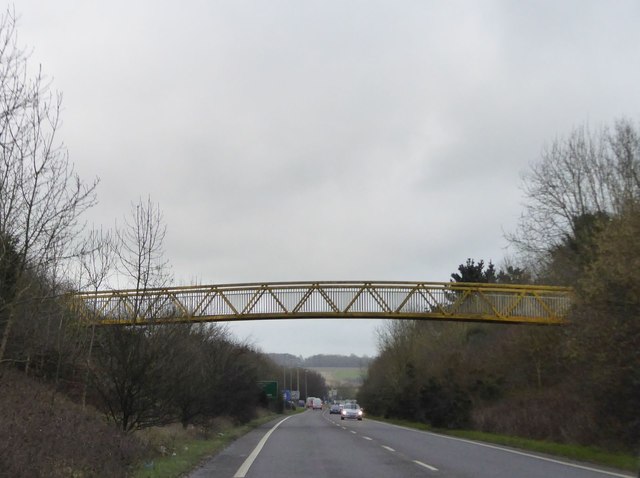
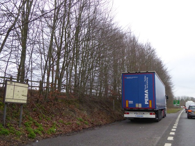
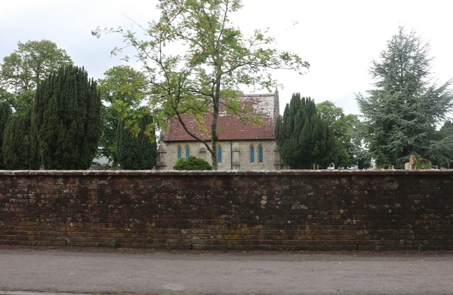
Snow's Down Images

Images are sourced within 2km of 50.865315/-2.128276 or Grid Reference ST9107. Thanks to Geograph Open Source API. All images are credited.

Hill Top Roundabout A350/A354
Signage for The Anvil Inn
Entrance to Archway Nursery School off A354
Langton Long, All Saints C19 parish church, listed by Historic England (Grade II): <span class="nowrap"><a title="http://www.britishlistedbuildings.co.uk/en-103723-church-of-all-saints-langton-long-blandf" rel="nofollow ugc noopener" href="http://www.britishlistedbuildings.co.uk/en-103723-church-of-all-saints-langton-long-blandf">Link</a><img style="margin-left:2px;" alt="External link" title="External link - shift click to open in new window" src="https://s1.geograph.org.uk/img/external.png" width="10" height="10"/></span>
Langton Long, All Saints
C19 parish church, listed by Historic England (Grade II): LinkExternal link
Langton Long, former rectory C18/19 former rectory, behind the parish church <a href="https://www.geograph.org.uk/photo/4766217">ST8905 : Langton Long, All Saints</a>; listed by Historic England <span class="nowrap"><a title="http://www.imagesofengland.org.uk/Details/Default.aspx?id=103722&mode=adv" rel="nofollow ugc noopener" href="http://www.imagesofengland.org.uk/Details/Default.aspx?id=103722&mode=adv">Link</a><img style="margin-left:2px;" alt="External link" title="External link - shift click to open in new window" src="https://s1.geograph.org.uk/img/external.png" width="10" height="10"/></span>
Langton Long, former rectory
C18/19 former rectory, behind the parish church ST8905 : Langton Long, All Saints; listed by Historic England LinkExternal link
Langton Long, South Lodge Former lodge to Langton House, now private; early C19, listed by Historic England: <span class="nowrap"><a title="http://www.imagesofengland.org.uk/Details/Default.aspx?id=103724&mode=adv" rel="nofollow ugc noopener" href="http://www.imagesofengland.org.uk/Details/Default.aspx?id=103724&mode=adv">Link</a><img style="margin-left:2px;" alt="External link" title="External link - shift click to open in new window" src="https://s1.geograph.org.uk/img/external.png" width="10" height="10"/></span>
Langton Long, South Lodge
Former lodge to Langton House, now private; early C19, listed by Historic England: LinkExternal link
Footbridge over A350, Blandford Forum by-pass
Shallow cutting on A350, Blandford Forum by-pass Just north of the roundabout where the A354 joins the by-pass
Shallow cutting on A350, Blandford Forum by-pass
Just north of the roundabout where the A354 joins the by-pass
Lay-by on A354, Blandford Forum by-pass There is a tourist information sign on this small lay-by, advertising North Dorset
Lay-by on A354, Blandford Forum by-pass
There is a tourist information sign on this small lay-by, advertising North Dorset
Old Milestone, Salisbury Road, Blandford Forum The milestone is located outside No. 115, by the roadside, on the south side of road. Parish of Blandford Forum (North Dorset District). Carved stone post, Dorset 1 (limestone) design, erected by the Harnham, Blandford & Dorchester turnpike trust in the 19th century. 

Inscription reads:-
Blandford
1
Sarum
21

Grade II Listed, List Entry Number: 1110834
<span class="nowrap"><a title="https://historicengland.org.uk/listing/the-list/list-entry/1110834" rel="nofollow ugc noopener" href="https://historicengland.org.uk/listing/the-list/list-entry/1110834">Link</a><img style="margin-left:2px;" alt="External link" title="External link - shift click to open in new window" src="https://s1.geograph.org.uk/img/external.png" width="10" height="10"/></span>

Milestone Society National ID: DO_BFSA01
Old Milestone, Salisbury Road, Blandford Forum
The milestone is located outside No. 115, by the roadside, on the south side of road. Parish of Blandford Forum (North Dorset District). Carved stone post, Dorset 1 (limestone) design, erected by the Harnham, Blandford & Dorchester turnpike trust in the 19th century. Inscription reads:- Blandford 1 Sarum 21 Grade II Listed, List Entry Number: 1110834 LinkExternal link Milestone Society National ID: DO_BFSA01
A354 Salisbury Road Entering the outskirts of Blandford Forum.
A354 Salisbury Road
Entering the outskirts of Blandford Forum.
Salisbury Road, Blandford Forum Heading towards the town centre.
Salisbury Road, Blandford Forum
Heading towards the town centre.
Modern housing beside Wimborne Road
Elizabeth Road, Blandford Forum
Larksmead, Blandford Forum
Roundabout on Salisbury Road, Blandford Forum
Salisbury Road, Blandford Forum
Blandford Cemetery chapel
Show me another place!

Snow's Down is located at Grid Ref: ST9107 (Lat: 50.865315, Lng: -2.128276)

Unitary Authority: Dorset

Police Authority: Dorset

What 3 Words

///steam.grit.remover. Near Pimperne, Dorset

Related Wikis

Royal Signals Museum

The Royal Signals Museum is a military museum based at Blandford Camp in the civil parish of Tarrant Monkton, northwest of the town of Blandford Forum...

Defence School of Communications and Information Systems

The Defence School of Communications and Information Systems (DSCIS) is a Defence Training Establishment of the British Ministry of Defence. It was formed...

Blandford Camp

Blandford Camp is a military base comprising some 390 hectares of downland lying 2 miles (3 km) north-east of Blandford Forum in the county of Dorset in...

Buzbury Rings

Buzbury Rings is an Iron Age hillfort about 2 miles (3.2 km) east of Blandford Forum and 1 mile (1.6 km) northwest of the village of Tarrant Keyneston...

Langton Long Blandford

Langton Long Blandford is a small village and civil parish in the county of Dorset in southern England. It is sited by the River Stour, approximately 3...

Pimperne Hundred

Pimperne Hundred was a hundred in the county of Dorset, England, containing the following parishes: Bryanston Durweston Fifehead Neville Hammoon Hazelbury...

Pimperne

Pimperne ( PIM-pərn) is a village and civil parish in north Dorset, England, situated on Cranborne Chase two miles (three kilometres) northeast of the...

Blandford Forum railway station

Blandford Forum railway station was a station on the Somerset & Dorset Joint Railway which served the town of Blandford Forum. == History == Originally...

Nearby Amenities

Located within 500m of 50.865315,-2.128276
Landuse: military
Military: checkpoint
Lat/Long: 50.8677899/-2.1253507
The data included in this document is from www.openstreetmap.org. The data is made available under ODbL.

Have you been to Snow's Down?

Leave your review of Snow's Down below (or comments, questions and feedback).