Braeside

Downs, Moorland in Aberdeenshire

Scotland

Braeside

Amateur radio antenna
Amateur radio antenna Credit: Les Harvey

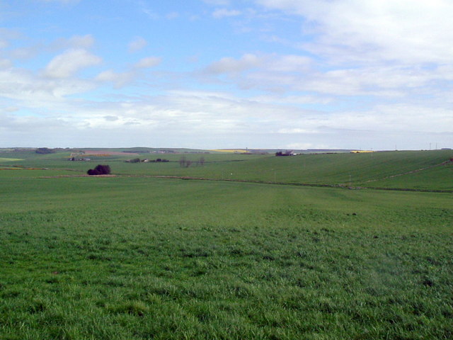
Braeside is a charming village located in Aberdeenshire, Scotland. Situated amidst picturesque downs and moorland, it offers residents and visitors a scenic and serene environment. The village is nestled within the stunning landscapes of the Grampian Mountains, providing breathtaking views of rolling hills and lush greenery.

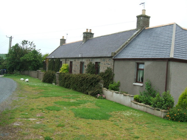
With a population of around 500, Braeside maintains a close-knit community feel. The village is known for its peaceful ambiance, making it an ideal retreat for those seeking tranquility away from the hustle and bustle of city life. The surrounding downs and moorland offer ample opportunities for outdoor enthusiasts, including hiking, cycling, and nature walks.

Braeside is also home to a variety of wildlife, with many rare and protected species inhabiting the area. Birdwatchers will delight in the opportunity to spot species such as red grouse, golden eagles, and peregrine falcons. The village's location in the heart of Aberdeenshire also makes it a prime spot for exploring the region's rich history and heritage.

While Braeside may be a small village, it boasts a vibrant community spirit. The village has a local primary school, a village hall, and a community center, which serve as gathering places for residents. The Braeside Annual Highland Games is a highlight of the village's social calendar, attracting visitors from near and far.

Overall, Braeside offers a tranquil and picturesque setting, making it a perfect destination for nature lovers, outdoor enthusiasts, and those seeking a peaceful retreat in the stunning Scottish countryside.

If you have any feedback on the listing, please let us know in the comments section below.
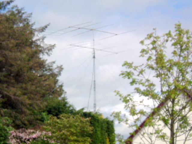
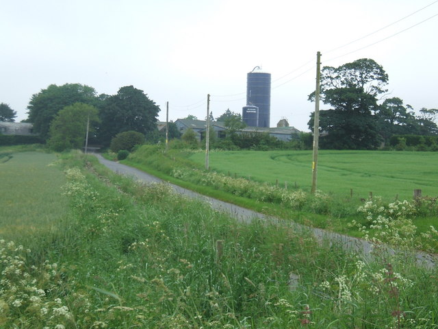
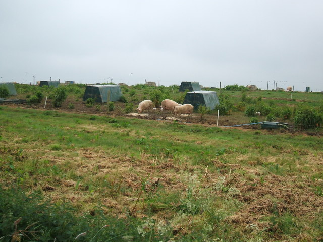
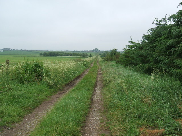
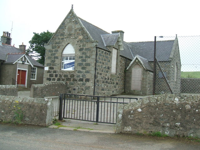
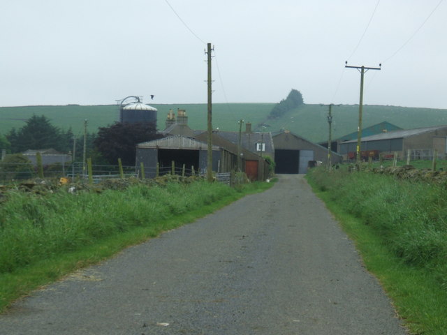
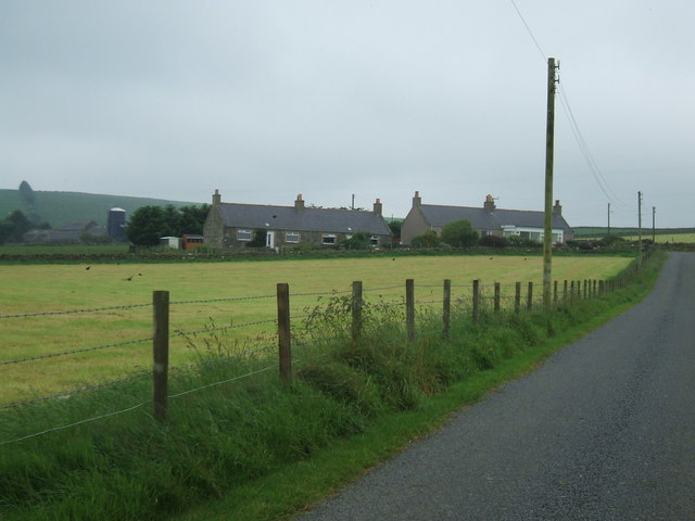
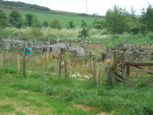
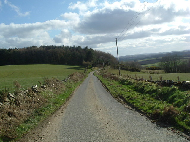
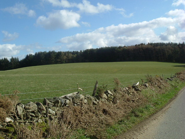
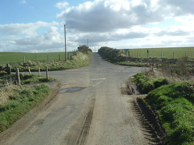
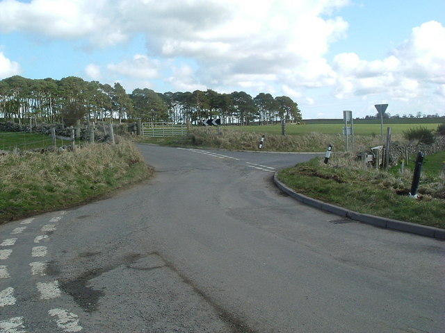
Braeside Images

Images are sourced within 2km of 57.441682/-2.1512805 or Grid Reference NJ9139. Thanks to Geograph Open Source API. All images are credited.

Amateur radio antenna
View  east Looking toward Overton of Auchnagatt
View east
Looking toward Overton of Auchnagatt
Phone mast at Inkhorn ....with pile of fertiliser in mid shot awaiting distribution before the next ploughing....
Phone mast at Inkhorn
....with pile of fertiliser in mid shot awaiting distribution before the next ploughing....
Mains of Inkhorn 'Busy' looking farm.
Trees in mid-distance (along top of right hand shed) mark the line of the old Formartine Railway.
Mains of Inkhorn
'Busy' looking farm. Trees in mid-distance (along top of right hand shed) mark the line of the old Formartine Railway.
Cloffrickford Farm
Cloffrickford Farm
Cotter Hoose at Coffrickford
Greens of Savoch
Greens of Savoch
Pig farming at Loanhead
Road to Knoxhill
Road to Knoxhill
Track towards Savoch Moss
Braeside School Small rural primary school. Closed c.2005. Potential for development into residential property?
Braeside School
Small rural primary school. Closed c.2005. Potential for development into residential property?
Skilmafilly Farm
Skilmafilly Farm
Cotter Houses at Skilmafilly
Old sheep pens at Skilmafilly
Looking south near Skelmonae
Looking south
near Skelmonae
Hill of Skelmonae
Hill of Skelmonae
Crossroads near Quilquox
Crossroads at Quilquox
Show me another place!

Braeside is located at Grid Ref: NJ9139 (Lat: 57.441682, Lng: -2.1512805)

Unitary Authority: Aberdeenshire

Police Authority: North East

What 3 Words

///lightly.tailwind.spare. Near Ellon, Aberdeenshire

Nearby Locations

Braeside

Related Wikis

Nearby Amenities

Located within 500m of 57.441682,-2.1512805
Power: pole
Lat/Long: 57.4418356/-2.1592238
Power: pole
Lat/Long: 57.4417497/-2.1579617
Power: pole
Lat/Long: 57.4416682/-2.1567374
Power: pole
Lat/Long: 57.4416124/-2.1559359
Power: pole
Lat/Long: 57.4415566/-2.1551224
Power: pole
Lat/Long: 57.4415029/-2.1543388
Power: pole
Lat/Long: 57.4409889/-2.1539221
Power: pole
Lat/Long: 57.4421564/-2.1566537
Power: pole
Lat/Long: 57.4426693/-2.157216
Power: pole
Lat/Long: 57.4433152/-2.1579358
Power: pole
Lat/Long: 57.4417755/-2.1535911
Power: pole
Lat/Long: 57.4421135/-2.1526939
Power: pole
Lat/Long: 57.4424965/-2.1519063
Power: pole
Lat/Long: 57.4429858/-2.1511566
Power: pole
Lat/Long: 57.44343/-2.1504727
Power: pole
Lat/Long: 57.4434719/-2.1493561
Power: pole
Lat/Long: 57.4435298/-2.1481797
Power: pole
Lat/Long: 57.4435888/-2.1470013
Power: pole
Lat/Long: 57.4436393/-2.145787
Power: pole
Lat/Long: 57.4440792/-2.1449596
Power: pole
Lat/Long: 57.4402842/-2.1437769
Power: pole
Lat/Long: 57.4408746/-2.1443678
Power: pole
Lat/Long: 57.4415277/-2.1449862
Power: pole
Lat/Long: 57.4421512/-2.1455898
Power: pole
Lat/Long: 57.442615/-2.1460473
Power: pole
Lat/Long: 57.4430857/-2.1465026
Power: pole
Lat/Long: 57.4425296/-2.1442407
Power: pole
Lat/Long: 57.4423415/-2.1449015
Power: pole
Lat/Long: 57.441897/-2.1462061
Power: pole
Lat/Long: 57.4416804/-2.1468373
Power: pole
Lat/Long: 57.4415266/-2.1473096
Power: pole
Lat/Long: 57.4413077/-2.1480085
The data included in this document is from www.openstreetmap.org. The data is made available under ODbL.

Have you been to Braeside?

Leave your review of Braeside below (or comments, questions and feedback).