Burgess Green
Downs, Moorland in Worcestershire Wyre Forest
England
Burgess Green
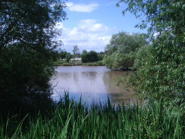
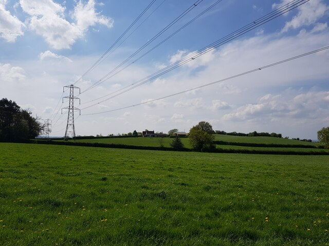
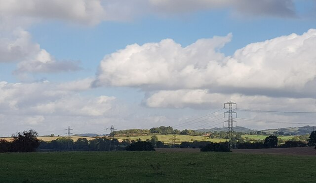
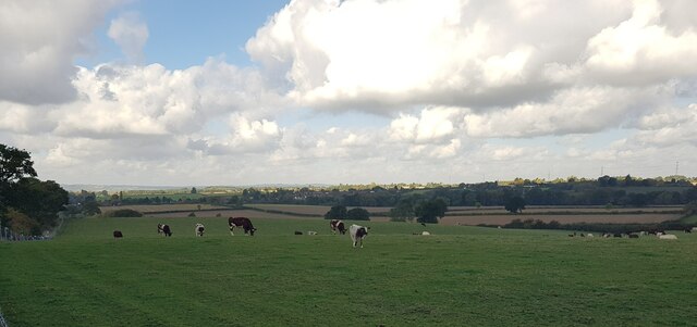
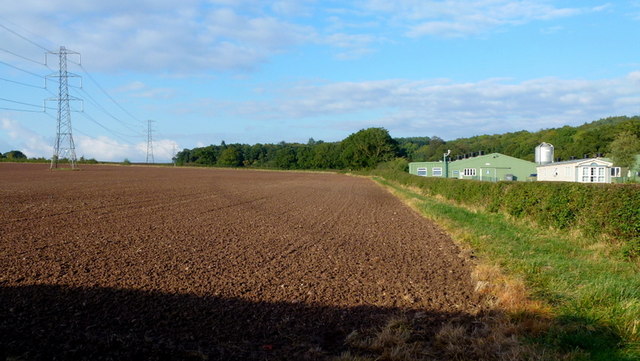
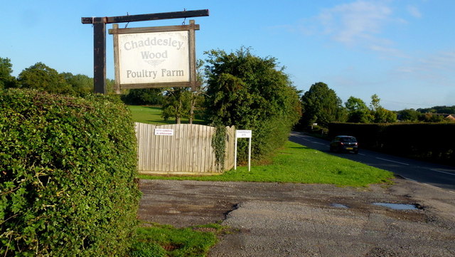
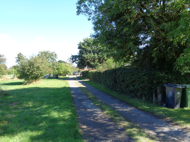
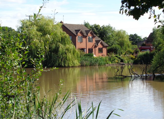
Burgess Green is a picturesque village located in Worcestershire, England, known for its breathtaking downs and moorland landscapes. Situated amidst rolling hills and verdant countryside, this idyllic village offers a tranquil retreat from the bustle of city life. The area is renowned for its natural beauty and is frequented by nature enthusiasts, hikers, and those seeking a peaceful getaway.
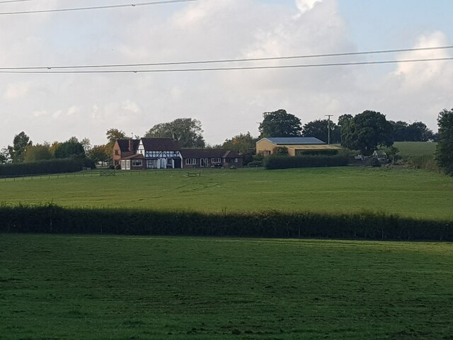
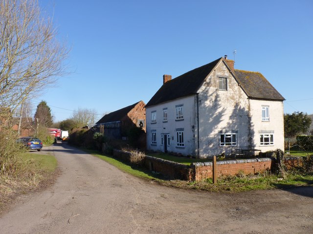
The village itself is charming, with quaint cottages and traditional architecture that exudes a sense of history and heritage. The local community is close-knit and welcoming, with a strong sense of community spirit evident in the various events and gatherings that take place throughout the year.
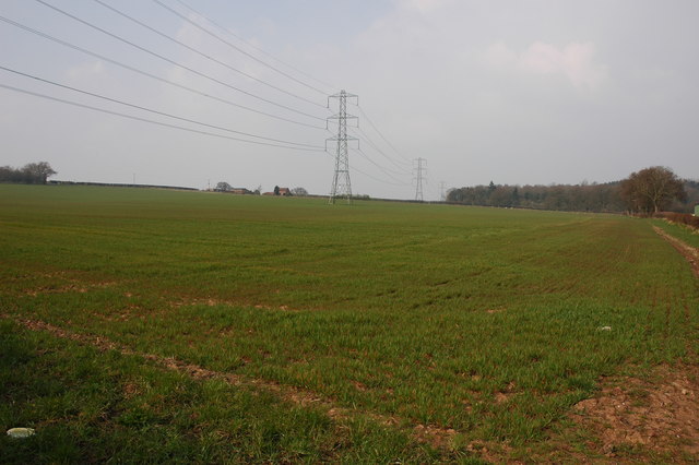
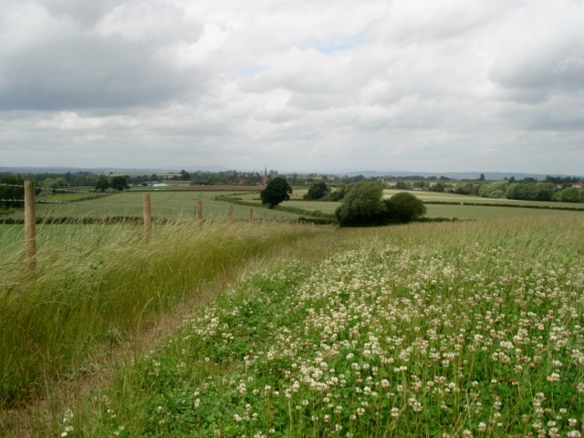
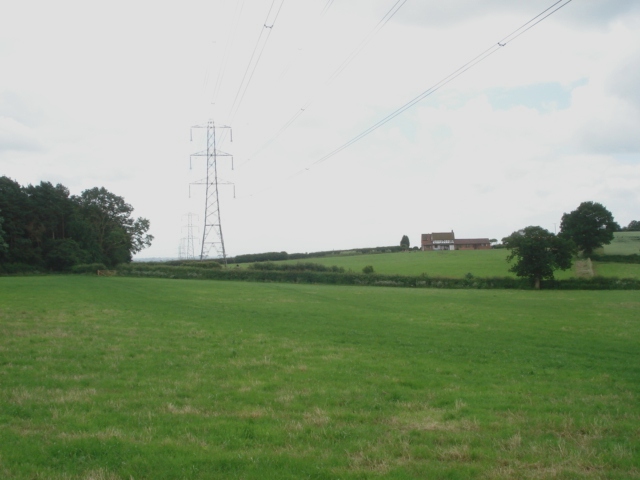
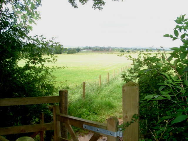
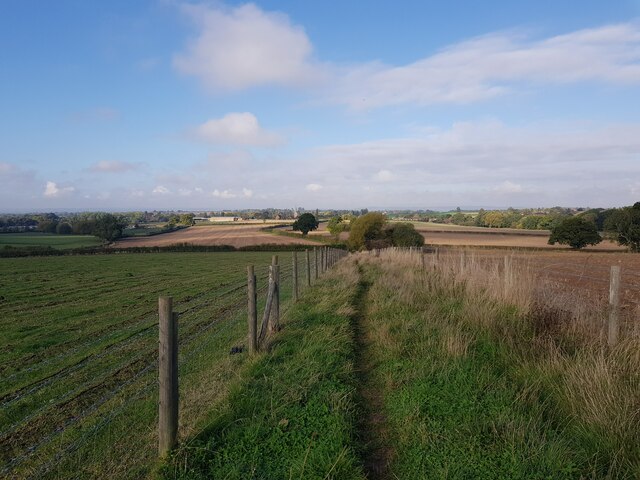
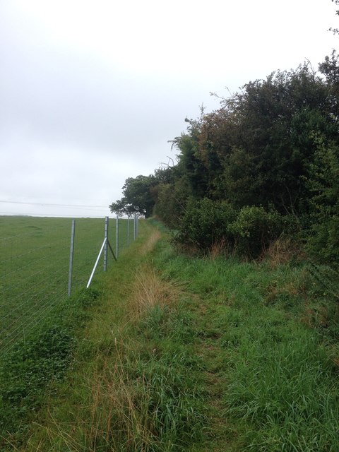
The downs that surround Burgess Green are a defining feature of the landscape. These vast grassy hills provide panoramic views of the countryside and are perfect for leisurely walks or picnics. The moorland, on the other hand, offers a different kind of beauty, with its rugged terrain, heather-covered hills, and winding trails. It is a haven for wildlife, attracting birdwatchers and nature photographers.
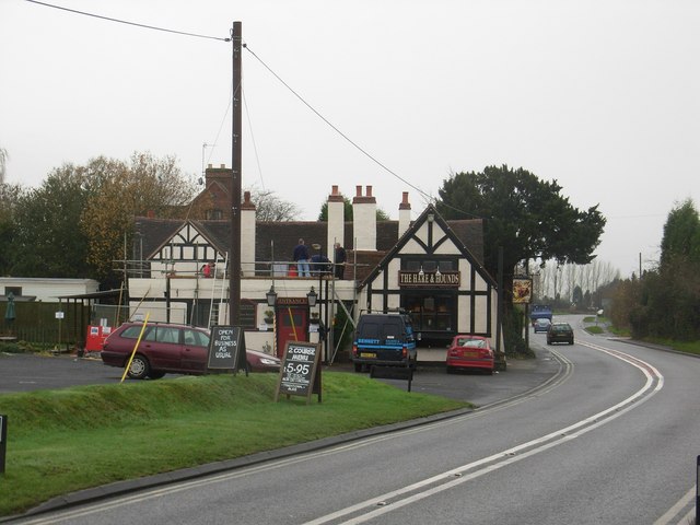
In addition to its natural wonders, Burgess Green boasts a range of amenities to cater to both residents and visitors. These include charming pubs, local shops, and quaint tea rooms, where one can indulge in traditional English fare and relax in a cozy atmosphere.
Overall, Burgess Green, Worcestershire, with its downs, moorland, and welcoming community, is a place to unwind, connect with nature, and experience the timeless charm of rural England.
If you have any feedback on the listing, please let us know in the comments section below.
Burgess Green Images
Images are sourced within 2km of 52.352398/-2.1688681 or Grid Reference SO8872. Thanks to Geograph Open Source API. All images are credited.
Burgess Green is located at Grid Ref: SO8872 (Lat: 52.352398, Lng: -2.1688681)
Administrative County: Worcestershire
District: Wyre Forest
Police Authority: West Mercia
What 3 Words
///fearfully.briskly.acrobatic. Near Hartlebury, Worcestershire
Nearby Locations
Related Wikis

Chaddesley Corbett
Chaddesley Corbett is a village and civil parish in the Wyre Forest District of Worcestershire, England. The Anglican and secular versions of the parish...

Rushock
Rushock is a village and civil parish in the Wyre Forest District of Worcestershire, England. At the 2001 census it had a population of 138. The grave...

Harvington Hall
Harvington Hall is a moated medieval and Elizabethan manor house in the hamlet of Harvington in the civil parish of Chaddesley Corbett, southeast of Kidderminster...

Spennells
Spennells is a suburb of Kidderminster, Worcestershire about a mile south of the town centre. It is located just to the east of the A449 and the railway...
Shenstone, Worcestershire
Shenstone is a village in Worcestershire, England, located near Kidderminster.

Tanwood
Tanwood is a hamlet in the English county of Worcestershire. It lies about one mile northeast of the village of Chaddesley Corbett and forms part of the...

Chaddesley Woods National Nature Reserve
Chaddesley Woods National Nature Reserve is situated near the village of Chaddesley Corbett, in Worcestershire, England. It is a reserve of the Worcestershire...
Badge Court
Badge Court is an estate in Worcestershire, England. Originally known as Batchcott, the home's most famous occupant was Helena Wintour, daughter of Gunpowder...
Nearby Amenities
Located within 500m of 52.352398,-2.1688681Have you been to Burgess Green?
Leave your review of Burgess Green below (or comments, questions and feedback).