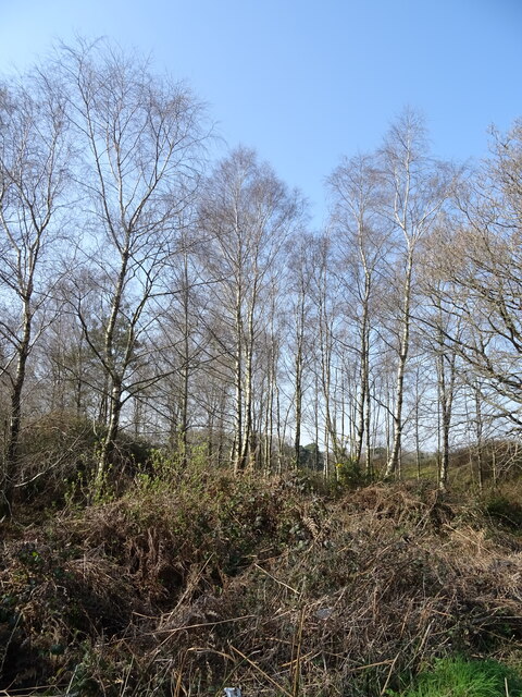
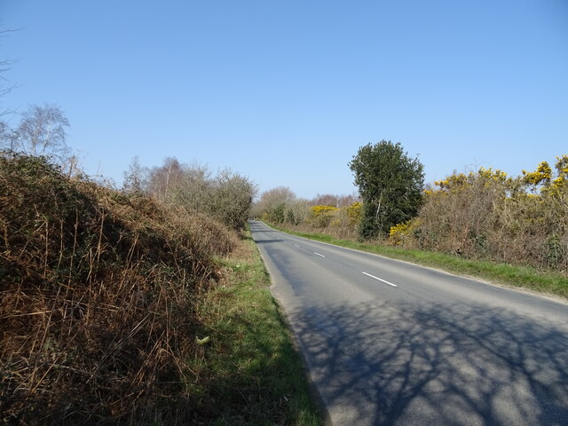
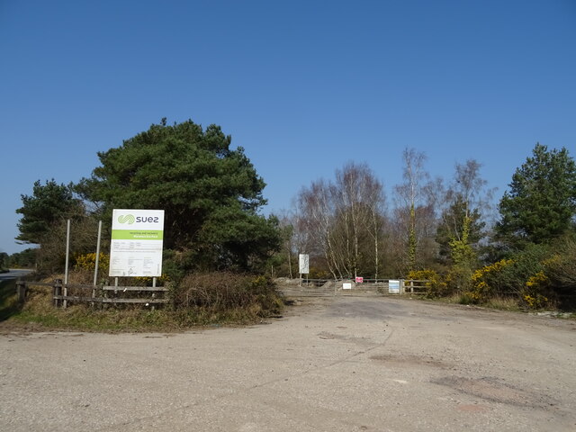
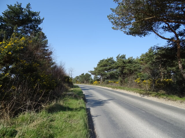
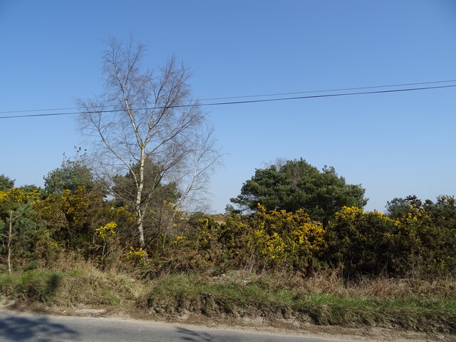
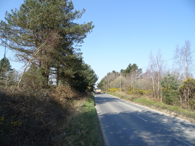
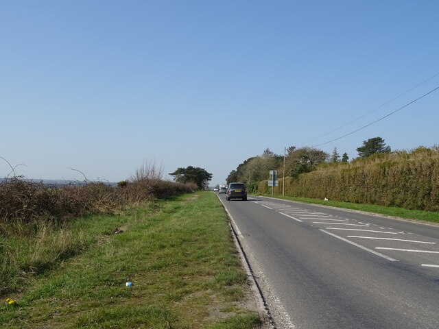
Rushton Common

Downs, Moorland in Dorset

England

Rushton Common

Grazing, East Stoke
Grazing, East Stoke Credit: JThomas

The requested URL returned error: 429 Too Many Requests

If you have any feedback on the listing, please let us know in the comments section below.

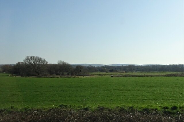
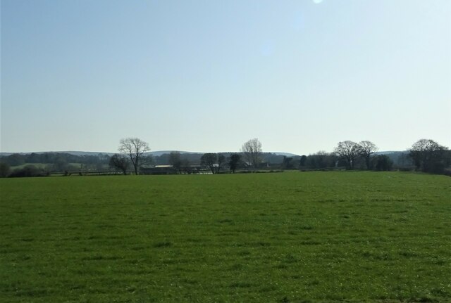
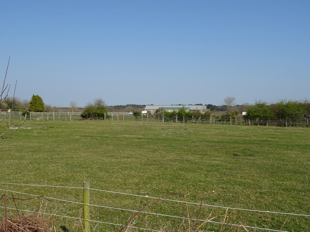
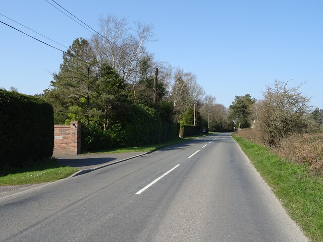
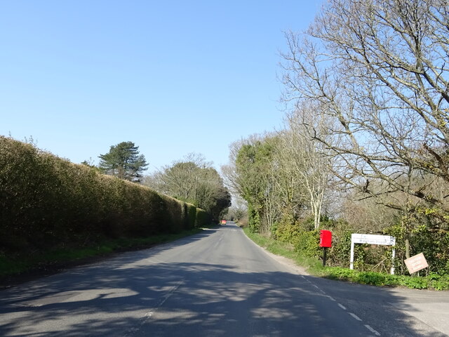
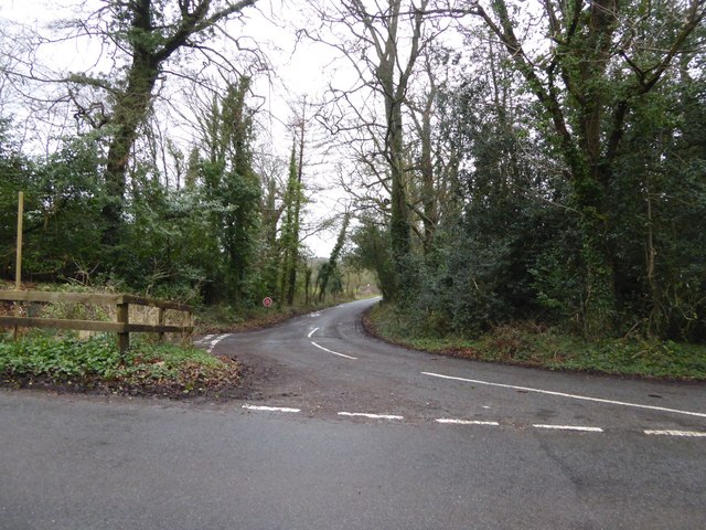
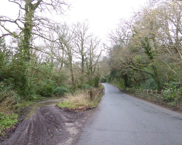
Rushton Common Images

Images are sourced within 2km of 50.679197/-2.1625702 or Grid Reference SY8886. Thanks to Geograph Open Source API. All images are credited.

Grazing, East Stoke
Grazing, East Stoke
Grazing towards Rushton Farm
Grazing, Worgret
Grazing, Worgret
Puddletown Road
Puddletown Road
Birch woodland beside Puddletown Road
Puddletown Road
Puddletown Road
Entrance to Wareham Eco Park
Bend in Puddletown Road
Woodland beside Puddletown Road
Puddletown Road
Puddletown Road
Grazing, Worgret
Grazing, Worgret
A352 towards Wool
A352 towards Wool
Elizabeth II postbox, Worgret Postbox No. BH20 112.
Elizabeth II postbox, Worgret
Postbox No. BH20 112.
Puddletown Road, Worgret Showing position of Postbox No. BH20 112.
Puddletown Road, Worgret
Showing position of Postbox No. BH20 112.
Track signed to "Foxhound Firing Point" This is a right of way until the edge of the military zone
Track signed to "Foxhound Firing Point"
This is a right of way until the edge of the military zone
Junction for East Holme from Holme Lane
Bridge and ford on Holme Lane
Military flagpole by Holme Lane The training area borders the road here; a gate in the fence beyond the pole gives access to authorised personnel
Military flagpole by Holme Lane
The training area borders the road here; a gate in the fence beyond the pole gives access to authorised personnel
Show me another place!

Rushton Common is located at Grid Ref: SY8886 (Lat: 50.679197, Lng: -2.1625702)

Unitary Authority: Dorset

Police Authority: Dorset

What 3 Words

///ambitions.concerned.squeaking. Near Wareham, Dorset

Nearby Locations

Rushton Common

Related Wikis

Worgret Heath

Worgret Heath SSSI, Dorset (grid reference SY895871) is an 8.4 hectare biological Site of Special Scientific Interest in Dorset, notified in 1987.The site...

East Holme

East Holme is a small village and civil parish situated about halfway between Wool and Wareham in Dorset, England. The village is sprawled around a large...

East Stoke, Dorset

East Stoke is a village in the English county of Dorset. It lies three miles west of the small town of Wareham and two miles east of Wool. In 2013 the...

Holme Priory

Holme Priory, also known as East Holne Priory, was a priory in Dorset, England. == 12th century == The priory of Holme, or Holne as it was anciently called...
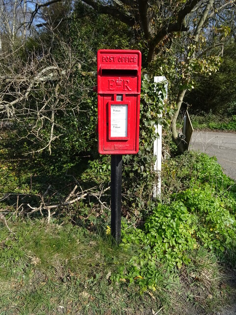
Nearby Amenities

Located within 500m of 50.679197,-2.1625702
Material: wood
Power: pole
Source: bing
Lat/Long: 50.6829676/-2.1592256
Material: wood
Power: pole
Source: bing
Lat/Long: 50.6830035/-2.1597656
Location: underground
Source: survey
Water: wash_out
Lat/Long: 50.6827994/-2.1620995
Fire Hydrant
Emergency: fire_hydrant
Fire Hydrant Diameter: 4 inch
Fire Hydrant Type: underground
Ref: 3629
Source: GPS+GLONASS
Lat/Long: 50.682796/-2.162085
Fire Hydrant
Emergency: fire_hydrant
Fire Hydrant Diameter: 4 inch
Fire Hydrant Type: underground
Ref: 3531
Source: GPS+GLONASS
Lat/Long: 50.682964/-2.165266
Farrer Estate
Lat/Long: 50.6832563/-2.1622226
The data included in this document is from www.openstreetmap.org. The data is made available under ODbL.

Have you been to Rushton Common?

Leave your review of Rushton Common below (or comments, questions and feedback).