Bryanston Park

Downs, Moorland in Dorset

England

Bryanston Park

Red Lion Yard Yard at the back of the former Red Lion Inn on Market Place.
Red Lion Yard Credit: Ian Capper

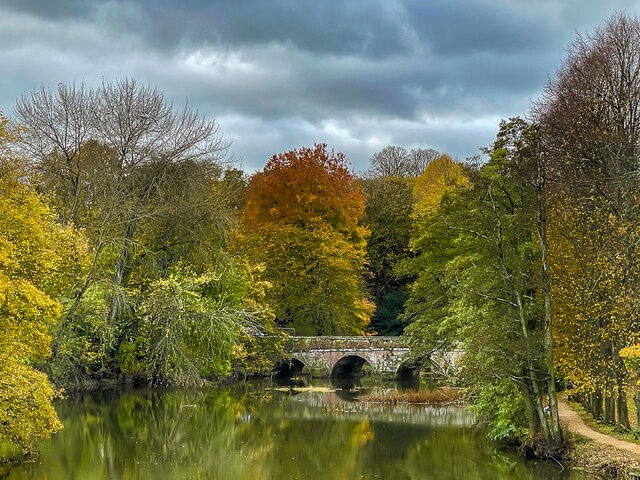
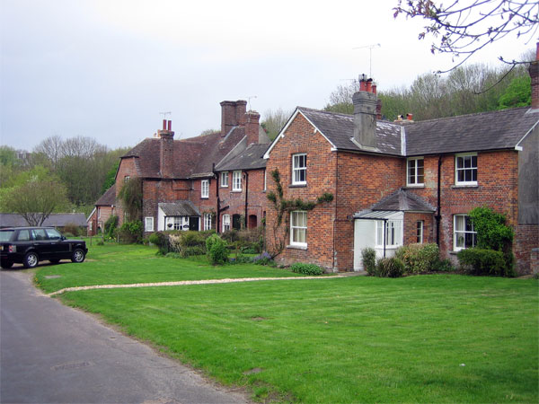
Bryanston Park is a picturesque park located in Dorset, England. Spanning over a vast area, it is known for its stunning downs and moorland landscapes that offer visitors a chance to immerse themselves in the natural beauty of the surrounding countryside.

The park is home to a diverse range of flora and fauna, making it a haven for nature enthusiasts. The downs, with their rolling hills and open grasslands, provide a perfect spot for leisurely walks and picnics. Visitors can enjoy breathtaking views of the countryside and take in the tranquility of the surroundings.

The moorland in Bryanston Park is another highlight, featuring heathlands and expansive stretches of wild vegetation. It is a unique ecosystem that supports a variety of rare plants and wildlife species. Birdwatchers will be delighted by the presence of numerous bird species, including the iconic red grouse and the elusive nightjar.

In addition to its natural wonders, Bryanston Park boasts historical significance. The park is dotted with ancient burial mounds and archaeological sites, providing insight into the area's rich past. These remnants of ancient civilizations add an extra layer of intrigue to the park's charm.

Bryanston Park is a popular destination for outdoor activities such as hiking, cycling, and horse riding. With its well-maintained trails and facilities, it offers a safe and enjoyable experience for visitors of all ages. Whether one is seeking a peaceful retreat in nature, an educational expedition, or an adventure-filled day, Bryanston Park is a must-visit destination in Dorset.

If you have any feedback on the listing, please let us know in the comments section below.

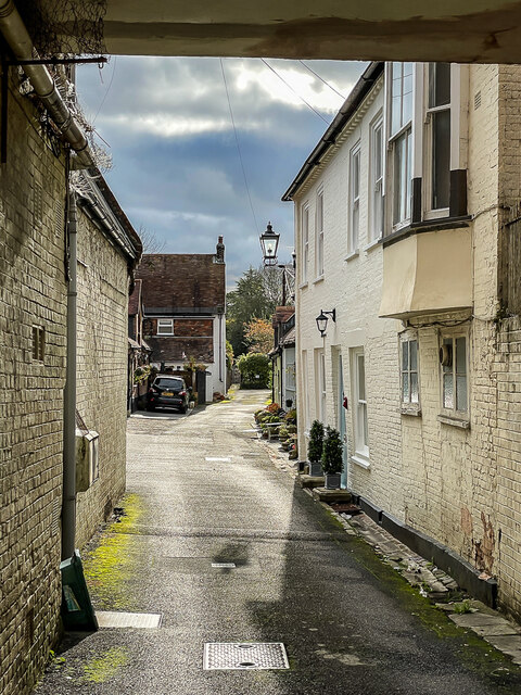
Bryanston Park Images

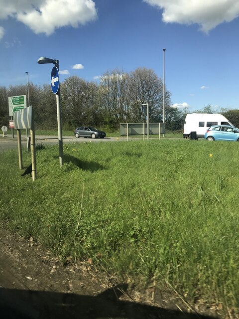
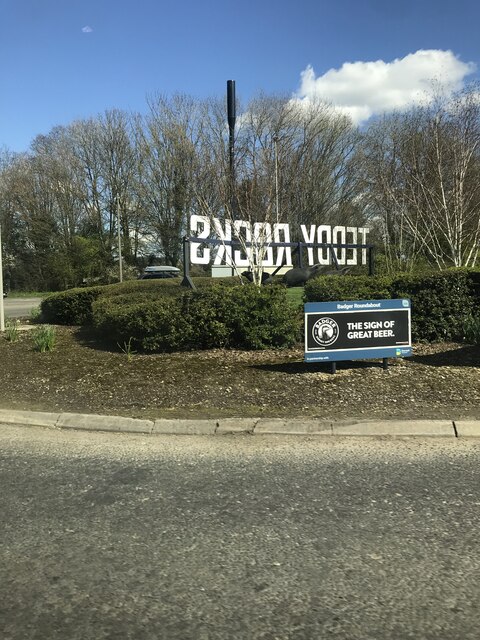
Images are sourced within 2km of 50.861714/-2.1727816 or Grid Reference ST8706. Thanks to Geograph Open Source API. All images are credited.

Red Lion Yard Yard at the back of the former Red Lion Inn on Market Place.
Red Lion Yard
Yard at the back of the former Red Lion Inn on Market Place.
River Stour River Stour at Blandford Forum, viewed from Mortain Bridge footbridge, with the 1783 Blandford Bridge in the background.
River Stour
River Stour at Blandford Forum, viewed from Mortain Bridge footbridge, with the 1783 Blandford Bridge in the background.
Remembrance display Remembrance display in front of the early 18th Century Church of St Peter and St Paul.
Remembrance display
Remembrance display in front of the early 18th Century Church of St Peter and St Paul.
Remembrance display Remembrance display in front of the early 18th Century Church of St Peter and St Paul.
Remembrance display
Remembrance display in front of the early 18th Century Church of St Peter and St Paul.
Legion House Mid 18th Century house in Church Lane, now occupied by the British Legion.  Grade I listed - see <span class="nowrap"><a title="www.historicengland.org.uk/listing/the-list/list-entry/1152976" rel="nofollow ugc noopener" href="http://www.historicengland.org.uk/listing/the-list/list-entry/1152976">Link</a><img style="margin-left:2px;" alt="External link" title="External link - shift click to open in new window" src="https://s1.geograph.org.uk/img/external.png" width="10" height="10"/></span>.  The gate and railings are separately grade II listed - see <span class="nowrap"><a title="www.historicengland.org.uk/listing/the-list/list-entry/1108652" rel="nofollow ugc noopener" href="http://www.historicengland.org.uk/listing/the-list/list-entry/1108652">Link</a><img style="margin-left:2px;" alt="External link" title="External link - shift click to open in new window" src="https://s1.geograph.org.uk/img/external.png" width="10" height="10"/></span>.
Legion House
Mid 18th Century house in Church Lane, now occupied by the British Legion. Grade I listed - see LinkExternal link. The gate and railings are separately grade II listed - see LinkExternal link.
1 Market Place 18th Century building in Market Place.  Grade II* listed - see <span class="nowrap"><a title="www.historicengland.org.uk/listing/the-list/list-entry/1108683" rel="nofollow ugc noopener" href="http://www.historicengland.org.uk/listing/the-list/list-entry/1108683">Link</a><img style="margin-left:2px;" alt="External link" title="External link - shift click to open in new window" src="https://s1.geograph.org.uk/img/external.png" width="10" height="10"/></span>.
1 Market Place
18th Century building in Market Place. Grade II* listed - see LinkExternal link.
Blandford Community Hospital
Hill Top Roundabout A350/A354
Badger  Roundabout A350/A354
Badger Roundabout A350/A354
Benchmark on #35 Salisbury Road, Blandford Forum Ordnance Survey benchmark on commercial building. More information can be found here: <span class="nowrap"><a title="https://www.bench-marks.org.uk/bm33527" rel="nofollow ugc noopener" href="https://www.bench-marks.org.uk/bm33527">Link</a><img style="margin-left:2px;" alt="External link" title="External link - shift click to open in new window" src="https://s1.geograph.org.uk/img/external.png" width="10" height="10"/></span>
Benchmark on #35 Salisbury Road, Blandford Forum
Ordnance Survey benchmark on commercial building. More information can be found here: LinkExternal link
Southover Close
Southover Close
Entrance to Blandford St Mary CE Primary School
Southover Close
Southover Close
Langton Long, Langton Farm
Footbridge over A350, Blandford Forum by-pass
Shallow cutting on A350, Blandford Forum by-pass Just north of the roundabout where the A354 joins the by-pass
Shallow cutting on A350, Blandford Forum by-pass
Just north of the roundabout where the A354 joins the by-pass
Lay-by on A354, Blandford Forum by-pass There is a tourist information sign on this small lay-by, advertising North Dorset
Lay-by on A354, Blandford Forum by-pass
There is a tourist information sign on this small lay-by, advertising North Dorset
Blandford Forum by-pass dropping into valley of River Stour The by-pass crosses the wide flood plain between roundabouts for the B3082 and A350.  The minor road on the left follows the edge of the flood plain and the by-pass is raised above the fields, hence the crash barriers
Blandford Forum by-pass dropping into valley of River Stour
The by-pass crosses the wide flood plain between roundabouts for the B3082 and A350. The minor road on the left follows the edge of the flood plain and the by-pass is raised above the fields, hence the crash barriers
Show me another place!

Bryanston Park is located at Grid Ref: ST8706 (Lat: 50.861714, Lng: -2.1727816)

Unitary Authority: Dorset

Police Authority: Dorset

What 3 Words

///producers.dialect.secret. Near Blandford Forum, Dorset

Nearby Locations

Bryanston Park Bryanston

Related Wikis

The Blandford School

The Blandford School is a coeducational secondary school located in Blandford Forum in the English county of Dorset.It is a voluntary controlled school...

Coombs Ditch Hundred

Coombs Ditch Hundred was a hundred in the county of Dorset, England, containing the following parishes: Anderson Blandford Forum (borough from 1605) Blandford...

Bryanston

Bryanston is a village and civil parish in north Dorset, England, situated on the River Stour 1 mile (1.5 kilometres) west of Blandford Forum. In the...

Blandford Forum Town Hall

Blandford Forum Town Hall is a municipal building in the Market Place in Blandford Forum, Dorset, England. The 18th-century structure, which was the meeting...

Nearby Amenities

Located within 500m of 50.861714,-2.1727816
Crossing
Crossing: marked
Crossing Markings: yes
Crossing Ref: zebra
Lat/Long: 50.8624973/-2.167782
Turning Circle
Lat/Long: 50.8639673/-2.1666746
Post Box
Post Box Type: lamp
Ref GB Uprn: 10015451438
Lat/Long: 50.861768/-2.167134
Traffic Calming: cushion
Lat/Long: 50.8638323/-2.1689685
Traffic Calming: cushion
Lat/Long: 50.8611481/-2.1663984
Traffic Calming: cushion
Lat/Long: 50.8620207/-2.1672983
Crossing
Crossing: marked
Crossing Markings: yes
Lat/Long: 50.8644655/-2.1696367
Bus Stop
Blandford Hospital
Bus: yes
Naptan AtcoCode: 1200DOY38521
Naptan Bearing: SE
Naptan BusStopType: CUS
Naptan CommonName: Blandford Hospital
Naptan Indicator: SE-bound
Naptan NaptanCode: doratwgt
Naptan Street: Milldown Road
Naptan Verified: no
Public Transport: platform
Lat/Long: 50.8619714/-2.1671686
Bus Stop
The Blandford School
Bus: yes
Naptan AtcoCode: 1200WDY38466
Naptan Bearing: NW
Naptan CommonName: The Blandford School
Naptan Indicator: NW-bound
Naptan NaptanCode: doratwdj
Naptan Street: Mill Down Road
Naptan Verified: no
Public Transport: platform
Lat/Long: 50.8619483/-2.1695595
Bus Stop
Milldown Primary School
Bus: yes
Naptan AtcoCode: 1200POA10506
Naptan Bearing: NW
Naptan CommonName: Milldown School
Naptan Indicator: NW-bound
Naptan NaptanCode: doratwdg
Naptan Street: Milldown Road
Naptan Verified: no
Public Transport: platform
Lat/Long: 50.8643134/-2.1695234
Crossing
Crossing: marked
Crossing Markings: yes
Lat/Long: 50.8615636/-2.1668469
Traffic Calming: cushion
Lat/Long: 50.8633417/-2.1686811
Traffic Calming: cushion
Lat/Long: 50.8641868/-2.1692955
Traffic Calming: cushion
Lat/Long: 50.8648852/-2.1701626
Traffic Calming: cushion
Lat/Long: 50.8652088/-2.1705811
Crossing
Crossing: marked
Crossing Markings: yes
Lat/Long: 50.8615985/-2.1692801
Bus Stop
Blandford Hospital
Bus: yes
Naptan AtcoCode: 1200POA10369
Naptan Bearing: NE
Naptan CommonName: Blandford Hospital
Naptan Indicator: NE-bound
Naptan NaptanCode: doratwjp
Naptan Street: Jubilee Way
Naptan Verified: no
Public Transport: platform
Lat/Long: 50.862465/-2.1671256
Bus Stop
Blandford Hospital
Bus: yes
Naptan AtcoCode: 1200DOY29287
Naptan Bearing: NW
Naptan CommonName: Blandford Hospital
Naptan Indicator: NW-bound
Naptan NaptanCode: doratwgp
Naptan Street: Milldown Road
Naptan Verified: no
Public Transport: platform
Lat/Long: 50.8619351/-2.1672946
Power: pole
Source: bing
Transformer: distribution
Lat/Long: 50.8605443/-2.1786658
Power: pole
Source: bing
Lat/Long: 50.8630998/-2.1746881
Power: pole
Source: bing
Lat/Long: 50.863226/-2.1758603
Power: pole
Source: bing
Lat/Long: 50.8624828/-2.1774991
Power: pole
Source: bing
Lat/Long: 50.8626495/-2.1782997
Power: pole
Source: bing
Lat/Long: 50.8618013/-2.1784258
Power: pole
Source: bing
Lat/Long: 50.8611732/-2.1785411
Power: pole
Source: bing
Lat/Long: 50.8632869/-2.1764195
Power: pole
Source: bing
Lat/Long: 50.8643433/-2.1773019
The data included in this document is from www.openstreetmap.org. The data is made available under ODbL.

Have you been to Bryanston Park?

Leave your review of Bryanston Park below (or comments, questions and feedback).