Acres
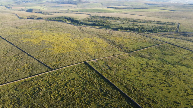
Downs, Moorland in Yorkshire Craven
England
Acres
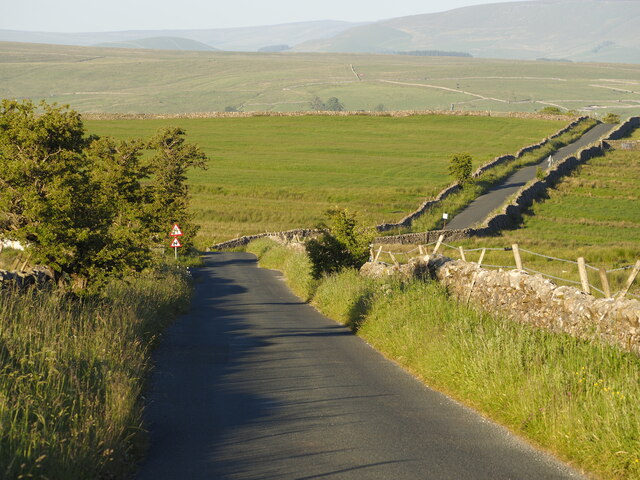
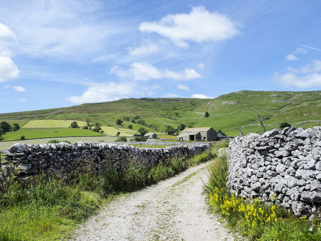
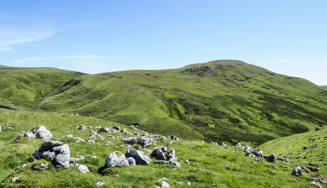
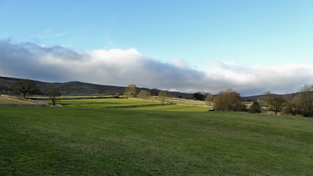
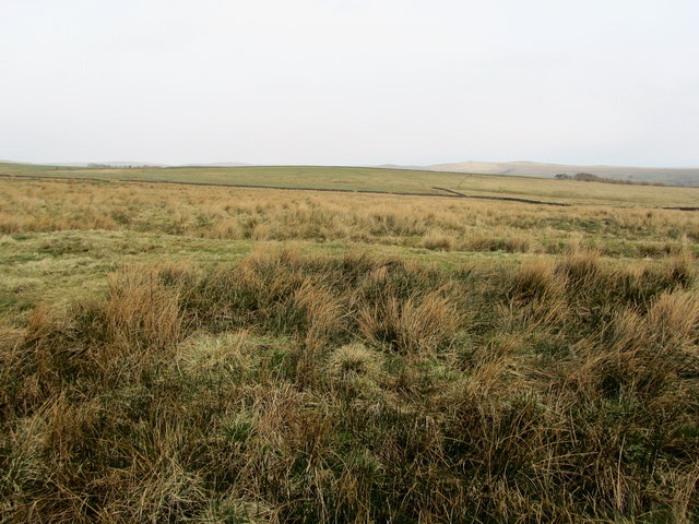
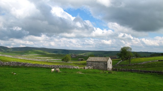
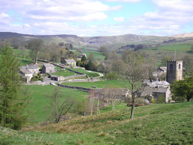
Acres, Yorkshire is a picturesque region located in the northern part of England. Known for its breathtaking landscapes, Acres is a combination of downs and moorland, offering a diverse and stunning natural environment.
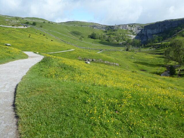
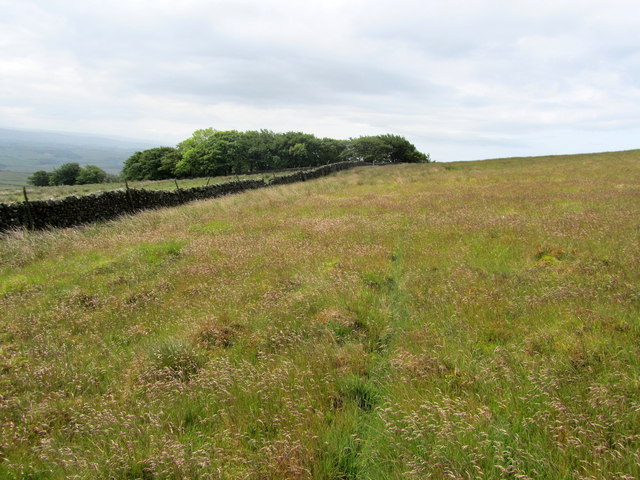
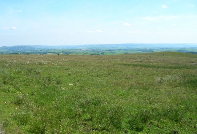
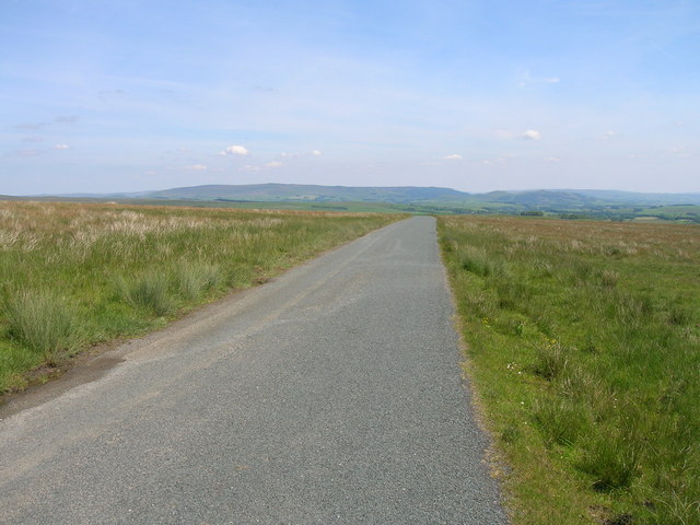
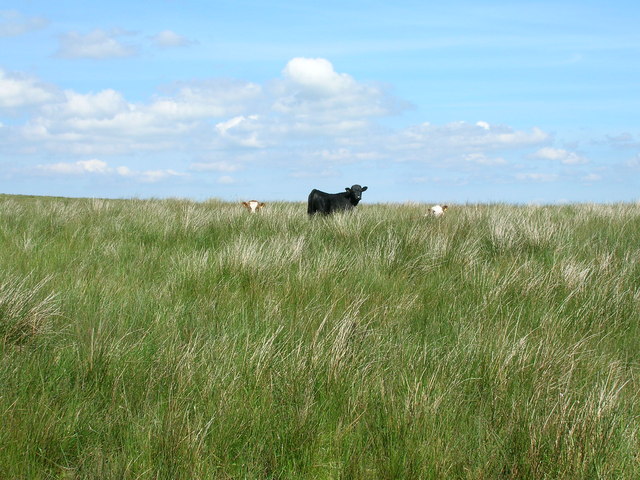
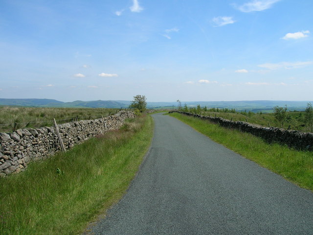
The downs of Acres, Yorkshire are characterized by rolling hills and expansive grasslands. These areas are perfect for outdoor activities such as hiking, picnicking, and horseback riding. Visitors can enjoy panoramic views of the surrounding countryside, dotted with quaint villages and charming farmhouses. The downs are also home to a variety of wildlife, making it a popular destination for nature enthusiasts and birdwatchers.
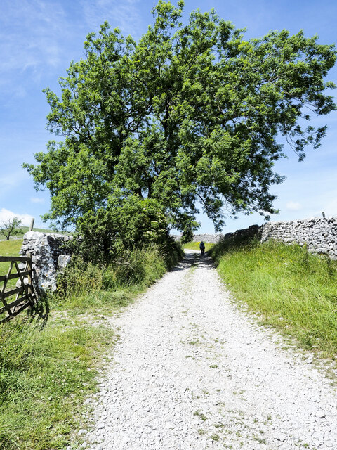
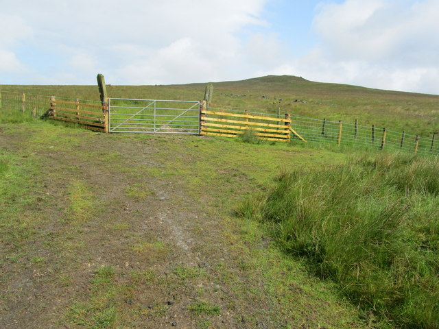
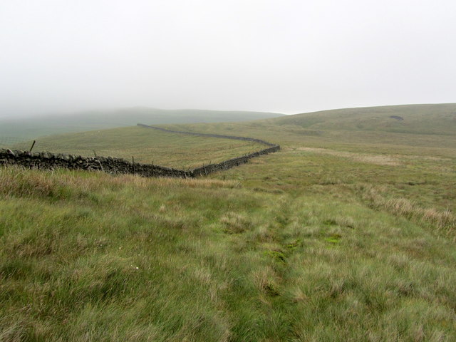
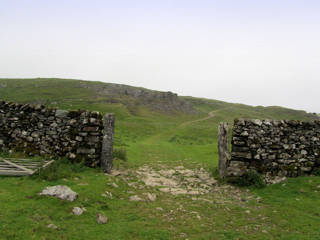
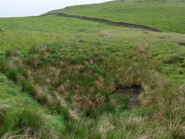
In contrast, the moorland of Acres showcases a rugged and wild terrain. Covered in heather and bracken, this area is a unique ecosystem that supports a range of plants and animals. The moorland is crisscrossed with footpaths, providing opportunities for adventurous individuals to explore and discover its hidden treasures. Its dramatic landscapes, including rocky outcrops and cascading waterfalls, make it an ideal setting for photography and outdoor exploration.
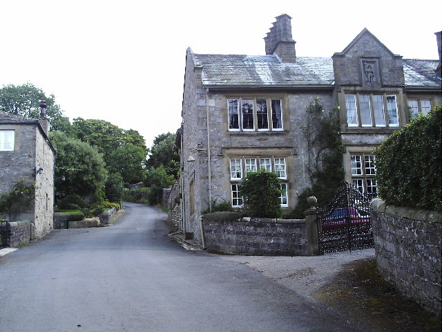
Acres, Yorkshire is also steeped in history, with ancient ruins and archaeological sites scattered throughout the region. Visitors can delve into the past by visiting historical landmarks such as castles, abbeys, and standing stones.
Overall, Acres, Yorkshire offers a blend of natural beauty, outdoor recreation, and historical significance. Whether seeking tranquility in the downs or adventure in the moorland, this region is a must-visit destination for those looking to immerse themselves in the stunning landscapes of northern England.
If you have any feedback on the listing, please let us know in the comments section below.
Acres Images
Images are sourced within 2km of 54.058882/-2.1857909 or Grid Reference SD8762. Thanks to Geograph Open Source API. All images are credited.
Acres is located at Grid Ref: SD8762 (Lat: 54.058882, Lng: -2.1857909)
Division: West Riding
Administrative County: North Yorkshire
District: Craven
Police Authority: North Yorkshire
What 3 Words
///downcast.foiled.them. Near Settle, North Yorkshire
Nearby Locations
Related Wikis

St Michael's Church, Kirkby Malham
St Michael's Church is in the village of Kirkby Malham, North Yorkshire, England. It is an active Anglican parish church in the deanery of Bowland and...

Malham
Malham is a village and civil parish in the Craven district of North Yorkshire, England. Before 20th century boundary changes, the village was part of...

Malham Cove
Malham Cove is a large curved limestone formation 0.6 miles (1 km) north of the village of Malham, North Yorkshire, England. It was formed by a waterfall...

Friar Garth Farmhouse
Friar Garth Farmhouse is a Grade II listed building in Malham, North Yorkshire, England. It was listed as an historic site by English Heritage on 13 September...
Hanlith
Hanlith is a small village and civil parish in the Craven district of North Yorkshire, England. It is situated near Kirkby Malham and the tourist attraction...
Kirkby Malham
Kirkby Malham is a small village and civil parish in the Craven district of North Yorkshire, England. Situated in the Yorkshire Dales it lies 5 miles...

Scosthrop
Scosthrop is a civil parish in the Craven district of North Yorkshire, England. The population as taken at the 2011 Census was less than 100. Details are...

Scaleber Force
Scaleber Force (also known as Scaleber Foss and Scaleber Waterfall), is a 40-foot (12 m) high waterfall on Stockdale Beck, later the Long Preston Beck...
Nearby Amenities
Located within 500m of 54.058882,-2.1857909Have you been to Acres?
Leave your review of Acres below (or comments, questions and feedback).