Airton Green

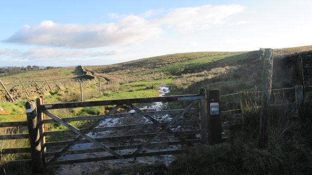
Downs, Moorland in Yorkshire Craven

England

Airton Green

Lightning Tree on the Road to Otterburn Situated on the road from Airton to Otterburn.
Lightning Tree on the Road to Otterburn Credit: Andy Beecroft

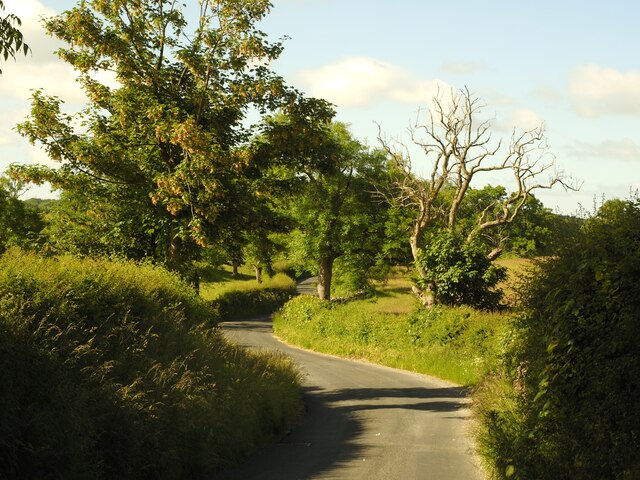
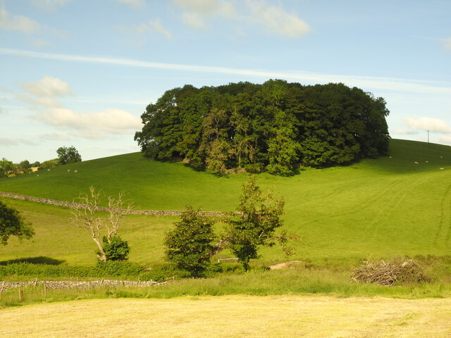
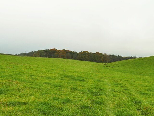
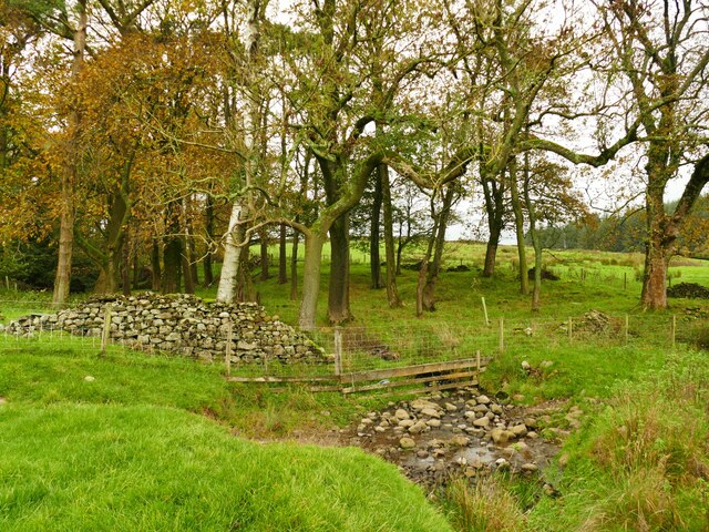
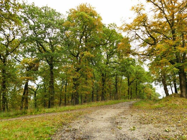
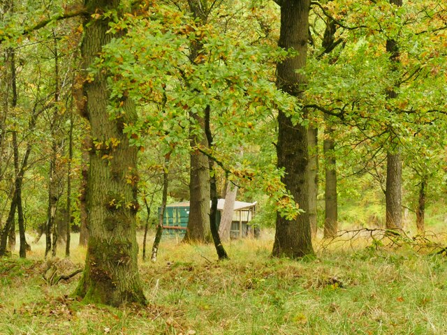
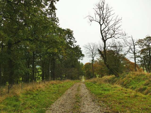
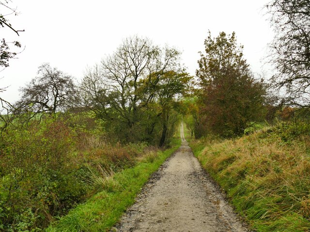
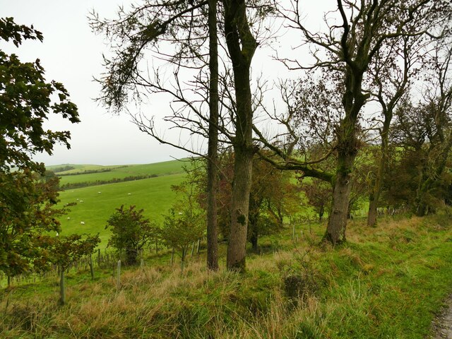
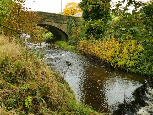
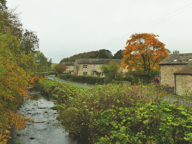
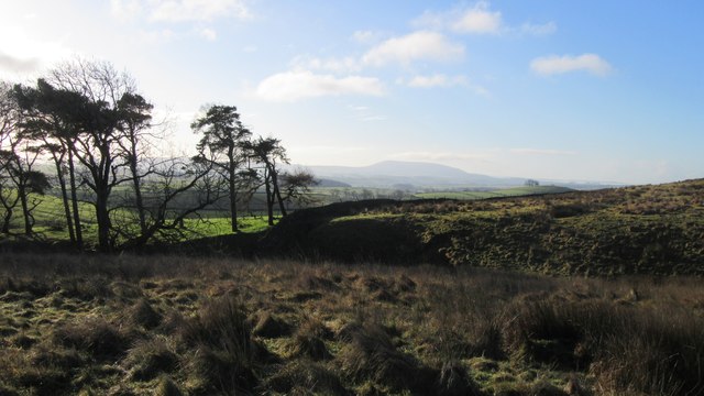
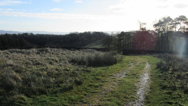
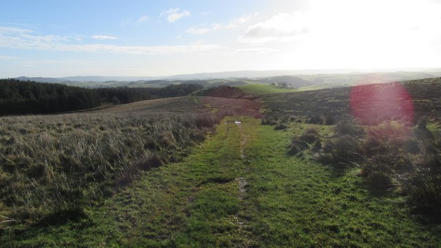
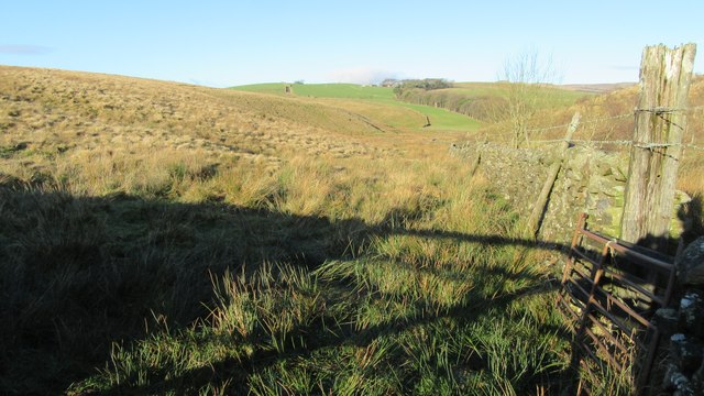
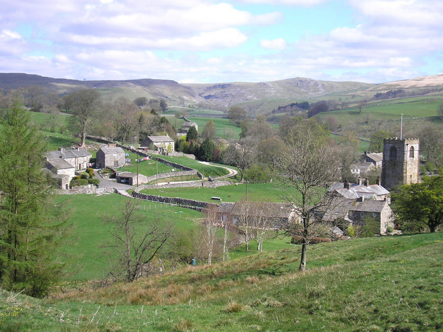
Airton Green is a picturesque village nestled in the heart of Yorkshire, England. Located in the Yorkshire Dales National Park, it offers a tranquil and idyllic setting for visitors and residents alike. Situated on the southern edge of the Yorkshire Dales, Airton Green is surrounded by rolling hills, verdant meadows, and breathtaking moorland.

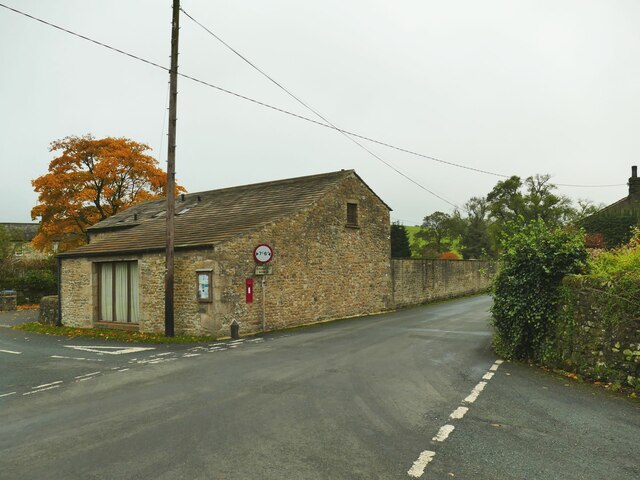
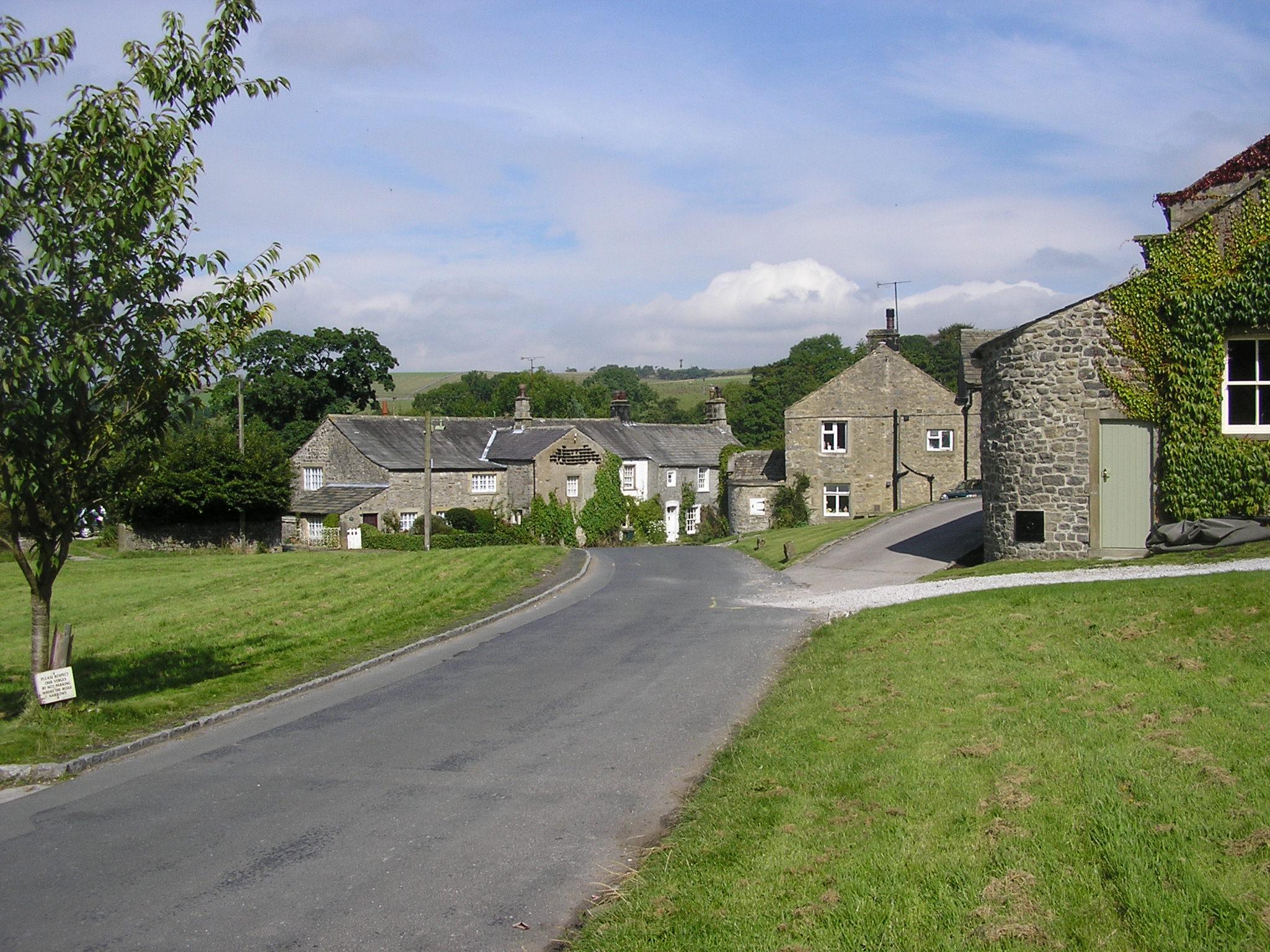
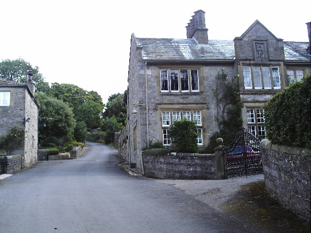
The village itself is small, with a population of around 300 people. It retains a charming and traditional character, with quaint stone cottages and well-manicured gardens lining its streets. The local community is close-knit, and residents take great pride in maintaining the beauty of their surroundings.

Visitors to Airton Green are drawn to its natural splendor and the wide range of outdoor activities it offers. The Yorkshire Dales provide ample opportunities for hiking, cycling, and exploring the stunning landscape. The nearby moorland is particularly popular among birdwatchers, as it is home to a variety of rare and protected species.

For those seeking a taste of local culture, the village boasts a rich history. The historic St. Michael and All Angels Church, dating back to the 12th century, is a prominent feature of Airton Green. The village also hosts an annual summer fair, showcasing local crafts, food, and entertainment.

In terms of amenities, Airton Green has a small but well-stocked village shop and a cozy tearoom serving homemade treats. Accommodation options include charming bed and breakfasts and self-catering cottages, allowing visitors to fully immerse themselves in the village's tranquility.

Overall, Airton Green is a hidden gem in the Yorkshire countryside, offering a peaceful retreat for nature enthusiasts and those seeking a break from the hustle and bustle of city life.

If you have any feedback on the listing, please let us know in the comments section below.

Airton Green Images

Images are sourced within 2km of 54.033079/-2.1855078 or Grid Reference SD8759. Thanks to Geograph Open Source API. All images are credited.

Lightning Tree on the Road to Otterburn Situated on the road from Airton to Otterburn.
Lightning Tree on the Road to Otterburn
Situated on the road from Airton to Otterburn.
Hillside Copse near Otterburn
Pennine watershed above Hellifield It doesn't look obvious, but the top of this wet field forming a low slack or col between Wenningber and Butter Haw hills is on the watershed of the Pennines (and therefore of Northern England). The end behind the photographer is the source of Hellifield Beck which flows into the Ribble and ultimately the Irish Sea, while the plantation in the distance is at the head of Crook Beck, a tributary of the Aire, and ultimately the Humber Estuary.
Pennine watershed above Hellifield
It doesn't look obvious, but the top of this wet field forming a low slack or col between Wenningber and Butter Haw hills is on the watershed of the Pennines (and therefore of Northern England). The end behind the photographer is the source of Hellifield Beck which flows into the Ribble and ultimately the Irish Sea, while the plantation in the distance is at the head of Crook Beck, a tributary of the Aire, and ultimately the Humber Estuary.
Crook Beck emerges from a copse The Crook Beck is a tributary of the Aire, and ultimately the Humber Estuary.
Crook Beck emerges from a copse
The Crook Beck is a tributary of the Aire, and ultimately the Humber Estuary.
Path junction on Dacre Lane Dacre Lane, bending right here towards Otterburn village, is a public footpath. To the left is a private road into Crook Beck Plantation.
Path junction on Dacre Lane
Dacre Lane, bending right here towards Otterburn village, is a public footpath. To the left is a private road into Crook Beck Plantation.
Hut in the woods below Tranlinber Seen from the public footpath (Dacre Lane).
Hut in the woods below Tranlinber
Seen from the public footpath (Dacre Lane).
Looking down Dacre Lane The track is dead straight for 650 metres from this point.
Looking down Dacre Lane
The track is dead straight for 650 metres from this point.
View towards Crossber from Dacre Lane The post-glacial drumlins in this area are sheep pasture country.
View towards Crossber from Dacre Lane
The post-glacial drumlins in this area are sheep pasture country.
Dacre Lane, looking north-west Part of a long route linking Otterburn to Settle.
Dacre Lane, looking north-west
Part of a long route linking Otterburn to Settle.
Young oaks alongside Dacre Lane New oaks have been planted in among mature trees.
Young oaks alongside Dacre Lane
New oaks have been planted in among mature trees.
Otterburn Bridge  The grade II listed bridge is dated to the late 18th or early 19th century. List entry 1132058.
Otterburn Bridge
The grade II listed bridge is dated to the late 18th or early 19th century. List entry 1132058.
View north along Otterburn Beck from the bridge The furthest of the three buildings in the photo is the Grade II listed Grove Farm.
View north along Otterburn Beck from the bridge
The furthest of the three buildings in the photo is the Grade II listed Grove Farm.
Hellifield Road out of Otterburn Note three pieces of street furniture: the road sign for a width restriction, the postbox in a wall, and the county marker (possibly relocated from the nearby bridge?) <a href="https://www.geograph.org.uk/photo/4669588">SD8857 : West Riding marker beside building at cross roads</a>. The building itself looks like an agricultural one converted to residential.
Hellifield Road out of Otterburn
Note three pieces of street furniture: the road sign for a width restriction, the postbox in a wall, and the county marker (possibly relocated from the nearby bridge?) SD8857 : West Riding marker beside building at cross roads. The building itself looks like an agricultural one converted to residential.
Top end of copse on Hellifield moor Top end of copse on Hellifield moor, Pendle Hill in the background
Top end of copse on Hellifield moor
Top end of copse on Hellifield moor, Pendle Hill in the background
Boundary gate on Hellifield moor Looking SE at boundary gate on Hellifield moor and on route of public footpath
Boundary gate on Hellifield moor
Looking SE at boundary gate on Hellifield moor and on route of public footpath
Public footpath on Hellifield Moor Looking SE down public footpath on Hellifield Moor
Public footpath on Hellifield Moor
Looking SE down public footpath on Hellifield Moor
Footpath leaving Langber Lane Looking North up footpath leaving Langber Lane
Footpath leaving Langber Lane
Looking North up footpath leaving Langber Lane
Footpath adjacent to Hellifield Moor Top Looking SE along Footpath adjacent to Hellifield Moor Top
Footpath adjacent to Hellifield Moor Top
Looking SE along Footpath adjacent to Hellifield Moor Top
Show me another place!

Airton Green is located at Grid Ref: SD8759 (Lat: 54.033079, Lng: -2.1855078)

Division: West Riding

Administrative County: North Yorkshire

District: Craven

Police Authority: North Yorkshire

What 3 Words

///grant.occupations.cave. Near Hellifield, North Yorkshire

Nearby Locations

Airton Green

Related Wikis

Otterburn, North Yorkshire

Otterburn (historically known as Otterburn-in-Craven) is a village and civil parish in the Craven district of North Yorkshire, England. It is at OS Grid...

St Michael's Church, Kirkby Malham

St Michael's Church is in the village of Kirkby Malham, North Yorkshire, England. It is an active Anglican parish church in the deanery of Bowland and...

Scosthrop

Scosthrop is a civil parish in the Craven district of North Yorkshire, England. The population as taken at the 2011 Census was less than 100. Details are...

Kirkby Malham

Kirkby Malham is a small village and civil parish in the Craven district of North Yorkshire, England. Situated in the Yorkshire Dales it lies 5 miles...

Airton

Airton (also known as Airton-in-Craven) is a small village and civil parish in the Craven district of North Yorkshire, England, situated 10 miles (16 km...

Hanlith

Hanlith is a small village and civil parish in the Craven district of North Yorkshire, England. It is situated near Kirkby Malham and the tourist attraction...

Calton, North Yorkshire

Calton is a village and civil parish in the Craven district of North Yorkshire, England, on the River Aire in Airedale. In both the 2001 and 2011 Censuses...

Newfield Hall

Newfield Hall is a former country house located 1 mile (1.6 km) to the southeast of the village of Airton, North Yorkshire, England. It is now a hotel...

Nearby Amenities

Located within 500m of 54.033079,-2.1855078
Hiking: yes
Information: guidepost
Source: GPS survey
Tourism: information
Lat/Long: 54.0338337/-2.1785009
Hiking: yes
Information: guidepost
Source: GPS survey
Tourism: information
Lat/Long: 54.033758/-2.1781066
Barrier: stile
Source: GPS survey
Lat/Long: 54.0338396/-2.1780876
The data included in this document is from www.openstreetmap.org. The data is made available under ODbL.

Have you been to Airton Green?

Leave your review of Airton Green below (or comments, questions and feedback).