Red Moss

Downs, Moorland in Lancashire Rossendale

England

Red Moss

The Singing Ringing Tree One of East Lancashire's Panopticons
The Singing Ringing Tree Credit: Kevin Waterhouse

The requested URL returned error: 429 Too Many Requests

If you have any feedback on the listing, please let us know in the comments section below.
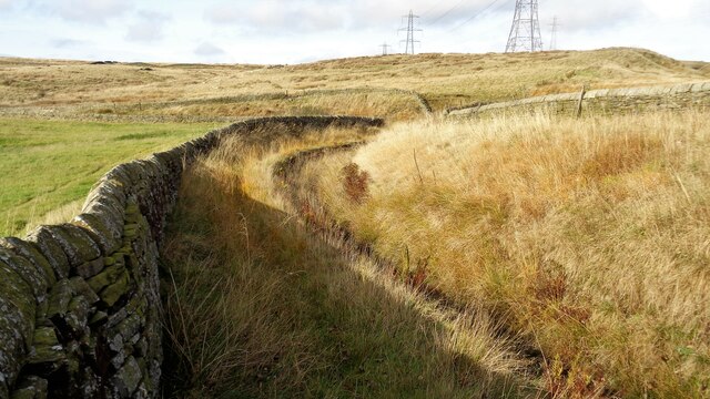
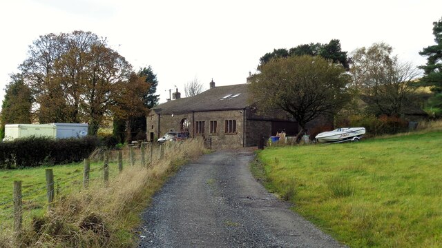
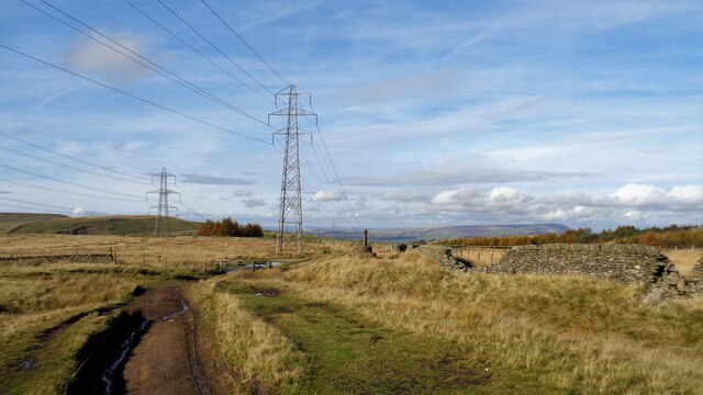
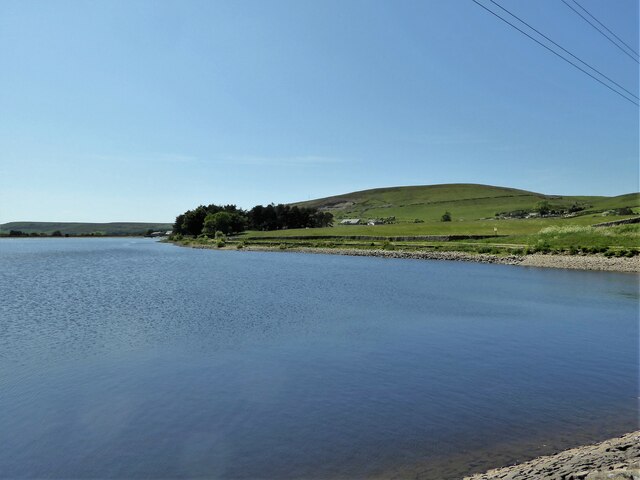
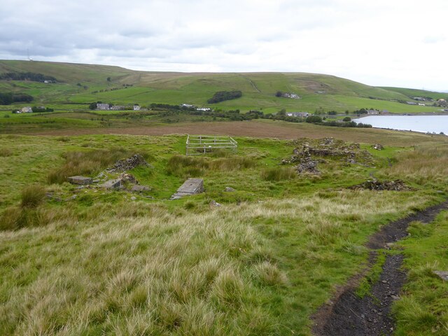
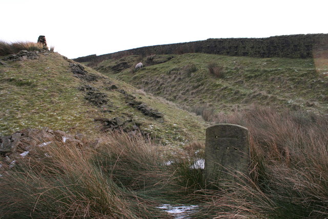
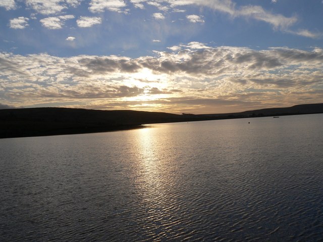
Red Moss Images

Images are sourced within 2km of 53.744709/-2.2387734 or Grid Reference SD8427. Thanks to Geograph Open Source API. All images are credited.

The Singing Ringing Tree One of East Lancashire's Panopticons
The Singing Ringing Tree
One of East Lancashire's Panopticons
The Singing Ringing Tree One of East Lancashire's Panopticons, but I do not think the view is better from on top of the structure
The Singing Ringing Tree
One of East Lancashire's Panopticons, but I do not think the view is better from on top of the structure
Big Sky and the Singing Ringing Tree
White Hill Circular Walk Part of the marked path near Crown Point Road which meanders such that short cuts have been made. The gravel path which is not being used is becoming overgrown and the short cuts a source of surface erosion.
White Hill Circular Walk
Part of the marked path near Crown Point Road which meanders such that short cuts have been made. The gravel path which is not being used is becoming overgrown and the short cuts a source of surface erosion.
Farmer's Track to White Hill This track links the hill and Burnley Road (B6238) and is used by the Pennine Bridleway for part of the route
Farmer's Track to White Hill
This track links the hill and Burnley Road (B6238) and is used by the Pennine Bridleway for part of the route
Reservoir Catchwater For Clough Bottom Reservoir
Reservoir Catchwater
For Clough Bottom Reservoir
Approaching Swallow Shore
Approaching Compston's Cross On the Rossendale Way and the White Hill Circular Walk. The cross was erected in 1902 and may partly replace the two lost wayside crosses in this area
Approaching Compston's Cross
On the Rossendale Way and the White Hill Circular Walk. The cross was erected in 1902 and may partly replace the two lost wayside crosses in this area
Woodland north of Greenhill Clough With Clowbridge Reservoir beyond on the left of the view
Woodland north of Greenhill Clough
With Clowbridge Reservoir beyond on the left of the view
View across new woodland to Crown Point The woodland would appear to be part of the Dunnockshaw Community Woodland project
View across new woodland to Crown Point
The woodland would appear to be part of the Dunnockshaw Community Woodland project
Path avoiding Crown Point Road Links the car park at the Singing Ringing Tree with paths into Dunnockshaw Community Woodland and eventually Clowbridge Reservoir. Crown Point Road has no pavements.
Path avoiding Crown Point Road
Links the car park at the Singing Ringing Tree with paths into Dunnockshaw Community Woodland and eventually Clowbridge Reservoir. Crown Point Road has no pavements.
Gateway at Wholaw remains The property marked as Wholaw on old OS maps appeared to cover a large site with two gateway access points, this view of one to the north and another behind the camera
Gateway at Wholaw remains
The property marked as Wholaw on old OS maps appeared to cover a large site with two gateway access points, this view of one to the north and another behind the camera
Valley of Limy Water Crossed by a path in Dunnockshaw Community Woodland from Wholaw
Valley of Limy Water
Crossed by a path in Dunnockshaw Community Woodland from Wholaw
Clowbridge Reservoir View from the reservoir embankment causeway
Clowbridge Reservoir
View from the reservoir embankment causeway
Gambleside Mine Pumping Station Beneath the hillside with several former coal mines and close to Clowbridge Reservoir
Gambleside Mine Pumping Station
Beneath the hillside with several former coal mines and close to Clowbridge Reservoir
Old holloway An old route to climb Stony Hill which winds around an enclosed field (behind the camera) from the valley of Limy Water (covered by Clowbridge Reservoir) before striking out in this view. This is probably one of the many routes known as Limersgate.
Old holloway
An old route to climb Stony Hill which winds around an enclosed field (behind the camera) from the valley of Limy Water (covered by Clowbridge Reservoir) before striking out in this view. This is probably one of the many routes known as Limersgate.
Track to Heald Moor A track initially on the route of an old tramway for Easden Wood Colliery which finished before the climb ahead. OS maps suggest the extension of this track is relatively recent appearing to serve a tipping site on Heald Moor. The lower track serves the farm at Cow Side.
Track to Heald Moor
A track initially on the route of an old tramway for Easden Wood Colliery which finished before the climb ahead. OS maps suggest the extension of this track is relatively recent appearing to serve a tipping site on Heald Moor. The lower track serves the farm at Cow Side.
Gambleside Colliery remains With Clowbridge Reservoir on the right of this view
Gambleside Colliery remains
With Clowbridge Reservoir on the right of this view
Show me another place!

Red Moss is located at Grid Ref: SD8427 (Lat: 53.744709, Lng: -2.2387734)

Administrative County: Lancashire

District: Rossendale

Police Authority: Lancashire

What 3 Words

///ethic.freely.sleepers. Near Hameldon Hill, Lancashire

Nearby Locations

Red Moss White Hill

Related Wikis

Gambleside

Gambleside is an abandoned village located in northern Rossendale close to the boundary with Burnley's Dunnockshaw parish. In the late Middle Ages Gambleside...

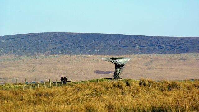
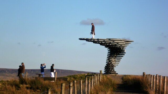
Singing Ringing Tree (sculpture)

The Singing Ringing Tree is a wind powered sound sculpture resembling a tree set in the landscape of the Pennine hill range overlooking Burnley, in Lancashire...

Water, Lancashire

Water is a hamlet in the borough of Rossendale, in Lancashire, England. Located north of the village of Lumb. It is mostly made of a few homes, farms,...

Dunnockshaw

Dunnockshaw or Dunnockshaw and Clowbridge is a civil parish in the borough of Burnley, in Lancashire, England. The parish is situated between Burnley and...

Nearby Amenities

Located within 500m of 53.744709,-2.2387734
Power: tower
Lat/Long: 53.7422637/-2.2448722
Barrier: stile
Lat/Long: 53.7476503/-2.2357205
Bench
Lat/Long: 53.7425795/-2.2349238
Bench
Lat/Long: 53.7425771/-2.234817
Entrance: yes
Lat/Long: 53.7426123/-2.2355876
The data included in this document is from www.openstreetmap.org. The data is made available under ODbL.

Have you been to Red Moss?

Leave your review of Red Moss below (or comments, questions and feedback).