Annel Cross Moor
Downs, Moorland in Lancashire Ribble Valley
England
Annel Cross Moor
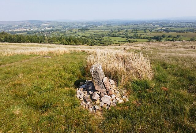
Annel Cross Moor is a picturesque area located in Lancashire, England. Situated on the edge of the Forest of Bowland, it is known for its stunning landscape, characterized by rolling downs and vast moorland. Covering an area of approximately 15 square kilometers, Annel Cross Moor attracts nature enthusiasts and hikers from far and wide.
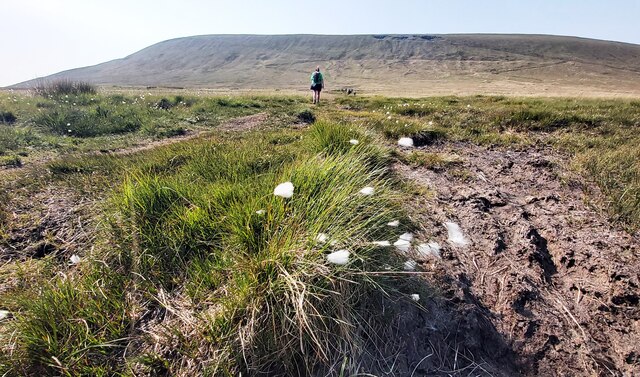
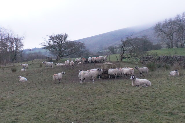
The moorland is rich in biodiversity, boasting a variety of plant and animal species. Visitors can often spot heather, cotton grass, and bilberry bushes dotting the landscape, creating a colorful and vibrant atmosphere. The area is also home to a diverse range of bird species, including curlews, lapwings, and golden plovers, making it a popular spot for birdwatching.
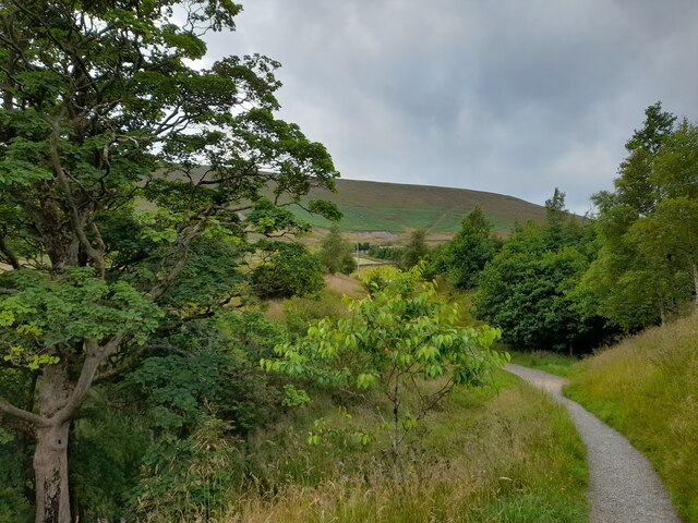
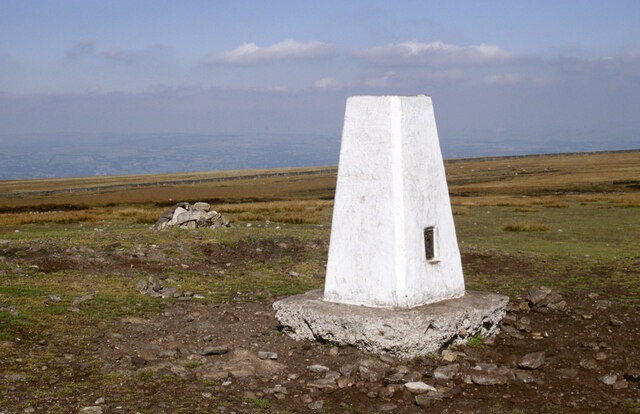
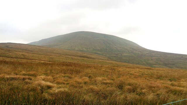
The undulating downs provide breathtaking views of the surrounding countryside. On a clear day, one can see the distant hills and valleys, creating a sense of tranquility and serenity. The area is crisscrossed with footpaths and trails, offering ample opportunities for outdoor activities such as walking, hiking, and cycling.
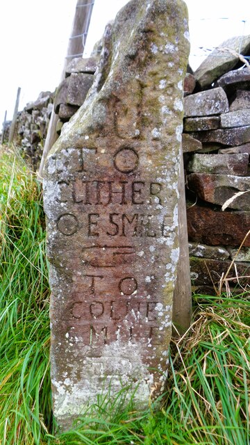
Annel Cross Moor is not only a haven for nature lovers but also a place of historical significance. It is believed to have been inhabited since prehistoric times, with archaeological sites and ancient burial mounds scattered across the moorland. These remnants of the past add an extra layer of intrigue to the area.
Overall, Annel Cross Moor is a hidden gem in Lancashire, combining natural beauty, wildlife diversity, and historical significance. Whether one seeks a peaceful retreat or an adventurous exploration, this enchanting moorland has something to offer for everyone.
If you have any feedback on the listing, please let us know in the comments section below.
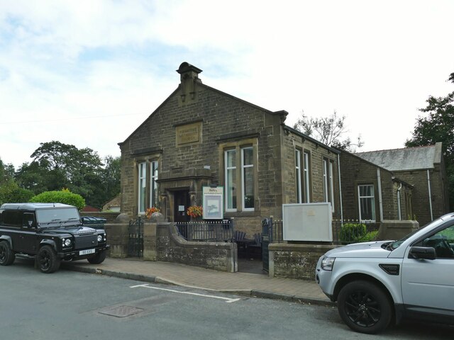
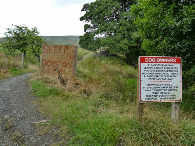
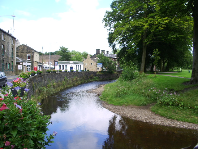
Annel Cross Moor Images
Images are sourced within 2km of 53.87812/-2.2793403 or Grid Reference SD8142. Thanks to Geograph Open Source API. All images are credited.


Annel Cross Moor is located at Grid Ref: SD8142 (Lat: 53.87812, Lng: -2.2793403)
Administrative County: Lancashire
District: Ribble Valley
Police Authority: Lancashire
What 3 Words
///control.advantage.others. Near Chatburn, Lancashire
Nearby Locations
Related Wikis

Twiston
Twiston is a village and a civil parish in the Ribble Valley District, in the English county of Lancashire. It is near the town of Clitheroe and the village...

Black Moss Reservoirs
Upper and Lower Black Moss Reservoirs are reservoirs close to the village of Barley, in the Borough of Pendle, close to the market town of Burnley, England...

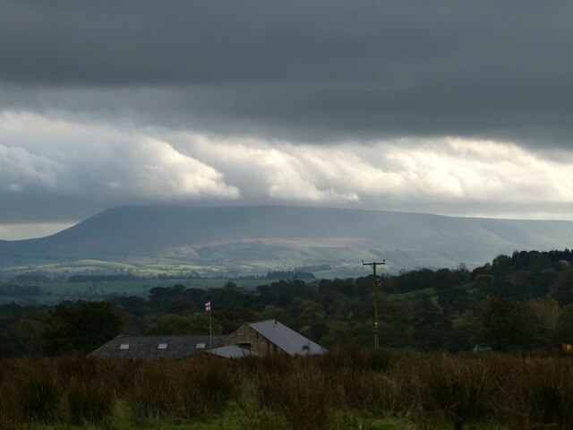
Pendle Hill
Pendle Hill is in the east of Lancashire, England, near the towns of Burnley, Nelson, Colne, Brierfield, Clitheroe and Padiham. Its summit is 557 metres...

Barley-with-Wheatley Booth
Barley-with-Wheatley Booth is a civil parish in the Pendle district of Lancashire, England. It has a population of 298, and contains the village of Barley...

Barley, Lancashire
Barley is a village in the borough of Pendle, in Lancashire, England. It is in the civil parish of Barley-with-Wheatley Booth. The village lies between...

Ogden Reservoirs
Upper and Lower Ogden Reservoirs are half a mile to the west of the village of Barley, in the Borough of Pendle, England. They supply drinking water to...
Pendle Water
Pendle Water is a minor river in Lancashire, England. Rising on Pendle Hill, Pendle Water cuts a deep valley between Barley Moor and Spence Hill, where...

Goldshaw Booth
Goldshaw Booth is a civil parish in the Pendle district of Lancashire, England. It has a population of 248, and contains the village of Newchurch in Pendle...
Related Videos

Walking in North-West England | PENDLE HILL (Forest of Bowland)
Taking on one of North-West England's classic walks to the top of Pendle Hill in the Forest of Bowland AONB. I also stopped by ...

Walking up Pendle Hill with Spring Vale Rambling Class
An experimental video filmed using my iPhone on a DJI Osmo Mobile 6 selfie stick. This was a 6-mile walk from Barley, ...

Pendle Hill | Cinematic Footage | DJI Mini2 4K UK Travel
Pendle Hill is in the east of Lancashire, England, surrounded by towns of Burnley, Nelson, Colne, Clitheroe and Padiham.

Family Walk through Pendle Sculpture Trail - Lancashire
Pendle Sculpture Trail, Lancashire, UK We've had a great day walking in the sun to end the half term here in England! It's a great ...
Nearby Amenities
Located within 500m of 53.87812,-2.2793403Have you been to Annel Cross Moor?
Leave your review of Annel Cross Moor below (or comments, questions and feedback).