Sud Meadow
Downs, Moorland in Gloucestershire Gloucester
England
Sud Meadow

Sud Meadow, located in Gloucestershire, England, is a picturesque area that offers a diverse landscape comprising downs and moorland. Spanning over a considerable expanse of land, Sud Meadow is a haven for nature enthusiasts and outdoor adventurers alike.
The downs of Sud Meadow are characterized by their gently rolling hills and vast open spaces. These grassy slopes are often used for grazing livestock, lending a pastoral charm to the area. The downs are interspersed with patches of woodland, providing a habitat for a variety of wildlife species.
Moorland is another notable feature of Sud Meadow. This rugged, wild terrain is characterized by its extensive areas of heather, bracken, and gorse. The moorland offers panoramic views of the surrounding countryside, making it a popular spot for hikers and photographers.
The rich biodiversity of Sud Meadow is evident in its flora and fauna. The downs are adorned with vibrant wildflowers during the summer months, attracting butterflies and bees. The moorland, on the other hand, is home to numerous bird species, including skylarks and peregrine falcons. Visitors may also spot occasional deer or foxes roaming the area.
Sud Meadow provides ample opportunities for outdoor activities such as walking, cycling, and birdwatching. There are well-maintained footpaths and trails that crisscross the downs and moorland, allowing visitors to explore the area at their own pace.
Overall, Sud Meadow in Gloucestershire offers a captivating blend of downs and moorland, showcasing the natural beauty of the English countryside. Whether it's the gentle slopes of the downs or the rugged charm of the moorland, this idyllic location promises an enriching and immersive experience for nature enthusiasts and explorers.
If you have any feedback on the listing, please let us know in the comments section below.
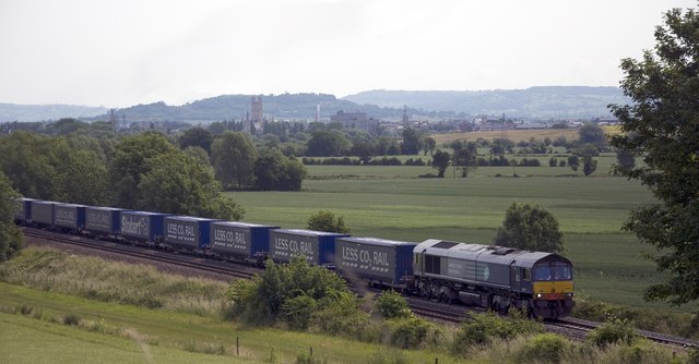
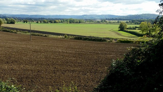
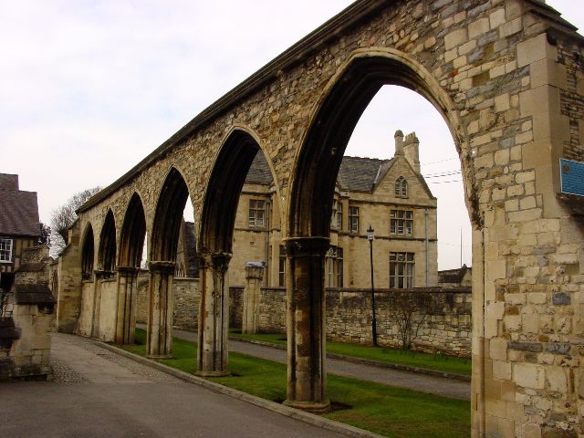
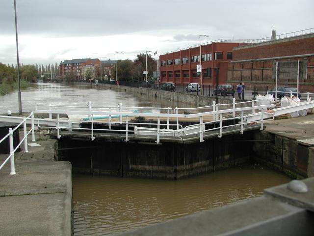
Sud Meadow Images
Images are sourced within 2km of 51.86256/-2.2690109 or Grid Reference SO8118. Thanks to Geograph Open Source API. All images are credited.


Sud Meadow is located at Grid Ref: SO8118 (Lat: 51.86256, Lng: -2.2690109)
Administrative County: Gloucestershire
District: Gloucester
Police Authority: Gloucestershire
What 3 Words
///depend.gender.delay. Near Gloucester, Gloucestershire
Nearby Locations
Related Wikis

Meadow Park, Gloucester
Meadow Park is a football stadium in Hempsted, Gloucester. It has been home to Gloucester City A.F.C. from 1986 to 2007. It was destroyed by flooding in...
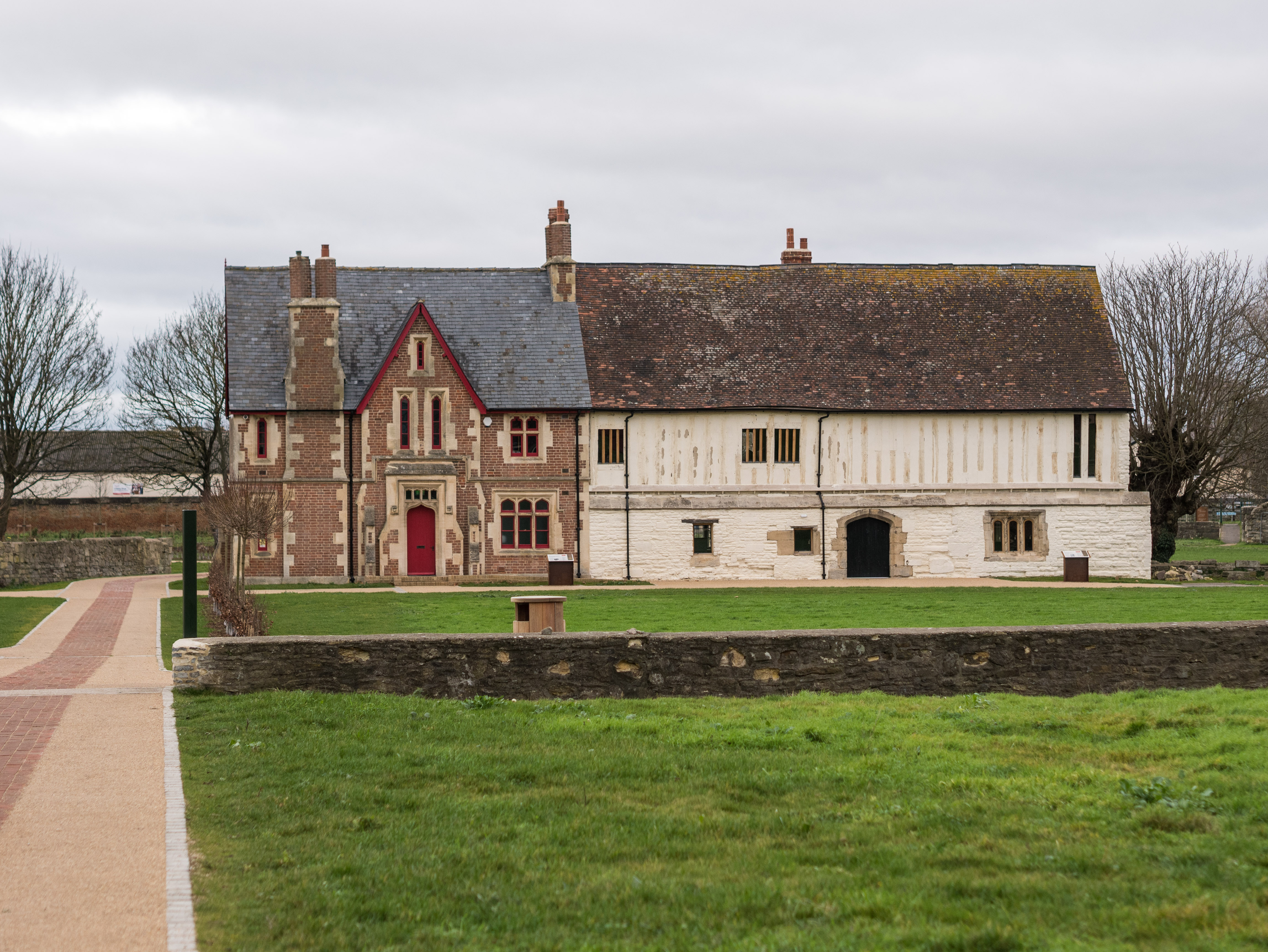
Llanthony Secunda Priory
Llanthony Secunda Priory was a house of Augustinian canons in the parish of Hempsted, Gloucestershire, England, situated about 1/2 a mile south-west of...
Castle Meads Power Station
Castle Meads Power Station was a coal-fired power station situated on Alney Island in the River Severn at Gloucester. == History == Construction of the...
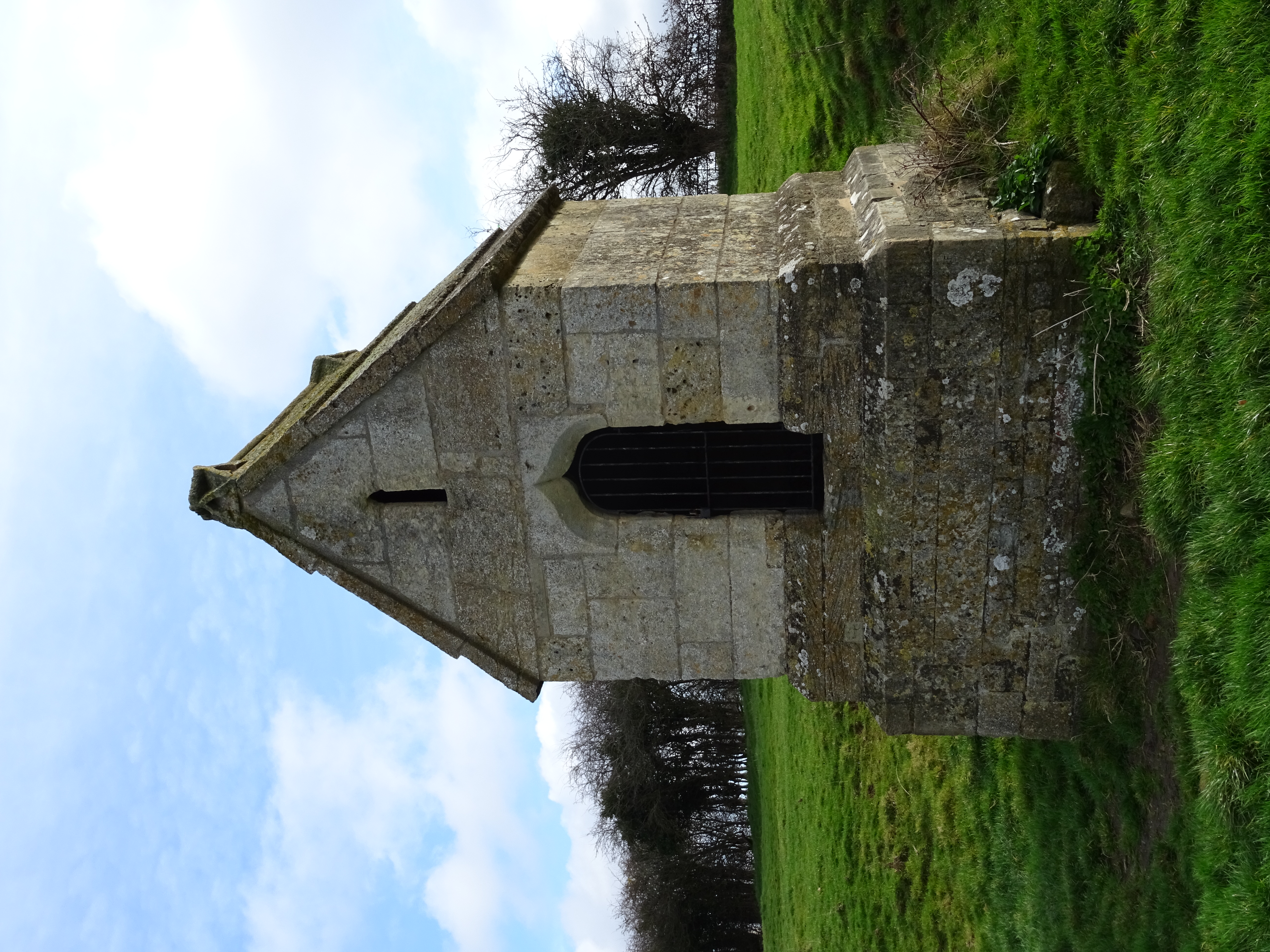
Our Lady's Well, Hempsted
Our Lady's Well (also known as Saint Anne's Well) is a holy well house in Hempsted, Gloucester. It was designated as a Grade I listed building in January...
Nearby Amenities
Located within 500m of 51.86256,-2.2690109Have you been to Sud Meadow?
Leave your review of Sud Meadow below (or comments, questions and feedback).