High Park
Downs, Moorland in Staffordshire South Staffordshire
England
High Park
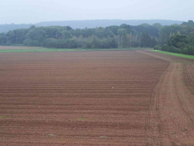
High Park, located in Staffordshire, is a scenic area known for its diverse landscapes of downs and moorland. Spanning approximately 500 acres, this natural gem offers a rich variety of flora and fauna, making it a popular destination for nature enthusiasts and hikers alike.
The downs of High Park are characterized by rolling hills and open grasslands, providing breathtaking panoramic views of the surrounding countryside. These expanses are home to a range of grasses and wildflowers, creating a vibrant and colorful tapestry during the warmer months.
In contrast, the moorland areas of High Park boast a more rugged and untamed beauty. Here, visitors can explore heather-clad hillsides and ancient woodlands, which are teeming with wildlife. The moorlands are particularly renowned for their bird population, with species such as curlews, lapwings, and red grouse commonly spotted.
High Park is also home to several walking trails, allowing visitors to fully immerse themselves in the natural splendor of the area. These trails cater to all levels of fitness and offer a chance to observe the changing landscapes up close.
Furthermore, the park provides picnic areas and facilities for visitors to relax and enjoy the picturesque surroundings. The tranquil atmosphere of High Park makes it an ideal spot for families, couples, and individuals seeking a peaceful retreat from the hustle and bustle of everyday life.
Overall, High Park in Staffordshire is a haven for nature lovers, offering a captivating blend of downs and moorland that showcases the beauty of the British countryside.
If you have any feedback on the listing, please let us know in the comments section below.
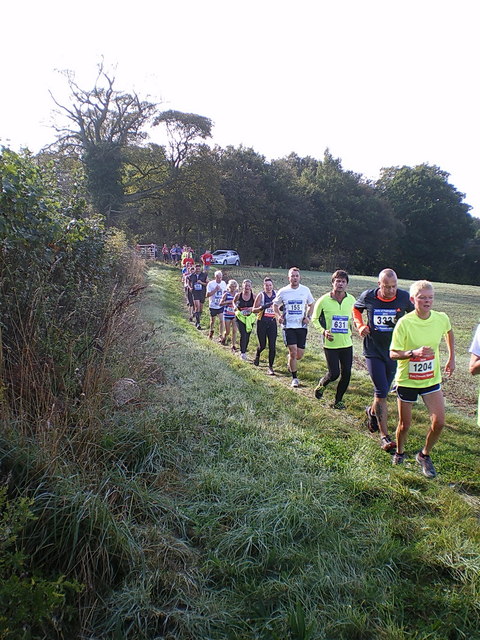
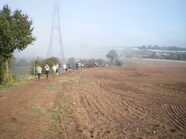
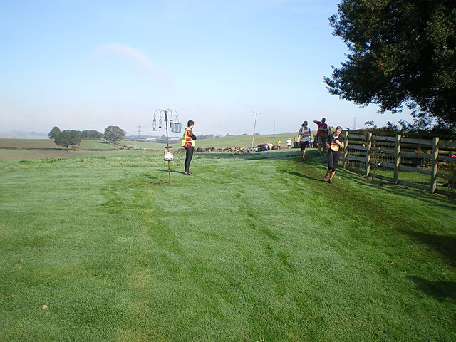
High Park Images
Images are sourced within 2km of 52.602421/-2.2733184 or Grid Reference SJ8100. Thanks to Geograph Open Source API. All images are credited.

High Park is located at Grid Ref: SJ8100 (Lat: 52.602421, Lng: -2.2733184)
Administrative County: Staffordshire
District: South Staffordshire
Police Authority: Staffordshire
What 3 Words
///cocktail.unspoiled.dolly. Near Pattingham, Staffordshire
Nearby Locations
Related Wikis

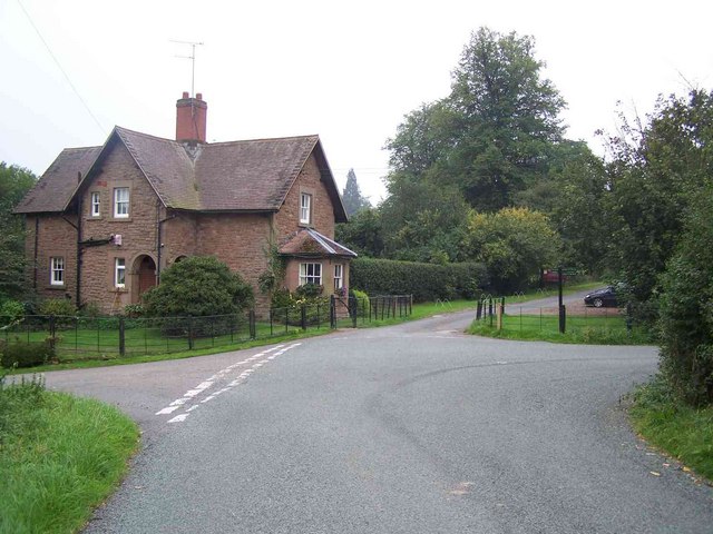
Patshull
Patshull is a former civil parish, now in the parish of Pattingham and Patshull, in the South Staffordshire district, in the county of Staffordshire, England...

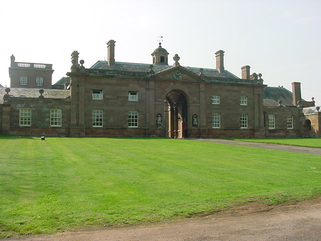
Patshull Hall
Patshull Hall is a substantial Georgian mansion house situated near Pattingham in Staffordshire, England. It is a Grade I listed building and by repute...
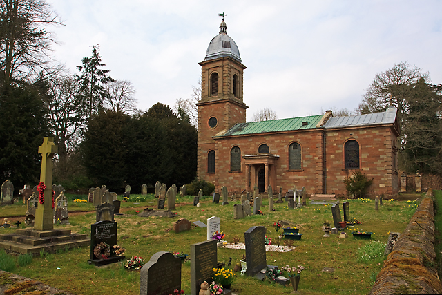
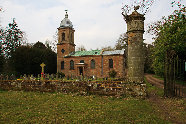
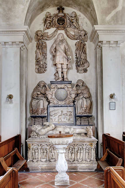
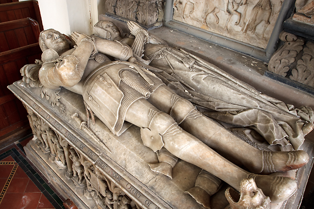
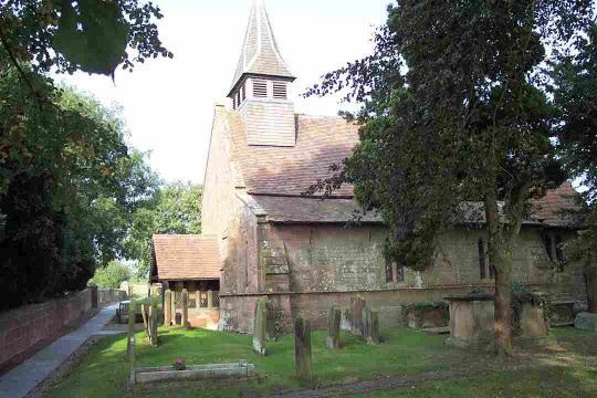
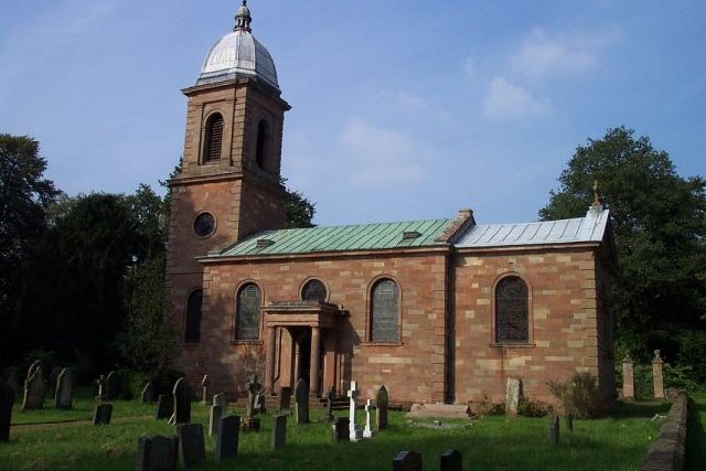
St Mary's Church, Patshull
St Mary's Church, Patshull, is a redundant Anglican church in the parish of Pattingham and Patshull, Staffordshire, England, and is situated near Patshull...

Pattingham
Pattingham is a village and former civil parish, now in the parish of Pattingham and Patshull, in the South Staffordshire district, in the county of Staffordshire...

Boningale
Boningale is a village and civil parish in Shropshire, England. The village lies just south of Albrighton, and just west of the county border with Staffordshire...

Nurton
Nurton is a hamlet in the South Staffordshire District, in the English county of Staffordshire. Nearby settlements include the city of Wolverhampton and...
Burnhill Green
Burnhill Green is a small hamlet near Pattingham, situated in Staffordshire, England, in the former parish of Patshull. The hamlet is on the edge of the...

Rudge, Shropshire
Rudge is a settlement and civil parish about 6 miles east of Bridgnorth, in the Shropshire district, in the ceremonial county of Shropshire, England. In...
Nearby Amenities
Located within 500m of 52.602421,-2.2733184Have you been to High Park?
Leave your review of High Park below (or comments, questions and feedback).