Backside Fell
Downs, Moorland in Durham
England
Backside Fell
Backside Fell, located in Durham, England, is a picturesque area known for its stunning natural beauty and diverse landscapes. Covering a vast expanse of downs and moorland, this region offers a haven for outdoor enthusiasts and nature lovers alike.
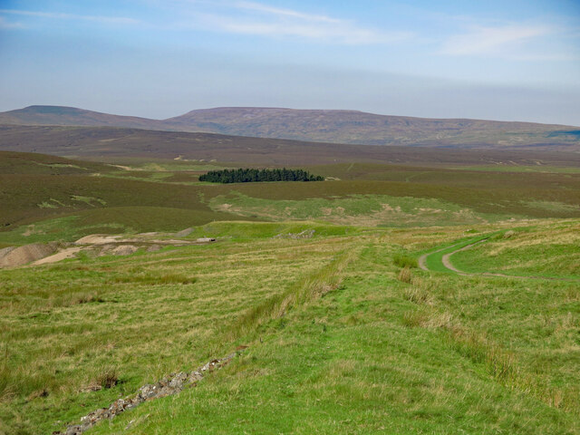
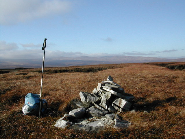
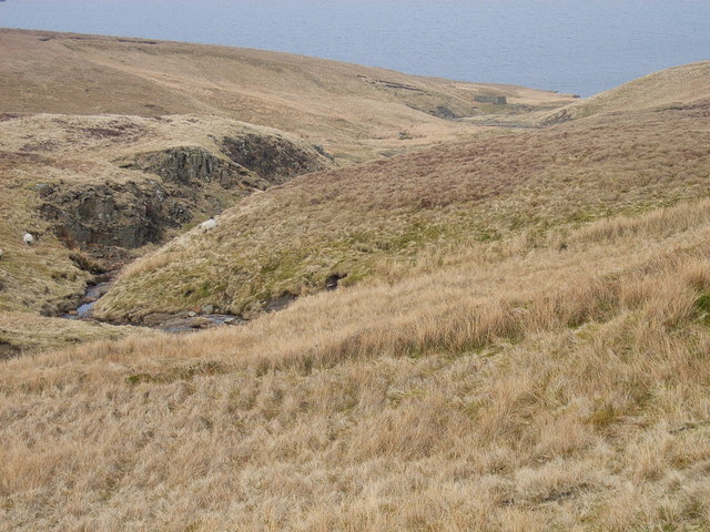
The downs of Backside Fell are characterized by their gently rolling hills and expansive grasslands. These open spaces provide ample opportunities for walking, hiking, and picnicking, with breathtaking panoramic views of the surrounding countryside. The lush greenery is dotted with wildflowers, adding a burst of color to the landscape during the warmer months.
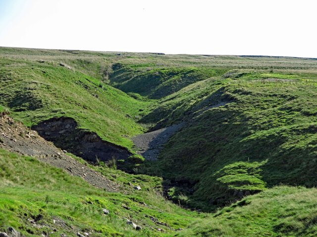
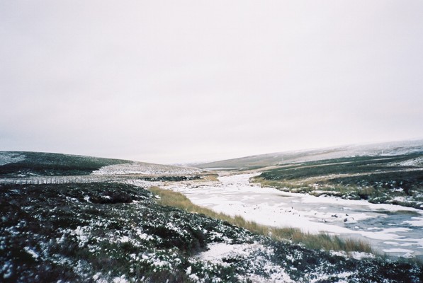
Moving towards the moorland section of Backside Fell, the terrain becomes more rugged and dramatic. Here, visitors can explore heather-covered hillsides, deep valleys, and cascading waterfalls. The moorland is home to a variety of wildlife, including birds of prey, deer, and rare species of plants and flowers.
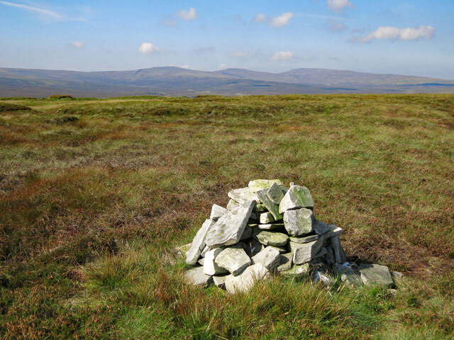
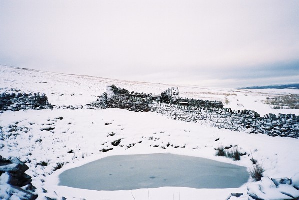
Backside Fell is also known for its ancient history, with evidence of human occupation dating back thousands of years. Archaeological sites and remnants of settlements can be found throughout the area, providing a glimpse into the region's past.
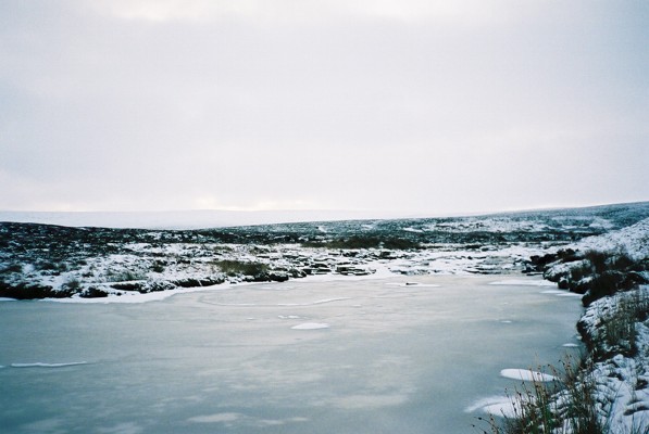
In addition to its natural and historical significance, Backside Fell offers a tranquil escape from the hustle and bustle of city life. Its remote location and peaceful ambiance make it an ideal destination for those seeking solitude and serenity.
Overall, Backside Fell in Durham is a hidden gem, offering a harmonious blend of natural beauty, rich history, and tranquility to all who venture to explore its enchanting landscapes.
If you have any feedback on the listing, please let us know in the comments section below.
Backside Fell Images
Images are sourced within 2km of 54.680321/-2.3299414 or Grid Reference NY7831. Thanks to Geograph Open Source API. All images are credited.
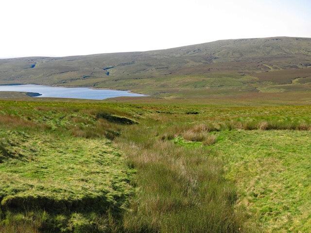
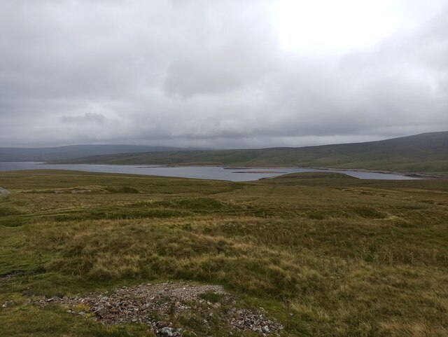
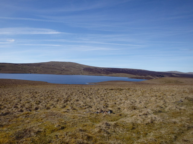
![Near Hole to Meldon Hill The view from the track across boggy ground towards Cow Green Reservoir with Meldon Hill [767m] on the far side. Meldon Hill is one of the least accessible fells in the whole of the Pennine range, but at least it is outside of the army firing ranges [unlike Mickle Fell].](https://s1.geograph.org.uk/geophotos/04/41/95/4419537_079b118d.jpg)
Backside Fell is located at Grid Ref: NY7831 (Lat: 54.680321, Lng: -2.3299414)
Unitary Authority: County Durham
Police Authority: Durham
What 3 Words
///officers.caves.untrained. Near Holwick, Co. Durham
Nearby Locations
Related Wikis
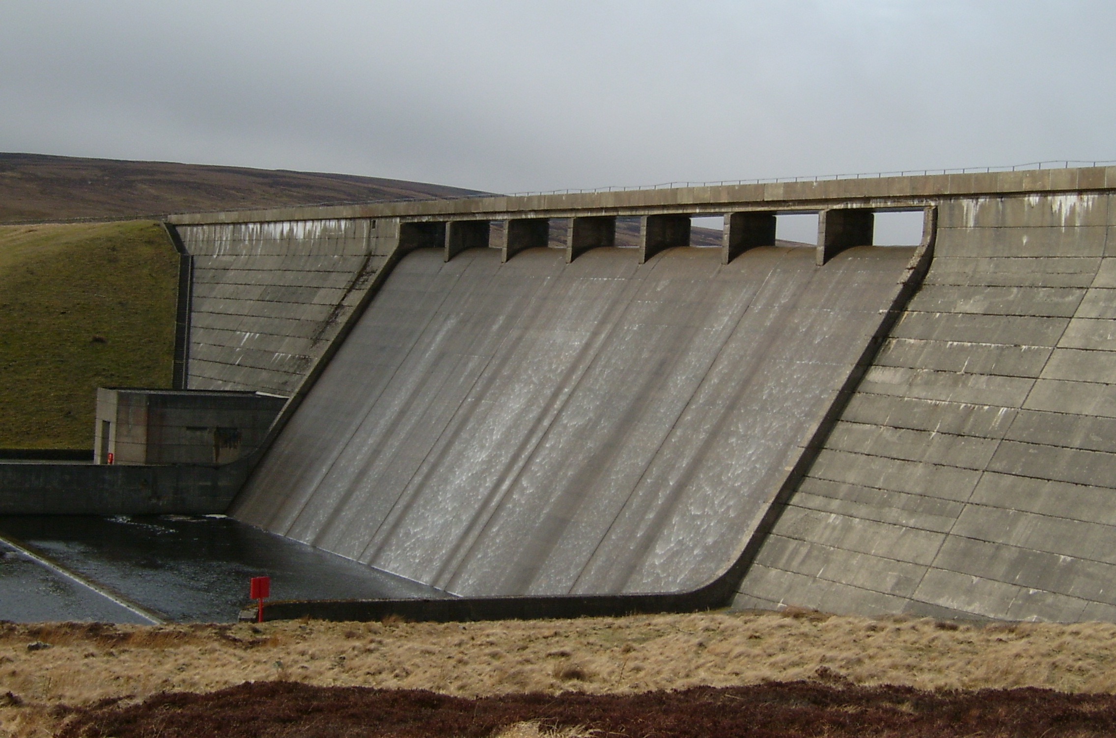
Cow Green Reservoir
Cow Green Reservoir is a 2-mile (3 km) long water reservoir forming part of the border between the historic counties of Westmorland and County Durham in...

Cauldron Snout
Cauldron Snout is a cascade on the upper reaches of the River Tees in Northern England, immediately below the dam of the Cow Green Reservoir. It is well...

Upper Teesdale
Upper Teesdale is a Site of Special Scientific Interest (SSSI) in the west County Durham, England. It encompasses an extensive upland area that includes...

Harwood, County Durham
Harwood is a small valley and village near the head of Teesdale. Harwood Beck is a tributary of the River Tees in County Durham which forms a short valley...
Nearby Amenities
Located within 500m of 54.680321,-2.3299414Have you been to Backside Fell?
Leave your review of Backside Fell below (or comments, questions and feedback).