Ridley Common
Downs, Moorland in Northumberland
England
Ridley Common

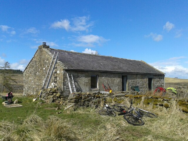
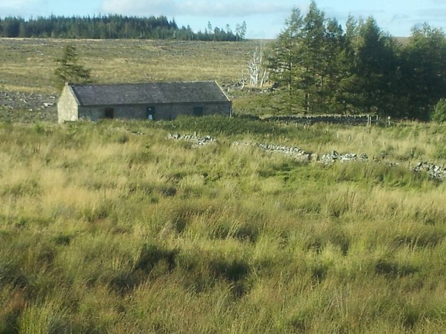
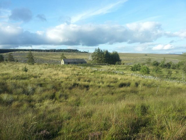
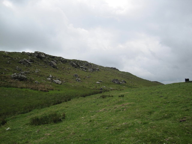
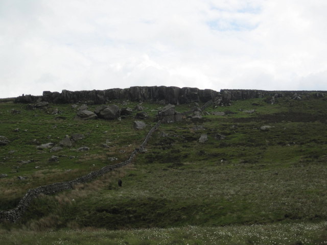
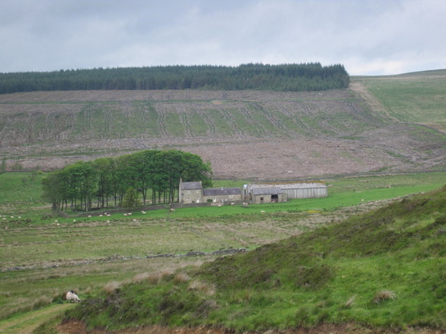
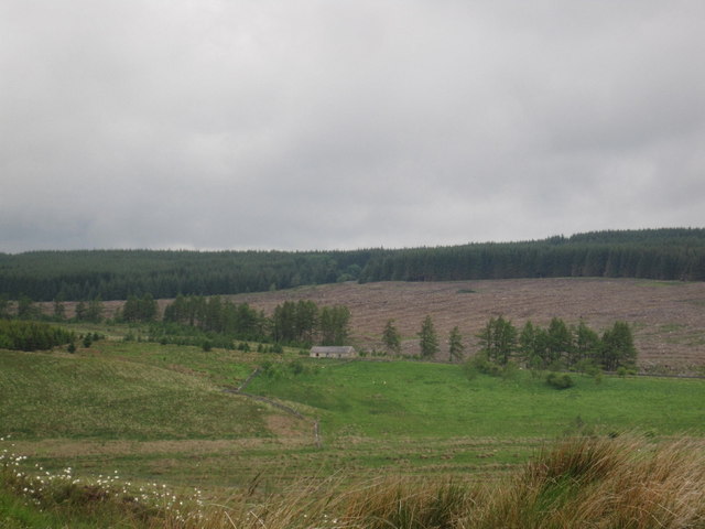
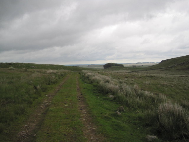
Ridley Common, located in the county of Northumberland, is a picturesque expanse of natural beauty known for its downs and moorland. Spanning over a considerable area, it offers visitors a diverse range of landscapes and habitats to explore.
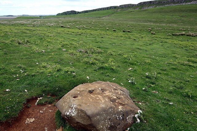
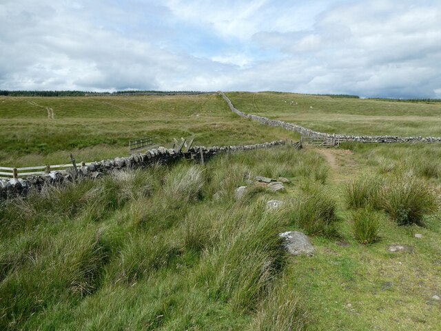
The downs of Ridley Common are characterized by gently rolling hills covered in lush green grass, dotted with wildflowers during the warmer months. These open spaces provide ample opportunities for recreational activities such as walking, picnicking, and kite flying. The downs offer breathtaking panoramic views of the surrounding countryside, allowing visitors to appreciate the vastness and tranquility of the area.
Adjacent to the downs, Ridley Common also boasts extensive moorland, characterized by heather-covered hills and peat bogs. This unique ecosystem supports a variety of wildlife and plants, including rare species such as curlews, lapwings, and adders. The moorland is a haven for nature enthusiasts and birdwatchers, who can explore the area on designated walking trails and observe the diverse array of flora and fauna.
Ridley Common is also of historical significance, with evidence of human activity dating back thousands of years. Ancient burial mounds and stone circles can be found scattered across the landscape, providing a glimpse into the area's rich cultural heritage.
Overall, Ridley Common in Northumberland offers visitors a chance to immerse themselves in the natural beauty of downs and moorland, providing a tranquil escape from the hustle and bustle of everyday life. Whether it's enjoying the views, discovering wildlife, or exploring the area's history, there is something for everyone to appreciate in this stunning location.
If you have any feedback on the listing, please let us know in the comments section below.
Ridley Common Images
Images are sourced within 2km of 55.021508/-2.3334591 or Grid Reference NY7869. Thanks to Geograph Open Source API. All images are credited.


Ridley Common is located at Grid Ref: NY7869 (Lat: 55.021508, Lng: -2.3334591)
Unitary Authority: Northumberland
Police Authority: Northumbria
What 3 Words
///smudges.stems.decompose. Near Bardon Mill, Northumberland
Nearby Locations
Related Wikis

Broomlee Lough
Broomlee Lough is an inland lake in Northumberland, England at the southern edge of Northumberland National Park. The lough lies immediately north of the...

Knag Burn Gateway
The Knag Burn Gateway is a gateway which was built into Hadrian's Wall some time after construction of the wall itself, generally acknowledged to be during...
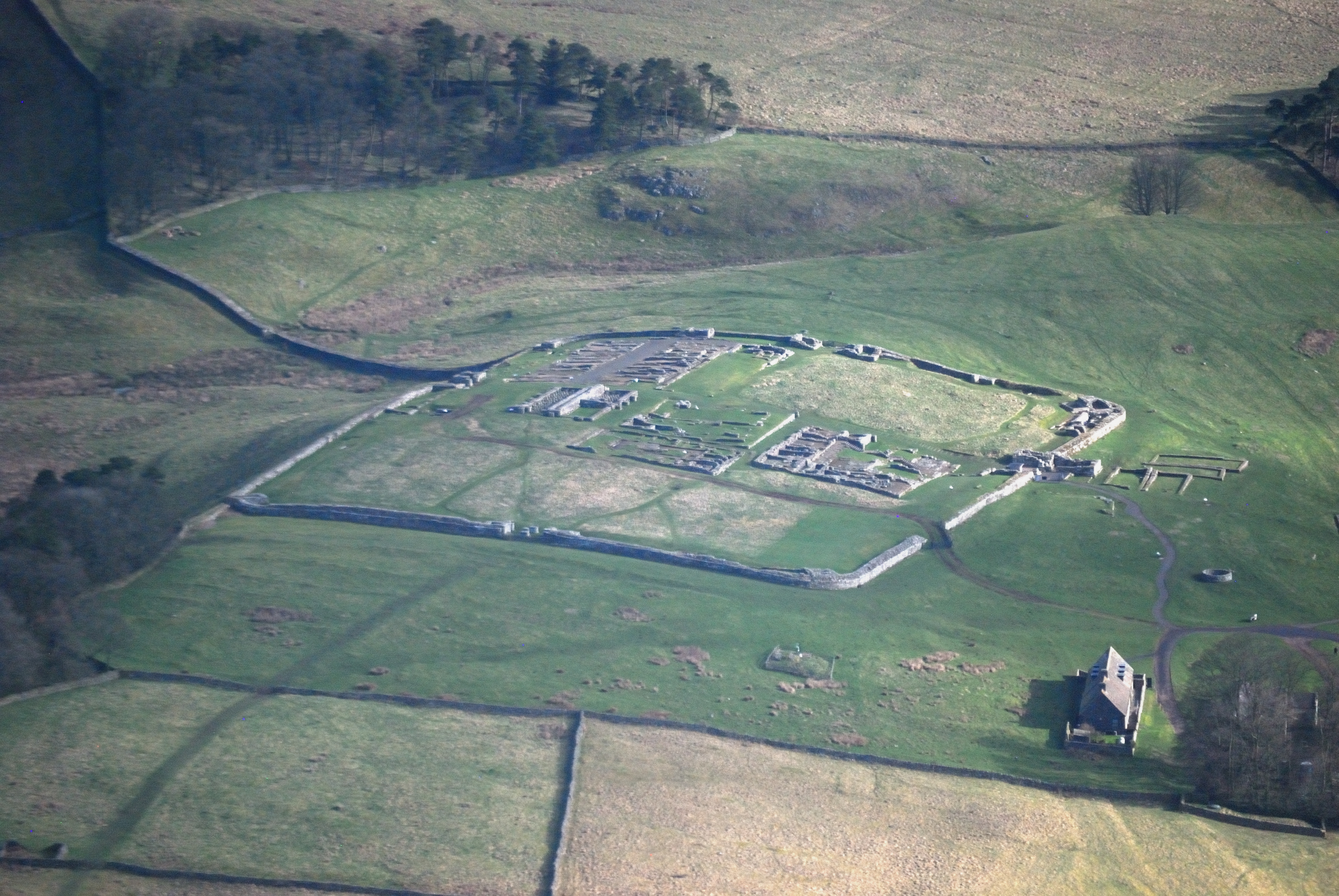
Housesteads Roman Fort
Housesteads Roman Fort is the remains of an auxiliary fort on Hadrian's Wall, at Housesteads, Northumberland, England, south of Broomlee Lough. The fort...

Milecastle 36
Milecastle 36 (King's Hill) was one of the milecastles on Hadrian's Wall (grid reference NY79726931). There is little to see on the ground as most of the...
Nearby Amenities
Located within 500m of 55.021508,-2.3334591Have you been to Ridley Common?
Leave your review of Ridley Common below (or comments, questions and feedback).