Ingman Lodge Rough Pasture
Downs, Moorland in Yorkshire Craven
England
Ingman Lodge Rough Pasture

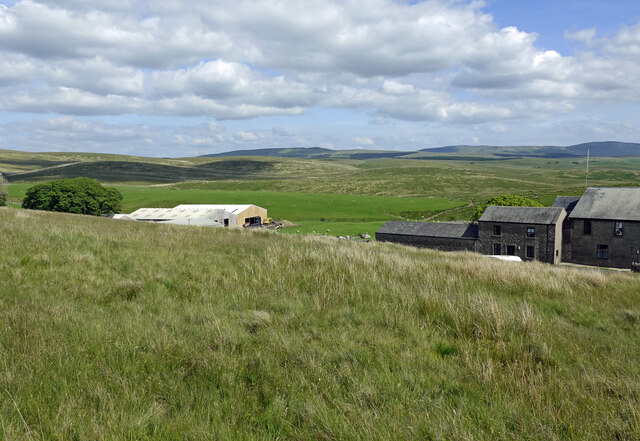
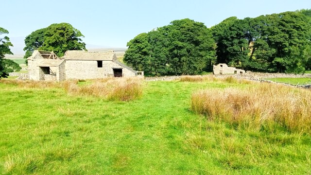
Ingman Lodge Rough Pasture is a picturesque and expansive area of land located in Yorkshire, England. Situated amidst the stunning countryside, it spans across the Downs and Moorland regions, offering a diverse and captivating landscape.
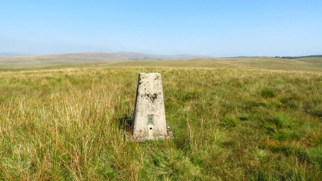
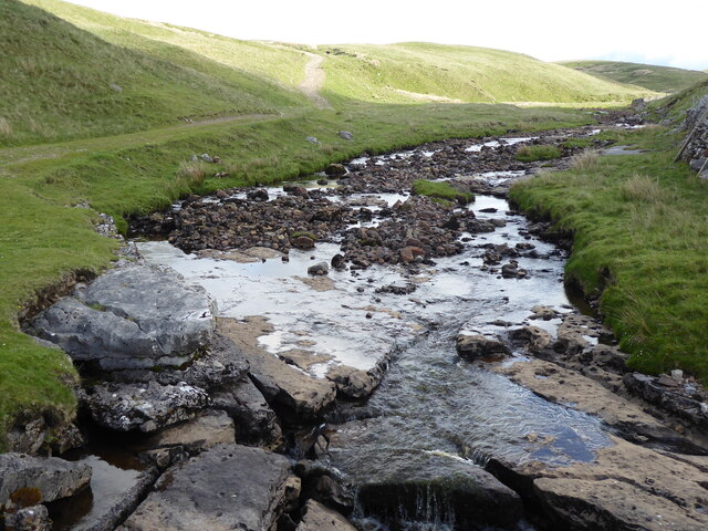
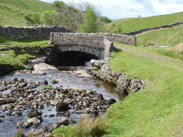
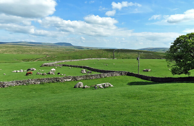
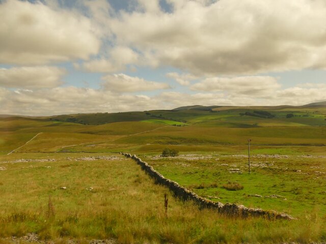
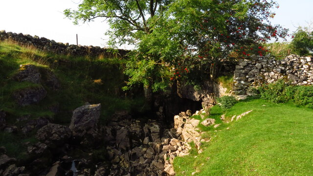
Covering a vast area, Ingman Lodge Rough Pasture boasts rolling hills, open meadows, and rugged moorlands, creating a harmonious blend of natural beauty. The land is characterized by its rich and fertile soil, which supports a variety of flora and fauna unique to the region.
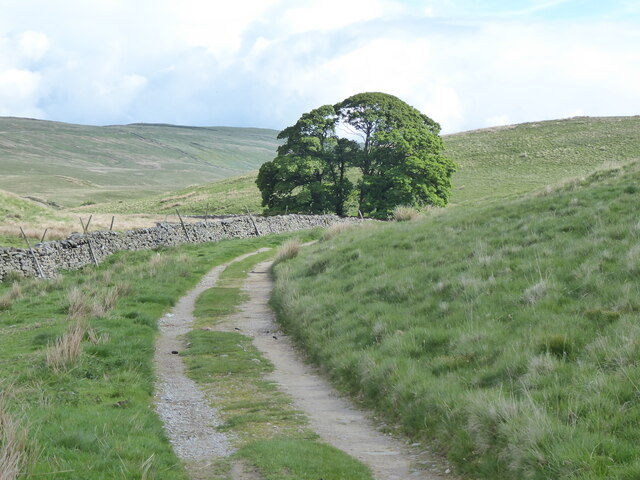
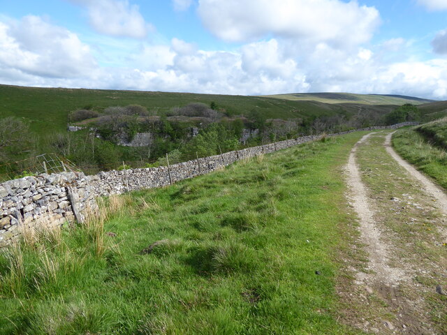
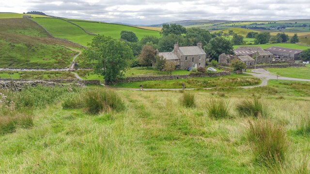
The Downs region of Ingman Lodge Rough Pasture is characterized by its gently sloping hills and grassy plains. This area is ideal for grazing livestock, and it is not uncommon to spot sheep and cattle peacefully grazing on the verdant pastures. The Downs also offer breathtaking views of the surrounding countryside, with undulating hills stretching out as far as the eye can see.
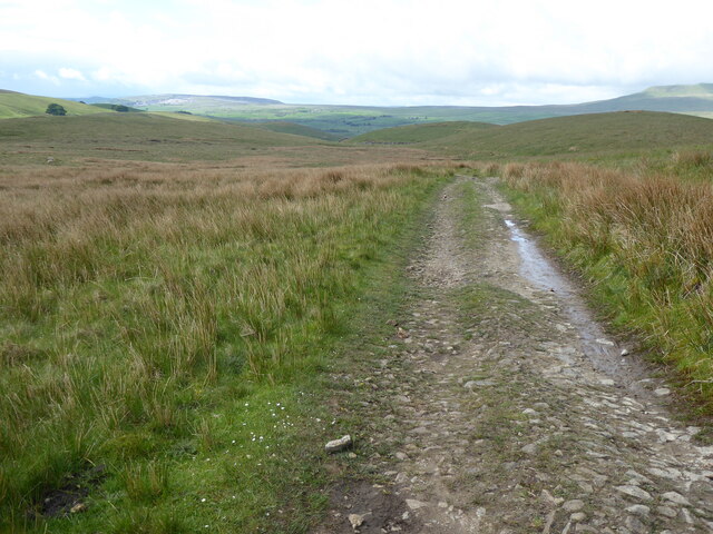
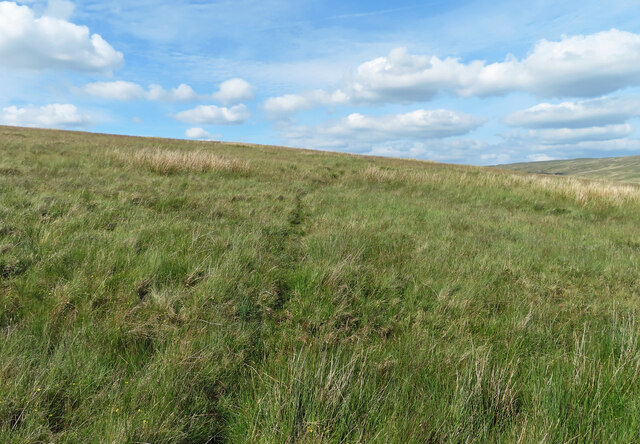
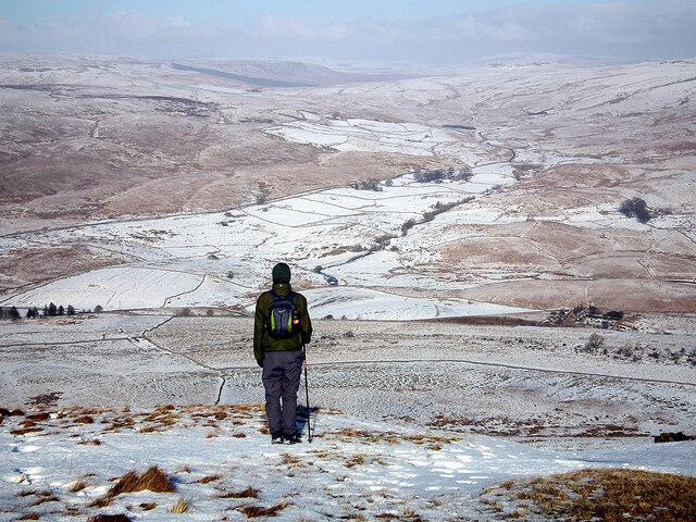
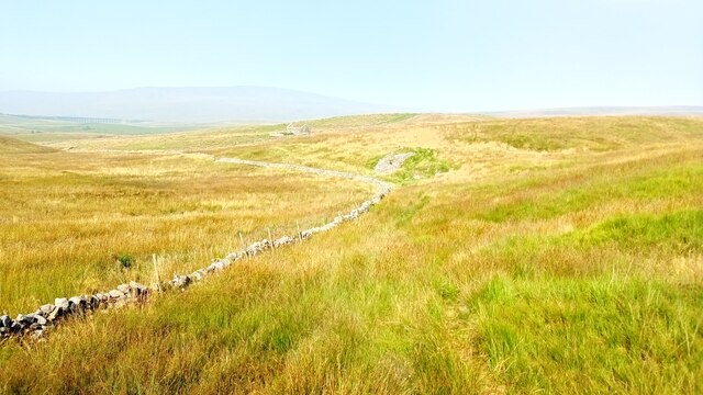
On the other hand, the Moorland region of Ingman Lodge Rough Pasture presents a more rugged and untamed landscape. Here, heather-covered hillsides and rocky outcrops dominate the scenery, creating a wild and enchanting atmosphere. The Moorland is home to a variety of wildlife, including birds of prey, grouse, and rare species of plants.
Ingman Lodge Rough Pasture is a haven for outdoor enthusiasts, offering numerous opportunities for hiking, nature walks, and birdwatching. Visitors can explore the vast network of trails that crisscross the land, immersing themselves in the tranquility and natural splendor of the area.
Overall, Ingman Lodge Rough Pasture is a true gem of Yorkshire, offering a unique combination of the gentle beauty of the Downs and the rugged charm of the Moorland. It is a place where nature thrives, and visitors can experience the true essence of Yorkshire's countryside.
If you have any feedback on the listing, please let us know in the comments section below.
Ingman Lodge Rough Pasture Images
Images are sourced within 2km of 54.199148/-2.3292666 or Grid Reference SD7878. Thanks to Geograph Open Source API. All images are credited.


Ingman Lodge Rough Pasture is located at Grid Ref: SD7878 (Lat: 54.199148, Lng: -2.3292666)
Division: West Riding
Administrative County: North Yorkshire
District: Craven
Police Authority: North Yorkshire
What 3 Words
///curry.fulfilled.universes. Near Ingleton, North Yorkshire
Nearby Locations
Related Wikis

Ling Gill
Ling Gill is a gill (or narrow valley) in the Yorkshire Dales in North Yorkshire, England. Cam Beck, a tributary of the River Ribble, flows through the...

Ribblehead
Ribblehead is the area of moorland at the head of the River Ribble in the area known as Ribblesdale, in the Yorkshire Dales National Park, England. Ribblehead...

Ribblehead Quarry
Ribblehead Quarry is a former limestone quarry next to Ribblehead railway station in the Yorkshire Dales National Park, North Yorkshire, England. It had...

High Birkwith
High Birkwith is a hamlet in the Craven district of North Yorkshire, England. It is located north of the village of Horton in Ribblesdale and in the same...

Ribblehead railway station
Ribblehead is a railway station on the Settle and Carlisle Line, which runs between Carlisle and Leeds via Settle. The station, situated 52 miles 17 chains...

Selside, North Yorkshire
Selside is a small village in Ribblesdale in North Yorkshire, England. It lies 2 miles (3 km) north west of Horton in Ribblesdale. Selside was mentioned...

Alum Pot
Alum Pot is a pothole with a large open shaft at a surface elevation of 343 metres (1,125 ft) on the eastern flanks of Simon Fell, North Yorkshire, England...

Ribblehead Viaduct
The Ribblehead Viaduct or Batty Moss Viaduct carries the Settle–Carlisle railway across Batty Moss in the Ribble Valley at Ribblehead, in North Yorkshire...
Nearby Amenities
Located within 500m of 54.199148,-2.3292666Have you been to Ingman Lodge Rough Pasture?
Leave your review of Ingman Lodge Rough Pasture below (or comments, questions and feedback).