Black Moss

Downs, Moorland in Lancashire Hyndburn

England

Black Moss

Blue Slate's Cottage and the track onwards to Hambledon
Blue Slate's Cottage and the track onwards to Hambledon Credit: Peter Moore

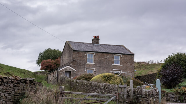
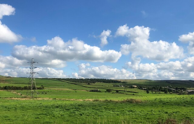
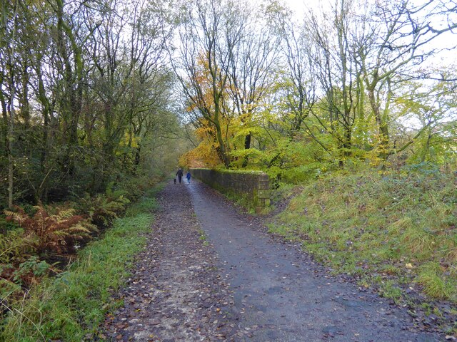
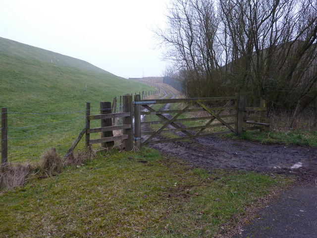
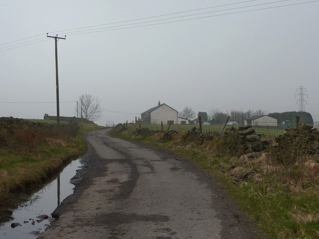
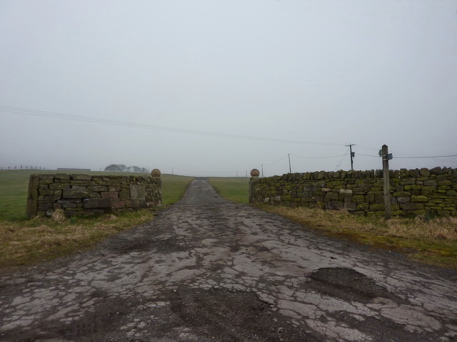
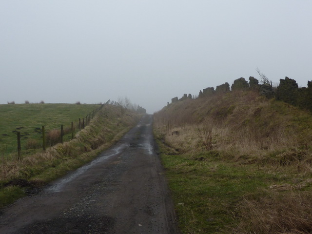
Black Moss is a region located in Lancashire, England, known for its beautiful downs and moorland landscapes. Spanning over a vast area, it offers a diverse range of natural features and picturesque scenery. The region is characterized by its rolling hills, open grasslands, and extensive peat bogs, making it a haven for nature enthusiasts and outdoor adventurers.

The downs in Black Moss are marked by their gently sloping hills, covered in lush green grasses and scattered with wildflowers. These open spaces provide ample opportunities for hiking, picnicking, and enjoying panoramic views of the surrounding countryside. The moorland, on the other hand, is a more rugged and untamed landscape, with heather-covered hills, rocky outcrops, and peat bogs. It is home to a variety of unique plant and animal species, including rare birds like the black grouse and curlew.

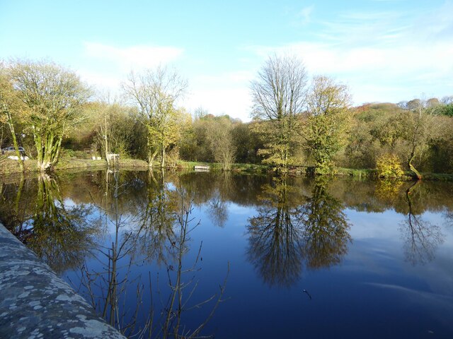
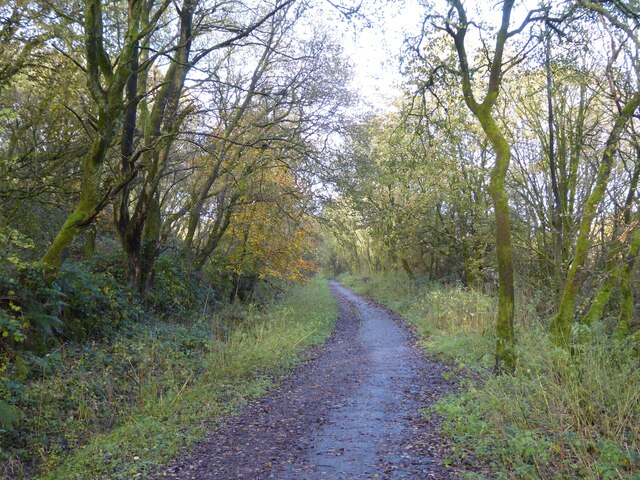
The region also boasts several walking trails and nature reserves, such as the Black Moss Reservoirs and the Trough of Bowland, offering visitors the chance to explore and appreciate the area's natural wonders. Additionally, the ancient ruins of Clitheroe Castle and the charming village of Whalley are nearby attractions that offer insights into the area's rich history and heritage.

Black Moss, Lancashire's downs and moorland are not only a treat for nature lovers but also serve as important habitats for wildlife and plant species. The region's beauty and tranquility make it a popular destination for outdoor enthusiasts and those seeking a peaceful retreat in the heart of Lancashire's countryside.

If you have any feedback on the listing, please let us know in the comments section below.

Black Moss Images

Images are sourced within 2km of 53.740216/-2.3260752 or Grid Reference SD7827. Thanks to Geograph Open Source API. All images are credited.

Blue Slate's Cottage and the track onwards to Hambledon
Summit of Great Hambledon looking south
Farmland with pylons Between Accrington and Haslingden
Farmland with pylons
Between Accrington and Haslingden
Former mill pond Now used by anglers at Sweet Clough
Former mill pond
Now used by anglers at Sweet Clough
Cycle path following route of former railway On the former route to Accrington from Bury having just passed Alliance Mill. The path is known as Hyndburn Greenway.
Cycle path following route of former railway
On the former route to Accrington from Bury having just passed Alliance Mill. The path is known as Hyndburn Greenway.
Cycle path following route of former railway On the Hyndburn Greenway with the walling on the right protecting traffic from falling down a steep drop into Woodnook Water
Cycle path following route of former railway
On the Hyndburn Greenway with the walling on the right protecting traffic from falling down a steep drop into Woodnook Water
Haslingden Grane from the Burnley Way Taken on the section of the Burnley Way linking Great Hameldon with Hameldon Hill, this is looking towards Haslingden with Haslingden Grane beyond.
Haslingden Grane from the Burnley Way
Taken on the section of the Burnley Way linking Great Hameldon with Hameldon Hill, this is looking towards Haslingden with Haslingden Grane beyond.
To Higher Withins Taken from just below Great Hameldon, Burnley, Lancashire, and looking across towards Rising Bridge and Baxenden with Higher Withins off to the left in the middle distance. The wind farm above Haslingden Grane is discernible on the left-hand horizon.
To Higher Withins
Taken from just below Great Hameldon, Burnley, Lancashire, and looking across towards Rising Bridge and Baxenden with Higher Withins off to the left in the middle distance. The wind farm above Haslingden Grane is discernible on the left-hand horizon.
Rossendale Valley This is the view of the Rossendale Valley taken from the Burnley Road. Cribden Hill is the peak on the left of the picture. Refer to picture <a href="https://www.geograph.org.uk/photo/3189779">SD7924 : Rossendale Valley</a> for a view of the valley from a higher location.
Rossendale Valley
This is the view of the Rossendale Valley taken from the Burnley Road. Cribden Hill is the peak on the left of the picture. Refer to picture SD7924 : Rossendale Valley for a view of the valley from a higher location.
Haslingden and Holcombe from Hameldon Taken from the point where Hameldon Common merges with Hameldon Hill, Lancashire, I am looking south across Haslingden Moor to Holcombe Moor in the far distance (marked out by the Peel Monument).
Haslingden and Holcombe from Hameldon
Taken from the point where Hameldon Common merges with Hameldon Hill, Lancashire, I am looking south across Haslingden Moor to Holcombe Moor in the far distance (marked out by the Peel Monument).
Oswaldtwistle Moor Taken from the point where Hameldon Hill merges with Hameldon Common, Lancashire, I am looking south west to Oswaldtwistle Moor and the windfarm spread across it and beyond to Darwen Hill and the Jubilee Tower which marks it out so distinctively.
Oswaldtwistle Moor
Taken from the point where Hameldon Hill merges with Hameldon Common, Lancashire, I am looking south west to Oswaldtwistle Moor and the windfarm spread across it and beyond to Darwen Hill and the Jubilee Tower which marks it out so distinctively.
Hameldon to Oswaldtwistle Moor Taken on the path connecting the communications masts and the weather station on Hameldon Hill with Great Hameldon above Burnley, Lancashire, I am looking south west to the wind farm on Oswaldtwistle Moor.
Hameldon to Oswaldtwistle Moor
Taken on the path connecting the communications masts and the weather station on Hameldon Hill with Great Hameldon above Burnley, Lancashire, I am looking south west to the wind farm on Oswaldtwistle Moor.
Haslingden Moor and Musbury Heights Taken on the eastern edge of Great Hameldon, Burnley, Lancashire, I am looking south west to Haslingden Moor and Musbury Heights beyond. The wind farm on Oswaldtwistle Moor is on the horizon to the right of shot.
Haslingden Moor and Musbury Heights
Taken on the eastern edge of Great Hameldon, Burnley, Lancashire, I am looking south west to Haslingden Moor and Musbury Heights beyond. The wind farm on Oswaldtwistle Moor is on the horizon to the right of shot.
Track west side of Mitchell's House Reservoir
Filter house, Mitchell's House Reservoir
King's Highway, north of Black Moss Nook Farm
Entrance and road to Hen Heads Farm
Goodshaw Lane Leads to Lane Top Farm
Goodshaw Lane
Leads to Lane Top Farm
Show me another place!

Black Moss is located at Grid Ref: SD7827 (Lat: 53.740216, Lng: -2.3260752)

Administrative County: Lancashire

District: Hyndburn

Police Authority: Lancashire

What 3 Words

///beanbag.jetted.dangerously. Near Hameldon Hill, Lancashire

Related Wikis

River Hyndburn

The River Hyndburn is a minor river in Lancashire, England. Beginning as Woodnook Water on the slopes of Goodshaw Hill, it passes through Stone Fold, Rising...

Baxenden

Baxenden is a village and ward in the Borough of Hyndburn in Lancashire, North-West England. The ward population taken at the 2011 census was 4,042. Baxenden...

Baxenden railway station

Baxenden railway station served the villages of Baxenden in Hyndburn and Rising Bridge in Rossendale. It was situated just inside the old boundary of Haslingden...

The Hollins

The Hollins (formerly known as The Hollins Technology College until 2017) is a coeducational secondary school located in Accrington in the English county...

Nearby Amenities

Located within 500m of 53.740216,-2.3260752
Parking
Created By: Potlatch 0.10f
Description: Layby
Lat/Long: 53.7444513/-2.3285157
Crossing
Crossing: unmarked
Lat/Long: 53.7376257/-2.327544
Power: tower
Source: OS 1:25k
Lat/Long: 53.7435813/-2.3305337
Power: tower
Source: OS 1:25k
Lat/Long: 53.7415476/-2.3273472
Power: tower
Source: OS 1:25k
Lat/Long: 53.738378/-2.3266552
Crossing
Crossing: unmarked
Lat/Long: 53.7417674/-2.3275298
Crossing
Crossing: unmarked
Lat/Long: 53.7408412/-2.3275783
Crossing
Crossing: unmarked
Lat/Long: 53.7408411/-2.3277632
Crossing
Crossing: unmarked
Lat/Long: 53.7376301/-2.3277277
Generator Method: wind_turbine
Generator Source: wind
Power: generator
Lat/Long: 53.7400076/-2.3230058
The data included in this document is from www.openstreetmap.org. The data is made available under ODbL.

Have you been to Black Moss?

Leave your review of Black Moss below (or comments, questions and feedback).