Blea Moor Moss
Downs, Moorland in Yorkshire Craven
England
Blea Moor Moss
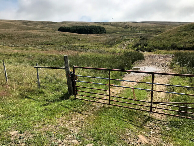
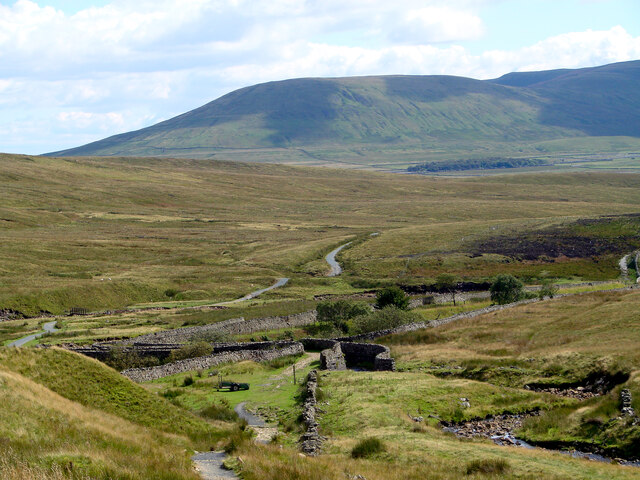
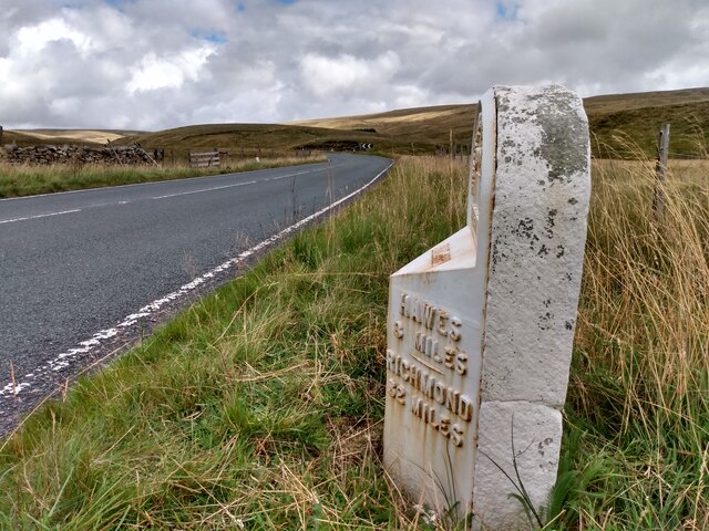
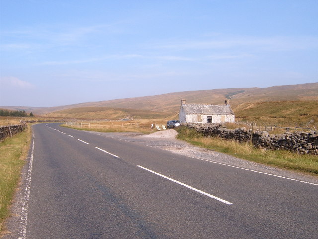
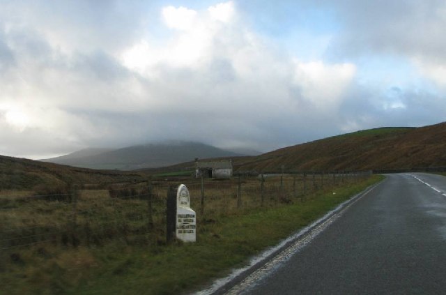
Blea Moor Moss is a vast expanse of moorland located in the county of Yorkshire, England. Situated in the heart of the Yorkshire Dales National Park, it covers an area of approximately 1,400 hectares. The moss is part of the larger area known as the Yorkshire Dales uplands, characterized by its rolling hills, rugged terrain, and stunning natural beauty.
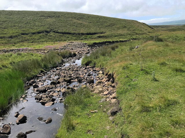
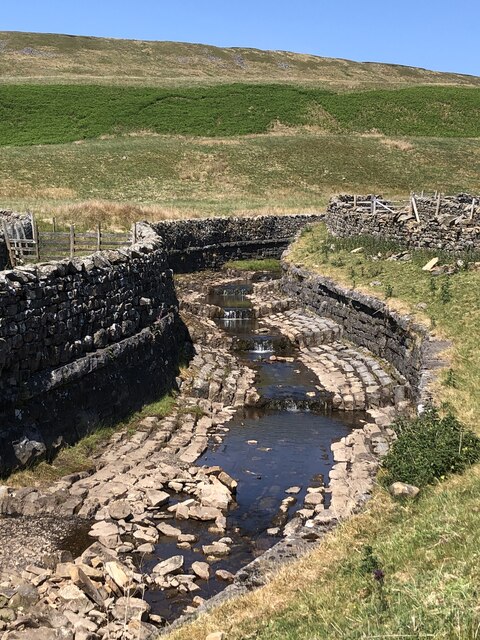
The moorland is predominantly composed of peat, which has formed over thousands of years due to the accumulation of decaying plant material. This unique habitat supports a diverse range of flora and fauna, including heather, cotton grass, and various species of mosses. The moss is also home to a number of bird species, such as curlews, lapwings, and red grouse, which thrive in the open moorland environment.
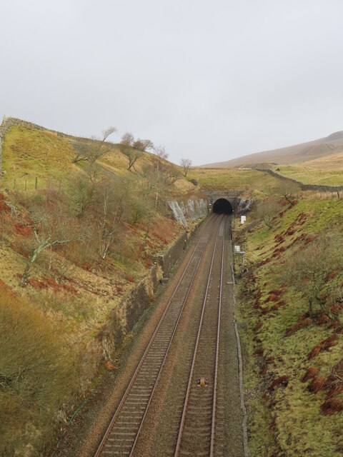
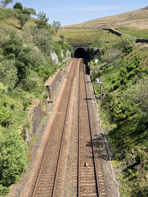
Blea Moor Moss is intersected by the famous Settle-Carlisle railway line, which passes through the area via a tunnel known as Blea Moor Tunnel. This tunnel, built in the late 19th century, is an impressive engineering feat and adds to the charm of the surroundings. The moss offers visitors a chance to experience the unique atmosphere of the moorland, with its wild and untamed landscape.
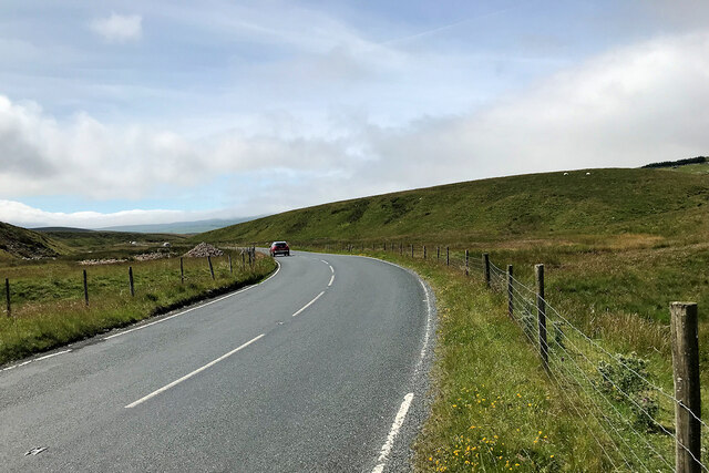
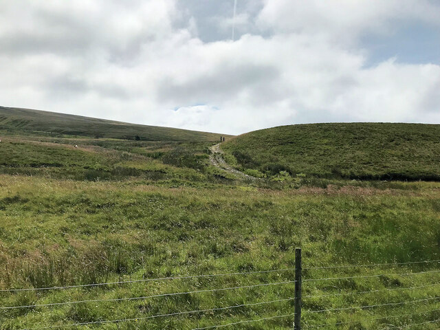
Visitors to Blea Moor Moss can explore the area on foot, following designated paths and trails that wind through the terrain. The moss provides stunning panoramic views of the surrounding countryside, including the nearby peaks of Whernside and Ingleborough. It is a haven for nature enthusiasts, offering opportunities for birdwatching, photography, and simply enjoying the tranquility of the moorland environment.
Overall, Blea Moor Moss is a captivating natural landscape that showcases the beauty and diversity of Yorkshire's uplands. Its rich wildlife, distinctive peatland habitat, and picturesque surroundings make it a must-visit destination for anyone exploring the Yorkshire Dales.
If you have any feedback on the listing, please let us know in the comments section below.
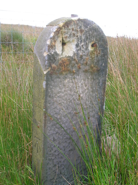
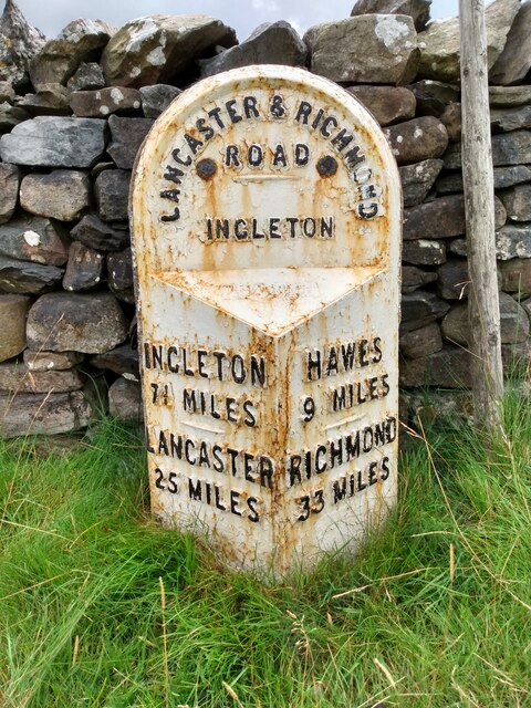
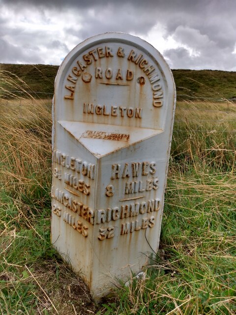
Blea Moor Moss Images
Images are sourced within 2km of 54.234846/-2.3391702 or Grid Reference SD7782. Thanks to Geograph Open Source API. All images are credited.


Blea Moor Moss is located at Grid Ref: SD7782 (Lat: 54.234846, Lng: -2.3391702)
Division: West Riding
Administrative County: North Yorkshire
District: Craven
Police Authority: North Yorkshire
What 3 Words
///agency.fixtures.airliners. Near Ingleton, North Yorkshire
Nearby Locations
Related Wikis
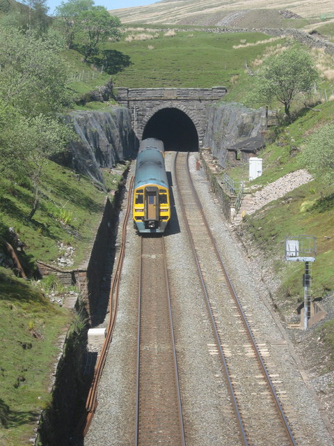
Blea Moor Tunnel
Blea Moor Tunnel is a 2,629 yards (1.494 mi)(2,404 m) railway tunnel located between Ribblehead Viaduct and Dent railway station in England. It is the...

Dent Head Viaduct
Dent Head Viaduct is a railway viaduct on the Settle–Carlisle line in Dentdale, Cumbria, England. It is the second major viaduct on the line northwards...

Ribblehead
Ribblehead is the area of moorland at the head of the River Ribble in the area known as Ribblesdale, in the Yorkshire Dales National Park, England. Ribblehead...

Newby Head
Newby Head, Newby Head Farm or Newby Head Inn is part of the Beresford Estate and was a popular drovers' inn in North Yorkshire, England. Now a farmhouse...
Nearby Amenities
Located within 500m of 54.234846,-2.3391702Have you been to Blea Moor Moss?
Leave your review of Blea Moor Moss below (or comments, questions and feedback).