Lick Fields

Downs, Moorland in Northumberland

England

Lick Fields

St. Mark's Church St Mark's offers breathtaking views over the remote West Allen valley and a fascinating local history and is on the Isaac Tea Trail North Pennines Heritage Walk.
St. Mark's Church Credit: Colin Kinnear

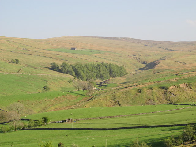
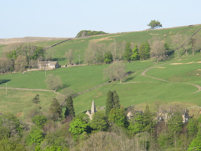
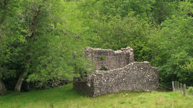
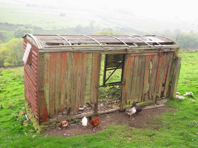
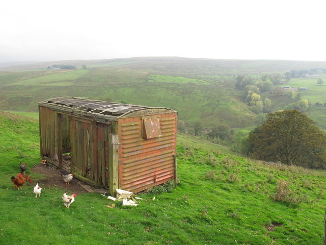
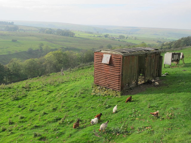
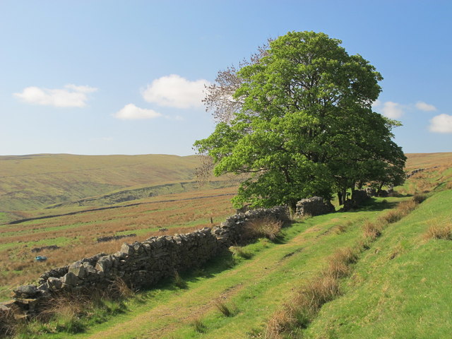
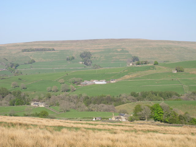
Lick Fields is a vast expanse of scenic beauty located in the county of Northumberland, England. Stretching across the mesmerizing landscape of the region, this area encompasses a diverse range of terrains, including downs, moorland, and open fields.

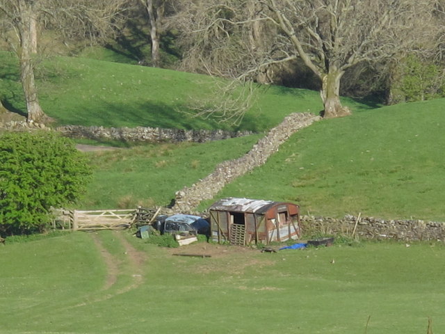
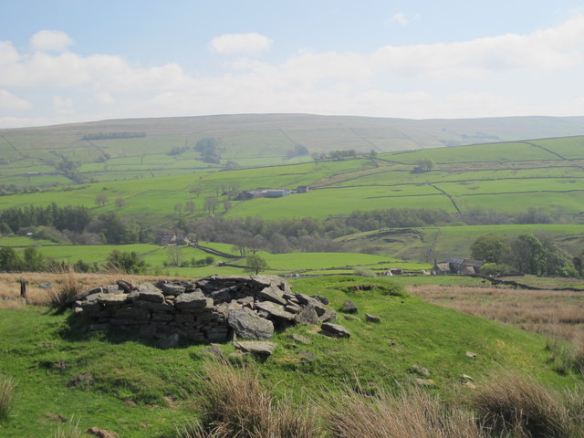
The downs of Lick Fields are characterized by their rolling hills, offering panoramic views of the surrounding countryside. These gentle slopes are covered in lush grasses and dotted with wildflowers during the summer months, creating a picturesque setting for hikers and nature enthusiasts. The open fields within the area are expansive and provide ample space for agricultural activities, such as farming and grazing livestock.

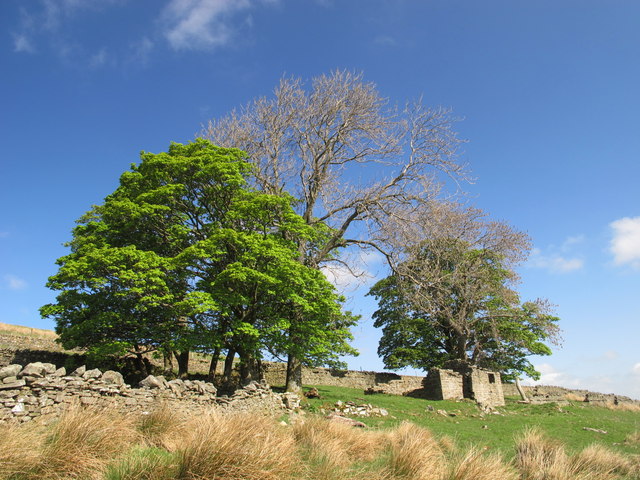
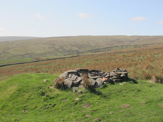
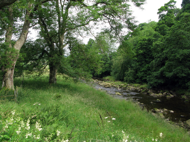
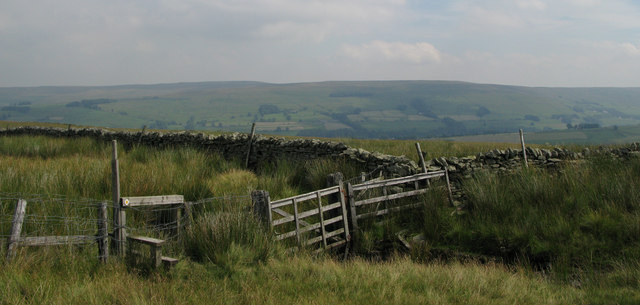
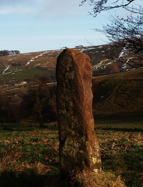
One of the defining features of Lick Fields is its moorland, which adds a touch of ruggedness to the landscape. Covered in heather and scattered with peat bogs, the moorland provides a unique habitat for a variety of wildlife, including birds, insects, and small mammals. The moorland also boasts several walking trails, allowing visitors to explore and immerse themselves in the untamed beauty of the area.

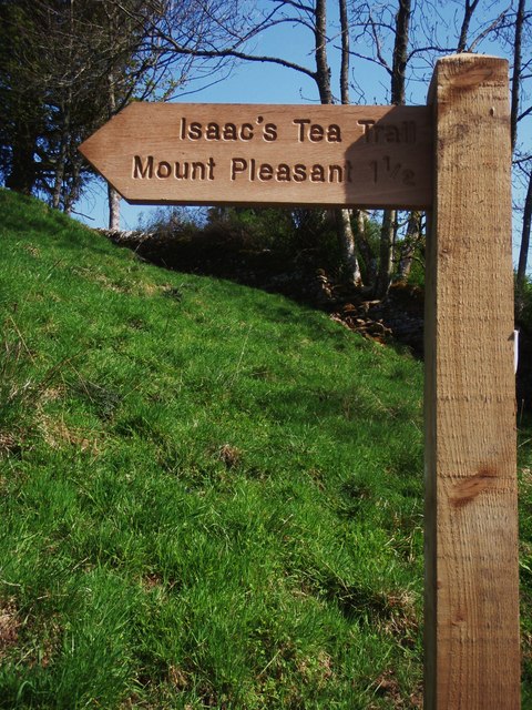
Lick Fields is a haven for outdoor activities, attracting visitors with its vast countryside and fresh air. It offers opportunities for hiking, birdwatching, picnicking, and even camping, making it a popular destination for nature lovers and families alike.

Overall, Lick Fields in Northumberland is a stunning location that showcases the diverse natural beauty of the region. Whether you are seeking tranquility, adventure, or simply a connection with nature, Lick Fields provides an idyllic setting to escape the hustle and bustle of daily life.

If you have any feedback on the listing, please let us know in the comments section below.
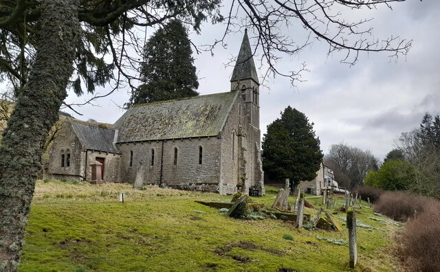
Lick Fields Images

Images are sourced within 2km of 54.85417/-2.3446149 or Grid Reference NY7751. Thanks to Geograph Open Source API. All images are credited.

St. Mark's Church St Mark's offers breathtaking views over the remote West Allen valley and a fascinating local history and is on the Isaac Tea Trail North Pennines Heritage Walk.
St. Mark's Church
St Mark's offers breathtaking views over the remote West Allen valley and a fascinating local history and is on the Isaac Tea Trail North Pennines Heritage Walk.
Ruin south of Fairplay
Disused mine shaft south of Fairplay
Old railway goods van near Mohope Head (2) See also <a href="https://www.geograph.org.uk/photo/692103">NY7750 : Old railway goods van near Mohope Head</a>.
Old railway goods van near Mohope Head (2)
The upper Mohope valley Shows the location of <a href="https://www.geograph.org.uk/photo/2384495">NY7750 : Old railway goods van near Mohope Head (2)</a>. In the middle distance (centre) is <a href="https://www.geograph.org.uk/photo/136467">NY7749 : Appletree Shield</a> and on the far side of the valley above the woodland is <a href="https://www.geograph.org.uk/photo/135202">NY7848 : New House</a> (both photographed by Andrew Smith).
The upper Mohope valley
Shows the location of NY7750 : Old railway goods van near Mohope Head (2). In the middle distance (centre) is NY7749 : Appletree Shield and on the far side of the valley above the woodland is NY7848 : New House (both photographed by Andrew Smith).
The valley of the River West Allen south of Ninebanks The church spire is that of <a href="https://www.geograph.org.uk/photo/413145">NY7852 : St. Mark's Church, south of Ninebanks</a>. Photo taken from the minor road to Mohope Head in <a href="https://www.geograph.org.uk/gridref/NY7751">NY7751</a>.
The valley of the River West Allen south of Ninebanks
The church spire is that of NY7852 : St. Mark's Church, south of Ninebanks. Photo taken from the minor road to Mohope Head in NY7751.
River West Allen downstream at Ninebanks Seen from beside a bridge over the river below Ninebanks church the River West Allen heads towards its meeting with the East Allen.
River West Allen downstream at Ninebanks
Seen from beside a bridge over the river below Ninebanks church the River West Allen heads towards its meeting with the East Allen.
Fence and wall junction with stile In West Allendale a rough lane leads onto a ridge above Keirsleywell Row. A byway follows that lane and from the byway branches a path which crosses the fence by the stile in the photograph.
Fence and wall junction with stile
In West Allendale a rough lane leads onto a ridge above Keirsleywell Row. A byway follows that lane and from the byway branches a path which crosses the fence by the stile in the photograph.
Ruined building at confluence of Mohope and Wellhope Burns The Mohope Burn is below to the left, the Wellhope to the right. The ruin is in the angle of the confluence; its purpose unknown.
Ruined building at confluence of Mohope and Wellhope Burns
The Mohope Burn is below to the left, the Wellhope to the right. The ruin is in the angle of the confluence; its purpose unknown.
Old railway goods van near Limestone Brae The location of this old railway goods van is shown in <a href="https://www.geograph.org.uk/photo/2632397">NY7950 : West Allen Dale around Limestone Brae</a> and <a href="https://www.geograph.org.uk/photo/2632414">NY7950 : West Allen Dale north of Limestone Brae</a>.
Old railway goods van near Limestone Brae
The location of this old railway goods van is shown in NY7950 : West Allen Dale around Limestone Brae and NY7950 : West Allen Dale north of Limestone Brae.
West Allen Dale around Limestone Brae Shows the location of <a href="https://www.geograph.org.uk/photo/2632388">NY7950 : Old railway goods van near Limestone Brae</a>.
West Allen Dale around Limestone Brae
West Allen Dale north of Limestone Brae Shows the location of <a href="https://www.geograph.org.uk/photo/2632388">NY7950 : Old railway goods van near Limestone Brae</a>.
West Allen Dale north of Limestone Brae
Mohope Head Shows the location of <a href="https://www.geograph.org.uk/photo/2384495">NY7750 : Old railway goods van near Mohope Head (2)</a> (just right of centre, at the far end of the field beyond the line of trees).
Mohope Head
Shows the location of NY7750 : Old railway goods van near Mohope Head (2) (just right of centre, at the far end of the field beyond the line of trees).
Track and rough pastures south of Fairplay With Mohope Moor beyond. For a view back from the other side of the trees, see <a href="https://www.geograph.org.uk/photo/2383721">NY7650 : Ruin south of Fairplay</a>.
Track and rough pastures south of Fairplay
With Mohope Moor beyond. For a view back from the other side of the trees, see NY7650 : Ruin south of Fairplay.
Old mine shaft above Mohope Head Looking across the Mohope valley towards <a href="https://www.geograph.org.uk/photo/413226">NY7750 : Hesleywell Farm</a>.
Old mine shaft above Mohope Head
Looking across the Mohope valley towards NY7750 : Hesleywell Farm.
Mohope Head (2) Looking across the valley towards <a href="https://www.geograph.org.uk/photo/413226">NY7750 : Hesleywell Farm</a>.
Mohope Head (2)
Looking across the valley towards NY7750 : Hesleywell Farm.
Mount Pleasant footpath sign on Isaac's Tea Trail The bladed footpath sign points past St. Mark's Church at Ninebanks up the bank towards the Dryburn area overlooking the West Allen Valley.
Mount Pleasant footpath sign on Isaac's Tea Trail
The bladed footpath sign points past St. Mark's Church at Ninebanks up the bank towards the Dryburn area overlooking the West Allen Valley.
Mere stone in Mohope For walkers on Isaac's Tea Trail the lone mere stone is a poignant reminder of the time when land at Mohope was held under common ownership until around the late 1700s. It would also have acted as a marker for the established path for livestock to be driven. It also served to differentiate land use between summer hay crops and winter pasture.
Mere stone in Mohope
For walkers on Isaac's Tea Trail the lone mere stone is a poignant reminder of the time when land at Mohope was held under common ownership until around the late 1700s. It would also have acted as a marker for the established path for livestock to be driven. It also served to differentiate land use between summer hay crops and winter pasture.
Show me another place!

Lick Fields is located at Grid Ref: NY7751 (Lat: 54.85417, Lng: -2.3446149)

Unitary Authority: Northumberland

Police Authority: Northumbria

What 3 Words

///patching.honestly.sunset. Near Alston, Cumbria

Nearby Locations

Lick Fields

Related Wikis

Ouston, Ninebanks

Ouston is a small settlement in south west Northumberland, England in the North Pennines Area of Outstanding Natural Beauty 8 miles (13 km) north-east...

Throssel Hole Buddhist Abbey

Throssel Hole Buddhist Abbey is a Buddhist monastery and retreat centre located in Northumberland, in northern England. The monastic order is equally for...

Ninebanks

Ninebanks is a small village in south west Northumberland, England in the North Pennines Area of Outstanding Natural Beauty 8 miles (13 km) north-east...

Carr Shield

Carrshield is a village in Northumberland, in England. It is situated in the Pennines approximately between Penrith and Hexham. It is a small village with...

Nearby Amenities

Located within 500m of 54.85417,-2.3446149
The data included in this document is from www.openstreetmap.org. The data is made available under ODbL.

Have you been to Lick Fields?

Leave your review of Lick Fields below (or comments, questions and feedback).