The Grove

Downs, Moorland in Gloucestershire Stroud

England

The Grove

Disused lock on the Stroudwater Canal
Disused lock on the Stroudwater Canal Credit: David Griffiths

The Grove, located in Gloucestershire, is a picturesque area that encompasses both downs and moorland. It is situated in the southwestern part of England, in the county of Gloucestershire. The landscape of The Grove is characterized by rolling hills, vast open spaces, and a diverse array of flora and fauna.

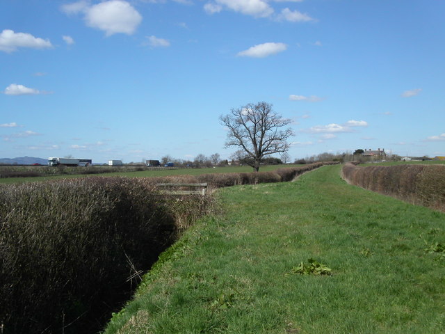
The downs in The Grove are expansive grassy areas that provide breathtaking views of the surrounding countryside. The gently sloping hills create a sense of tranquility, making it a popular spot for leisurely walks and picnics. The downs are also home to a variety of wildflowers, adding bursts of color to the landscape.

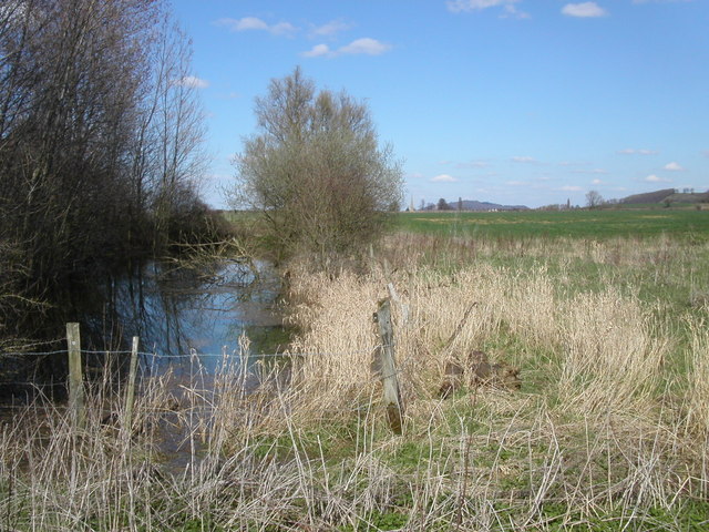
In contrast, the moorland in The Grove offers a rugged and wild terrain. It is characterized by rocky outcrops, heathland, and peat bogs. The moorland provides a unique habitat for a range of wildlife, including birds, reptiles, and insects. Visitors to The Grove can often spot species such as red grouse, skylarks, and adders in this area.

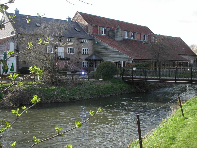
The Grove is also known for its rich history and cultural heritage. There are several ancient burial mounds and archaeological sites scattered throughout the area, providing a glimpse into the region's past. Additionally, The Grove is home to a number of charming villages and traditional pubs, where visitors can experience the warm hospitality of the locals.

Overall, The Grove in Gloucestershire offers a combination of stunning natural beauty, diverse landscapes, and a rich cultural heritage, making it an ideal destination for nature enthusiasts and history buffs alike.

If you have any feedback on the listing, please let us know in the comments section below.
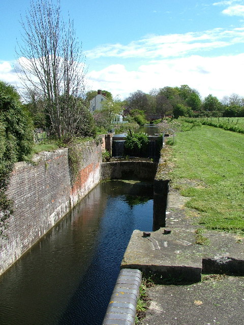
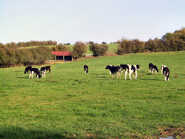
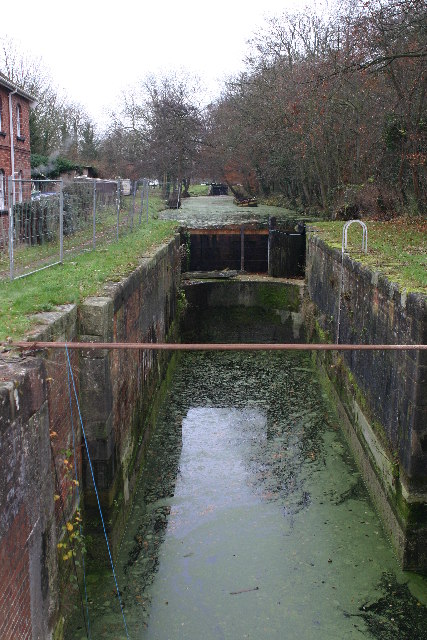
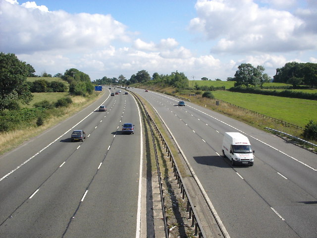
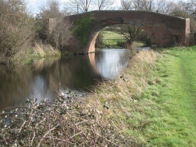
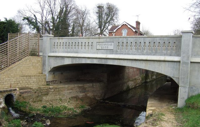
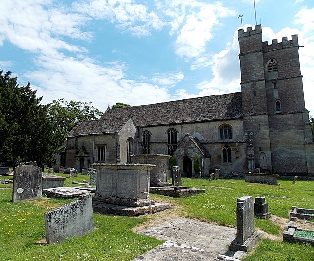
The Grove Images

Images are sourced within 2km of 51.763556/-2.3208171 or Grid Reference SO7707. Thanks to Geograph Open Source API. All images are credited.

Disused lock on the Stroudwater Canal
Home on the Range Cattle grazing in front of their byre below Grove End Farm, adjacent to the A419 extension which links the M5 to the A38 along the course of the old canal.
Home on the Range
Cattle grazing in front of their byre below Grove End Farm, adjacent to the A419 extension which links the M5 to the A38 along the course of the old canal.
Stroudwater canal Looking E from position
Stroudwater canal
Looking E from position
M5 motorway From bridge over the motorway, looking north west.
M5 motorway
From bridge over the motorway, looking north west.
Fromebridge mill The Fromebridge mill on the river Frome is now a pub and restaurant. It was originally a corn mill.
Fromebridge mill
The Fromebridge mill on the river Frome is now a pub and restaurant. It was originally a corn mill.
Bridleway at Manor farm This section of the bridleway runs close to the M5. May Hill can be seen on the far left horizon.
Bridleway at Manor farm
This section of the bridleway runs close to the M5. May Hill can be seen on the far left horizon.
Small pond This small pond lies at a junction of two bridleways and three footpaths. Following past the pond the bridleway leads north to Standish village. Just visible is the tower of Standish church.
Small pond
This small pond lies at a junction of two bridleways and three footpaths. Following past the pond the bridleway leads north to Standish village. Just visible is the tower of Standish church.
A38 Frampton on Severn turnoff The B4071 junction on the A38 takes you down to Frampton on Severn and the Gloucester and Sharpness canal.
A38 Frampton on Severn turnoff
The B4071 junction on the A38 takes you down to Frampton on Severn and the Gloucester and Sharpness canal.
Highway Agency depot A new structure being built at the motorway maintenance compound close to  Eastington next to the M5 Jct13.
Highway Agency depot
A new structure being built at the motorway maintenance compound close to Eastington next to the M5 Jct13.
Blunder Lock Part of the Stroudwater Canal which, it is intended, will form part of the Thames and Severn canal link once reopened.  As this section is currently land locked, boats are only normally seen here in the summer.
Blunder Lock
Part of the Stroudwater Canal which, it is intended, will form part of the Thames and Severn canal link once reopened. As this section is currently land locked, boats are only normally seen here in the summer.
New housing in Whitminster The small village of Whitminster has a large quantity of new housing, mostly executive homes that look as if they're made out of lego. The proximity to the M5 and easy commuting distance to Bristol, Gloucester and Cheltenham has no doubt contributed to the village's expansion.
New housing in Whitminster
The small village of Whitminster has a large quantity of new housing, mostly executive homes that look as if they're made out of lego. The proximity to the M5 and easy commuting distance to Bristol, Gloucester and Cheltenham has no doubt contributed to the village's expansion.
Whitminster crossroads on the A38 In the A38's glory days as a trunk road this would probably have been a straightforward two-lane dual carriageway, but now the M5 has taken away most of the traffic it has been reduced to one lane in each direction to improve safety, with a forest of signs and cameras reinforcing the message. This junction straddles the 08 grid line: the foreground is in SO7707, but everything the other side of the central reservation gap is in SO7708.
Whitminster crossroads on the A38
In the A38's glory days as a trunk road this would probably have been a straightforward two-lane dual carriageway, but now the M5 has taken away most of the traffic it has been reduced to one lane in each direction to improve safety, with a forest of signs and cameras reinforcing the message. This junction straddles the 08 grid line: the foreground is in SO7707, but everything the other side of the central reservation gap is in SO7708.
Oldends Industrial Estate
Bare trees and mistletoe Mistletoe is common in this area but it obviously prefers the old apple tree in this field to its larger neighbour.
Bare trees and mistletoe
Mistletoe is common in this area but it obviously prefers the old apple tree in this field to its larger neighbour.
Pill box This WWII pill box is close to the disused Stroudwater Canal
Pill box
This WWII pill box is close to the disused Stroudwater Canal
Pipeline crossing the Stroudwater Canal The start point, end point and contents of this pipe crossing the disused Stroudwater Canal are officially a mystery!  Quite what will happen to it if and when this part of the canal is restored is also uncertain.

It's also a bit of a mystery which grid square the pipe crossing is in, but I've plumped for this one.
Pipeline crossing the Stroudwater Canal
The start point, end point and contents of this pipe crossing the disused Stroudwater Canal are officially a mystery! Quite what will happen to it if and when this part of the canal is restored is also uncertain. It's also a bit of a mystery which grid square the pipe crossing is in, but I've plumped for this one.
Occupation Bridge The image shows Occupation Bridge over the disused Stroudwater Canal.  It was an 'accommodation' bridge, which merely linked fields on either side of the canal rather than carrying a road or track.
Occupation Bridge
The image shows Occupation Bridge over the disused Stroudwater Canal. It was an 'accommodation' bridge, which merely linked fields on either side of the canal rather than carrying a road or track.
Pike Bridge This bridge over the Stroudwater Canal replaces one destroyed in 1970. Read about the history here: <span class="nowrap"><a title="http://www.stroudwater.co.uk/pikebridge/" rel="nofollow ugc noopener" href="http://www.stroudwater.co.uk/pikebridge/">Link</a><img style="margin-left:2px;" alt="External link" title="External link - shift click to open in new window" src="https://s1.geograph.org.uk/img/external.png" width="10" height="10"/></span>
Pike Bridge
This bridge over the Stroudwater Canal replaces one destroyed in 1970. Read about the history here: LinkExternal link
Show me another place!

The Grove is located at Grid Ref: SO7707 (Lat: 51.763556, Lng: -2.3208171)

Administrative County: Gloucestershire

District: Stroud

Police Authority: Gloucestershire

What 3 Words

///plodded.tequila.backfired. Near Eastington, Gloucestershire

Nearby Locations

The Grove

Related Wikis

Eco Park (stadium)

Eco Park is a proposed stadium in Gloucestershire, England. If constructed, the stadium will be the home ground of Forest Green Rovers. It is reputedly...

Whitminster

Whitminster is a village and civil parish in Gloucestershire, England, and on the A38 trunk road approximately 6 miles (10 km) south of Gloucester and...

Churchend, Eastington

Churchend is a hamlet in Gloucestershire, England, 4 miles (6.4 km) west of Stroud. It is part of the civil parish of Eastington. The church of St Michael...

Alkerton, Gloucestershire

Alkerton is a village in Gloucestershire, England. It is located along the M5 motorway just east of the River Severn. It is part of the parish of Eastington...

Nearby Amenities

Located within 500m of 51.763556,-2.3208171
Motorway Junction
Stroudwater
Destination: A419 Stroud, Dursley
Layer: 3
Ref: 13
Lat/Long: 51.7628108/-2.3185805
Westend
Is In: Stonehouse
Place: hamlet
Source: NPE + local knowledge
Lat/Long: 51.7600361/-2.3172144
Bus Stop
Westend Farm
Naptan AtcoCode: 1600GL5099
Naptan Bearing: N
Naptan CommonName: Westend Farm
Naptan Indicator: Opp
Naptan NaptanCode: gloatgwj
Naptan Street: Grove Ln
Naptan Verified: no
Source: naptan_import
Lat/Long: 51.761078/-2.3161177
Bus Stop
Westend Farm
Naptan AtcoCode: 1600GL5100
Naptan Bearing: S
Naptan CommonName: Westend Farm
Naptan NaptanCode: gloatgwp
Naptan Street: Grove Ln
Naptan Verified: no
Source: naptan_import
Lat/Long: 51.7610153/-2.3160159
Phone
Check Date: 2023-02-05
Emergency: phone
Source: survey
Lat/Long: 51.7604939/-2.3221021
Phone
Check Date: 2023-02-05
Emergency: phone
Source: survey
Lat/Long: 51.7602787/-2.32162
Westend Farm
Place: locality
Source: OS Opendata Streetview
Lat/Long: 51.7614417/-2.3148809
Give Way
Direction: forward
Lat/Long: 51.7599133/-2.3250179
Give Way
Direction: forward
Lat/Long: 51.7610036/-2.3250266
Post Box
Collection Times: Mo-Fr 09:00; Sa 07:00
Post Box Type: wall
Ref: GL10 153D
Royal Cypher: GR
Royal Cypher Wikidata: Q33102273
Lat/Long: 51.7612894/-2.3159855
Power: pole
Lat/Long: 51.7640278/-2.3145492
Power: pole
Lat/Long: 51.7647408/-2.31502
Power: pole
Lat/Long: 51.7669767/-2.316467
Power: pole
Lat/Long: 51.7664696/-2.3161371
Material: wood
Power: pole
Lat/Long: 51.7652587/-2.3153405
Material: wood
Power: pole
Lat/Long: 51.7659443/-2.3157831
Traffic Calming: bump
Lat/Long: 51.7607492/-2.325441
Power: pole
Lat/Long: 51.763313/-2.3140741
The data included in this document is from www.openstreetmap.org. The data is made available under ODbL.

Have you been to The Grove?

Leave your review of The Grove below (or comments, questions and feedback).